Walbury Hill
297 Meters
974 Feet
23rd February 2026
A Little Trespass Never Hurt
Since my last outing (a long weekend in late October when I managed to chalk off five tops) a lot of “stuff” has been going on, and it is a long list. Greenland, Epstein fallout (on repeat), Tariffs misunderstood, Ukraine (US inertia continues), Andrew (see above – on repeat loop) and so much more. On a personal note, getting opportunities to travel have been severely limited. The weather for one thing (I wonder if we’ll look back in years to come and remember the incessant rain, cold and absence of sun), but also an elderly family member’s slow decline and on-going care requirements. Which prompted this very short getaway.
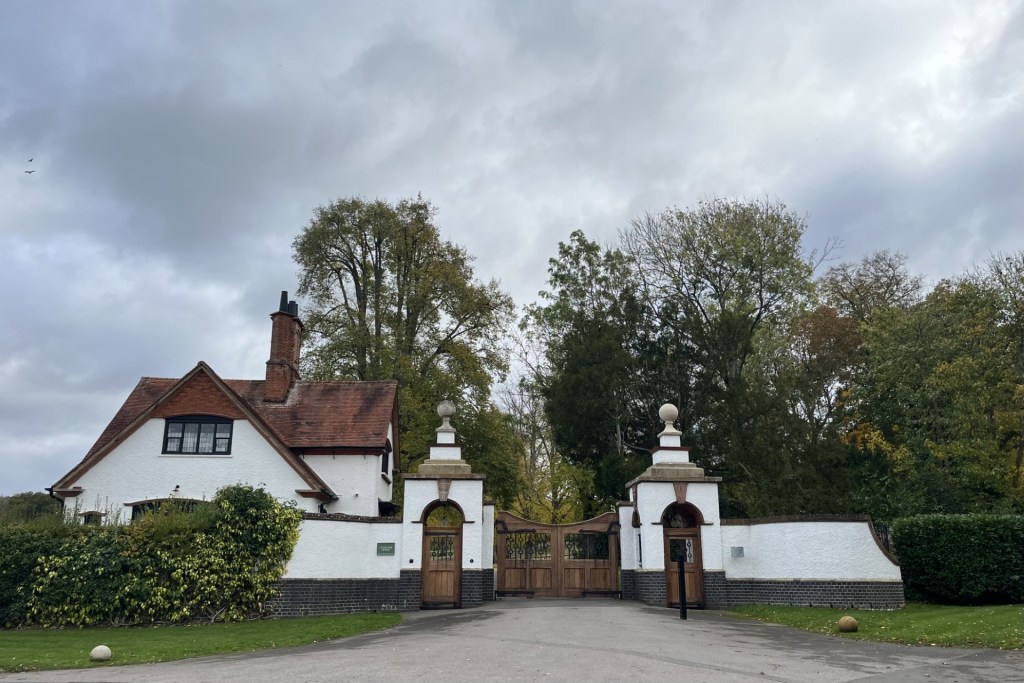
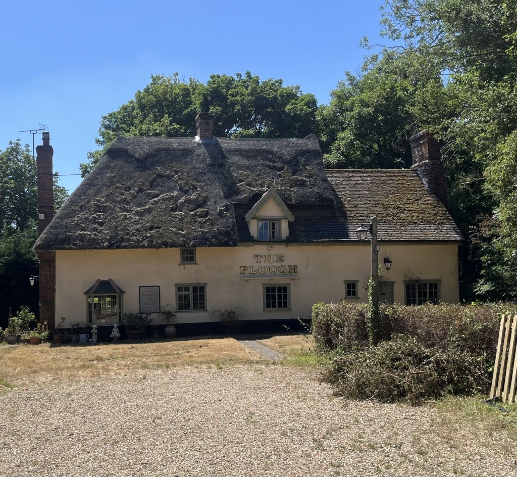
With a very small window of opportunity I made a last minute, value for money, two-night booking at a pub come hotel in Newbury. I won’t name it because it was pretty good to be fair, but my need for sleep was rudely interrupted on both nights, and I came away less equipped for my on-going commitments than I had been at the start. Shucks!
I chose Newbury, a small town just south of the M4 corridor between Reading and Swindon because it was near to Walbury Hill (and Slough – but that’s a future post), sufficiently close to where I had come from and where I needed to be on the Tuesday, and because, surprisingly I had never been there before. Going to somewhere I have never been before has been one of the secondary objectives of the County tops endeavour.
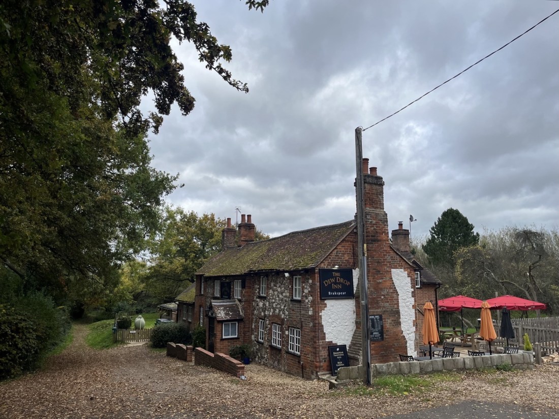
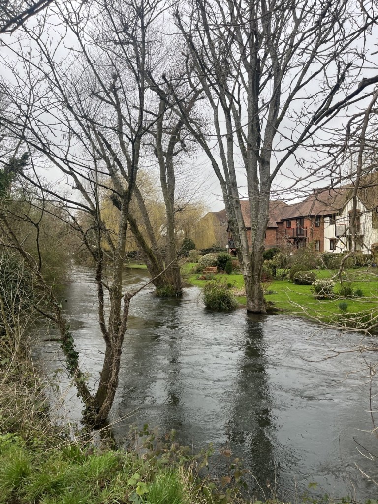
Arriving in Newbury early evening I had time to grab some food and relax over a couple of beers in local pubs. The first, The Lock, Stock and Barrel, located by the side of the river Kennett, was great, and the riverside terrace would be a must do in warmer weather. As it was, the river (a tributary of the Thames, and probably not much to look at most of the time) was a raging torrent, just inches from breaching the pubs defences. I asked a local couple if they had seen it so high before. The answer was a definite NO. The second pub, which will remain nameless, was shocking. Arsenal had beaten Spurs at the Lane 4 – 1. I expected Spurs to lose, and don’t begrudge Arsenal, but the boys were still pretty hopeless.
I slept like a log, until at around 5am, when, with a monumental crashing sound, the bottle recycling team turned up to remove the pubs Friday and Saturday empties. Wide awake for a while until asleep again. At 6.30am an almost identical noise announced someone from the pub emptying Sunday’s empties into the recycling bin that had just been emptied a couple of hours earlier. Again, wide awake until sometime on. I know this for sure because I woke again an hour later when the sound of beer kegs being dropped from the back of the dray (a lorry that carries barrels of beer), was pretty much the final straw. I think I counted about 20 metal on padded concrete interactions before it eventually buggered off.
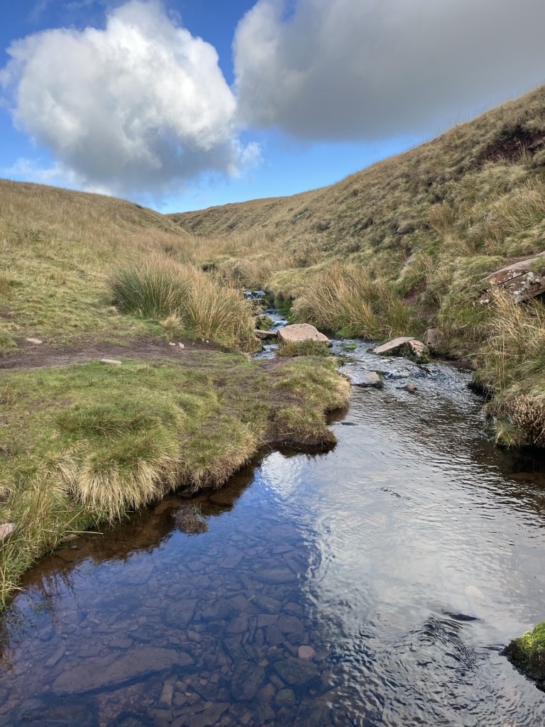
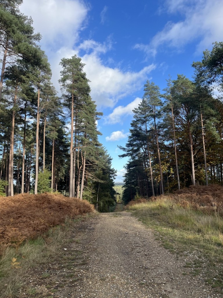
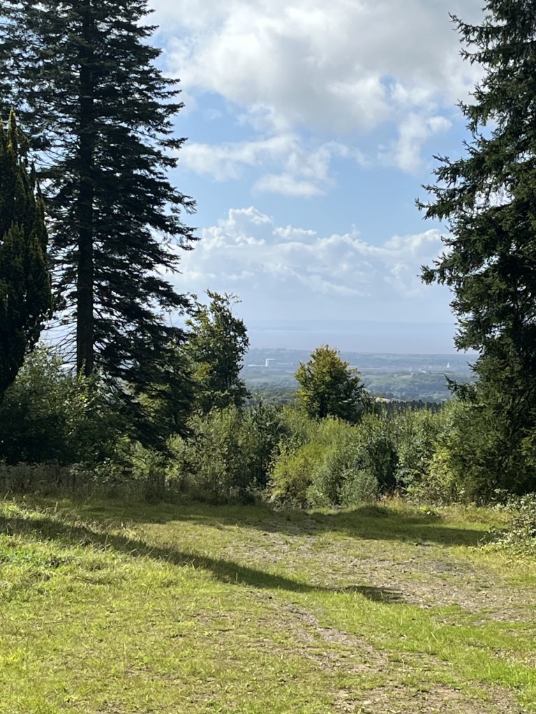
Having been up with the larks, metaphorically, on three occasions, I gave up the fight. I had a task to complete after all. Before that I strolled into the town centre and then along the Kennet and associated canal. And very pleasant it was too, although for people living nearby, they must live in a state of high anxiety for half the year.
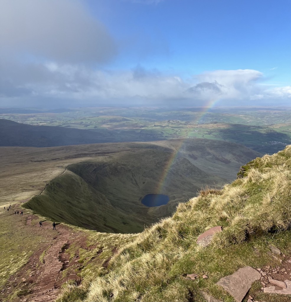
Where does all the water go?
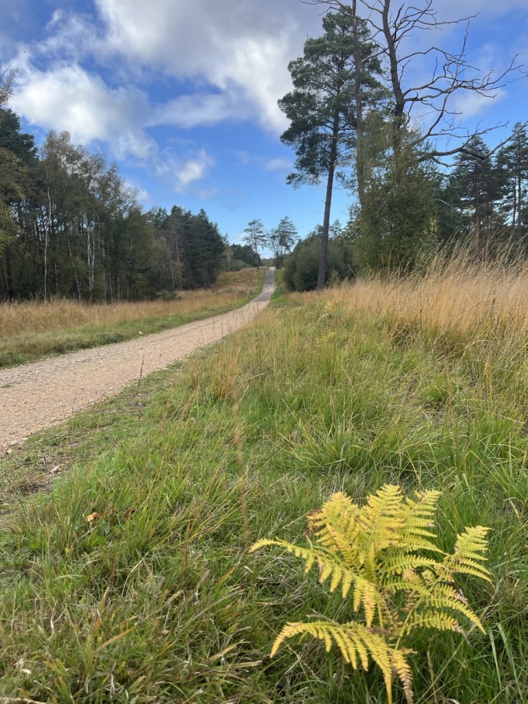
I drove out towards the southwest, noticing that many of the dense hedges were well over two meters wide – something I haven’t noticed elsewhere.* Not a long journey but made longer by taking a wrong turn and inadvertently arriving at Ashmansworth, where a year or so ago I had stopped briefly to get my bearings before finding Pilot Hill, the highest point in Hampshire (see https://elcolmado57.co.uk/2025/04/12/cresting-the-county-hampshire/). I took some bearings and then made my way along the narrow but traffic free lanes to Faccombe, where I stopped to take some bearings. Faccombe boasted a handful of very large houses, a church and a big pub called the Jack Russell, which for some reason looked a bit out of place. I stopped in the carpark of the Jack Russell (to get bearings) and considered calling in for a coffee. However, being surrounded by an array of high spec 4 by 4’s and SUV’s (are these the same things?), all of them looming over my little Ford, I chose to pass on through, aware that if anyone were to ask me my views on fox hunting I’d probably be lucky to get away with just a slashed tyre. Instead, I took a short stroll to the village pond, then took a photo of a swath of snowdrops, with daffodils above.
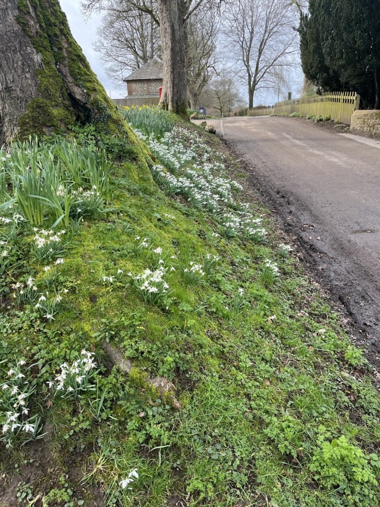
The lanes were awash with snowdrops, and I am pretty sure the daffodils were out far too soon
The road continued north. I noticed to my right a view across a valley towards Pilot Hill.
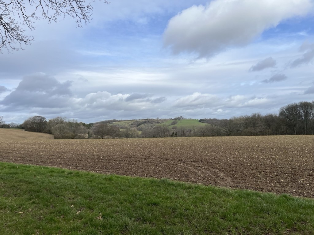
Pilot Hill – a new perspective.
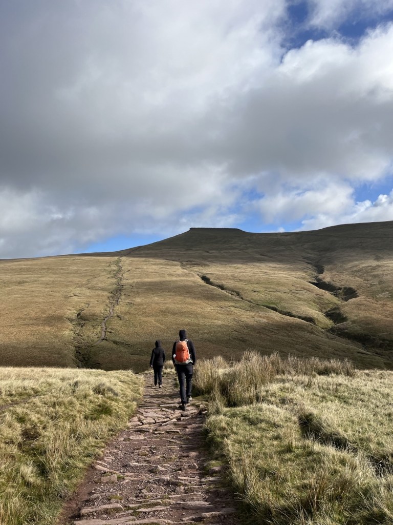
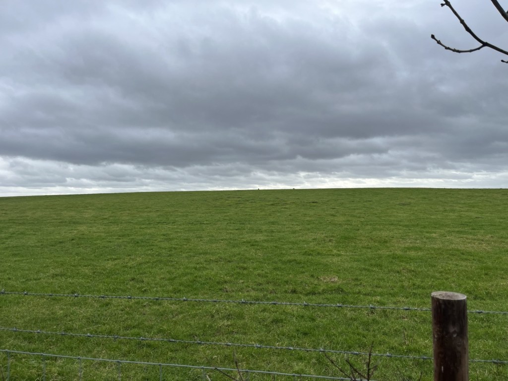
I took some more bearings and shortly afterwards arrived at a small unmarked muddy carpark where I put on my boots and stepped forth.
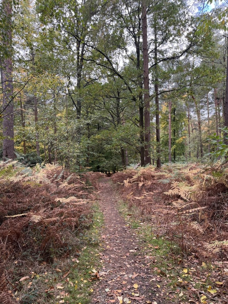
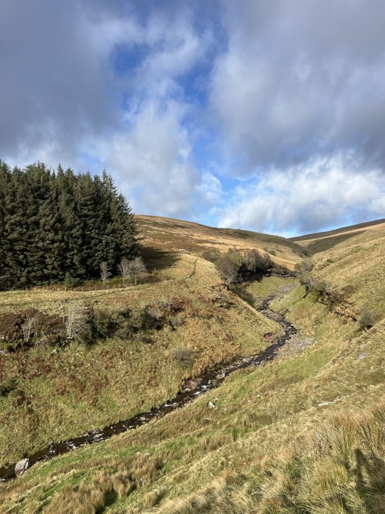
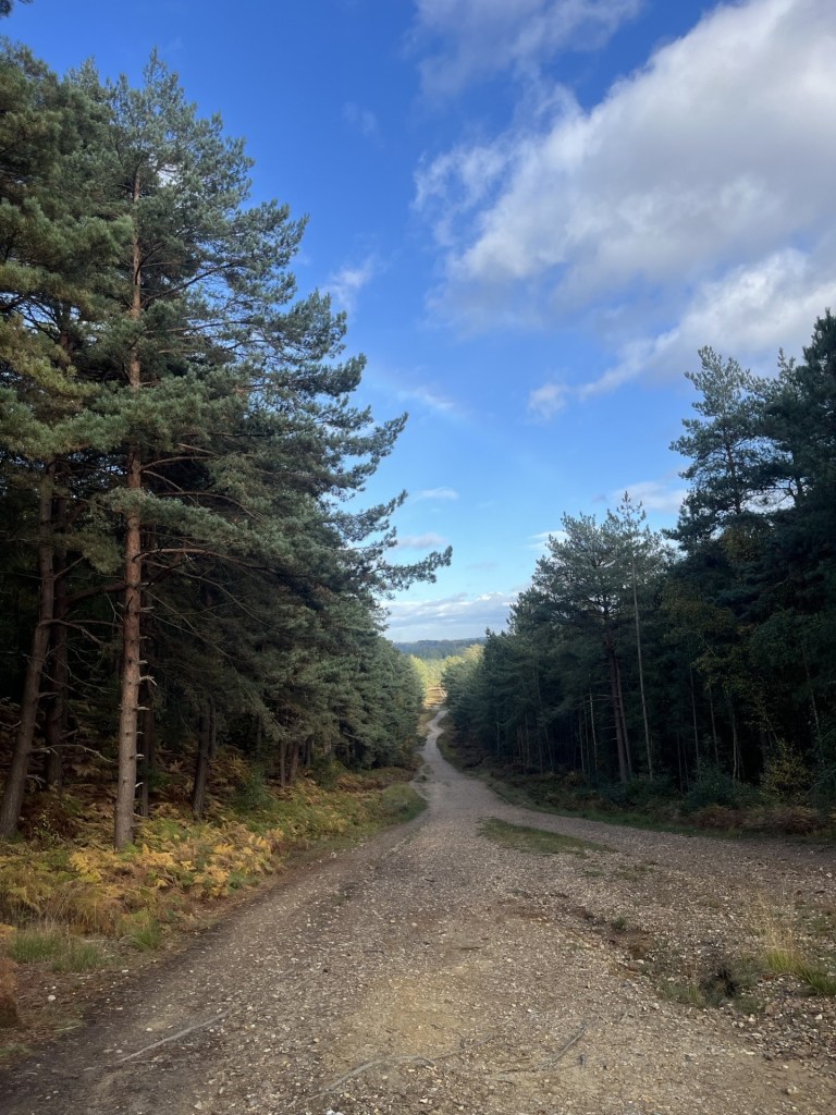
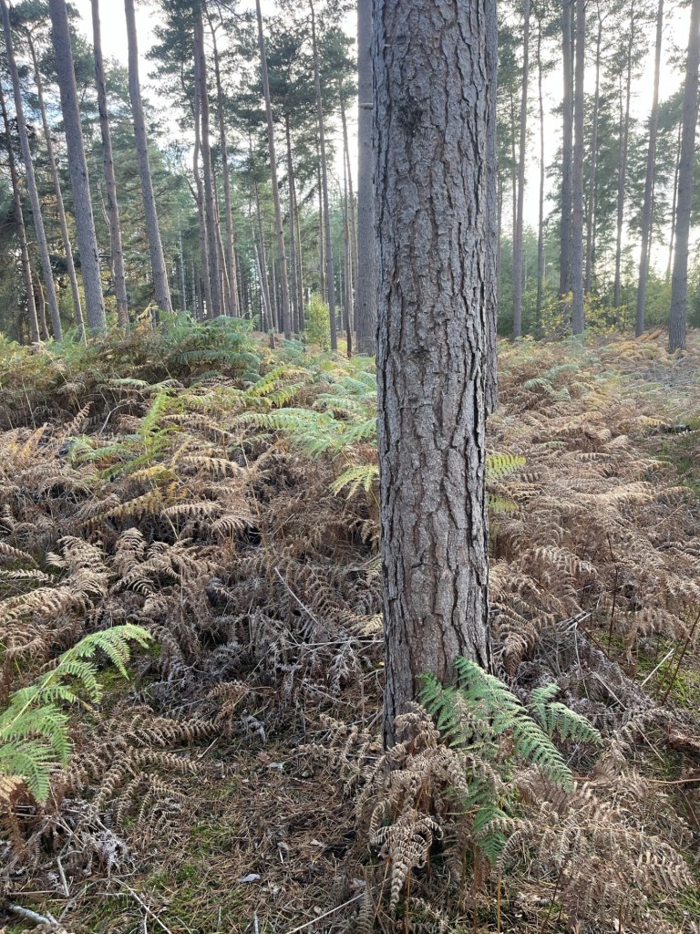
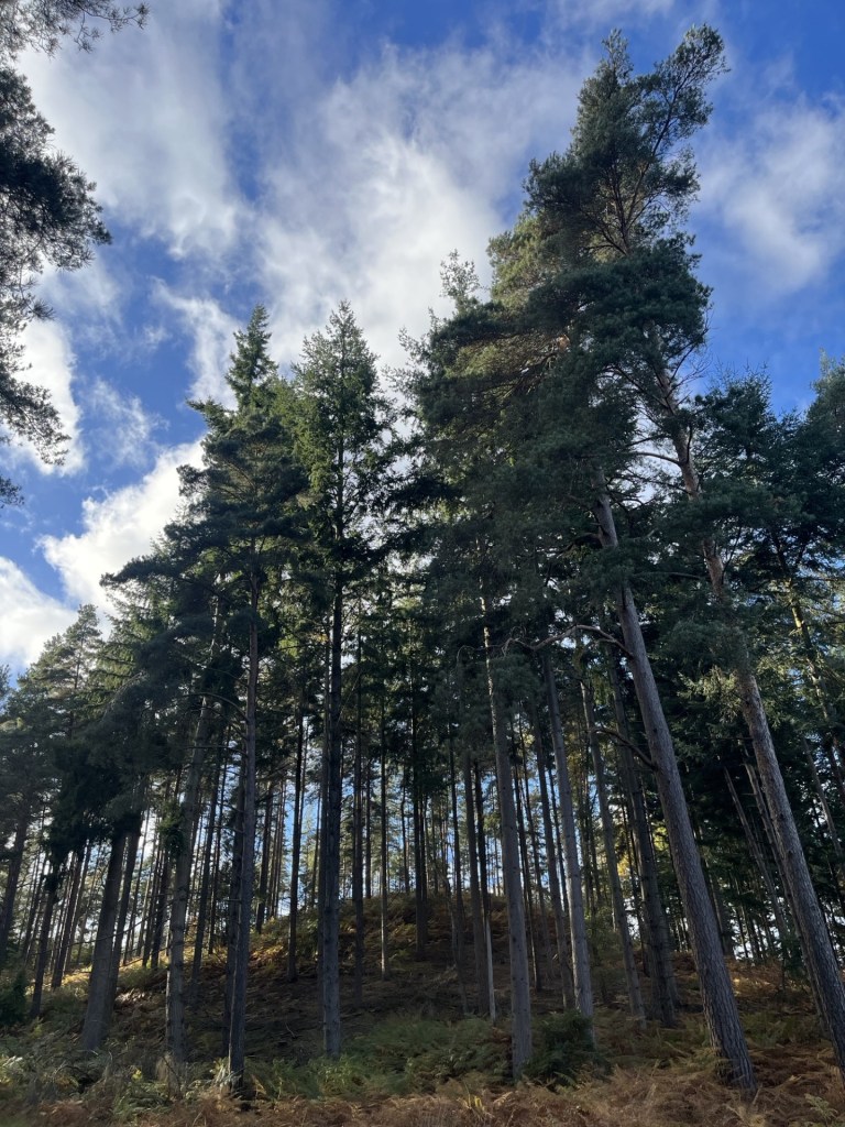
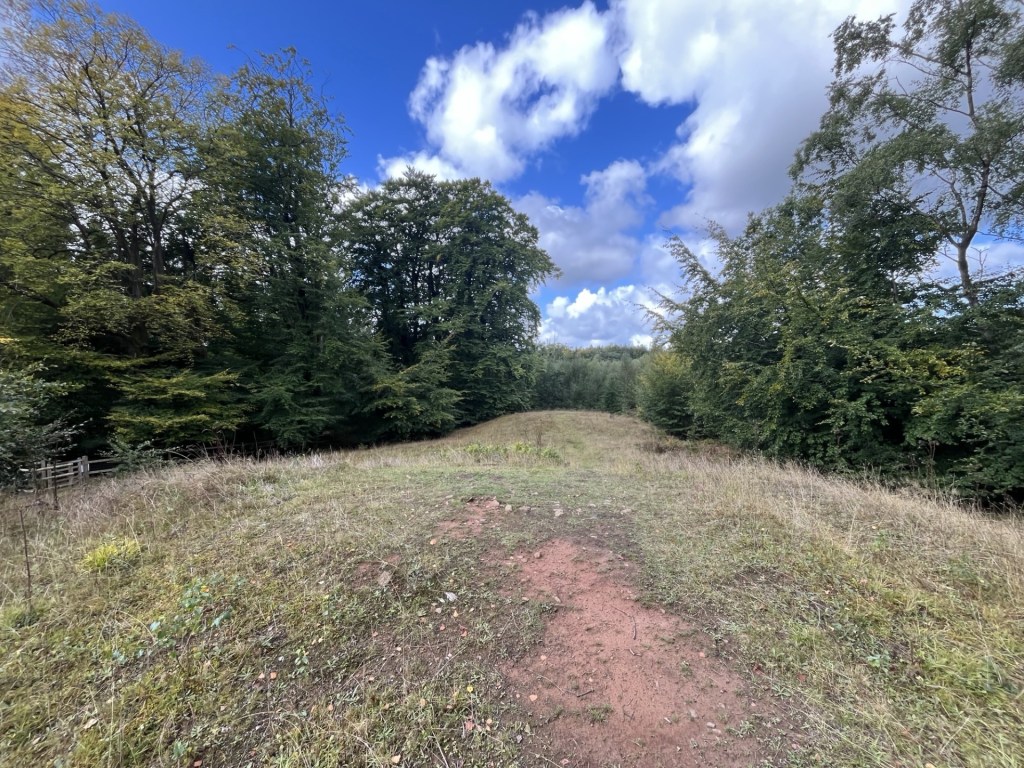
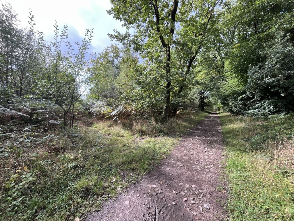
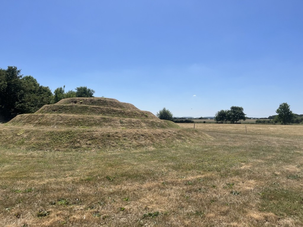
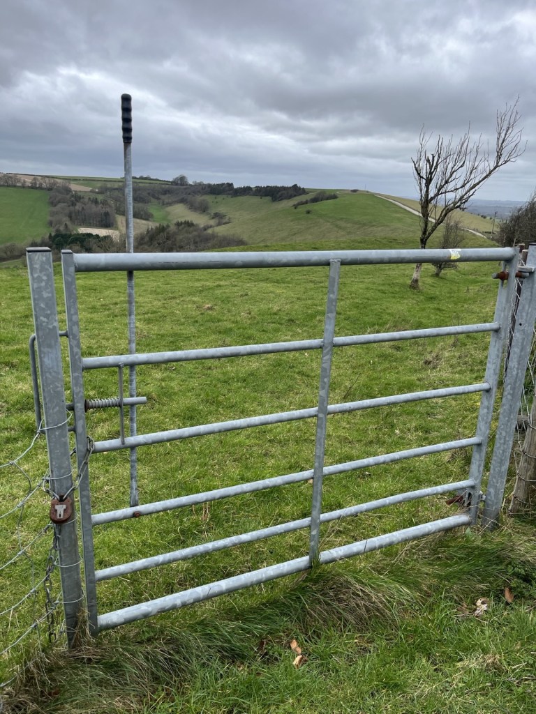
A rutted chalk track took me northwest. It felt like it would rain at any minute, but it didn’t, which was a relief. The hill boasts an Iron Age camp, but the evidence on the ground was limited, with just a few mounds indicating the structure. After half a mile, with a field to my left that contained the summit of Walbury Hill, I came to a large metal gate. I had read that access to the summit, which was on private land, could be gained at this point. Judging by the padlock and a sign that emphasised the private property, no public access angle, I figured there must be another access point further along.
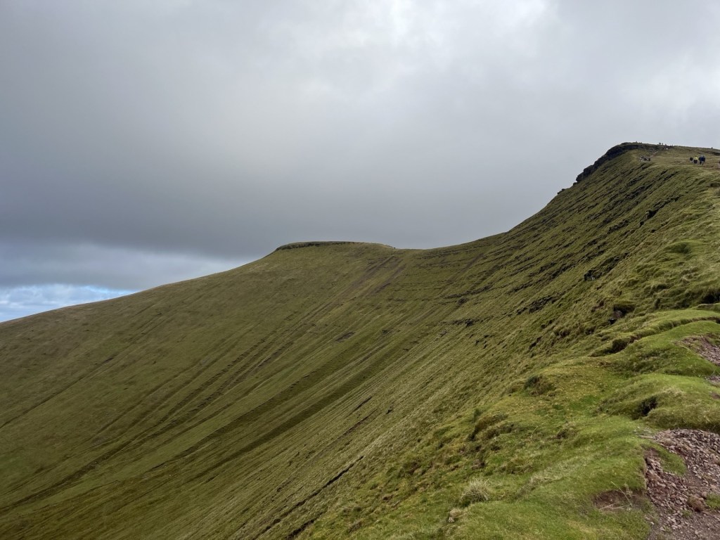
Towards the summit, and a hint at the top of the trig point.
I carried on along the track, now losing elevation. Another 200 meters or so on another large gate, but sitting next to it a pedestrian gate, with all the hallmarks of hiking legitimacy. Except, again the private property sign and a rusty padlock that said it all.
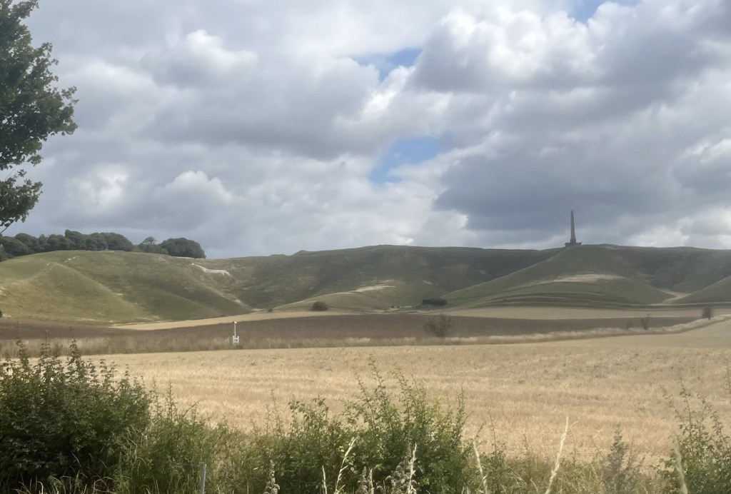
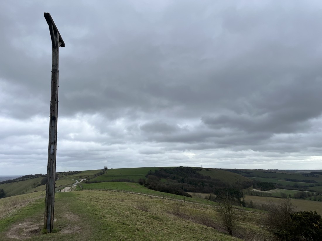
The rusty padlock, an assertion of power and ownership? Combe Gibbet on the horizon
I was getting the message. At some point, maybe even still, the land was/is owned by the Astor Family. I couldn’t be bothered to do the research, but I knew that they had/still are, very, very rich. Original oligarch templates, I guess. Oh well, not much I could do about that, but to block access to the highest point in the whole of the southeast of England felt mean and petty. Maybe I had just missed a trick and somewhere, somewhere, there was a legitimate route (I later re-read the on-line blurb about Walbury Hill and realised that I had misread the bit about access from the main track – there was none).
The walk had been short and in a desperate need to keep stretching my legs (the last few weeks having largely consisted of sitting behind a steering wheel and watching the rain whilst stuck in traffic) I carried on along the track, across a minor road that fell away down the scarp slope of the chalk and towards the settlement of Inkpen. The track, part of the Wayfarers Way, an old drover’s route, headed up the ridge and to another high point. I couldn’t miss it. It had an enormous gibbet to mark the spot.

Combe Gibbet. Just so you get the message.
In 1676 George Broomham and Dorothy Newman had the unfortunate experience of having their mercifully dead bodies hoisted up and left to hang from the cross beam so that everyone could see what happened to murderers. So far, fair enough, given the nature of crime and justice at that time, except the only witness was “Mad Thomas” (no further details available). I make no further comment other than I’m pretty sure evidential rules have changed over time, and probably for the best (even though there are some people now emerging into the light who would be quite happy to turn the clock back).
I set off back the way I came, crossing over the road and passing between more substantial Iron Age ditches, workings, ramparts, whatever they may have been. The extent of the camp/fort must have been enormous, and given it was subsequently bisected by the later drover’s route, presumably served as a large enclosure for cattle and sheep – although that’s just a hunch.
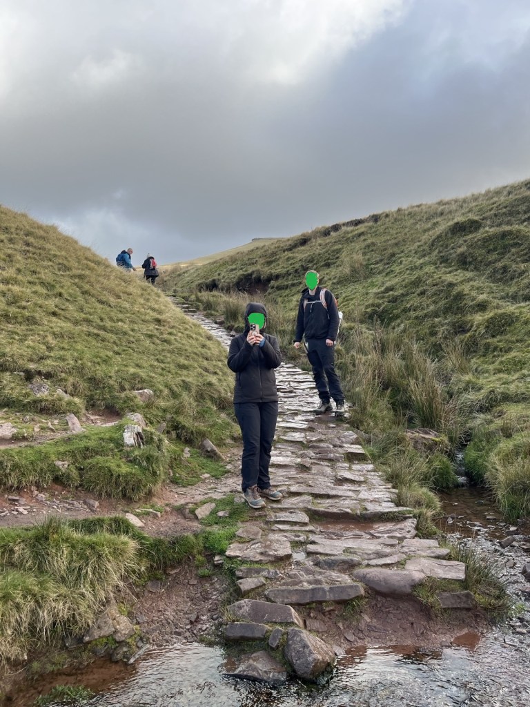
Back past the padlocked pedestrian gate and eventually the larger locked gate, situated within striking distance of the summit. I’d already pretty much made up my mind, and having a quick look around to see that the coast was clear, I clambered over the gate and walked directly south across the pasture field. The clear outlines of foot traffic indicated that others had passed this way before. The topography was plateau-like, and I figured that I wasn’t going to be attracting attention.
The day before, in the now febrile atmosphere that is the Divided States of America, a young man, carrying a shotgun and some canisters, and one assumes not in his right mind (I have no idea), somehow managed to get into the grounds of Mar-a-Lago. With sad inevitability he was shot and killed by security. It all feels relentless and unsolvable.
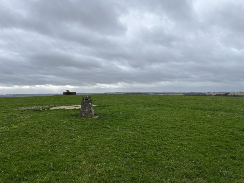
I tried to keep a low profile as I approached the top
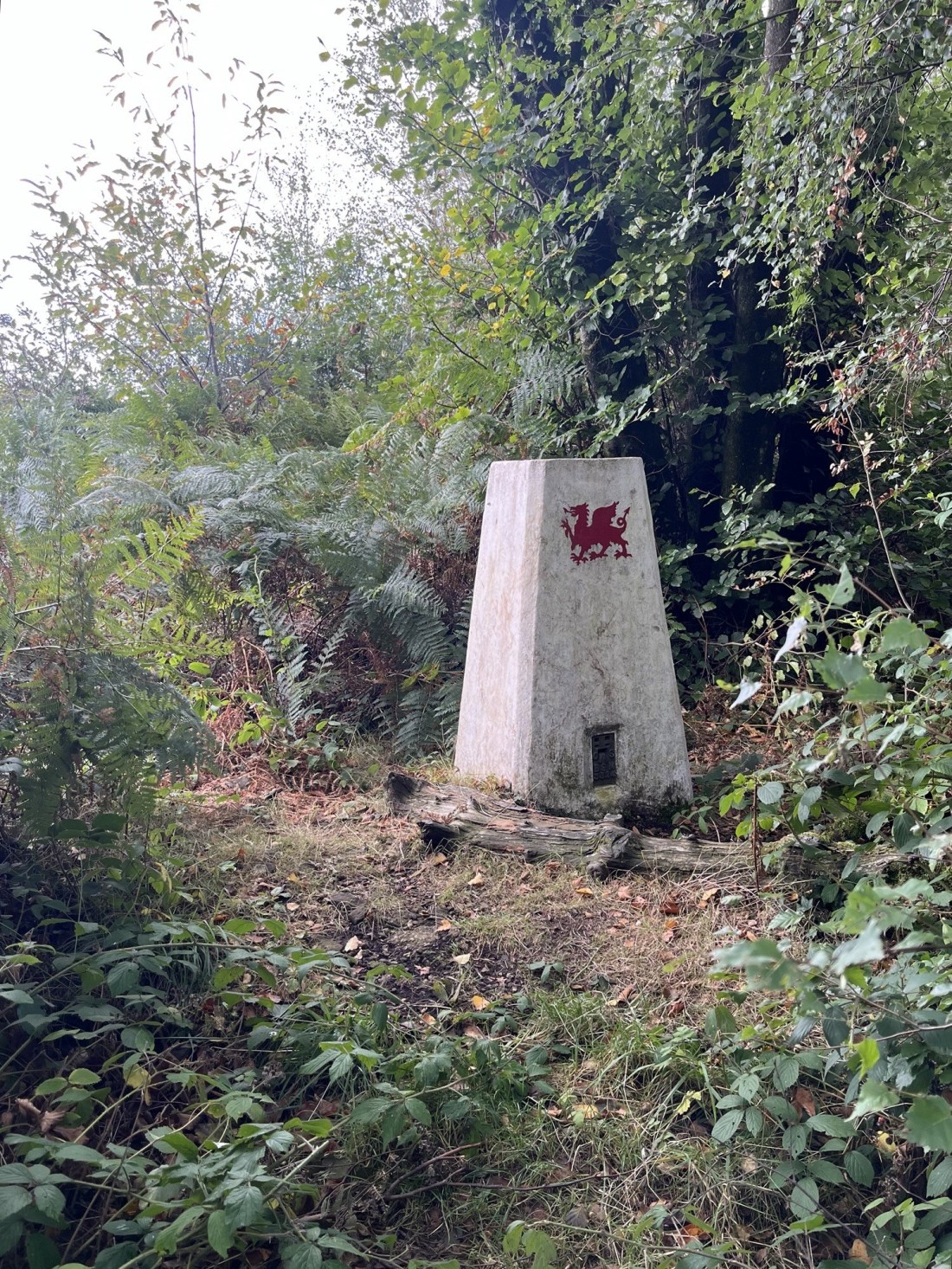
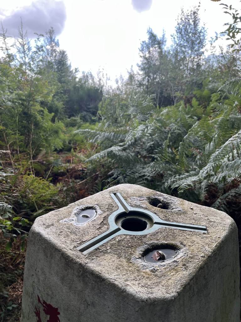
After about 200 meters I was at the trig point. Someone had placed a plastic wreath on top. I struggled to understand how it hadn’t blown away in the wind, but the spot had obviously meant something to someone. A metal plaque attached to the concrete structure (not seen on trig points I have previously visited) informed that the monument formed part of the Ordnance Survey National GPS Network and that it was an offence to damage it. Which seemed to suggest that there was some sort of signalling gadget embedded in the structure. Surely not! In any event the number 11798 is listed as Inkpen on my latest on-line find – the Trig Pillar Map. Life just continues to get better.
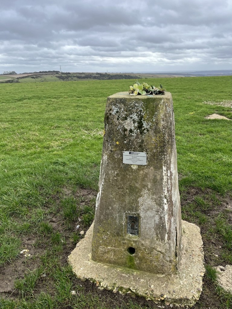
Please don’t vandalise this gift from a bygone age. It’s older than me!!
Next to the trip point was a small flat area of old concrete that served no obvious purpose. Except, on reading up on the site a bit later, back when there were only a handful of satellites (about two years ago I think, given the hundreds that Elon now fires up there every other day), live broadcasting of the horse racing at Newbury was made possible by men (I’m just guessing) in mustard coloured coats, pipe smoking and wearing heavy rimmed glasses driving an enormous signal mast to this point in order to transmit black and white, and then colour, images of the action to daytime television viewers and the punters in the bookies. On a windy wet day in winter, they must have been over the moon to have got the gig. There’s no need for it now, and from what I can see racing on daytime TV is not such a big thing. Anyway, it was a nice image to take away with me.
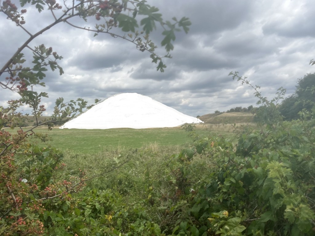
Further to the south was another interesting looking structure. I should say that it was probably only interesting to a niche audience, but I’m happy to count myself as part of it. On the basis that so far, no pellets had whizzed past my ears, I cautiously walked on. A low circular red brick building, capped off by concrete and with a pipe for ventilation peeking out the top. It could only have been a reservoir but had all the attributes of a WW2 pill box, except it lacked slit loopholes.
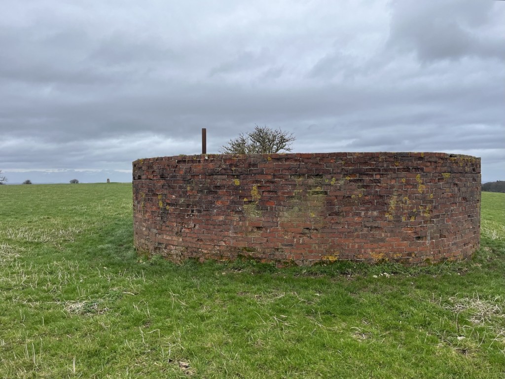
Note the traditional running pattern in the brickwork. No fancy Flemish bond needed here.
Back at the trig point I took a quick look around. To the east I could make out Pilot Hill. It’s said that Walbury Hill is the furthest point to be seen from the top of the Shard in central London (approximately 50 miles).** That seems highly improbable to me, although to be fair on the only occasion I went to the top of the Shard, the snowstorm was so bad that the furthest point seen was the roof of London Bridge station directly below.
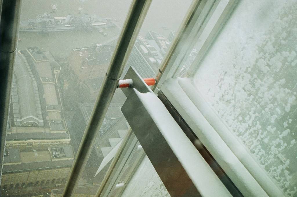
2013 – I know, the Shardenfreude is not lost on me. The further point observed was the conning tower on the Belfast
It was time to hop back over the gate and make my getaway to the car. The carpark was still as muddy as it had been an hour earlier. A couple of guys with a farm dog on a quad bike, entering the nearby field, eyed me suspiciously. Maybe they’d had a call to intercept a trespasser. Ah well. On the subject of trespass, or more precisely, why it is that so much of England is inaccessible, The Book of Trespass – Crossing the Lines that Divide Us, by Nick Hayes, is an essential read.
I can’t tell you about how I slept that night back in the room. That’s because, thanks to the two drunken, off their cup’s young men in the adjacent room, I didn’t get any.
The quest continues.
* In answer to the Google search “Why are hedges in Berkshire so wide?” There is none.
** On a related note, my daughters partner J, recently passed me a copy of the December 2025 edition of TRAIL – (The UK’s best-selling hillwalking magazine). Initially I flicked through it but then stopped and went back to the start. The articles were well written and interesting. An article titled the Long Shot, by Philip Thomas, really grabbed my attention. He explained that hypothetically, at 144 miles, the longest view in the UK was from the summit of Merrick, the highest point in Dumfries and Galloway, and the top of Yr Wyddfa (Snowdon), which we know is the highest point in Gwynedd (and Wales). It’s technically the longest view but for all sorts of atmospheric and technical reasons, it’s never actually been seen or more importantly photographed. The longest view that has been photographed is between a point in the Pyrenees and a point in the French Alps (275 miles).
A few pages on from this fascinating article (believe me), was another feature called Top of the World (mistitled I fear) which extoled the virtues of the County Tops challenge and listed 10 varied examples, some of which I had done.
Having immersed myself in the publication I decided that come the New Year I would start subscribing. When I mentioned this to J, he frowned and then told me that I was holding in my hand the last edition – ever! What a blow.
In the Long Shot article mentioned above, the author starts by referencing the Who’s 1960’s hit, I Can See for Miles. Nice touch, so why not?