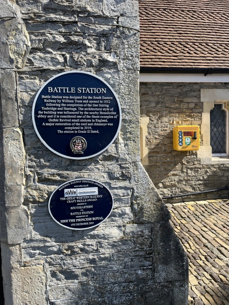
Brown Clee Hill
540 Meters
1771 Feet
21st May 2026
Question: Is it all worth it? Ans: Absolutely
In the middle of October 2020, and with a brief window between lockdowns and restrictions, I grabbed the opportunity and spent a couple of days in Bristol with my daughter and her partner J (I stayed in a hotel!).
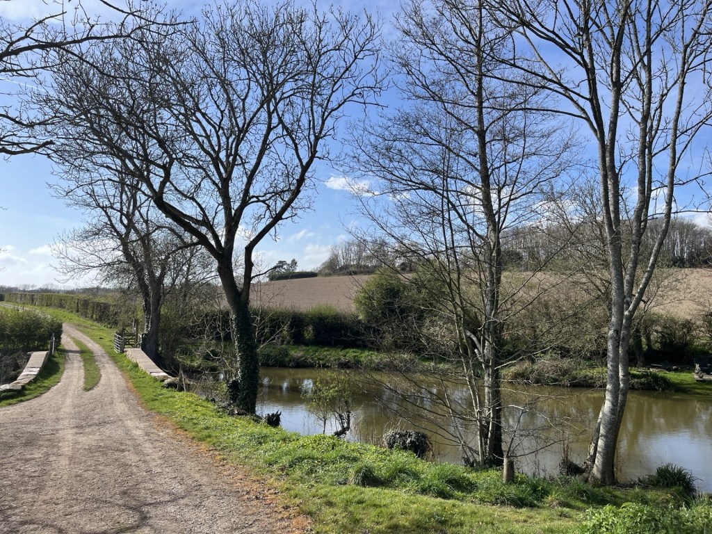
Reluctant to return straight home, with a bag full of masks, I took the opportunity to head up the River Wye and spent a couple of nights in a hotel in Ludlow. I remained cautious about mixing in large groups, though on arrival it turned out it wasn’t an issue in Ludlow, which was largely deserted.
I had a full day to get out and explore an area of England that I knew nothing about. The Long Mynd was on my agenda, but being completely unfamiliar with the range of hills, I decided to try and secure a map to aid my progress.
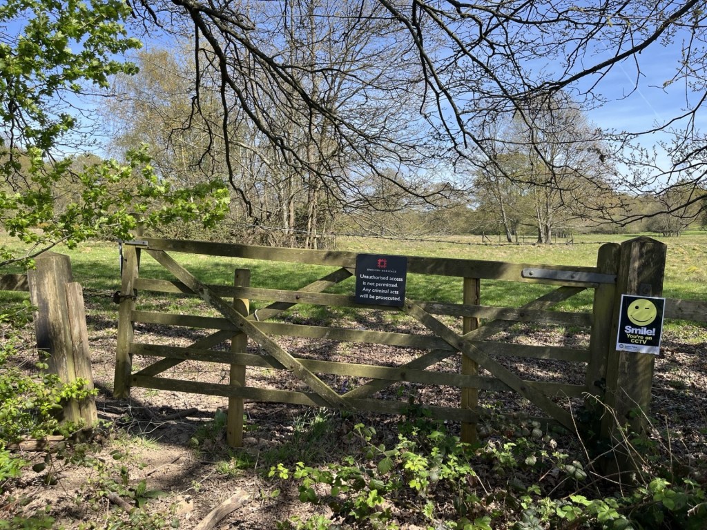
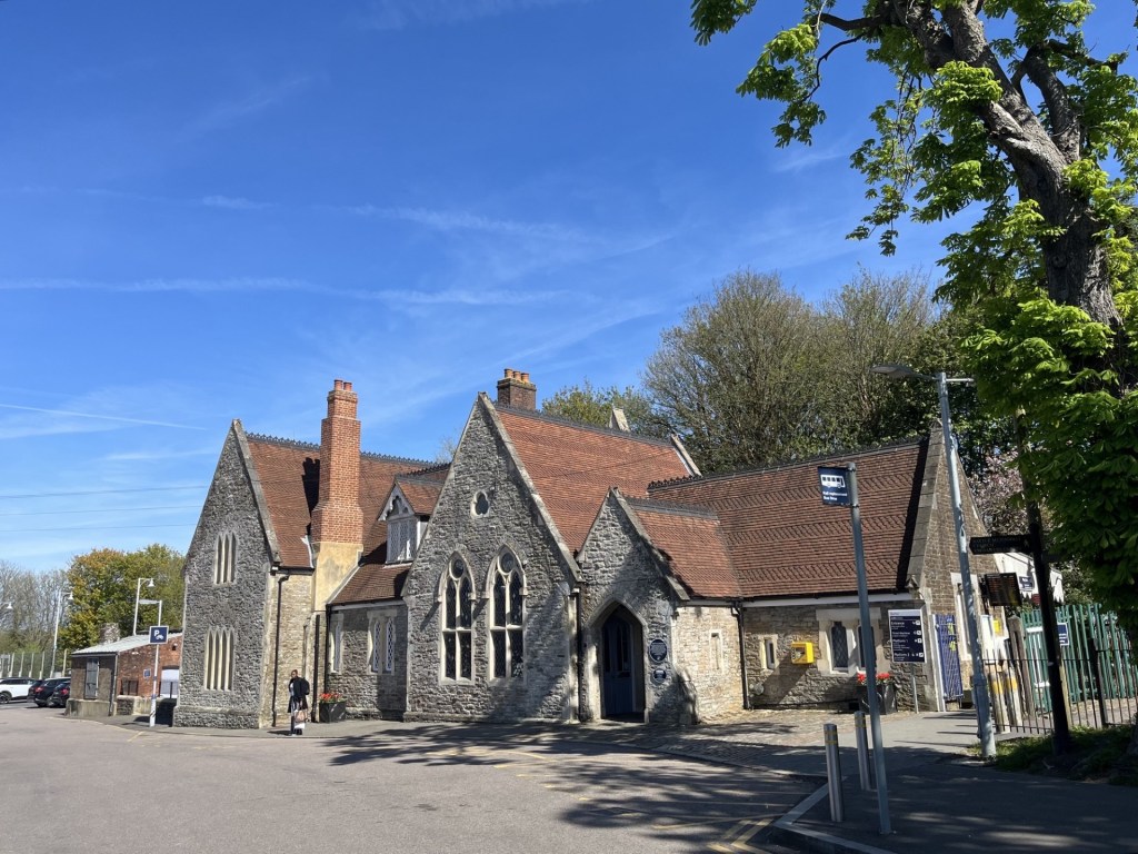
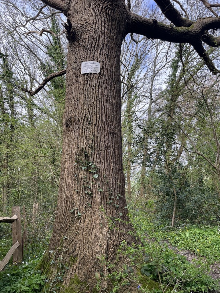
I drove randomly towards the area’s general direction and eventually parked up in Castle Bishop, a small but attractive town in the middle of nowhere, but with a slightly alternative Glastonbury type vibe to it. Not because there were people on the streets wearing sandals and bangles (there were no people full stop), but because a few of the shops, mainly closed, had windows full of crystals.
I found a book shop that was open. Donning a mask, I entered cautiously. Working my way around I found the map section and moments later was walking with the OS Explorer 217 for the Long Mynd area towards the counter, where the owner stood without a mask!!!!
To be fair, it wasn’t in the rules at that period to wear a mask in public, but the general consensus was (unless you were a conspiracy theorist) that whilst it may have helped reduce infection it was also a demonstration of politeness and courtesy. We exchanged pleasantries. Where was I from? East Sussex. I didn’t need to wear a mask in Castle Bishop, he explained, it was so far from anywhere that the virus had hardly bothered them. I said I was glad to hear that. I explained that where I lived, in a large community, but isolated by geography and crap connectivity, the first few months had seen very low transmission until there was a sudden and dramatic upshot that took our town to the top of the charts in just a few days. He chuckled somewhat dismissively. “Don’t worry sir, we have crystals. That’ll be £12.75.”
A few months later the area made it onto the national news. Some of the highest Covid rates in an isolated community with minimal services. There was no crystal miracle cure, except of course the vaccine.
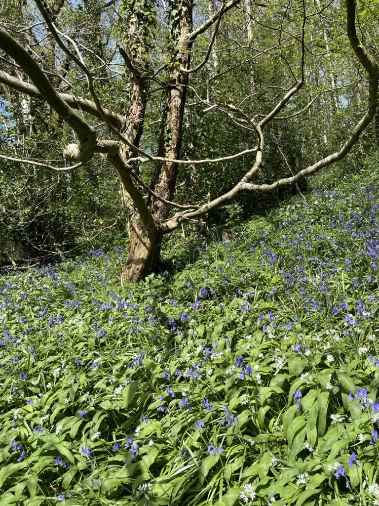
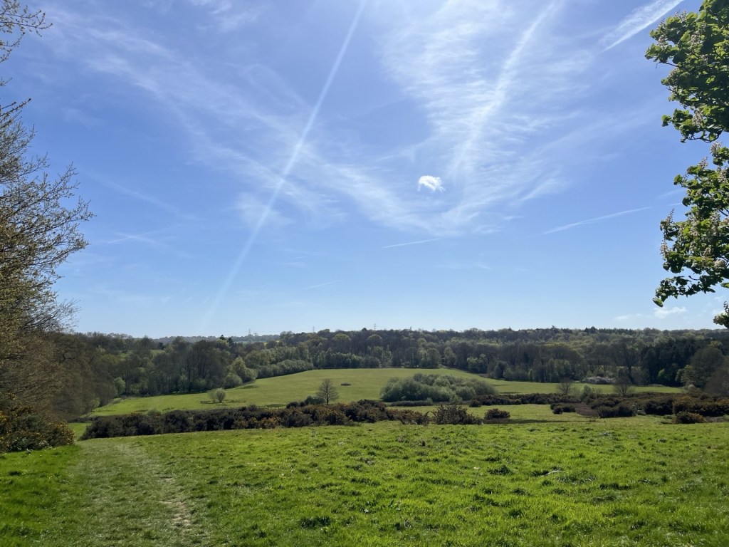
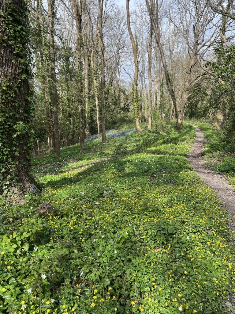
Leaving the shop I drove over to Church Stretton, parked up just out of town for good measure, and then set off up the winding road to the top. Despite being an overcast but dry day I was staggered by the unusual landscape. Upland moorland over a condensed series of what I can only describe as large knolls. A highwayman could have ridden by, being chased by a giant frog in armour, and it might have felt quite normal. I didn’t reach the highest point, but back then it wasn’t a statutory requirement. I headed back down a hillside track that led to a valley, on the way finding a tree with gargoyles for roots, confirming in my mind that I was in an enchanted land.
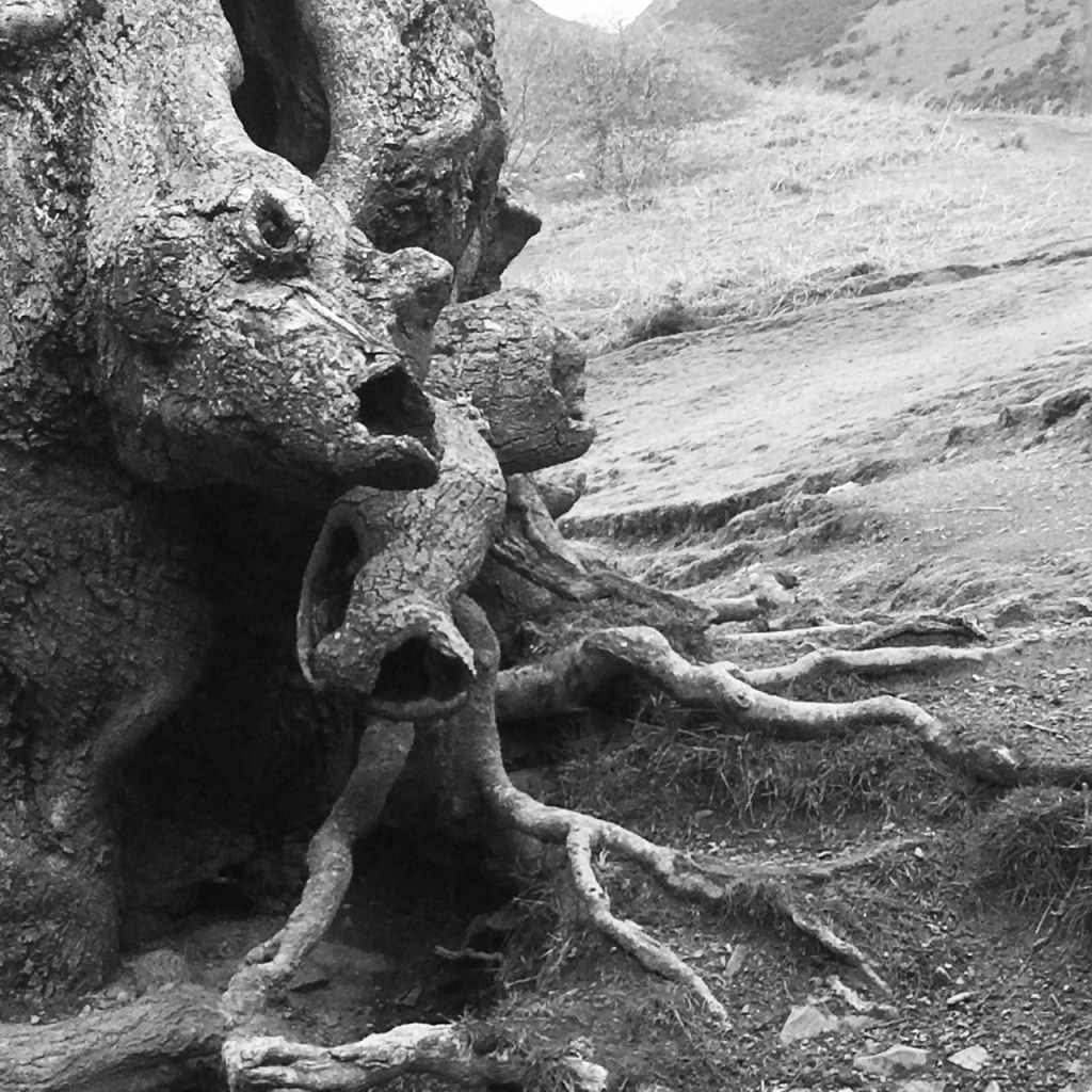
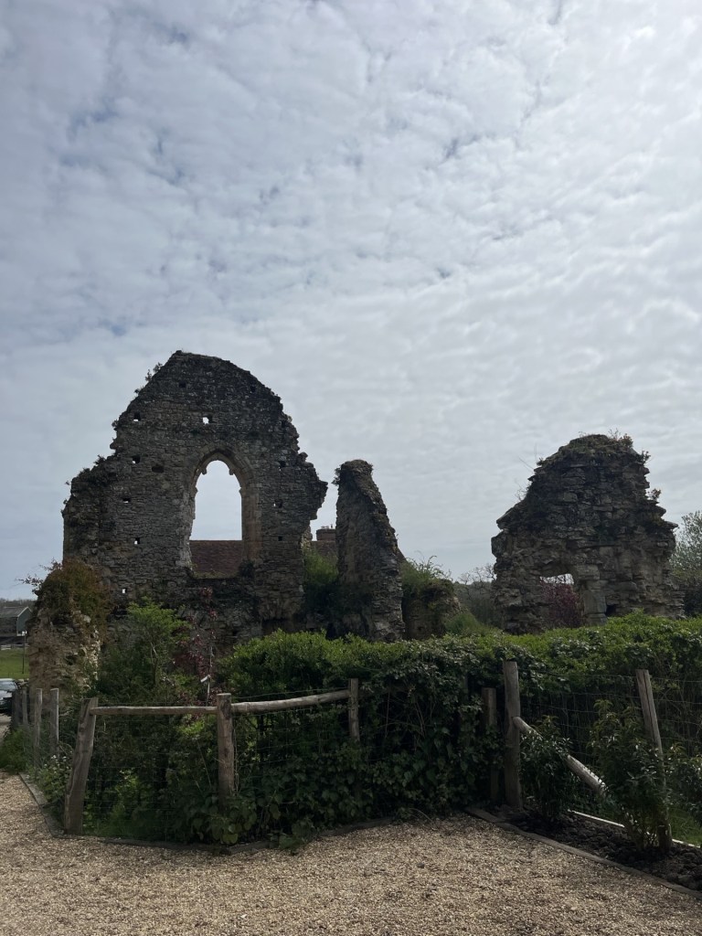
Gothic roots in a land of pestilence
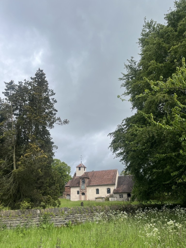
Heading back along a narrow road I came across a woodland café, run I think, by the National Trust. I hesitantly went into the large space with just a handful of visitors and ordered a coffee and cream and jam scone. It was a sign of the times when the multiple component parts of the scone were set out on my tray. The little scone, on its own, came in a sealed cardboard box. Two wrapped butters were accompanied by a small glass jar of strawberry jam. The cream in a sealed tub, and a plastic knife and spoon in plastic wrapping. After some minutes constructing the treat, I was left surrounded by an array of disposable items destined for landfill. I was overwhelmed by a sense of shame and guilt.
But that was then, and this was now. In 2023 I revisited the Long Mynd, after the virus had finally become, like the common cold, a routine hazard. I had somehow avoided the virus’s reach during its heyday, but two years in and it finally caught up with me and smacked me square in the face (a week of mind-numbing headaches and crippling muscle pains). The return, a few months after that humbling time, confirmed to me how special a place it was.
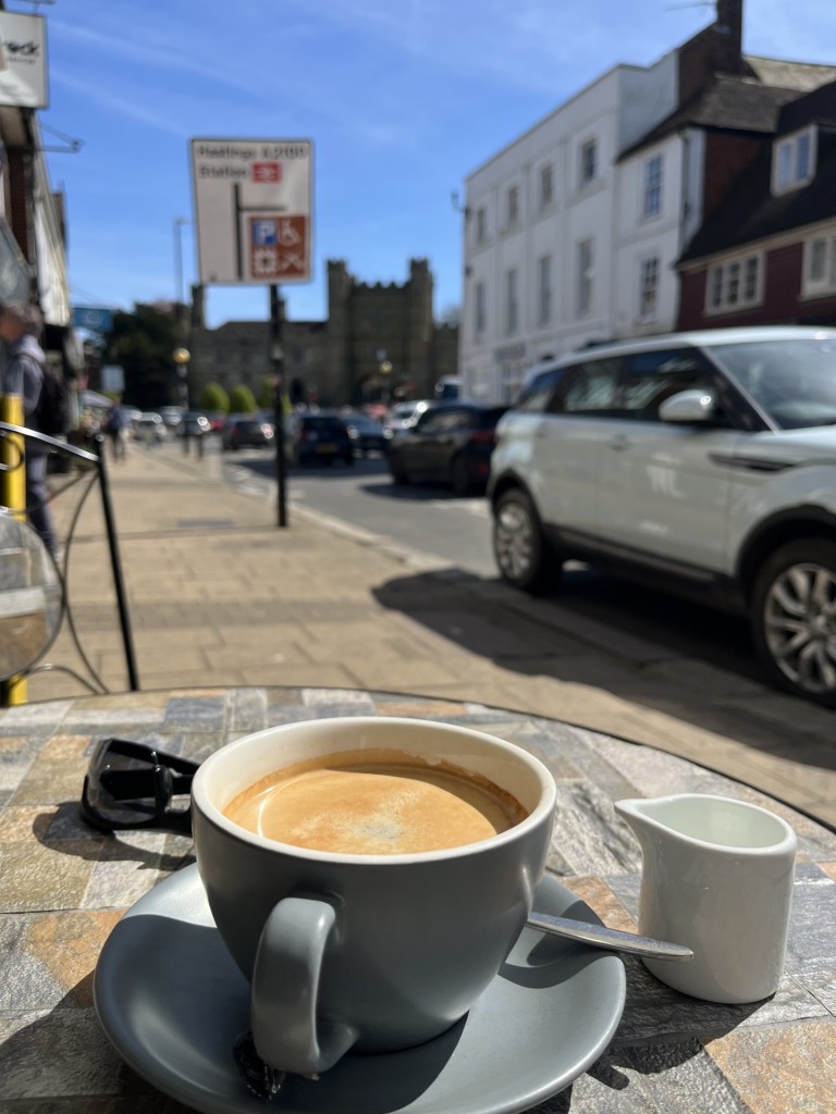
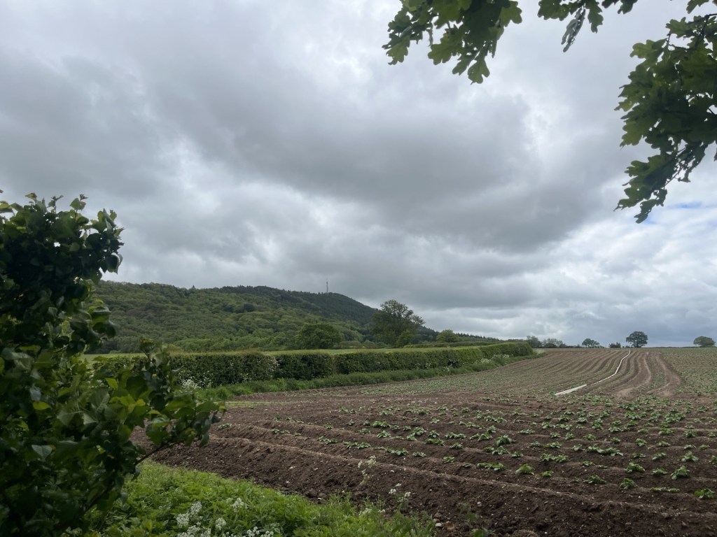
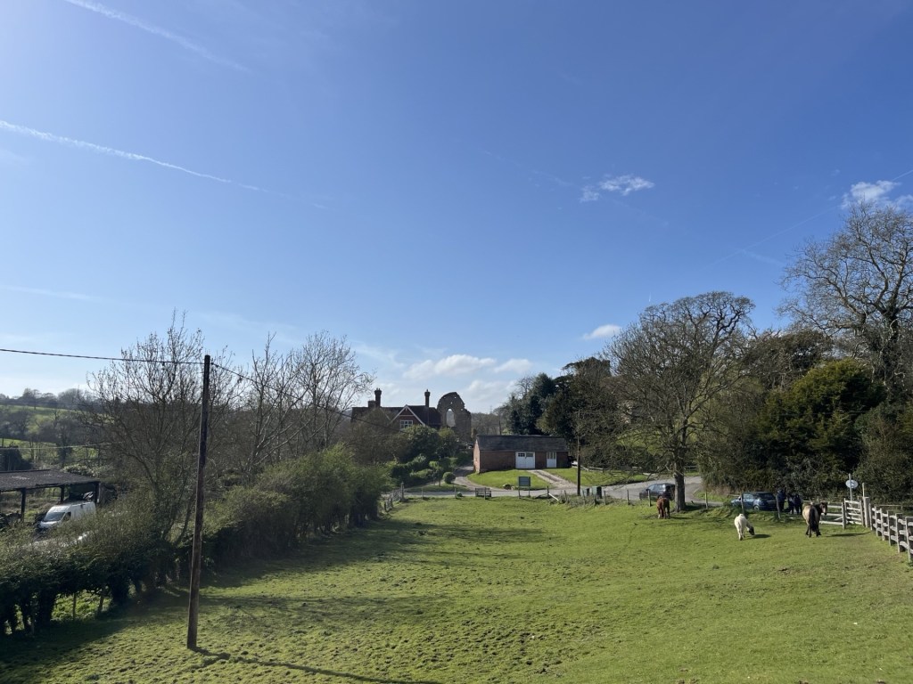
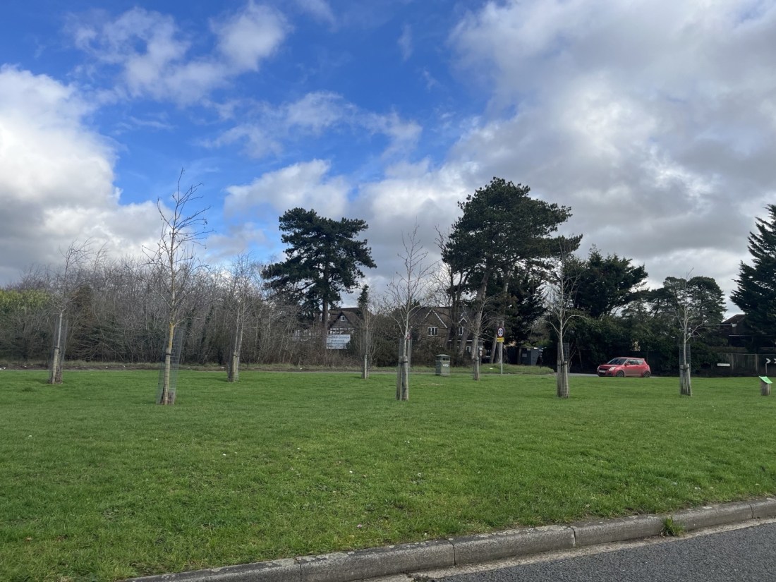
Today I parked up near the town centre, wandered around a bit and then took coffee in a small cafe on the road leading out to the Long Mynd. Opposite a couple of women, Jehovah’s Witnesses, stood at a corner hoping to catch a fish. Nothing seemed to be biting, but I guess it must be a tried and tested technique. I considered whether to have a quick look up the road and towards the hills, but this was just a stop off before heading towards the day’s objective – Brown Clee Hill – the highest point in Shropshire Unitary Authority (surprising really because if you were to have asked me to guess where the highest point in Shropshire was, until recently I would have said, without hesitation, the Long Mynd, surely?).
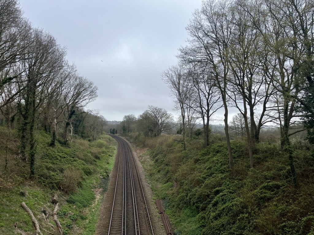
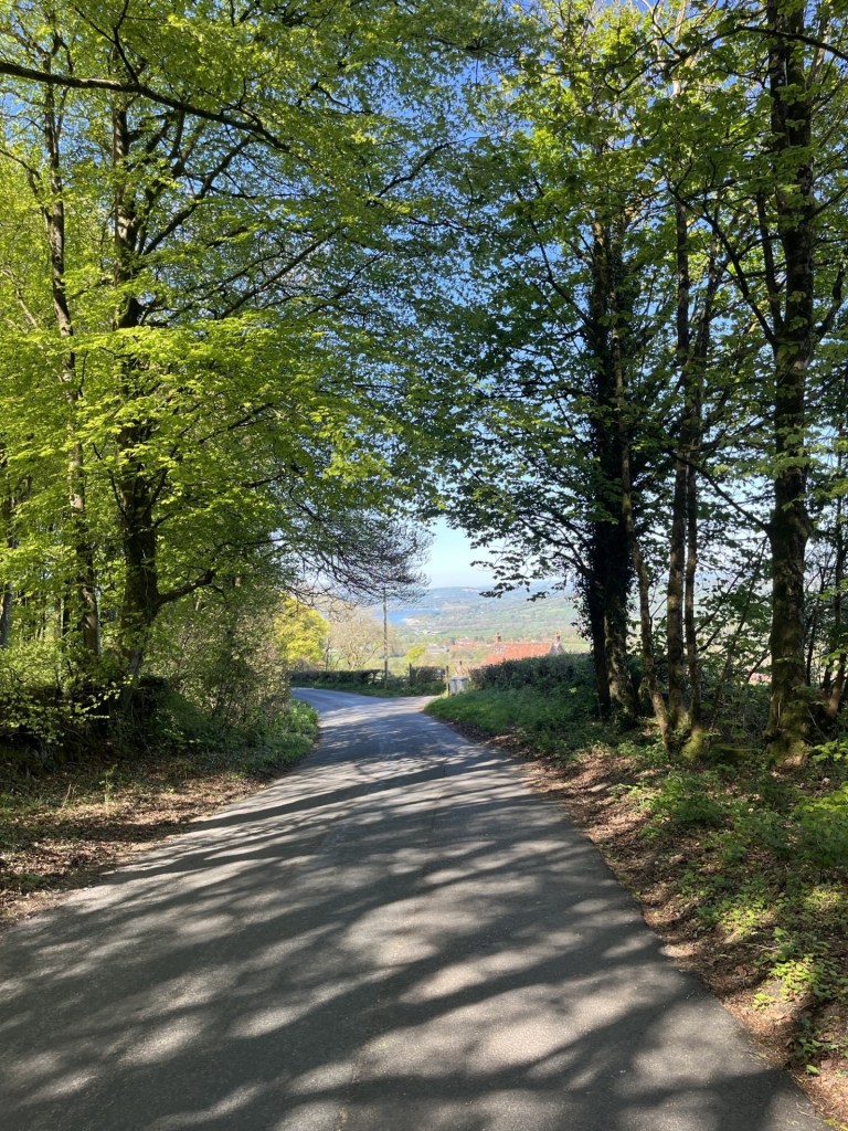
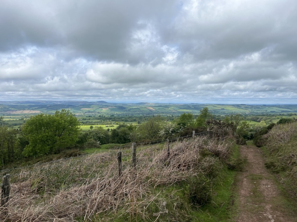
The route east to Brown Clee took me down narrow lanes with isolated settlements and only the occasional oncoming car. Beyond the settlements the roads bore signage that suggested the speed limit was the national limit – 60 miles an hour! This is often the case in rural areas, but, unless your vocation is treating speed limits as a minimum aspiration, feels like a catastrophic blunder. Fortunately, perhaps given my overcautious approach to driving these days, I barely nudged above 20 miles an hour as I wound carefully through the red soiled land. And thank goodness too.
As I rounded a bend in the lane heading towards the tiny hamlet of Tugford, and immediately in front of me, a creature the size of a small fox sat on the road. I have very occasionally seen hares in fields, normally at some distance, but by sheer luck, being this close to an adult was mesmerising. It was huge, and the moment it had worked out that I might be a threat (I had by now stopped), it raised onto its haunches, and with a quick step and a leap was up the verge and away. It was a privileged moment for me.
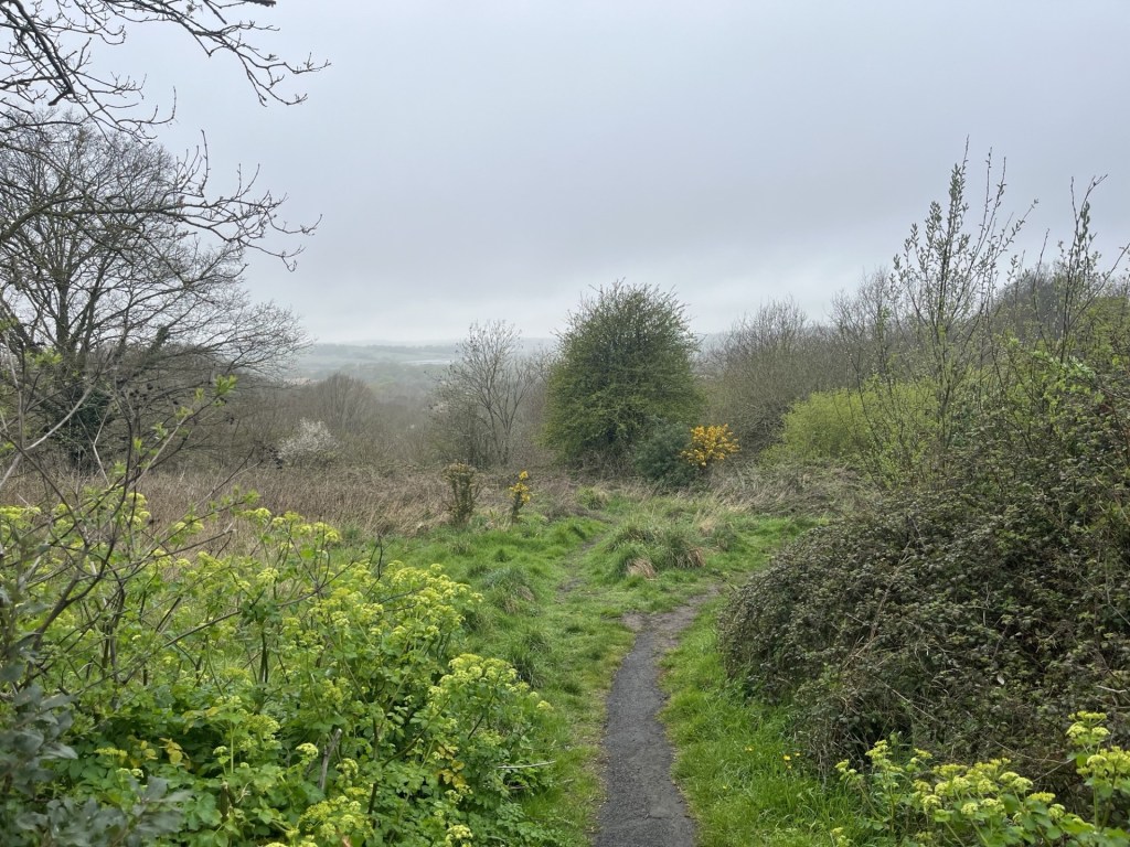
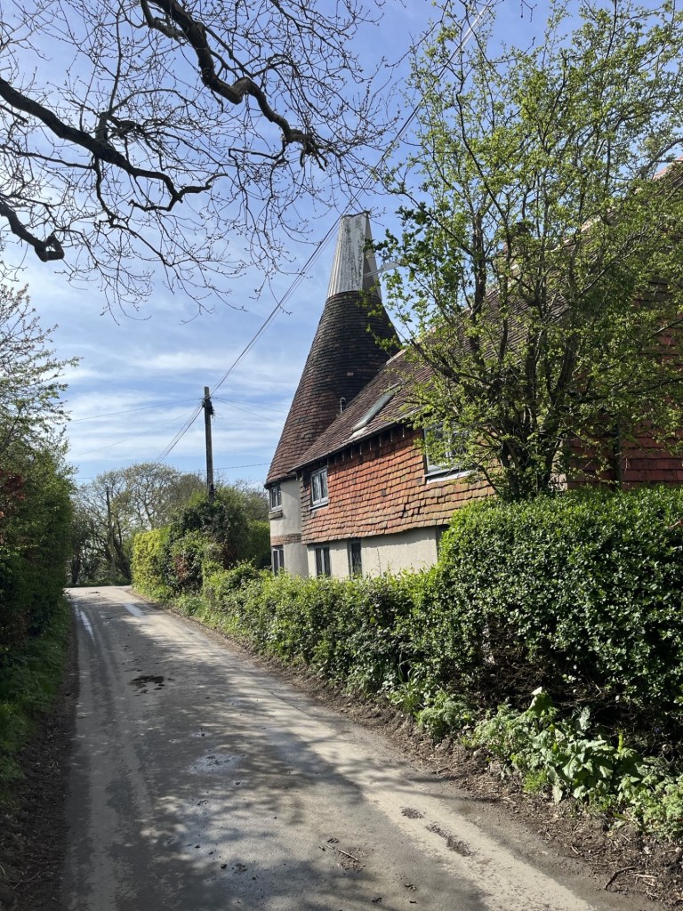
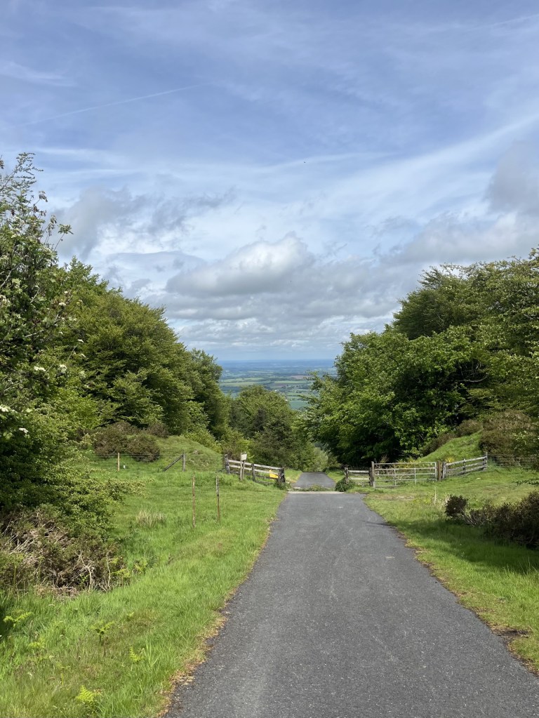
I carried on along Marshgate and reached Abdon, where I turned left and arched around a large field, pulling up at a small parking spot just a few hundred meters below Brown Clee. I left the car and walked the road until it came to a junction, with an old phone box (now a community library) marking the way towards the start of the climb. As you would expect in a location like this, a female roe deer was standing outside the phone box but buzzed off the moment she clocked my presence.
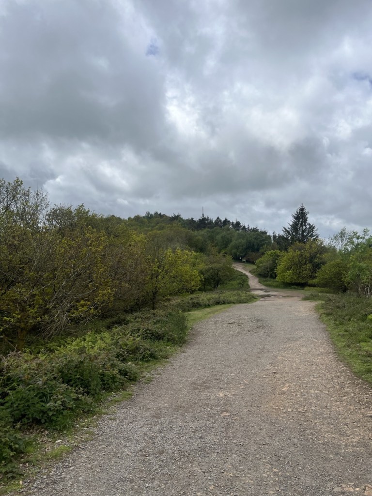
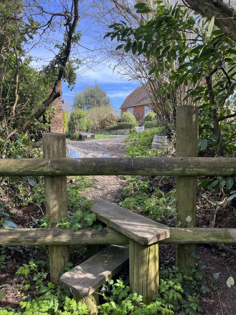
A gate to a field on the left was the obvious entry point. The big footpath sign stated Brown Clee 2min. I had come prepared to spend an hour or so climbing to the top, so to be told that it was just 2min away left me a tad stumped. I remained, and as I write, remain perplexed by the meaning of this sign. I can only assume that it meant that the foot of the hill was a two-minute walk, but that is the sort of information that no one needs. Never mind, these are discombobulating times after all.
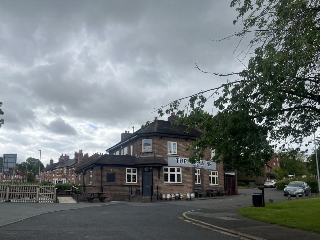
I was still hanging onto a heavy cold that had been draining me of resources for a couple of weeks, but unlike The Wrekin, which I had wheezed up the day before, Brown Clee looked a bit more forgiving, and after all it was only going to take me two minutes.
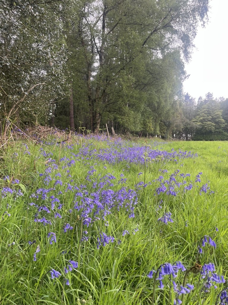
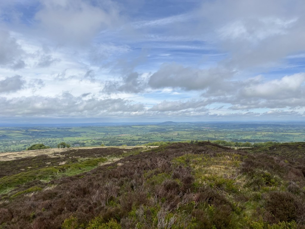
After ten minutes of steady upward progress along a red earthed stony path, I stopped to assess progress and the view.
Eight minutes beyond the two-minute mark
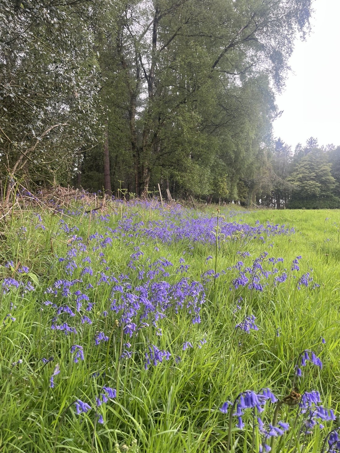
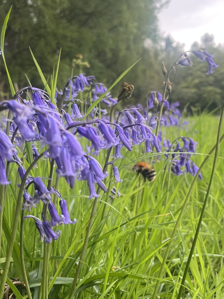
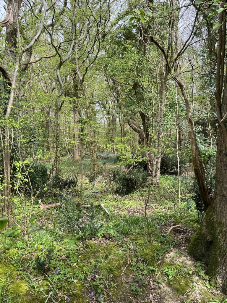
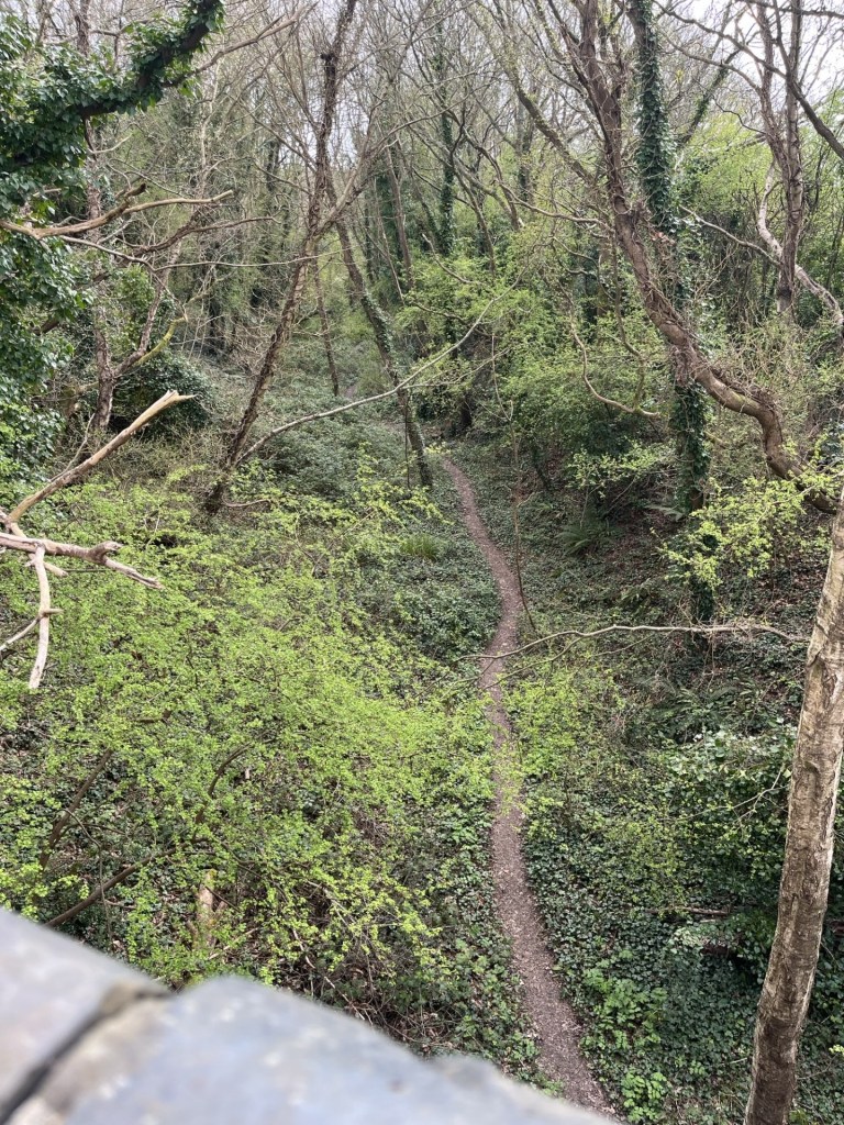
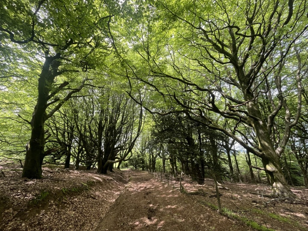
I had been tracking along the side of a field in a south westly direction, and a bit further on another footpath sign (this one didn’t give any indication how far the summit was), pointed north and along the lower slopes of the hill. I chose to take this path, figuring from the map that at some point it would start to zigzag up. As I walked across this relatively benign moorland, I became aware of the constant chatter of birdsong. After a few hundred meters, during which I had gradually gained elevation, a long line of old metal and wooden fenceposts staked a line down from the higher ground, disappearing off towards the foot of the hill. As I approached, I noticed (hearing at first) that every second or third post sported a small songbird of some type – each perched on the top like Nelson on his column and furiously chattering away with unseen chums. My presence didn’t seem to spook them, although of course it could have been my very presence that had them gabbling ten to the dozen. In the bushes and brambles that clung close to these mini watchtower’s groups of small birds, in two’s, threes and fours, darted in and out, then up as one and then away back into the undergrowth. I couldn’t name any of the species though I guessed they were different types of finches. Nightingales and skylarks, they were not, as these more identifiable birds busied themselves instead on and above the open ground beyond the posts. Using the line of the posts as a guide tool, I started to move up the hill. Keeping to a recognisable footpath became more problematic and I found myself climbing a shallow gully, where, in places, the ground had given way and in the mini caves that were exposed, the channel of a man laid pipe was revealed.
I carried on up the gully, the small voids opening up every so often to reveal human activity, and conscious that straying into the low shrub might run the risk of disturbing nesting birds.
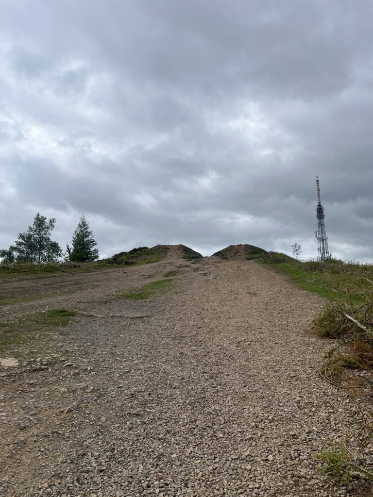
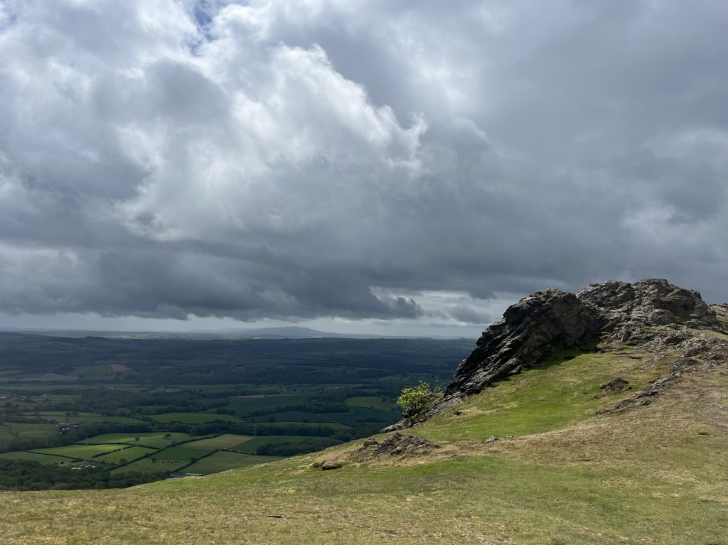
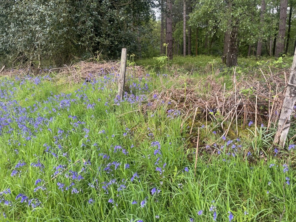
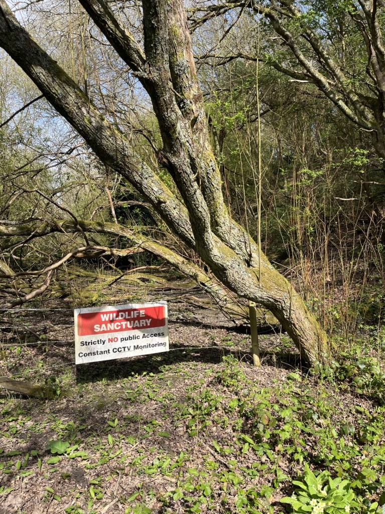
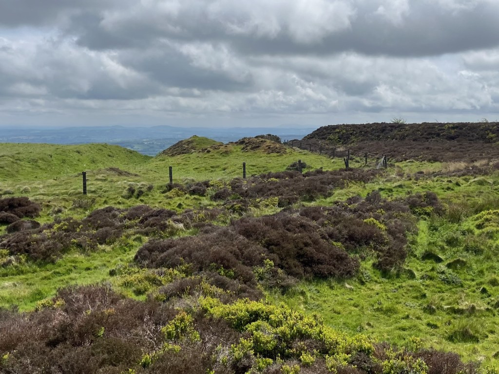
Nearing the top the gradient eased, and I now stood looking up at a long ridge with communication masts and what looked like the remains of iron age ramparts. Although I was nearly there, a robust and modern looking fence deterred further ascent.
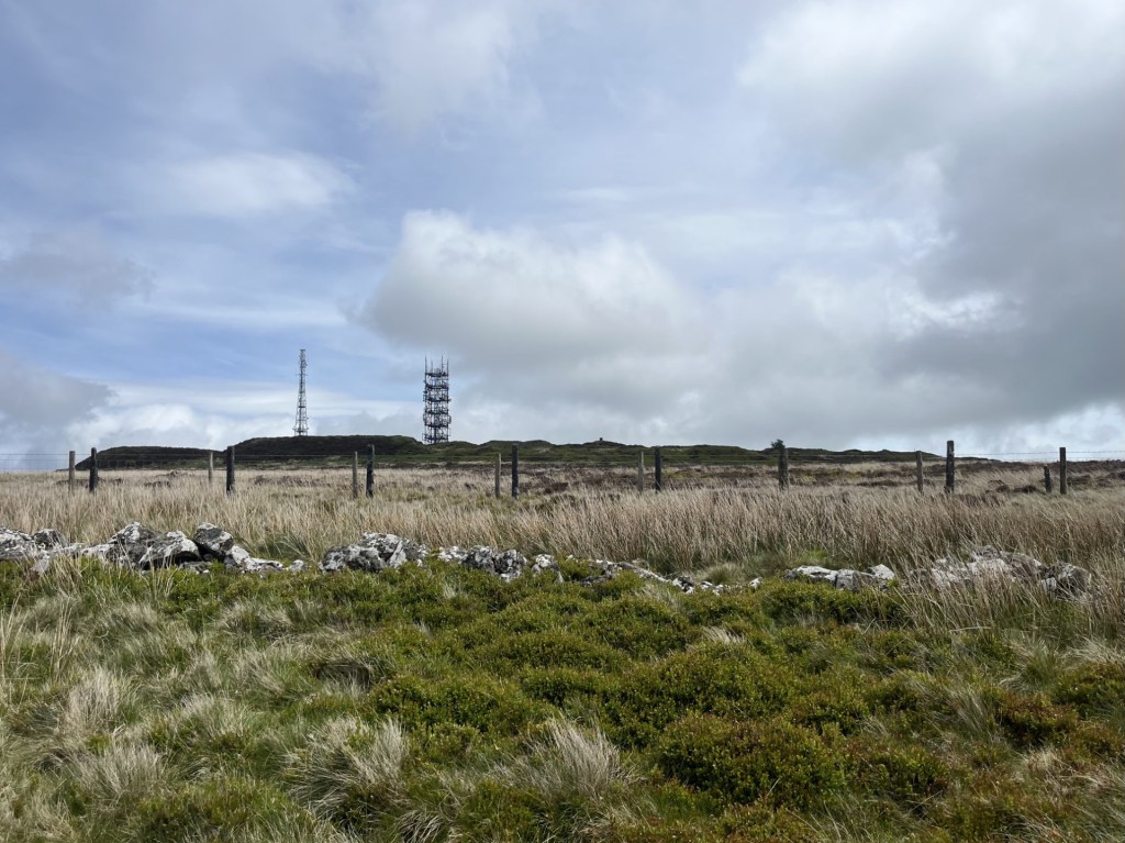
Access temporarily denied
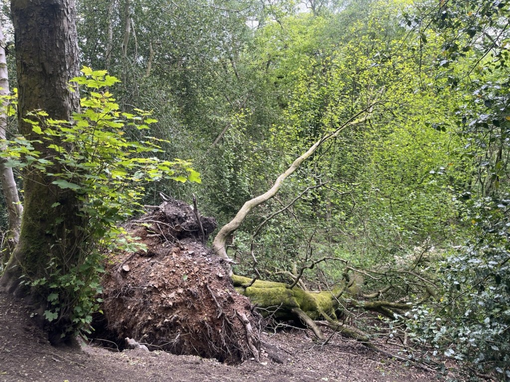
I tracked the line of the fence, using the top of a ruined dry-stone wall as my footpath.
This wall had come tumbling down
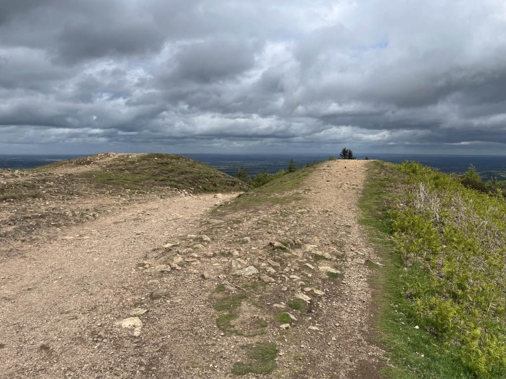
After five minutes a gate marked the entrance to the higher ground and a path that led to the top.
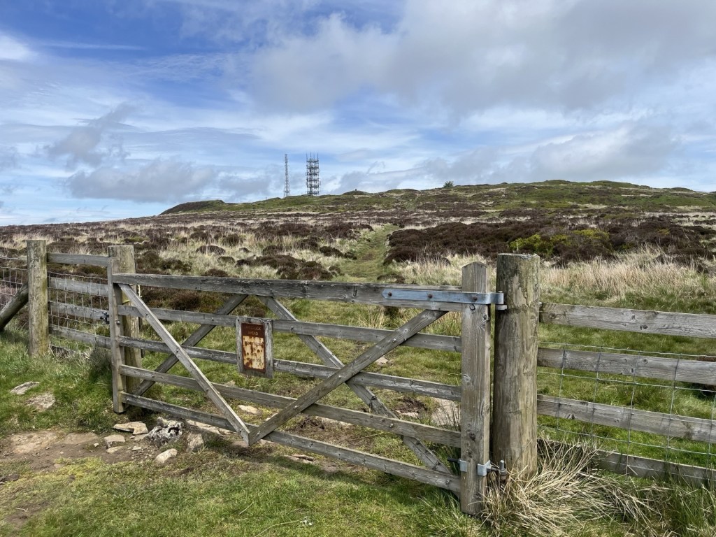
Here we go
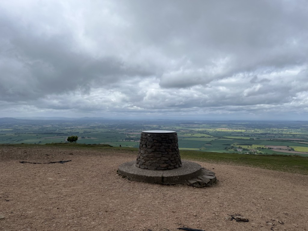
A few more minutes and I was at the top and leaning on the toposcope. The communication towers aside, the 360-degree panoramic views were outstanding. I was having some difficulty working out the lay of the land immediately surrounding me. Whilst it seemed obvious that an iron age fort would have once been sited here, the ground was highly irregular and pitted, with a large and not exactly natural looking pond next to the service buildings.
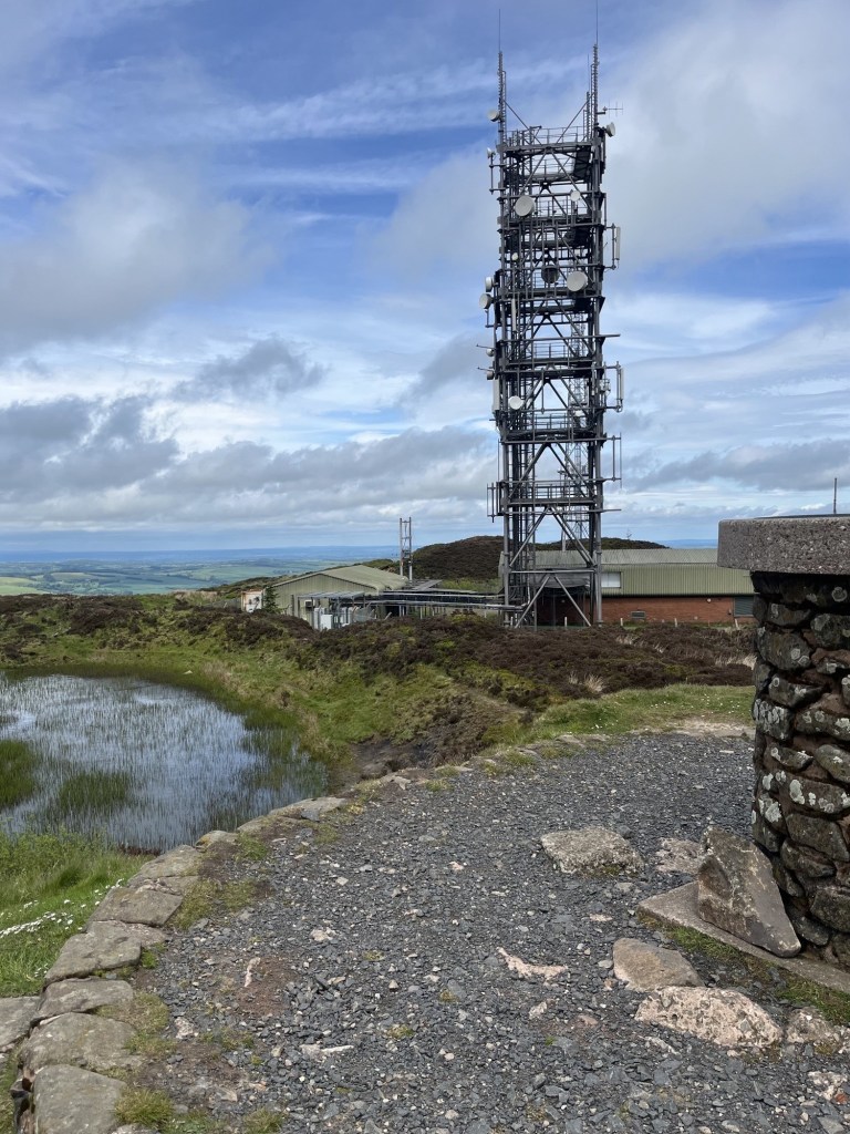
A messy view at the toposcope
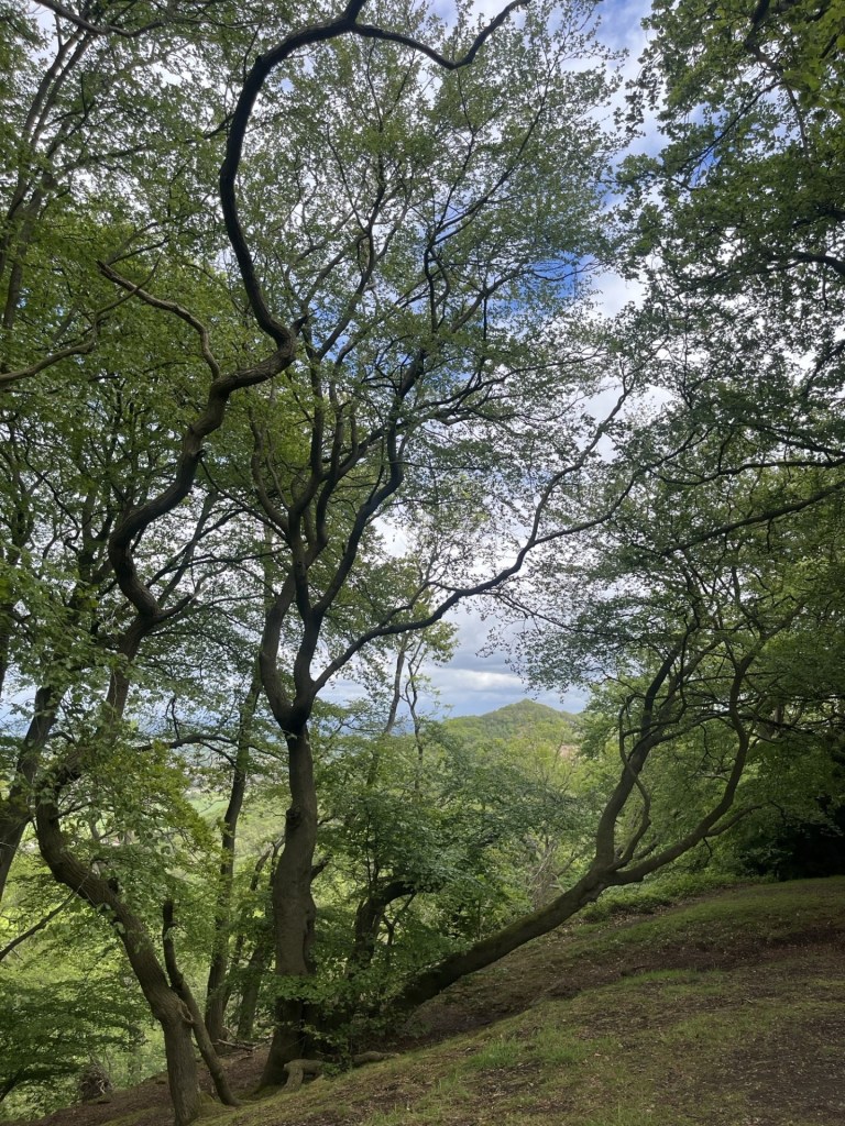
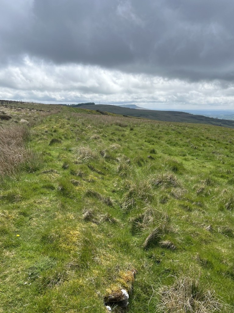
My plan was to head on over the top and then down a path that would head north and then track back south west down to the start, but before I did this I decided to explore the erratic land past the communication towers, not least because I had a feeling that the highest point actually lay thereabouts, rather than at the toposcope.
Direction north, and the Wrekin on the horizon as my guide
Easier said than done. It was easy getting there, but very quickly the path melted away into the low shrub and heather and I was treading lightly, increasingly wary of the next step and a potential twisted ankle. There was a point where going back wasn’t an option, and I carried on through the difficult terrain, edging back round to the east. I stopped for a while to get my bearings. We are talking about an area no bigger than a football pitch in size, but I might as well have been lost up the Orinoco. All reference points had vanished. I was not of this landscape, which I should have left well alone.
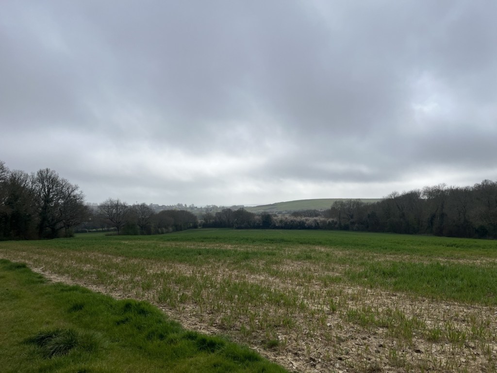
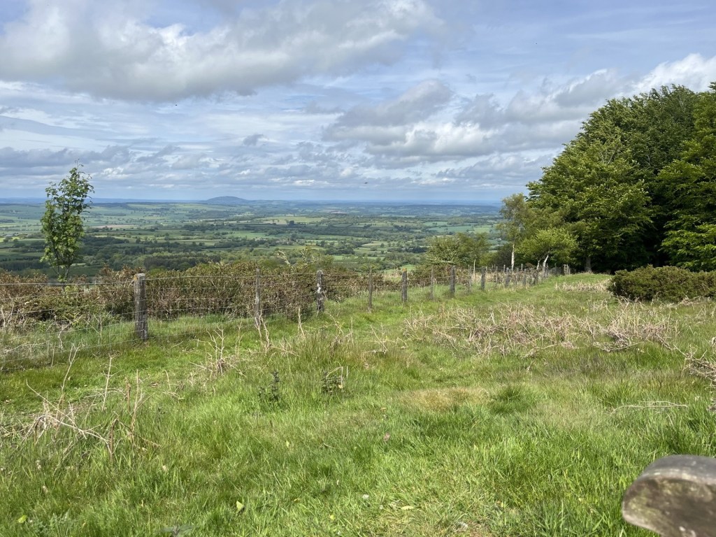
Eventually I came across a small track that led me back to the communication towers with an exit onto the service road that would lead me north along, and then down the plateau (the road is closed to private vehicles). I looked to the south and could clearly make out the Malvern Hills and Worcester Beacon. An impressive view, but it was about to get much better.
The Malvern Hills – just above the gap with the fence running through
Further on and another larger pond appeared on the right. Given what I had seen so far it was becoming evident that this area had once been subject to extensive abstraction; of what I had no idea.
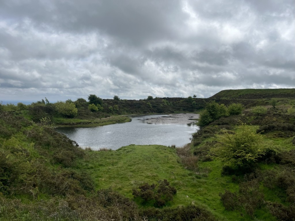
I wasn’t tempted
Google maps had indicated that at some point just ahead there stood an historic building. I was curious to discover what this was, and as I passed beyond the pond a sturdy looking stone building (lacking a roof) came into view.
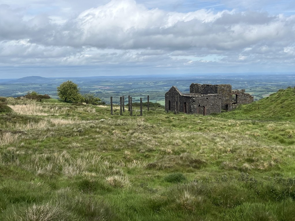
Approaching the historic building – located on the eastern flank and looking towards Birmingham
It was clearly an industrial building of some age, and apart from the missing roof and windows, in relatively good condition. I read later that it had been used for crushing stones, and its existence began to help explain the pitted landscape of the summit and surrounding slopes. Along with various minerals I have never heard of, at one time the top of Brown Clee was also the highest point in the country where coal was dug.
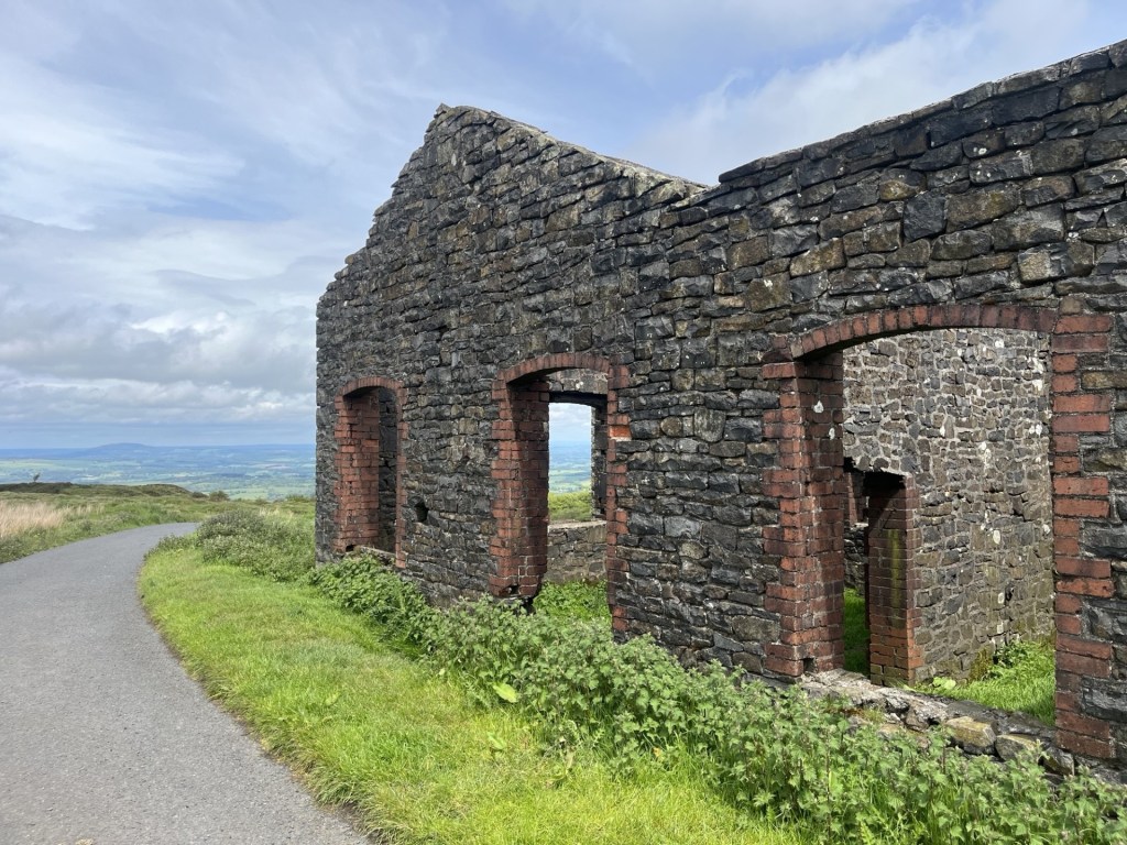
Tea Room potential
I moved around to the back of the building to where the remains of a large wooden structure projected out like a huge Roman ballista, ready, it seemed, to launch huge broken stones towards Walsall.
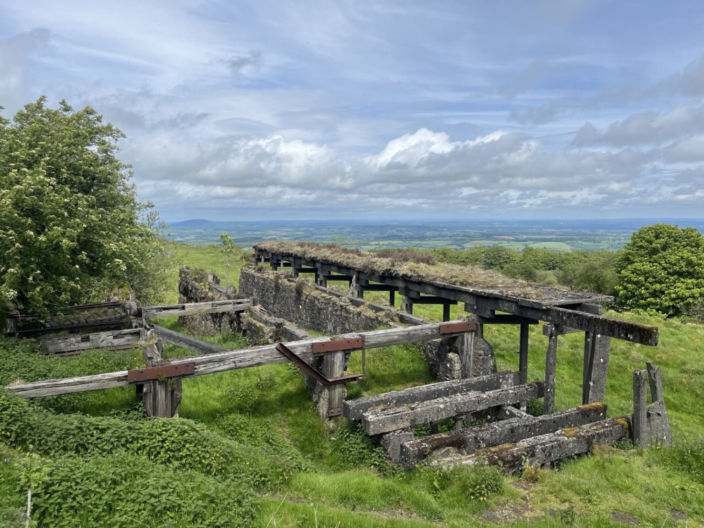
The remains of something
In warm sunshine I sat for a while contemplating the structure and the industry it supported. There was no significant community for miles around, and it seems that people who worked the area made their way out on foot from towns as far away as Ludlow and Bridgnorth. Standing at 540 meters this would have been an almost intolerable place to work, and not just in winter. But they did, until the mid-1930s.
In the real world (not my imagination) the crushed stone would have been loaded onto a light railway, the faint remains of which could be seen snaking north, and away. I carried on down the road, reaching a point where it fell away steeply down the northern slope, and where above, the remains of the old trackway rose steeply up the bank and towards the remnants of more industrial buildings.
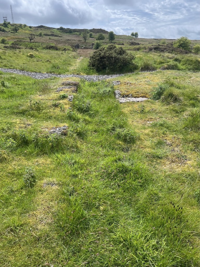
Looking back up the old trackway
Walking down the track the sound of birdsong continued all around and picking up on the direction of one particularly chirpy chap, I made out the source sitting proud at the top of a low bush, and seemingly oblivious of my presence.
Today’s bird and song, a coal tit I think, but other species remained contenders
Some way down the road (built I presumed on the line of the old track), which stretched on and down to the foot of the hill, a fence and cattle grid marked the boundary between up and low land.
Tally Ho!
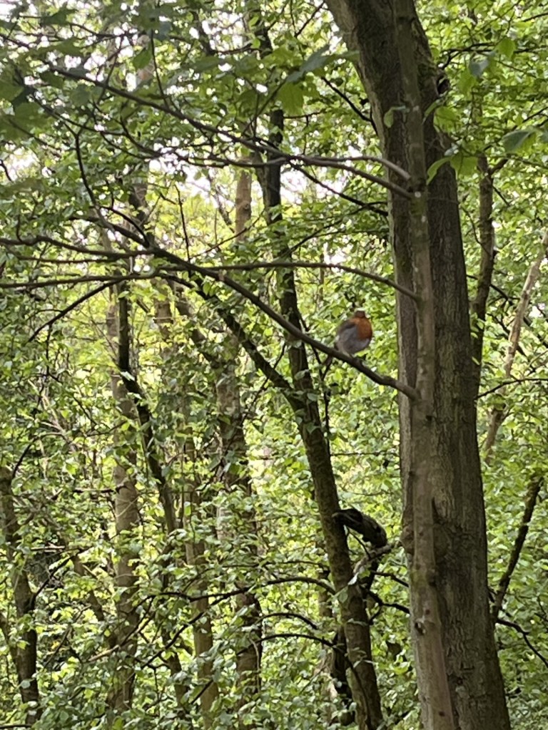
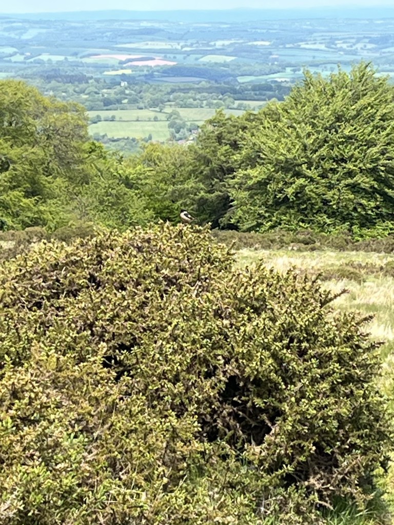
I veered left at this point and followed a well-used track with the fence to my right and with a grand, mature wood beyond. Small birds continued to flit between the branches. Further down I could see another larger unidentified bird on the track. I approached carefully, hoping to get a photo that would help identify it. This is the photo.
Spot the bird
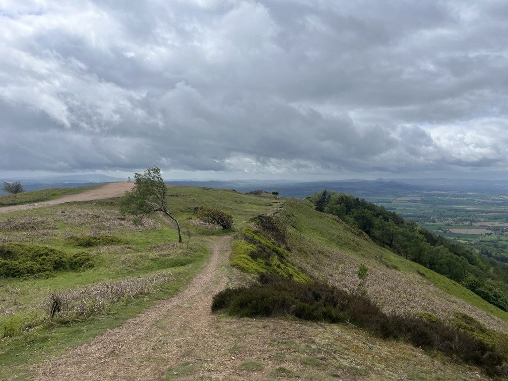
This delightful woodland walk continued for a while. The path took a left and I was now on the western flank of the hill and with the woods now behind me. As if by some sort of osmosis, just to my left a bench appeared. It was good timing. I needed a short rest.
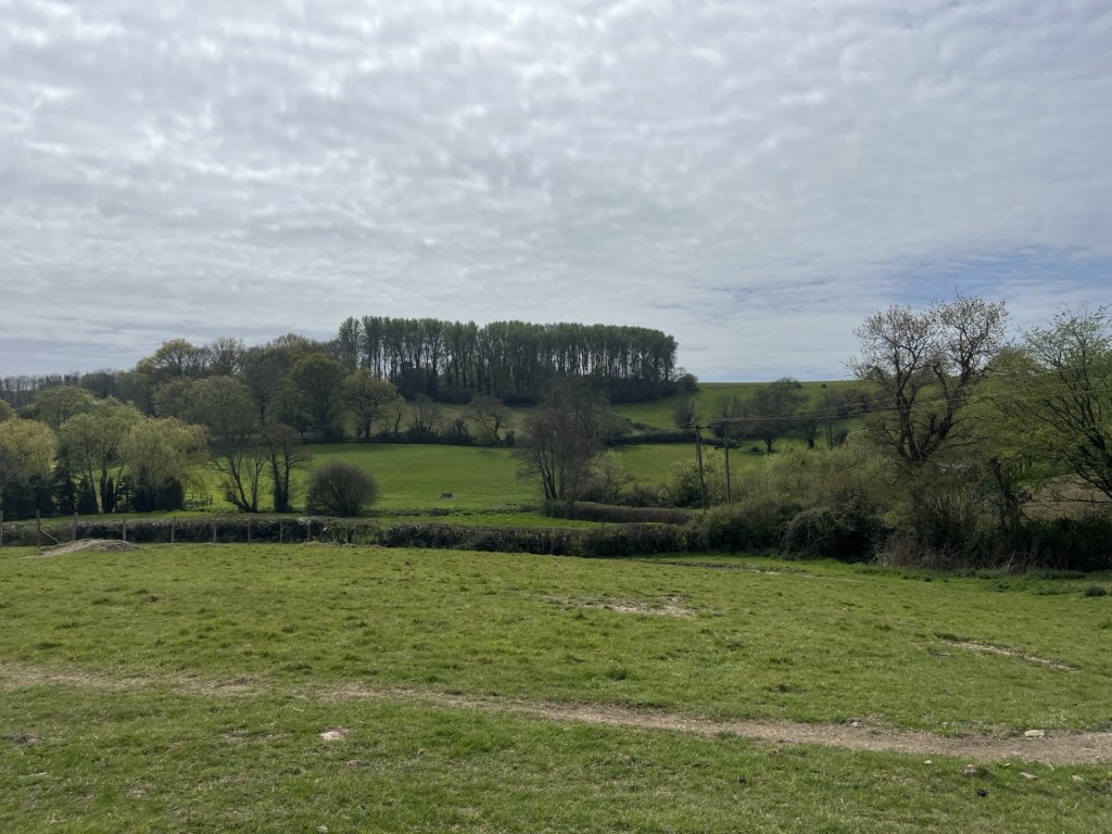
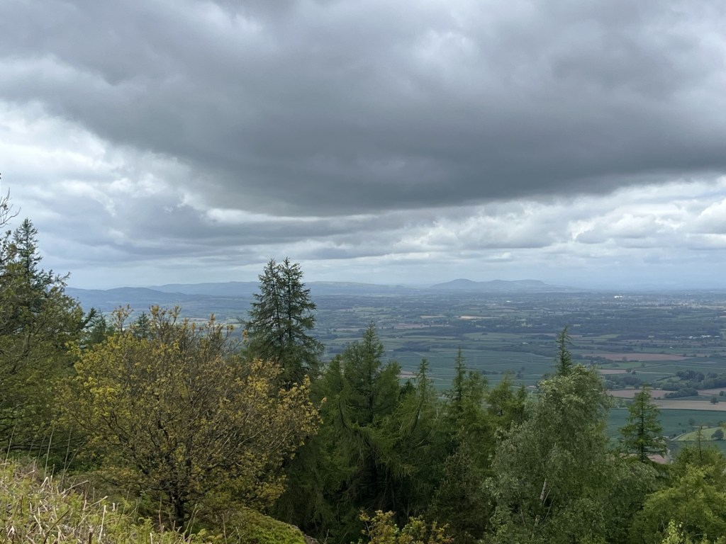
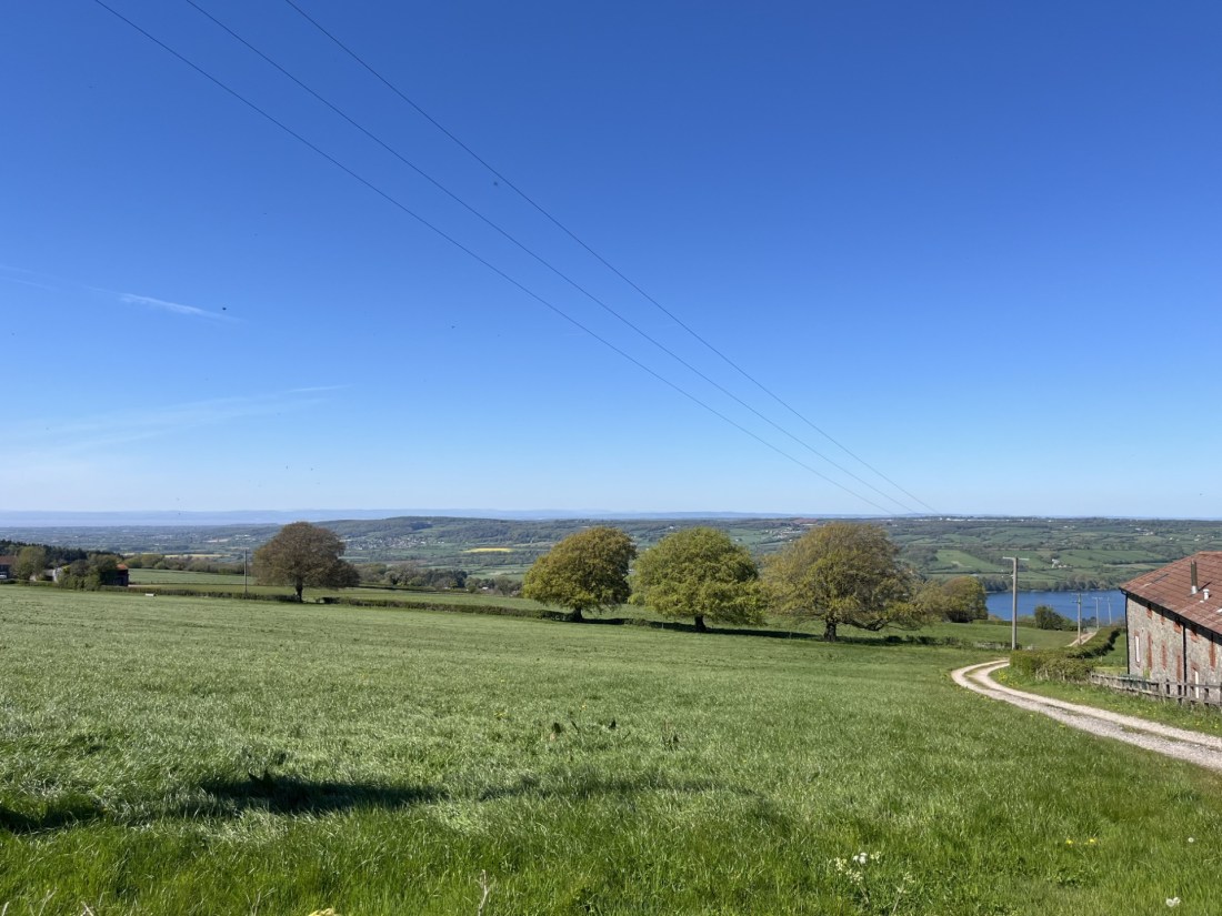
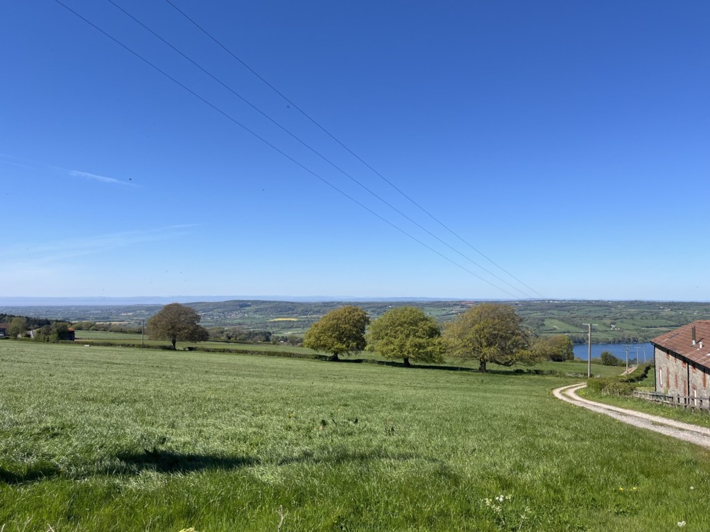
With the sun now swathing the land, and high clouds giving some texture, it began to dawn on me that I was looking at a significantly large part of England and Wales. Back at the summit I had been able to look as far south as the Severn estuary and to the west the Brecon Beacons and Sugarloaf, on my ascent I had peered across to the Long Mynd, and beyond the Welsh high north west, including Cader Idris (my all-time favourite) and Snowdonia, and at the stone crushing factory, looking east I had glimpsed Birmingham, but had also inadvertently viewed hundreds of square miles of the Midlands and the east of England, including Warwickshire, Northamptonshire and Leicestershire (Bardon Hill almost certainly).
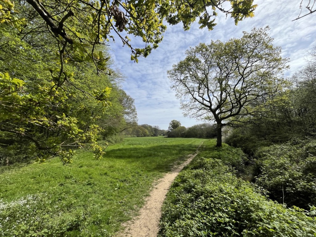
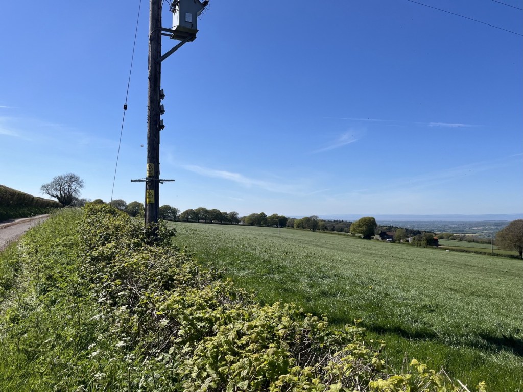
I got out my phone and decided to see if I could pick out the points on the horizon where higher ground met the sky. To the northeast I could make out the Peak District and the Pennines stretching beyond. To the north the nearby Wrekin, but to the left of a young tree (see photo), and as far away as the eye could see, the bulk of the Lake District was clear. That was nearly Scotland! I was suddenly overwhelmed by the knowledge that I might possibly be looking at the most all-encompassing view in Britain. Well, maybe there’s another contender, but the more I thought about it, the more convinced that this was the spot. * The bench was dedicated to Ian Dodds, born a year or two after me, and gone before his time. I’ll say one thing for Ian Dodds, whoever he was, he knew exactly where to be. In the full knowledge that it was extremely unlikely that I would ever find myself at this sublime spot again I uttered a grateful and meaningful “thank you” to the friends and family of Ian Dodds.
The greatest view in the land (possibly)
Rested and with my mind buzzing I carried on along the path which followed the contour for a couple of hundred metres, all the time thinking about the views and what they hid. There wasn’t a single person visible in any direction but nestling between the folded landscape that stretched in all directions, millions of people were leading their lives. A diversity of dialects and languages ranged from the soft west country burr to the south, through Wales and then north, Scouse, Manc, Cumbrian, Yorkshire then down through the slowly changing lilt of the East Midlands and then the Black Country. Never mind the politics, it was crazy, and time to come down off the high.
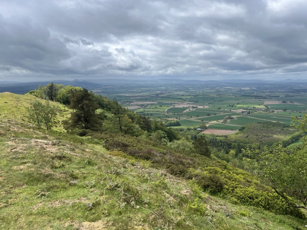
Before the final descent I looked out for one last view. For the first time, maybe due to the time of day and angle of light, I picked out the long low ridge of the nearby Wenlock Edge. Stretching from Much Wenlock in the north and heading directly southwest for about twenty kilometres, ending at Craven Arms. Like a giant tsunami rearing above the plain, instantly fossilised in a moment of time by an unknown force, forever brought to a halt for the rest of time moments before crashing against the shore of the Long Mynd. I was delirious.
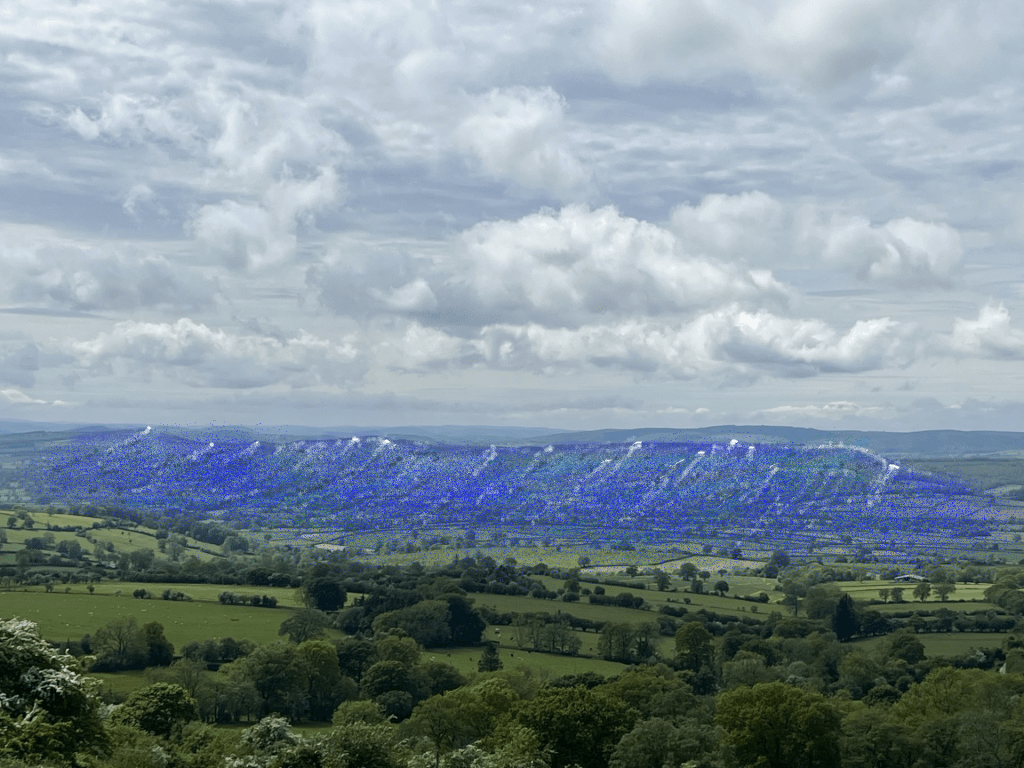
The permanent Wenlock wave
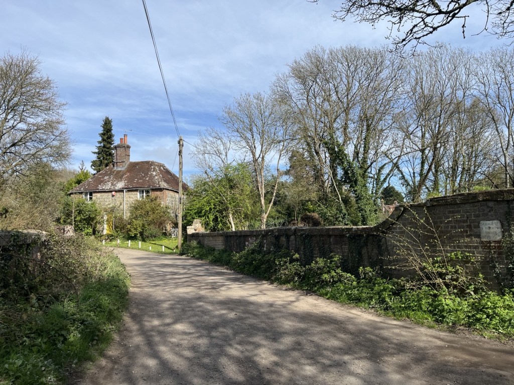
The path down zigzagged its way past more land pitted by long gone extraction, before pitching out onto the narrow road that ran past Fair View (possibly an old farm) and then to the junction with the phone box library. At the car I took my time changing out of my walking boots. A solitary cyclist slowly passed by and said hello. With the exception of a couple of walkers, spied at a distance near the top, he was the first person I had seen.
I drove slowly back towards Much Wenlock, still muttering a big thanks to the hill. What a day. Brown Clee had not been the most glamorous county top, but it had never stopped giving. Its isolation probably saves it from invasion, but with the decent road to the top and a little imagination (a heritage centre and a cafe at the old stone crushing building perhaps), it has essential Instagram, go to destination, written all over it. Yeah, right… perhaps not.
*Wikipedia mentions that the Clee Hills feature prominently in the Mappa Mundi. A couple of years ago I viewed the Mappa Mundi in Hereford Cathedral when exploring the tops of Worcestershire and Gloucestershire. I missed this subtlety, but that it does feature at all gives these hills some major significance.