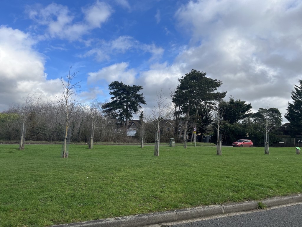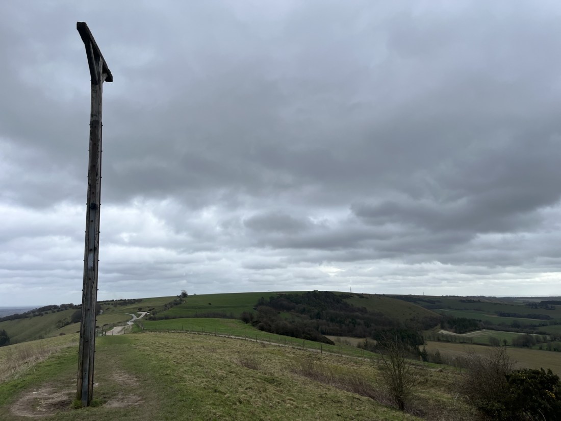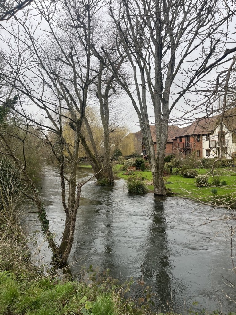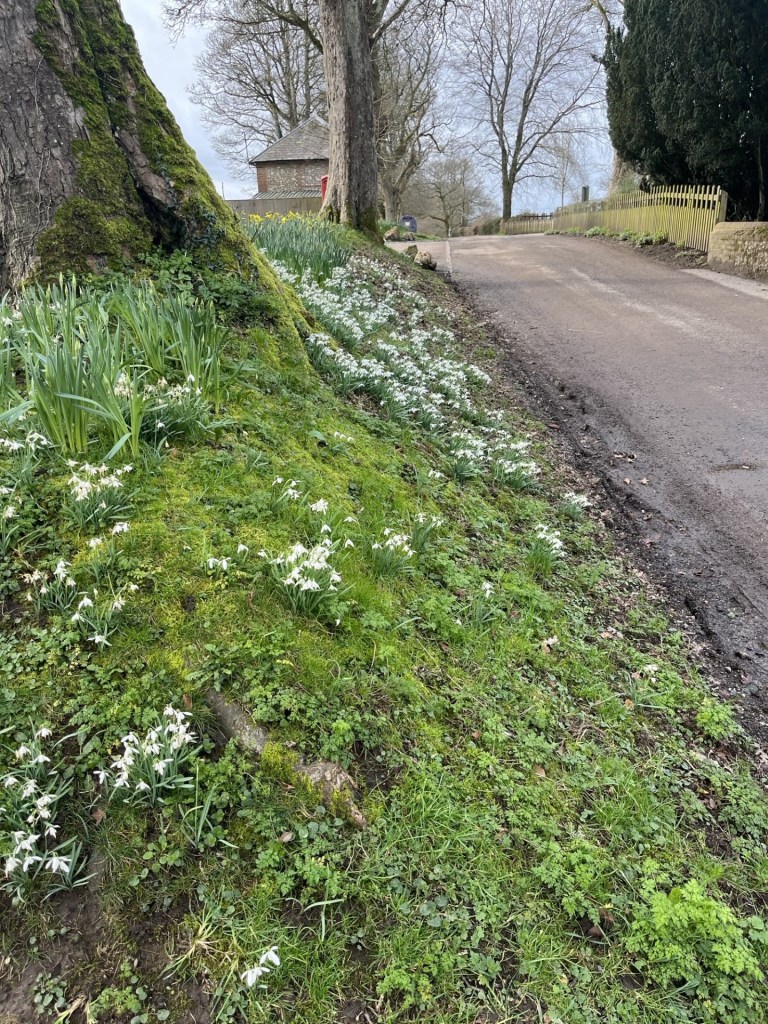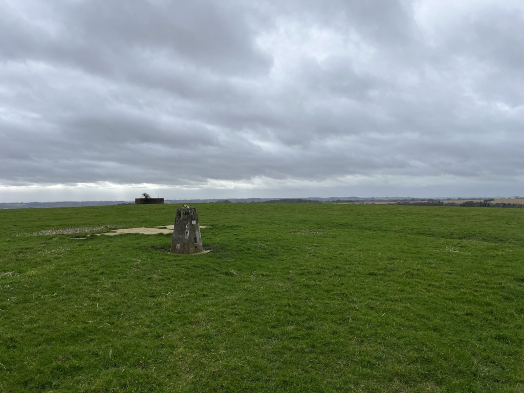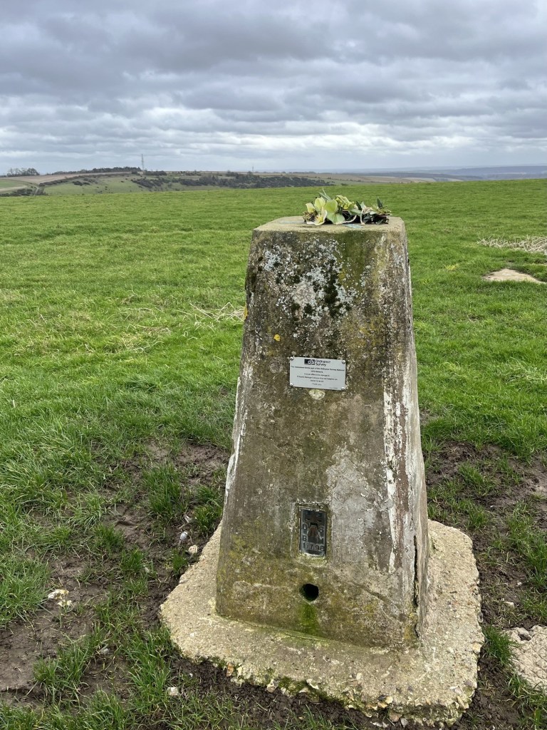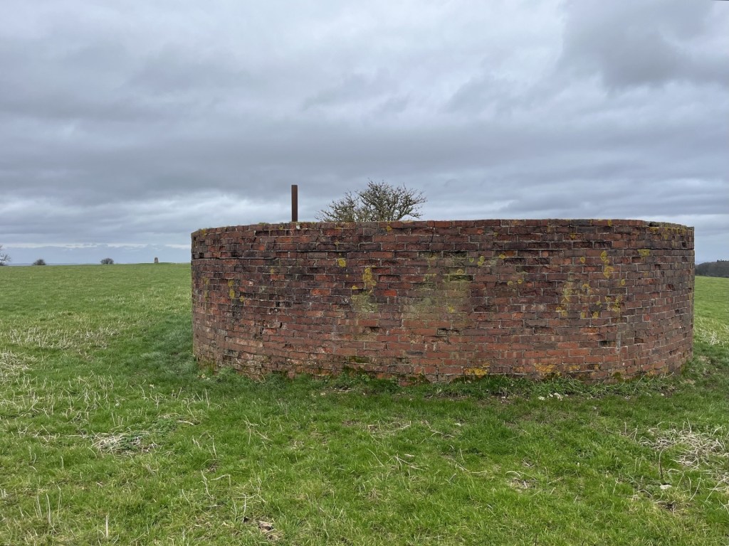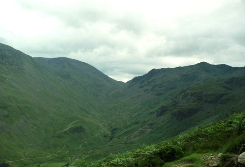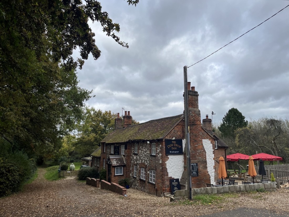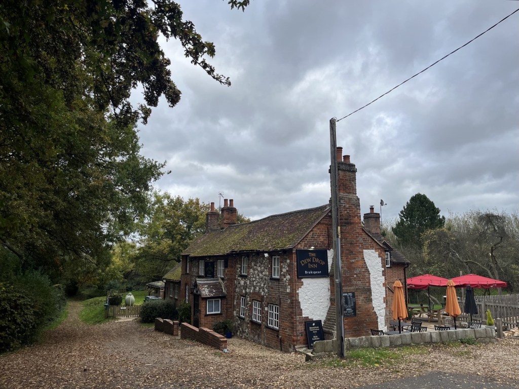
In March 2025 I reached the top of Bristol. It wasn’t hard, being just a short drive up the road from where my daughter lives. Cossham Hospital, at the top of Lodge Hill, as informed by Peak Bagger, my go to reference guide to all things County Tops related. For what it’s now worth, the brief account of that event can be found below, although no doubt some of the references to AI are already out of date! *
Some months after that event, an article “randomly” popped up on my Google feed. Bristol Live, I think? In a rather rambling account that lingered, paragraph by paragraph between multiple adverts hinting at scandals beyond the headlines, it explained that whilst most Bristolians had been brought up on the notion that Cossham Hospital and Lodge Hill were the highest points in Bristol (including Peak Bagger of course – see below), researchers now believed there was a higher point.
And, just when we thought there were no mysteries left!
In brief, in 1949, to help Bristol build more homes, they did a land swap with Somerset council. Somerset gained Portishead docks (now in North Somerset – highest point Blagdon Hill Farm – account available), and Bristol gained a northern slice of Somerset, which included a chunk of the Dundry Hill range.
That it had taken the “researchers” over seventy years to decide this issue wasn’t mentioned, but regardless, and having checked Peak Bagger again and noting that it had been updated, presumably because whoever administers the site is subject to the same algorithms as my phone, I was now left with the task of visiting the newly identified high spot and updating the records accordingly. Shucks!!
The opportunity finally came along after a routine visit to my daughters, during which she and her partner, J, acquired some sort of norovirus, and I decided to exit stage left earlier than I’d planned.
On another stonkingly hot day, early afternoon, I set off south through the suburbs, eventually finding East Dundry Road. I stopped for a minute to take in the height’s ahead, and the Shield and Dagger public house, which seemed to be doing good business.
Towards my destination, with the Shield and Dagger nestling behind the fence
The road continued through a housing estate that petered out at the foot of the rise leading up the hill. At this point I had to find first gear. The road, potted and narrow, without passing spaces, angled up at a disturbing gradient. If another vehicle had been coming down in the other direction, I doubt I would have had the driving skills to navigate the situation. But all was good, and after half a mile or so the road began to flatten out with views opening out to the west towards the Severn estuary.
I knew that at this point I had left Bristol and was in the Bath and North East Somerset Unitary Authority area (just to complicate this account further), and that the high point of Bristol lay just a short distance down the hill to the right. The problem was that there was nowhere to park.
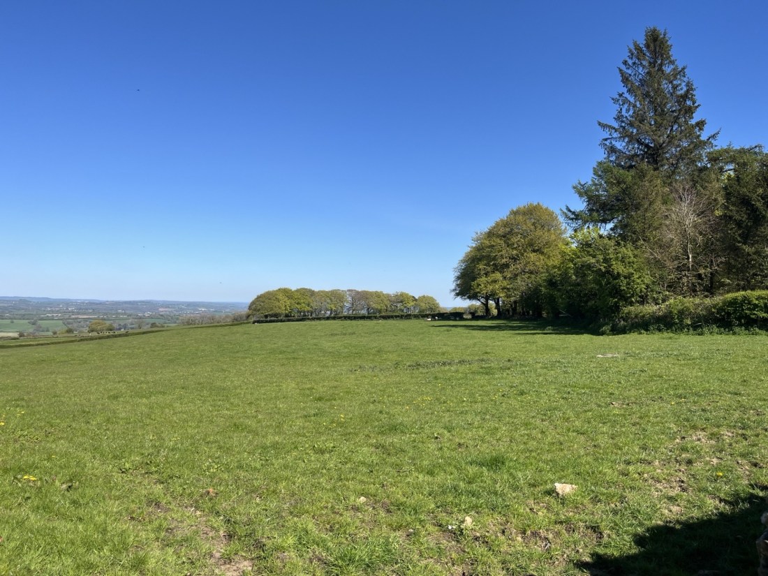
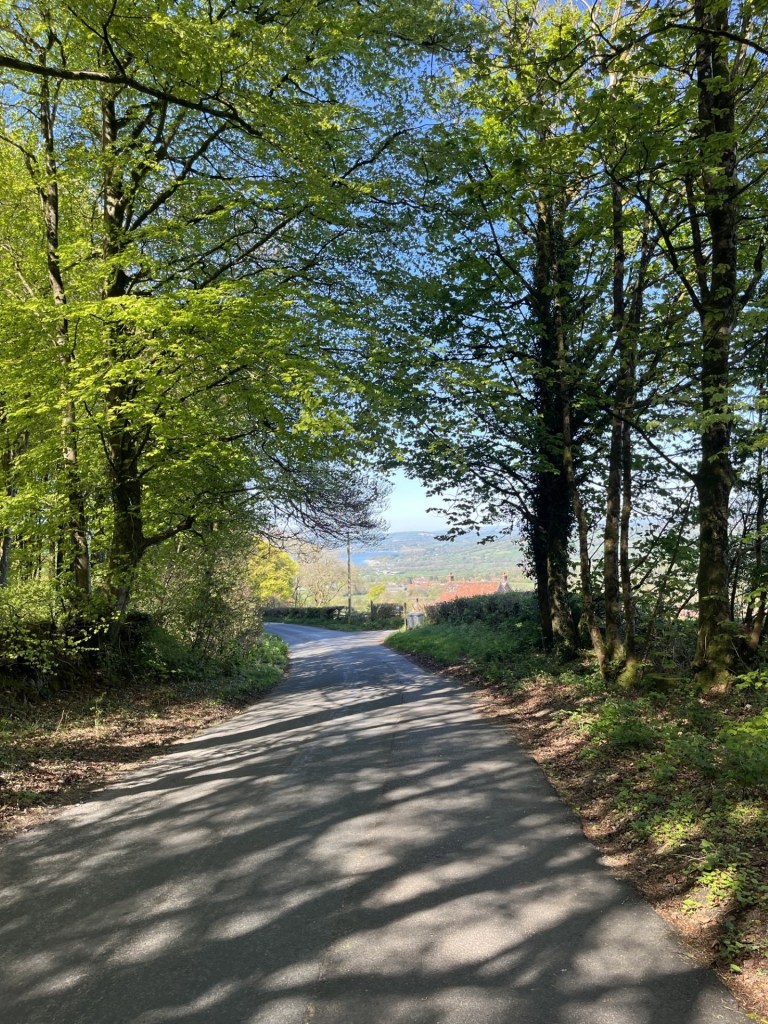
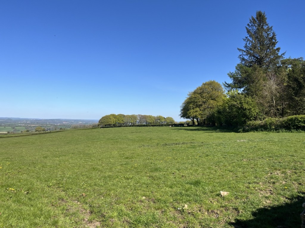
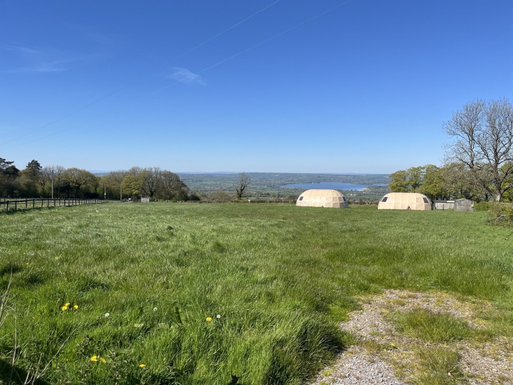
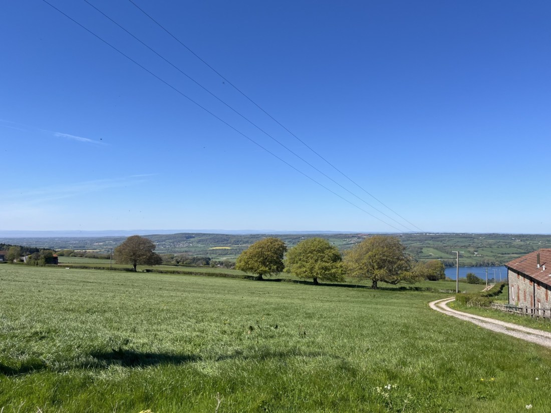
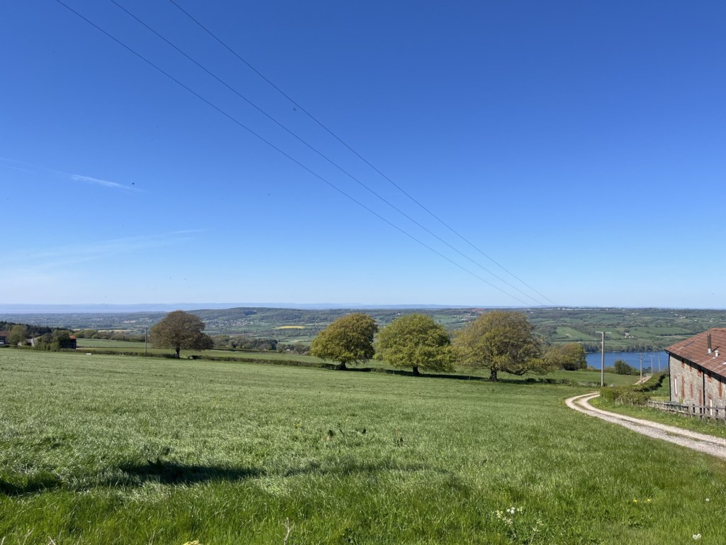
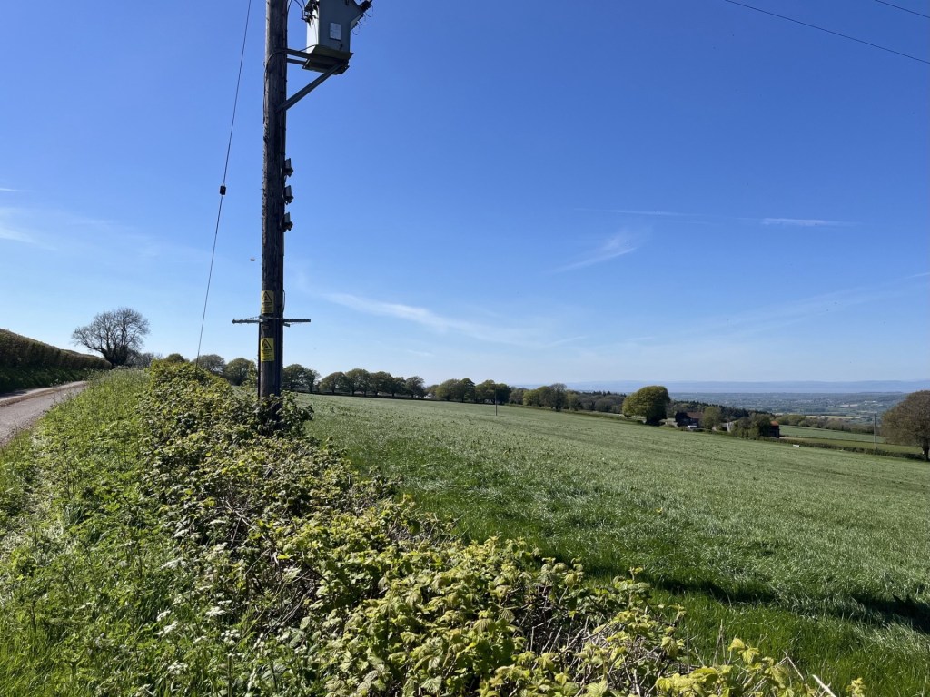
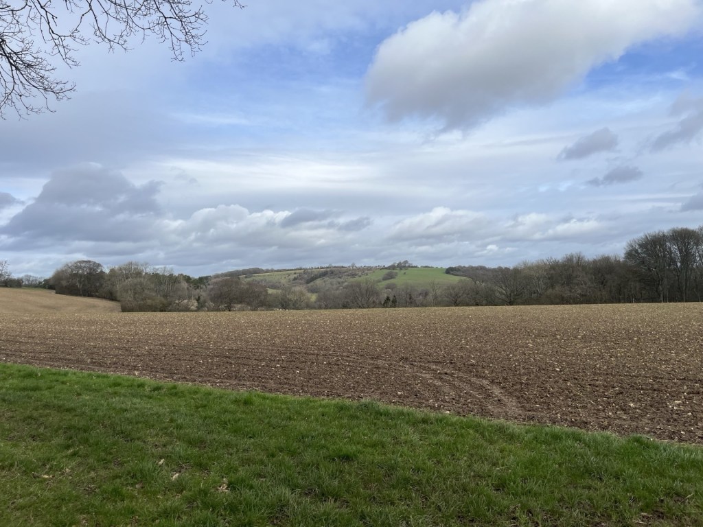
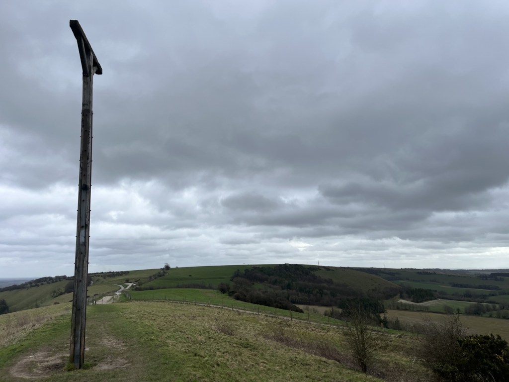
I drove on a short distance and found a small recess in the hedgerow that allowed me to park up for a moment, jump out and look down across the large field towards the spot I guessed was the spot. I took a snap and another of the road (for artistic reasons I should imagine), then jumped back in and headed on along the ridge to the hamlet of East Dundry.
Somewhere down there
Looking back at the climb up East Dundry Road
One last look – over to the right maybe?
Back home, and two days later, I woke up to the reality that despite my early exit I hadn’t escaped the Bristol bug. Never mind. The mission continues.
The first edition
*Lodge Hill
112 Metres
369 Feet
28th March 2025
A room with a View
Bristol is a hilly city, blessed with many high points that grant excellent views. To the northeast, the Dower House, located metres outside the city boundary in South Gloucestershire, is a striking, sandstone coloured Georgian pile that can’t be missed from the M32. To the southwest, and still close to the M32, the remains of the Purdown anti-aircraft batteries now hide under the soaring BT tower, but have grand views towards the city, and must have been an impressive, albeit salutary sight, when in action during the Blitz. In the city itself, the remarkably well-hidden Cabot tower at Brandon Hill gives some of the most impressive views of the city and its surrounds. And of course there’s the Clifton suspension bridge, and the “Downs” above, to enjoy and feel a sensation of elevation.
So, great, but none of these can claim the high spot. That goes to Cossman Hospital located at the top of Lodge Hill, found appropriately in the Lodge Hill area in the northeast.
On the 28th of March 2025, I had a few minutes to burn before imposing myself on my daughter and her partner J, who conveniently live in Bristol. A couple of hours earlier I had walked to the top of Pilot Hill, the highest spot in Hampshire, and now had little interest in further physical activity. I drove up Lodge Causeway from Fishponds, parked up in Selkirk Road and then took this picture before departing. The impressive clock tower is the highest (man-made) point in the city, and the view from there, and I guess some of the wards or admin offices below, must be pretty good, but from just outside the car park, it’s a moderately interesting, possibly Victorian building.
Rooms with a view (I imagine)
A slightly irritating side issue to my tremendous achievement was that as I stood on Selkirk Road (112 metres) I turned and looked to the east, towards the main road, and houses beyond. A side road continued past the main road and, in my mind, appeared to rise to what appeared to be a higher point. It was certainly industrial in nature and appeared to be fenced off. But there was no more curiosity in me, and I left. Of course, in the end curiosity, and a sense of duty to the topic, led me to double check for any localised height variation. Firstly, don’t bother yet with AI. If you type in Google “the highest point in Bristol” the AI overview will tell you that it is Dundry Hill and has a picture of a mountain that looks remarkably like Cadair Idris, a beautiful peak in northwest Wales (or, as I discovered on a second try, Blackdown Hill depending, I guess, on how the AI is feeling, or what it’s learning!). Don’t worry, I’m lost too. Dundry Hill, as of course we all know, is in North Somerset, and that’s a different county (and if you ask AI Overview for the highest point in North Somerset it will confirm this, doh!). *
At this, the casual reader may say, “I thought this was supposed to be about reaching the top points of counties. Why are you doing Bristol, given that it is in Somerset?” Until I started doing this arguably pointless hobby, I too might have thought the same and indeed would have been certain that in the 1970’s, when I went for a pub crawl around Bristol with my very Zummerzet friend Andy on a Saturday night, that I was indeed in Bristol, Somerset. Not so. Bristol, historically, was split in two by Gloucestershire in the north, and Somerset to the south, with the Avon River being the divide. In 1373 Bristol became its own entity (it is complex), which endured until 1974 when it became part of the County of Avon. That lasted until 1996 when Avon was abolished, and Bristol became a Unitary Authority. So, when being shown the sights of Bristol nightlife in 1977, I was probably in Avon. Anyway, when I initially found what appeared to be a reliable list of British counties, Bristol was included, and in my mind qualified.
Where was I? Ah, yes, going off piste again (to be fair, it was 1977). So, at the top of Selkirk Road the land appeared to be higher than where I stood. I later checked the ever-reliable British Geological Survey Viewer, and it confirmed that the land did indeed rise a further five metres. Annoying, although I’d be back there again soon and could always pop up to Castle Road to take a closer look. Oh, Castle Road, interesting! It seems that at some point there was a stately home, or manor house that was known locally as the “Castle”. That being the case, that the land rises here probably has more to do with human activity than with the natural contours of nature, and to that end I may feel less obliged to carry out another visit. Anyway, if you want to take this activity seriously, and finding the very top of Bristol is that important, walk away from the hospital and further up Selkirk Road.
As an aside, if you wish to find out more about the semantics of what is, or is not a county, I stumbled on this website.
The Association of British Counties, with the mission statement “A society dedicated to celebrating and promoting the 92 historic counties of the United Kingdom and the important part they play in our culture, heritage and geography.”
A brief scan of the text and I immediately departed company with m’learned writer. I guess it had something to do with the smug pomposity of the language that turned me off, and of course the knowledge that all boundaries are in any case artificial constructs, which ebb and flow depending on demographic change, politics, and as we still see, war. Just a little bit of me wondered if the Association might also want to reintroduce imperial measures. Mines a pint.
*I doubt that I will engage much with AI options, though I can’t rule it out, and in time may have no choice. As I write this, a news item reported on the US Secretary of Education, Linda McMahon, talking about how AI will be taught in schools, but more than once called it A1 (A One). Four more years of this………..! Help.
There were two main reasons why, two years ago, I decided to seek out to reach the top of the UK’s counties, and shortly after, the Unitary Authorities and Metropolitan Boroughs. The first was to literally do just that. The second was in the certain knowledge that it would take me to new places. Places that may or may not present moments of unexpected interest, regardless of whether good, bad or ugly.
I was at the end of a three-night stay in Much Wenlock and exploring the area’s glorious high points, in particular The Wrekin and Brown Clee Hill. I was heading back south and throughout the morning it had been hotting up (the next seven days would see record breaking temperatures for May across much of the country). I knew that with some careful navigation I could have a wee peek at the top of the Birmingham Metropolitan Borough, on the Lickey Hills to the south of the authority.
To get there I came off the A38 Birmingham Road at Rubery, wound through some estates, then south back under the A38 into the St Chad’s Park area, and then towards Rednal. So far, nothing unusual to see, other than the obligatory handful of St George’s and Union flags, but no more or less than any similar area in the country.
But I’ll cut directly to the chase (and I don’t mean Cannock). By the time I had reached Eachway Lane, where I parked up, the parade of flags that had lined the route left me in no doubt that with the views I held, I wasn’t likely to be welcome in the area. I left the car, found a track up the north flank of the Lickey Hills and within a few minutes was standing at the top of Rednal Hill (north) and looking out towards Birmingham, and a mile or so away the site of the old Longbridge car factory. All very nice, but I wasn’t about to stick around.
Some photos to prove contact made
Going Up
The top, towards Longbridge and the city
The top, looking north and hiding a 1000 flags
I navigated back down the steep descent, and then through the pleasant woods. I drove away without giving much thought to the experience. As I wound through the streets on my way to the M40, the proliferation of flags increased exponentially. It would have done the Mall on a coronation day proud, and it definitely wasn’t a precursor to the World Cup. Every lamppost and tree available for miles flew the symbols of nationalism, and not to beat about the bush, hate. That’s my opinion of course, and I am sure that not everyone who supports the raising of the flag initiative holds divisive views, but I know where I stand, and it’s not for this.
In the middle of October 2020, and with a brief window between lockdowns and restrictions, I grabbed the opportunity and spent a couple of days in Bristol with my daughter and her partner J (I stayed in a hotel!).
Reluctant to return straight home, with a bag full of masks, I took the opportunity to head up the River Wye and spent a couple of nights in a hotel in Ludlow. I remained cautious about mixing in large groups, though on arrival it turned out it wasn’t an issue in Ludlow, which was largely deserted.
I had a full day to get out and explore an area of England that I knew nothing about. The Long Mynd was on my agenda, but being completely unfamiliar with the range of hills, I decided to try and secure a map to aid my progress.
I drove randomly towards the area’s general direction and eventually parked up in Castle Bishop, a small but attractive town in the middle of nowhere, but with a slightly alternative Glastonbury type vibe to it. Not because there were people on the streets wearing sandals and bangles (there were no people full stop), but because a few of the shops, mainly closed, had windows full of crystals.
I found a book shop that was open. Donning a mask, I entered cautiously. Working my way around I found the map section and moments later was walking with the OS Explorer 217 for the Long Mynd area towards the counter, where the owner stood without a mask!!!!
To be fair, it wasn’t in the rules at that period to wear a mask in public, but the general consensus was (unless you were a conspiracy theorist) that whilst it may have helped reduce infection it was also a demonstration of politeness and courtesy. We exchanged pleasantries. Where was I from? East Sussex. I didn’t need to wear a mask in Castle Bishop, he explained, it was so far from anywhere that the virus had hardly bothered them. I said I was glad to hear that. I explained that where I lived, in a large community, but isolated by geography and crap connectivity, the first few months had seen very low transmission until there was a sudden and dramatic upshot that took our town to the top of the charts in just a few days. He chuckled somewhat dismissively. “Don’t worry sir, we have crystals. That’ll be £12.75.”
A few months later the area made it onto the national news. Some of the highest Covid rates in an isolated community with minimal services. There was no crystal miracle cure, except of course the vaccine.
Leaving the shop I drove over to Church Stretton, parked up just out of town for good measure, and then set off up the winding road to the top. Despite being an overcast but dry day I was staggered by the unusual landscape. Upland moorland over a condensed series of what I can only describe as large knolls. A highwayman could have ridden by, being chased by a giant frog in armour, and it might have felt quite normal. I didn’t reach the highest point, but back then it wasn’t a statutory requirement. I headed back down a hillside track that led to a valley, on the way finding a tree with gargoyles for roots, confirming in my mind that I was in an enchanted land.
Gothic roots in a land of pestilence
Heading back along a narrow road I came across a woodland café, run I think, by the National Trust. I hesitantly went into the large space with just a handful of visitors and ordered a coffee and cream and jam scone. It was a sign of the times when the multiple component parts of the scone were set out on my tray. The little scone, on its own, came in a sealed cardboard box. Two wrapped butters were accompanied by a small glass jar of strawberry jam. The cream in a sealed tub, and a plastic knife and spoon in plastic wrapping. After some minutes constructing the treat, I was left surrounded by an array of disposable items destined for landfill. I was overwhelmed by a sense of shame and guilt.
But that was then, and this was now. In 2023 I revisited the Long Mynd, after the virus had finally become, like the common cold, a routine hazard. I had somehow avoided the virus’s reach during its heyday, but two years in and it finally caught up with me and smacked me square in the face (a week of mind-numbing headaches and crippling muscle pains). The return, a few months after that humbling time, confirmed to me how special a place it was.
Today I parked up near the town centre, wandered around a bit and then took coffee in a small cafe on the road leading out to the Long Mynd. Opposite a couple of women, Jehovah’s Witnesses, stood at a corner hoping to catch a fish. Nothing seemed to be biting, but I guess it must be a tried and tested technique. I considered whether to have a quick look up the road and towards the hills, but this was just a stop off before heading towards the day’s objective – Brown Clee Hill – the highest point in Shropshire Unitary Authority (surprising really because if you were to have asked me to guess where the highest point in Shropshire was, until recently I would have said, without hesitation, the Long Mynd, surely?).
The route east to Brown Clee took me down narrow lanes with isolated settlements and only the occasional oncoming car. Beyond the settlements the roads bore signage that suggested the speed limit was the national limit – 60 miles an hour! This is often the case in rural areas, but, unless your vocation is treating speed limits as a minimum aspiration, feels like a catastrophic blunder. Fortunately, perhaps given my overcautious approach to driving these days, I barely nudged above 20 miles an hour as I wound carefully through the red soiled land. And thank goodness too.
As I rounded a bend in the lane heading towards the tiny hamlet of Tugford, and immediately in front of me, a creature the size of a small fox sat on the road. I have very occasionally seen hares in fields, normally at some distance, but by sheer luck, being this close to an adult was mesmerising. It was huge, and the moment it had worked out that I might be a threat (I had by now stopped), it raised onto its haunches, and with a quick step and a leap was up the verge and away. It was a privileged moment for me.
I carried on along Marshgate and reached Abdon, where I turned left and arched around a large field, pulling up at a small parking spot just a few hundred meters below Brown Clee. I left the car and walked the road until it came to a junction, with an old phone box (now a community library) marking the way towards the start of the climb. As you would expect in a location like this, a female roe deer was standing outside the phone box but buzzed off the moment she clocked my presence.
A gate to a field on the left was the obvious entry point. The big footpath sign stated Brown Clee 2min. I had come prepared to spend an hour or so climbing to the top, so to be told that it was just 2min away left me a tad stumped. I remained, and as I write, remain perplexed by the meaning of this sign. I can only assume that it meant that the foot of the hill was a two-minute walk, but that is the sort of information that no one needs. Never mind, these are discombobulating times after all.
I was still hanging onto a heavy cold that had been draining me of resources for a couple of weeks, but unlike The Wrekin, which I had wheezed up the day before, Brown Clee looked a bit more forgiving, and after all it was only going to take me two minutes.
After ten minutes of steady upward progress along a red earthed stony path, I stopped to assess progress and the view.
Eight minutes beyond the two-minute mark
I had been tracking along the side of a field in a south westly direction, and a bit further on another footpath sign (this one didn’t give any indication how far the summit was), pointed north and along the lower slopes of the hill. I chose to take this path, figuring from the map that at some point it would start to zigzag up. As I walked across this relatively benign moorland, I became aware of the constant chatter of birdsong. After a few hundred meters, during which I had gradually gained elevation, a long line of old metal and wooden fenceposts staked a line down from the higher ground, disappearing off towards the foot of the hill. As I approached, I noticed (hearing at first) that every second or third post sported a small songbird of some type – each perched on the top like Nelson on his column and furiously chattering away with unseen chums. My presence didn’t seem to spook them, although of course it could have been my very presence that had them gabbling ten to the dozen. In the bushes and brambles that clung close to these mini watchtower’s groups of small birds, in two’s, threes and fours, darted in and out, then up as one and then away back into the undergrowth. I couldn’t name any of the species though I guessed they were different types of finches. Nightingales and skylarks, they were not, as these more identifiable birds busied themselves instead on and above the open ground beyond the posts. Using the line of the posts as a guide tool, I started to move up the hill. Keeping to a recognisable footpath became more problematic and I found myself climbing a shallow gully, where, in places, the ground had given way and in the mini caves that were exposed, the channel of a man laid pipe was revealed.
I carried on up the gully, the small voids opening up every so often to reveal human activity, and conscious that straying into the low shrub might run the risk of disturbing nesting birds.
Nearing the top the gradient eased, and I now stood looking up at a long ridge with communication masts and what looked like the remains of iron age ramparts. Although I was nearly there, a robust and modern looking fence deterred further ascent.
Access temporarily denied
I tracked the line of the fence, using the top of a ruined dry-stone wall as my footpath.
This wall had come tumbling down
After five minutes a gate marked the entrance to the higher ground and a path that led to the top.
Here we go
A few more minutes and I was at the top and leaning on the toposcope. The communication towers aside, the 360-degree panoramic views were outstanding. I was having some difficulty working out the lay of the land immediately surrounding me. Whilst it seemed obvious that an iron age fort would have once been sited here, the ground was highly irregular and pitted, with a large and not exactly natural looking pond next to the service buildings.
A messy view at the toposcope
My plan was to head on over the top and then down a path that would head north and then track back south west down to the start, but before I did this I decided to explore the erratic land past the communication towers, not least because I had a feeling that the highest point actually lay thereabouts, rather than at the toposcope.
Direction north, and the Wrekin on the horizon as my guide
Easier said than done. It was easy getting there, but very quickly the path melted away into the low shrub and heather and I was treading lightly, increasingly wary of the next step and a potential twisted ankle. There was a point where going back wasn’t an option, and I carried on through the difficult terrain, edging back round to the east. I stopped for a while to get my bearings. We are talking about an area no bigger than a football pitch in size, but I might as well have been lost up the Orinoco. All reference points had vanished. I was not of this landscape, which I should have left well alone.
Eventually I came across a small track that led me back to the communication towers with an exit onto the service road that would lead me north along, and then down the plateau (the road is closed to private vehicles). I looked to the south and could clearly make out the Malvern Hills and Worcester Beacon. An impressive view, but it was about to get much better.
The Malvern Hills – just above the gap with the fence running through
Further on and another larger pond appeared on the right. Given what I had seen so far it was becoming evident that this area had once been subject to extensive abstraction; of what I had no idea.
I wasn’t tempted
Google maps had indicated that at some point just ahead there stood an historic building. I was curious to discover what this was, and as I passed beyond the pond a sturdy looking stone building (lacking a roof) came into view.
Approaching the historic building – located on the eastern flank and looking towards Birmingham
It was clearly an industrial building of some age, and apart from the missing roof and windows, in relatively good condition. I read later that it had been used for crushing stones, and its existence began to help explain the pitted landscape of the summit and surrounding slopes. Along with various minerals I have never heard of, at one time the top of Brown Clee was also the highest point in the country where coal was dug.
Tea Room potential
I moved around to the back of the building to where the remains of a large wooden structure projected out like a huge Roman ballista, ready, it seemed, to launch huge broken stones towards Walsall.
The remains of something
In warm sunshine I sat for a while contemplating the structure and the industry it supported. There was no significant community for miles around, and it seems that people who worked the area made their way out on foot from towns as far away as Ludlow and Bridgnorth. Standing at 540 meters this would have been an almost intolerable place to work, and not just in winter. But they did, until the mid-1930s.
In the real world (not my imagination) the crushed stone would have been loaded onto a light railway, the faint remains of which could be seen snaking north, and away. I carried on down the road, reaching a point where it fell away steeply down the northern slope, and where above, the remains of the old trackway rose steeply up the bank and towards the remnants of more industrial buildings.
Looking back up the old trackway
Walking down the track the sound of birdsong continued all around and picking up on the direction of one particularly chirpy chap, I made out the source sitting proud at the top of a low bush, and seemingly oblivious of my presence.
Today’s bird and song, a coal tit I think, but other species remained contenders
Some way down the road (built I presumed on the line of the old track), which stretched on and down to the foot of the hill, a fence and cattle grid marked the boundary between up and low land.
Tally Ho!
I veered left at this point and followed a well-used track with the fence to my right and with a grand, mature wood beyond. Small birds continued to flit between the branches. Further down I could see another larger unidentified bird on the track. I approached carefully, hoping to get a photo that would help identify it. This is the photo.
Spot the bird
This delightful woodland walk continued for a while. The path took a left and I was now on the western flank of the hill and with the woods now behind me. As if by some sort of osmosis, just to my left a bench appeared. It was good timing. I needed a short rest.
With the sun now swathing the land, and high clouds giving some texture, it began to dawn on me that I was looking at a significantly large part of England and Wales. Back at the summit I had been able to look as far south as the Severn estuary and to the west the Brecon Beacons and Sugarloaf, on my ascent I had peered across to the Long Mynd, and beyond the Welsh high north west, including Cader Idris (my all-time favourite) and Snowdonia, and at the stone crushing factory, looking east I had glimpsed Birmingham, but had also inadvertently viewed hundreds of square miles of the Midlands and the east of England, including Warwickshire, Northamptonshire and Leicestershire (Bardon Hill almost certainly).
I got out my phone and decided to see if I could pick out the points on the horizon where higher ground met the sky. To the northeast I could make out the Peak District and the Pennines stretching beyond. To the north the nearby Wrekin, but to the left of a young tree (see photo), and as far away as the eye could see, the bulk of the Lake District was clear. That was nearly Scotland! I was suddenly overwhelmed by the knowledge that I might possibly be looking at the most all-encompassing view in Britain. Well, maybe there’s another contender, but the more I thought about it, the more convinced that this was the spot. * The bench was dedicated to Ian Dodds, born a year or two after me, and gone before his time. I’ll say one thing for Ian Dodds, whoever he was, he knew exactly where to be. In the full knowledge that it was extremely unlikely that I would ever find myself at this sublime spot again I uttered a grateful and meaningful “thank you” to the friends and family of Ian Dodds.
The greatest view in the land (possibly)
Rested and with my mind buzzing I carried on along the path which followed the contour for a couple of hundred metres, all the time thinking about the views and what they hid. There wasn’t a single person visible in any direction but nestling between the folded landscape that stretched in all directions, millions of people were leading their lives. A diversity of dialects and languages ranged from the soft west country burr to the south, through Wales and then north, Scouse, Manc, Cumbrian, Yorkshire then down through the slowly changing lilt of the East Midlands and then the Black Country. Never mind the politics, it was crazy, and time to come down off the high.
Before the final descent I looked out for one last view. For the first time, maybe due to the time of day and angle of light, I picked out the long low ridge of the nearby Wenlock Edge. Stretching from Much Wenlock in the north and heading directly southwest for about twenty kilometres, ending at Craven Arms. Like a giant tsunami rearing above the plain, instantly fossilised in a moment of time by an unknown force, forever brought to a halt for the rest of time moments before crashing against the shore of the Long Mynd. I was delirious.
The permanent Wenlock wave
The path down zigzagged its way past more land pitted by long gone extraction, before pitching out onto the narrow road that ran past Fair View (possibly an old farm) and then to the junction with the phone box library. At the car I took my time changing out of my walking boots. A solitary cyclist slowly passed by and said hello. With the exception of a couple of walkers, spied at a distance near the top, he was the first person I had seen.
I drove slowly back towards Much Wenlock, still muttering a big thanks to the hill. What a day. Brown Clee had not been the most glamorous county top, but it had never stopped giving. Its isolation probably saves it from invasion, but with the decent road to the top and a little imagination (a heritage centre and a cafe at the old stone crushing building perhaps), it has essential Instagram, go to destination, written all over it. Yeah, right… perhaps not.
*Wikipedia mentions that the Clee Hills feature prominently in the Mappa Mundi. A couple of years ago I viewed the Mappa Mundi in Hereford Cathedral when exploring the tops of Worcestershire and Gloucestershire. I missed this subtlety, but that it does feature at all gives these hills some major significance.
Heaven’s Gate, the National Trust and Groundhog Day
I had spent the night in Much Wenlock, a small Tudoresque town a few miles south of Telford. I had driven up and, on the way, knocked off the tops of Coventry and Solihull Metropolitan Boroughs. I had arrived in town with enough time to slip out and watch Tottenham lose at Chelsea. Nothing new in that, but with relegation just two points away, they needed to win. You can get a bit down about this sort of stuff, but it was a new day and with the last gasp game a few more days away there was no point in ruminating.
The weather was clement. The aim was to climb to the top of The Wrekin (pronounced Ree-kin) but I had all day so chose to visit Telford and Coalbrookdale first to have a quick look at our industrial heritage and enjoy a coffee. On the way I spotted a National Trust sign pointing to a place called Benthall Manor. My daughter had procured me a year’s NT membership at Christmas, and so far, I hadn’t had an opportunity to enjoy the benefits. Excited, I drove down a long tree lined lane and found myself in a small carpark. If you have read any of my other accounts, you may know that on more than one occasion I have had midsummer meltdowns whilst trying to pay money to the National Trust at their carpark payment machines – the worst anywhere. Here, all I had to do was swipe my membership card and hey presto I had two hours free parking.
I toddled over towards what I assumed was the entrance to the estate, fronted out by unique looking church.
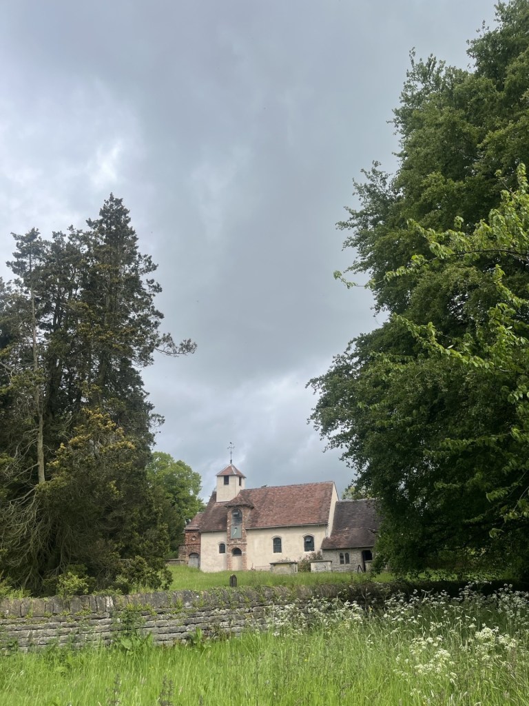
St Bartholomew’s Church from the meadow
I passed through a gate. A middle-aged couple, the woman on hands and knees and apparently weeding, looked up and smiled. “Are you hoping to visit?” asked the man. “Only, unfortunately we’re closed today.” Of course, of course it was going to be closed – during half term! He apologised of course and explained that there had been a change to the opening days, which sounded so limited I wondered why they bothered opening at all. Never mind, it was a pleasant conversation, and the man informed me I was allowed to have a wander around in the meadows just to the south of the house. “Have you come far?” asked the woman. I could have said Much Wenlock, but where’s the fun in that? “Hastings,” I replied, hoping to infuse a guilt trip. It failed to register. “You’re welcome to look in the shop.” I thanked them and said I would take the meadow wander trip instead. As I turned to go the man added that the carpark was also free today. So, that was all good! Bah humbug!
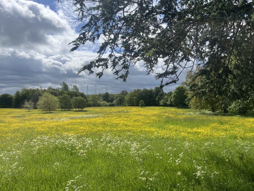
The meadow – overwhelming colour and birdsong
Having singularly failed to benefit in any way from the National Trust membership card, I drove away, quietly cursing the aristocracy (maybe unfairly) for every bad thing that had ever happened in the world. Twenty minutes later I was standing in front of the Bedlam Furnaces in the Severn gorge. The modern age, it all pretty much started here and here abouts.
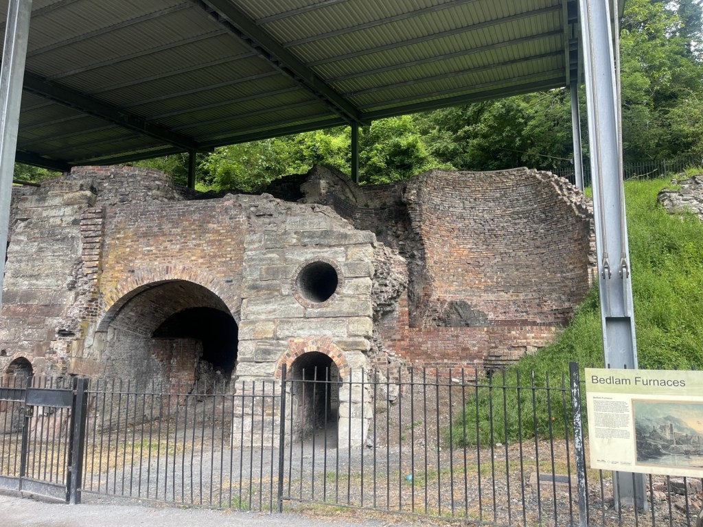
The remains of the Bedlam Furnaces
A few minutes later I was quaffing a coffee and overlooking the original Iron Bridge in Ironbridge, or course. 40 minutes free parking immediately next to the bridge made up for the disappointment of the free parking back at Benthall Manor.
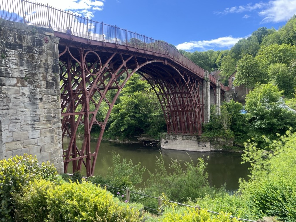
This is the modern world
I drove up through Coalbrookdale, glancing here and there at the old industrial heritage, which I later found out had just been acquired by the National Trust and was reopening after some months of closure that day. I wouldn’t have been able to get in if I had wanted to as it had been fully booked for months (there was a feature that evening on the local BBC news).
Before I set off for The Wrekin, I had one more historical site to visit, and it lay just to the north of the M54 in Wellington. On my way I pulled up at a set of traffic lights where opposite I recognised the Swan Hotel. That had been unexpected, but the memories instantly returned.
The 9th of December 2017, and pretty much on a whim, an old friend and I drove north from London to spend the night at the Swan in Wellington. There was a good reason, which I will eventually come to. On the radio was live commentary on the Crystal Palace v Bournemouth Premier League match. My friend, a solid Palace supporter and I (a follower but not a supporter as such – see all previous references to Spurs) listened excitedly as Palace went in at halftime 2-1 up. We were on the M6 and heading through Birmingham as the second half kicked off and at precisely the moment when an unexpected weather bomb kicked off too.
Reaching the M54 the snow was falling so hard it occurred to us that we might not make it to the Swan Hotel. That would have been a disaster, but an even bigger disaster was that Bournemouth had equalised, and my friend’s mood had taken a turn for the worse. We made it into the outskirts of Wellington, already under a couple of inches of snow, when Palace, with just a couple of minutes to go, were awarded a penalty. Jubilation! Except when the commentator announced that the penalty taker was going to be Christian Benteke the gasp of despair from my friend was visceral. Benteke had been a powerhouse success at Liverpool, scoring goals for fun, before moving to Palace where whatever skills he had previously possessed immediately vanished. Crystal Palace can have that effect on people. And of course, when he inevitably missed the match winning penalty we both went into meltdown, although me less so as I tried to maintain contact between the tyres and the road.
Arriving at the Swan Hotel, where we had booked rooms just for the night, my friend was in a deeply foul mood. Nothing of course that a good pint couldn’t fix before setting off to the main destination, The Wrekin Inn, where we were going to be royally entertained. Except, in the hour or so since our arrival, the snow had continued to fall, and now, several inches deep, the prospect of walking the mile or so to the Wrekin was obviously unrealistic. No worries. My friend had the answer. Uber. Uber was quite new on the scene at the time, but my friend who resided in the heart of busy London now swore by it. As I never used taxis, I barely understood the technology, but I had made some observations on our way into Wellington, and something about it struck me as perhaps being slightly behind the curve, so to speak. My friend gazed at his mobile phone and tapped away, getting increasingly frustrated. I noticed a card to my right advertising a local taxi company. I went outside into the storm and called the number. No problem I was told, a cab would be on its way soon. I went back in. “We’re not going to make it mate,” my friend cried. “Says here that the nearest Uber is in Manchester!!! Where’s that?” At that moment my phone pinged. I looked at the screen and a text message popped up. “No worries,” I said, “I prefer to shop local. Taxis arrived.”
Five minutes later the taxi slipped, quite literally, into the carpark of the Wrekin Inn. It was dark, with six inches of snow piled high on the benches in the garden. What on earth were we doing here? The answer presented itself just a moment after getting out of the cab. Another car entered the car park and pulled up just past us. The doors opened and out climbed an elderly man, with long straggly hair. And it wasn’t Jesus in his dotage either. It was better than that. It was….
We nodded and smiled and let the man and his partner go ahead of us, praying they’d make it to the door without accident.
There were about fifty similarly aged males and females in the pub. We settled down and waited for the big event.
On a Sunday night in April 1974, just sixteen years old, my friend and I and three others from school stood in a long queue in an alley that ran down the side of the Nestle’s UK offices in Croydon. At the front of the queue a locked door marked the entrance to the Fox Club, a music venue more commonly called the Greyhound. Bands playing the Greyhound were either on the way up or were on the way out. It was a venue that we had frequented on many Sunday evenings in the early 1970s, but whereas the groups we had seen to date had been known to us from the radio and TV, the act we were about to see was a complete unknown. Except to Jon. Jon was different. We were all into folk rock, heavy metal, Bowie and the blues, but Jon somehow had access to a wider source of inspiration. Jon was soft and thoughtful, which betrayed a loose association with some Hell’s Angels. In a world of random violence, and emerging from an overwhelmingly skinhead culture, perhaps that was his survival technique.
For some weeks Jon had been banging on about this band he had been listening to. From his description there was nothing about the band’s style that appealed, but when he begged us to go with him to see them at the Greyhound, we couldn’t refuse. It was Jon after all.
That evening in the alley, there was a different look to other evenings. The adults (almost everyone was always older than us) appeared to be a bit older than the usual crowd, and the denim and leather was worn more like a skin. It was nearly 7pm when a battered old white Rolls Royce slipped down the service road, stopped and then moments later the band jumped out and disappeared through the double doors. Jon, sitting on a metal dustbin, had gone into a catatonic state but managed to mumble something about God, man, before falling off his perch!
In the club we bought our drinks and watched the support band – Charlie – of whom I have no memory. Around nine the excitement was building. Well, Jon’s excitement was rising. The rest of us were still wondering why we were there. Then the lights went down, and seconds later the three piece were on stage emitting a thunderous, feedback induced wall of distortion that nailed us all to the spot. It was our introduction to the mighty Groundhogs, with the leader of the pack, Tony (TS) McPhee, diminutive and with receding hairline, centre stage, hitting the pedals and twisting notes and grooves out of his cherry red Gibson SG guitar and tearing our eardrums to shreds.
By the time I had saved up enough money for my next album, it was a no brainer. Split by the Groundhogs was already a few years old (needless to say, sadly by the time we saw them they were on the slow lane out of the scene), but it remains one of the few albums I can still put on now and be blown away each time by its dynamism, contortions, freshness and authenticity.
Sometime in 2017 my friend emailed me and asked me what I reckoned. There was a link to Facebook, and details of a gig at the Wrekin Inn. The band were the Undergoundhogs. The idea that anyone, anywhere in the world would have the balls to form a “tribute” band to the Groundhogs seemed ridiculous. But there it was. Now the Wrekin Inn is located about 150 miles from London, and it was in the middle of winter. Interesting, but that’s quite a commitment if we were going to make that journey. But there was an additional hook (and just for the record, the Groundhogs were John Lee Hooker’s backing band when he toured the UK in the 60s). The Wrekin Inn happened to be Tony’s local, and the rumour was that he would be there too! It had to be done.
We’d had a couple of beers by the time the Undergroundhogs, four middle aged men from Portsmouth, came on stage, plugged in their gear and then launched into one of the classics. They weren’t just good, they were outstanding. Perhaps having a second guitarist helped keep it all together (sometimes the complexity of McPhee’s chords and licks could undermine some of the live performances), and they ripped through tune after tune with confidence. All the time Tony McPhee, who by then had acquired multiple ill health issues, sat at the front smiling contentedly and listening to his own legacy. The night wore on and eventually, after a lot of encouragement, Tony strapped on a guitar and joined the crew in a largely discordant but ultimately life affirming solo. Whatever track they were playing, McPhee, to his credit, was playing something entirely different.
It was the last time Tony played on a stage, and he died six years later. No mention on the main news channels, but effusive tributes in the Guardian and other “serious” papers. Trying to define the Groundhogs would be impossible, and there is no point trying. They are not the sort of band that history will rediscover and then find themselves having 100 million streaming downloads, but Tony McPhee was one of the most talented and original British blues guitarists the world has never heard of. And there I go. Whilst the music was based in the Blues, what the Groundhogs did was almost everything else but. McPhee was as far from being a rock star as you could imagine. Yeah, he had long hair (mainly down the sides) and a Zapata moustache, but he wore baseball boots, ancient black jeans and no logo black vests. In the 1980s he stopped being a rock god and for some years worked as a BT engineer in south London. In the 90s and 2000s he toured small venues with a range of musicians, and my friend and I saw them a few times in pubs around north London. Some of these gigs were better than the ones we had seen at the Greyhound in the 70s, but eventually he suffered a stroke and that was the end of that, until of course, when some geezers from Portsmouth decided to recreate the music, then get in a van and drive from Portsmouth to Telford in a snowstorm to pay tribute.*
Back at the Swan Hotel, after a local taxi firm had enabled a return, it seems we had missed the big wedding fight. Who cared?
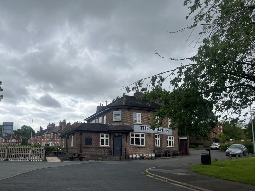
The Wrekin Inn – May 2026. One day a blue plaque will record that this was where Tony McPhee plucked his last chords. The Wrekin Inn now hosts the Groundhog Blues Club
I couldn’t wallow in nostalgia forever so drove out of the pub’s carpark and then went west. I passed under the M54, and it occurred to me that on the few occasions over many years that I had driven towards north Wales I had always noticed a strange looking hill to the south, often enveloped in mist, and wondered if it could be The Wrekin. I’d never bothered to investigate further, but as I came around a bend in Holyhead Road (which seemed a bit unlikely) I was no longer in any doubt.
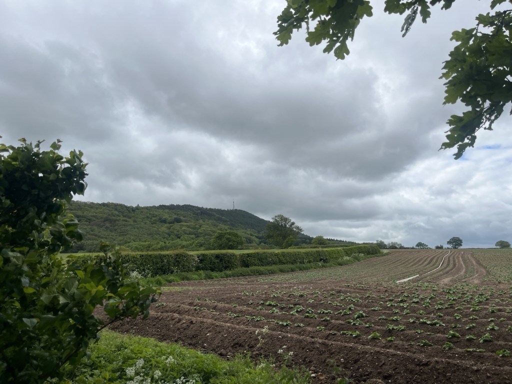
The Wrekin from the north, rising like the rear end of a humpback whale in an ocean of fields.
A line of cars on the left-hand side of the road suggested I was in the right place, and very fortunately, almost certainly in deference to the elderly, a space materialised directly opposite the start of the Wrekin Trail. Struggling with a heavy cold I looked across the road at the start of the trail and momentarily had some doubts. It was busy, with a steady flow of healthy-looking young people dressed in sporting wear entering and leaving the trail. After a few minutes dawdling around the car, checking for deflated tyres, or some hitherto unidentified defect, I donned the boots and set off, knowing that if it was too much there was a tearoom halfway up.
As soon as I stepped onto the wooded trail, I was enveloped in the pungent waft of sweat. People were running up and down the trail, but this was the intoxicating smell from a swathe of wild garlic that covered the lower slopes. It was obvious that it was only ever going to be an upward struggle and concentrating on my breathing I started slowly. It didn’t take long before I was peering through the trees and seeing the parked cars far below. A large young man in just a pair of shorts and trainers, whooping and hollering, appeared above, hurling down the path at such a speed that had he made one small mistake he was going to be seriously regretting his lack of clothing. Shortly afterwards a couple of women jogged past me on the way up. A collapsed tree to my left gave me a good excuse to stop for a minute and pretend to show an interest whilst I refilled my lungs.
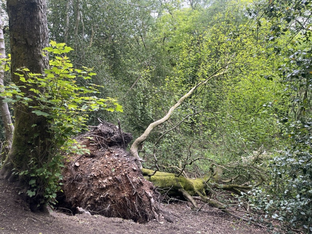
At a point that I was already prepared to lay down and exfoliate slowly
I continued the trail. The cafe had to be nearby. A sharp bend in the path to the right increased the gradient (great!) and after putting in the effort I was outside the Halfway House cafe. As welcome as that was, it felt slightly premature. I couldn’t have been walking for more than twenty minutes or so. Anyway, a cup of tea would have been welcome. Except, it was closed! The knowledge that there would be a refreshment stop on route had been one of the motivating factors that had got me to put on the boots. And now there wasn’t. I walked on a few paces and stopped to look down a trail. At exactly that moment a female roe deer walked nonchalantly into a glade twenty meters away, stopped, stood stock still then looked directly at me. It took about five seconds to conclude I might be a threat and was suddenly on its toes and way, followed by a second smaller female that didn’t stick around to reach a second opinion. I would have happily called it a day at that moment, but I still had an objective.
Around another sharp bend, this time to the left, the path carried on in a relentlessly upward trajectory. I was still having problems with my breathing, but with the continued steady flow of joggers and seriously fit runners passing each way, I felt obligated to carry that weight and plough on. Here the trees began to thin out, with views opening to the west and north. It was getting impressive.
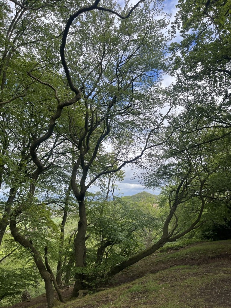
Looking north through the woods
The wide track again decided to up the ante but increasing in degrees. Lorks! Plod, plod on. At the top of this challenging stretch, it began to flatten out, and the next two hundred meters was the first opportunity to relax a bit and generate a bit of movement. I should say, for balance, that under normal circumstances this would not have been such an arduous affair, but I do want to emphasise that I was suffering a severe case of man flu (not that I am after any sympathy, but…).
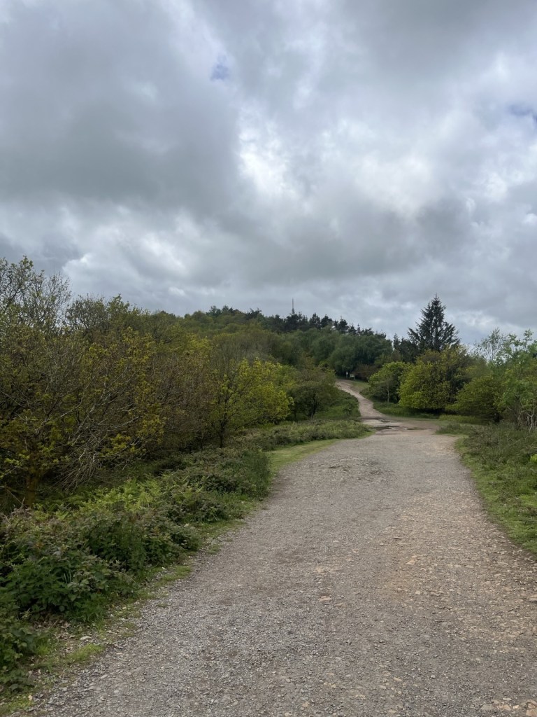
The easy bit
It was hard to know if I was getting near the top, but at the end of this benign stretch a notice board appeared and demanded some attention.
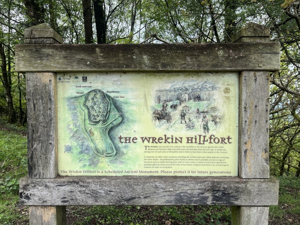
Surprise, surprise, an Iron Age fort
There was no immediate evidence of any earth works that supported the argument that an Iron Age fort had existed here, but it didn’t surprise me. The wide and well-worn path continued to snake up through the trees and then beyond onto something more like a plateau. Directly ahead and up I could see the easily identifiable feature called Heaven’s Gate, as advertised on the information board.
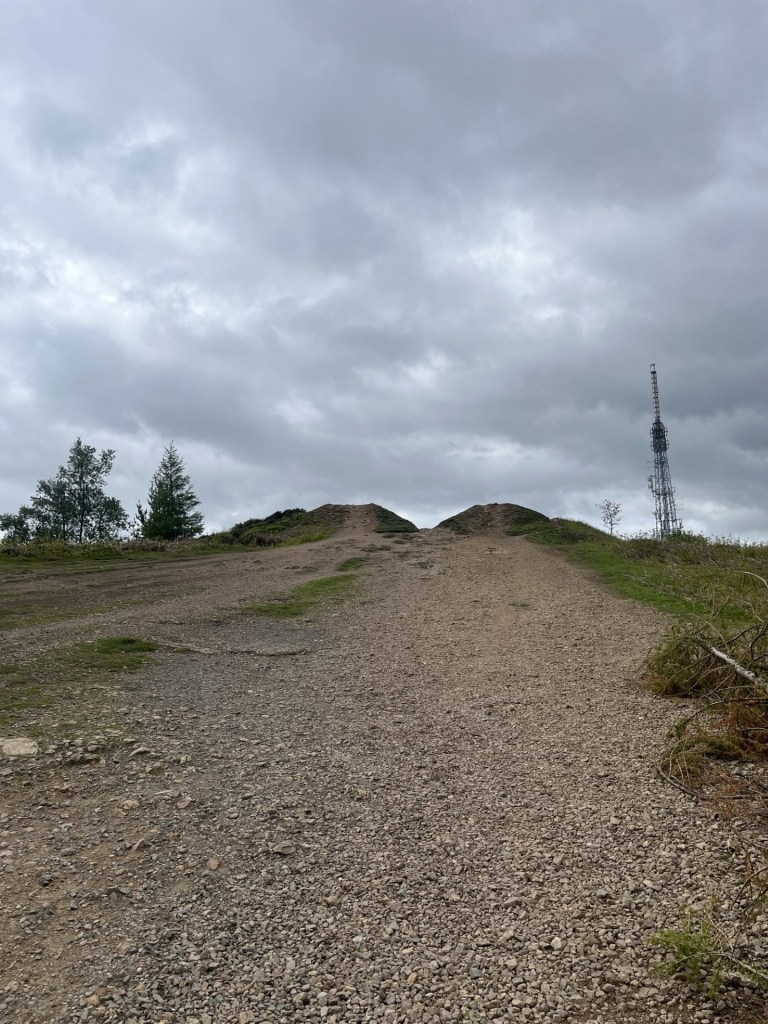
Looking up at Heaven’s gate. Almost certainly named by a man.
It was the obvious route up, but frankly I was a tad fagged by this point and so wound a gentler approach to the top by flanking to the right, and above the scattered buildings associated with the telecommunication towers. Now above the tree line the view was expansive.
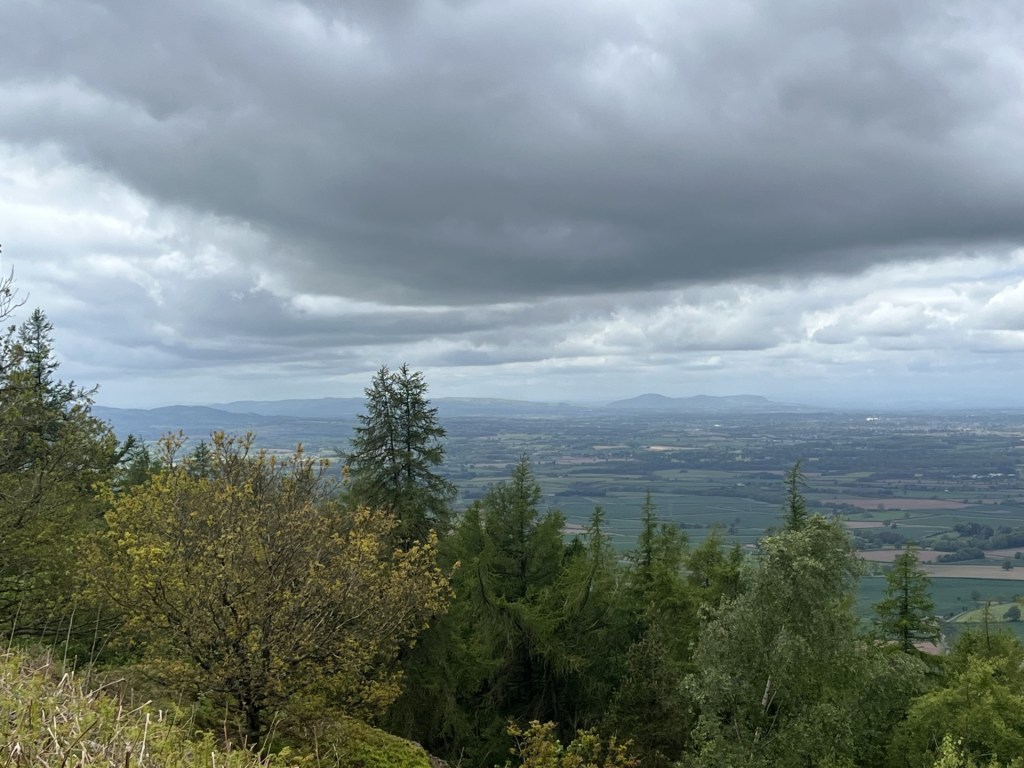
Looking southwest towards the Long Mynd
Having reached the top of the plateau the landscape had almost completely lost the trees, except one sturdy survivor, and the shape of the hill now clearly defined.
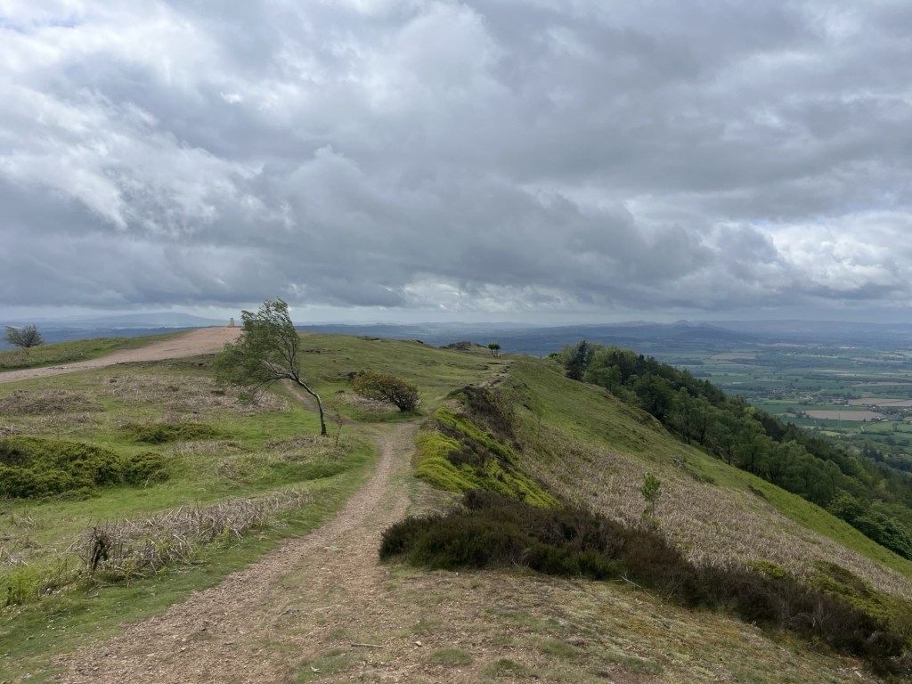
How to spot the direction of the prevailing wind – just in case you need to know.
Looking west the view was sublime. A quilted landscape of fields rolled away towards the horizon. Many of the fields were in full arable mode, but it was quite easy to see, by the lighter perimeters, that at least one farmer was applying the “arable field margin” principle of setting aside sections of land for wildlife (I had seen this for the first time the day before when I conquered the top of Solihull). Regardless of whether this approach genuinely benefits natural diversity (I’m certain it does but of course there is an argument that it therefore reduces agricultural yield), the new pattern of farming that I could see before me appealed. The familiar view of an industrialised landscape of maximum growth, hedge, repeat, was broken by the extra layer of wild texture at the fringes. I liked it.
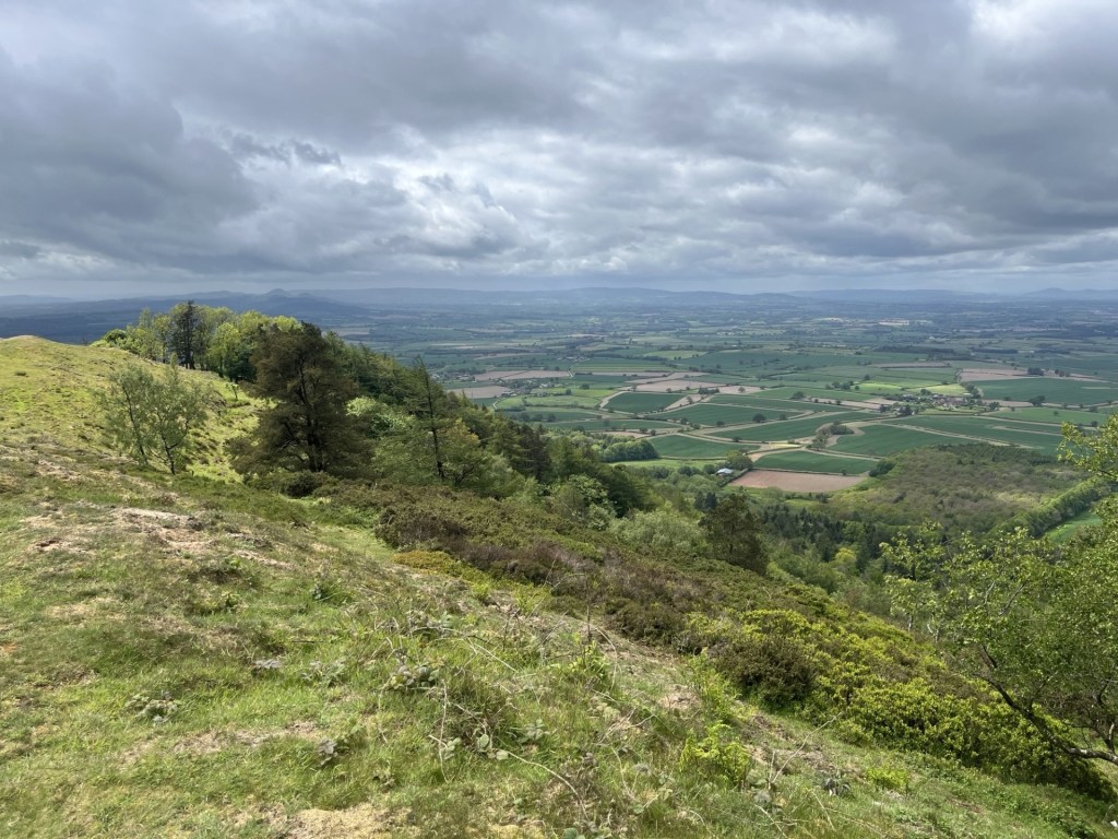
Evidence of the “arable field margin” approach in the fields just below the slope
For the moment I flanked around the top heading along the ridge to the south and an enticing rock outcrop, which I clambered up and then, finding a comfortable niche in the stone, squatted down to survey the land.
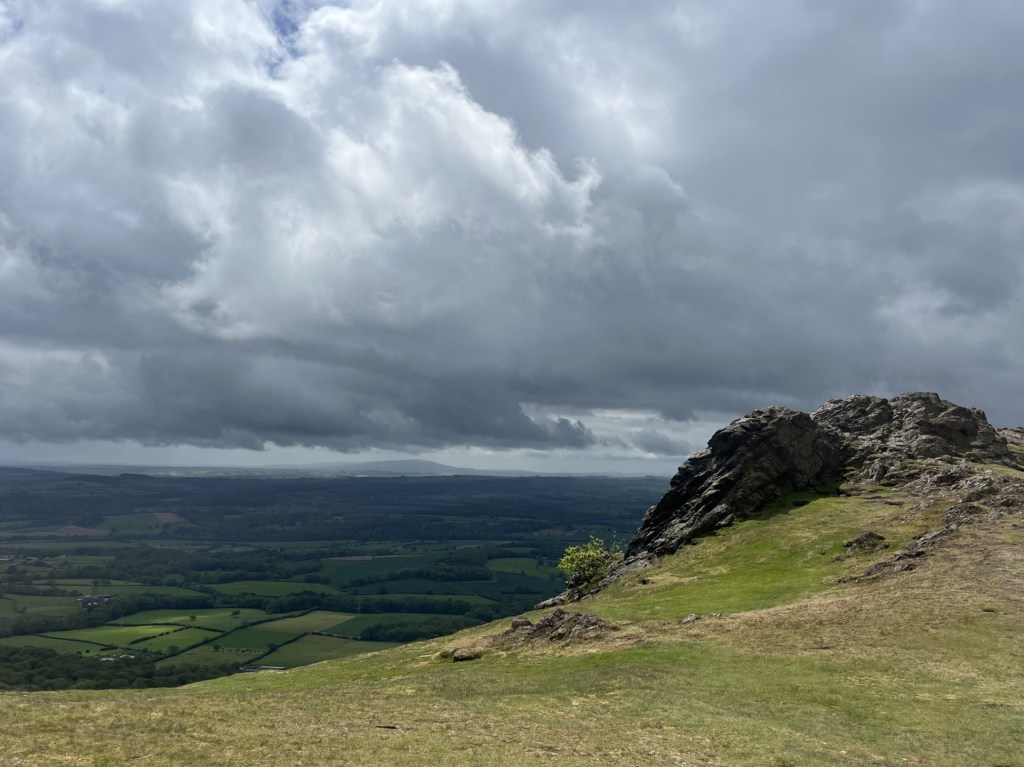
The rocky knoll
I could see for miles and what I saw pleased me. Hills disappeared east, south and west. After fifteen minutes of peace and awe, I set off back, and this time up to the highest point. I would have taken a photo of the trig point, but a woman with a large dog, and talking loudly on her phone, occupied the plinth so I made do with a shot of the toposcope instead.
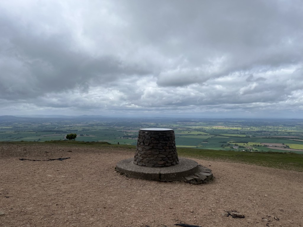
Barren view with toposcope
The track led on back to Heaven’s Gate. There was no avoiding the obvious reference, and something about its form, presumably shaped by over two thousand years of human contact, caused me to avoid walking directly between the two mounds.
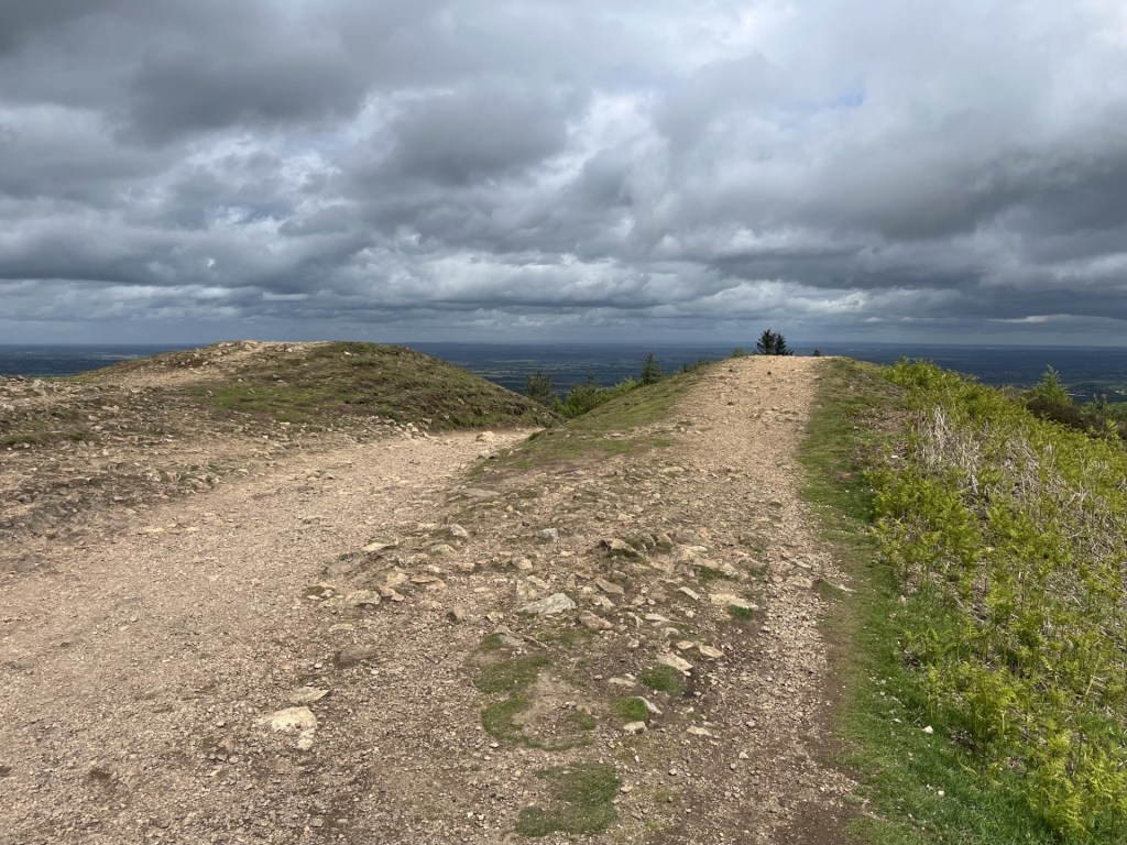
The approach to Heaven’s Gate – named almost certainly by a woman.
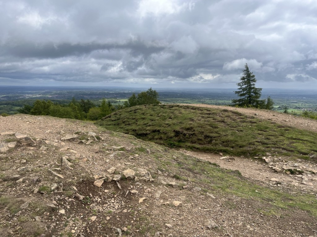
The great avoidance
Curiously, the walk down was much easier than the walk up. Near the Halfway Cafe (still closed) a robin alerted me to its presence in a nearby tree. The high intensity birdsong had been evident throughout the walk, but here was some close-up evidence.
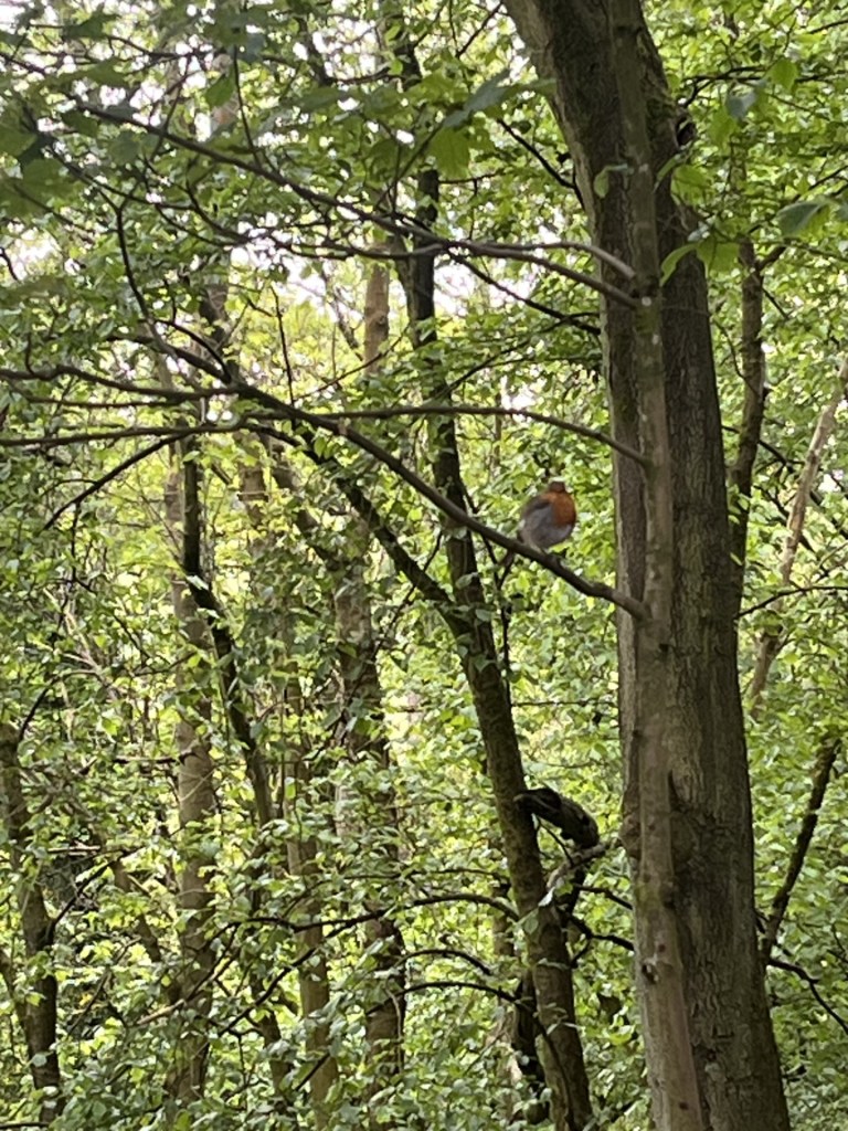
Today’s bird of the day was a robin.
It was all downhill after that, and after thirty minutes the now familiar smell of wild garlic welcomed me back to the start line. Despite wheeze bagging it to the top the Wrekin was a small gem. Very popular, even midweek, but that’s what it’s there for. Over 700 feet of elevation. There’s more to the Midlands than meets the eye.
I wonder if Uber has reached Telford yet?
*A few weeks back my daughter’s partner sent me a text to say she had just been talking to a woman in their street who told her that she was married to the drummer from the Groundhogs! Huh?? A little bit of research and I worked out it was Ken Pustelnik – the drummer who played on the early albums, but also the classics, Thank Christ for the Bomb, Split and Who Will Save the World. 80 years old and still occasionally performing his version of the band. It’s true, the world is smaller than we think.
A last word on Tony McPhee (yes, sorry for the major digression above). He was down to earth, totally unassuming, a humanist and despite the hard rock appeal, wrote intelligently on the instinct of mankind to desecrate everything it touches. He wasn’t a hippy, but he was a visionary. This is from Who Will Save the World – 1972. Someone brave should play it on Radio One. Thanks Jon (RIP).
From Corley Moor, the highest point in Coventry Metro Borough, it was just a short drive to Chapel Green, then a left down Fillongly Road and at a point in the road that bore a resemblance to my mind map of the area, a muddy layby appeared on the left and I pulled over.
A hundred meters ahead, on the other side of the road and beyond a hedge, a line of trees marked where dense woods met a large field. I climbed out of the car. This wasn’t going to take long. As I started down the road, a car pulled round the bend in the road to the south and abruptly stopped at a layby on the opposite side of the road. The driver’s door opened and out jumped a man who, without further ado, marched beyond the car and up to the hedge, where quite obviously he proceeded to have a leak. It might have been just at that moment that he saw me approaching on the other side of the road.
To protect his modesty, I naturally slowed my pace and pretended to look at something that might have been interesting beyond the trees on my side of the road. Whatever it was that I was interested in failed to hold my attention for too long and by necessity I continued in his direction. By now he had finished his essentials (at least I assumed he had, but I’m sure most of us – men – have been in that unsatisfying position of being desperate, only to be denied for some unaccountable reason), and had skipped back into his car. He drove on and I crossed over.
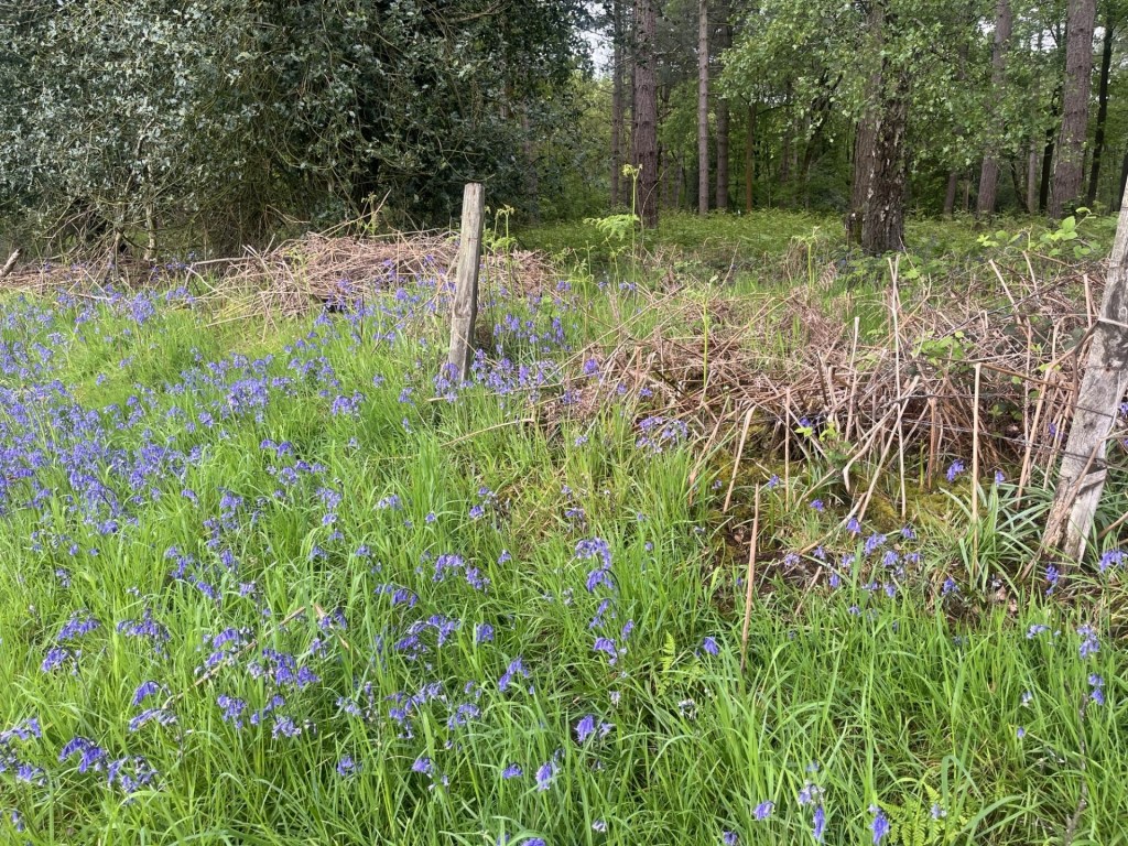
Just past the layby a gap in a fence gave access to the woodland, and just to the right another gap in a fence gave access to the north facing field. The field was cultivated, but a wide strip of land adjacent to the woods suggested some form of set aside, which I now understand to be a “cereal field margin”, land that is left uncultivated to encourage wildlife diversity. I’d heard of it but as far as I could remember, never actually seen it before. It looked great. I’m sure that there are arguments against such wokery, but it makes sense to me.
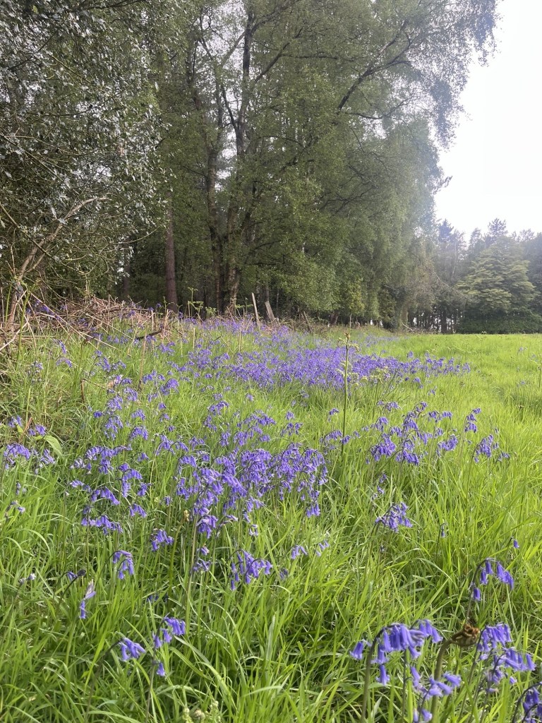
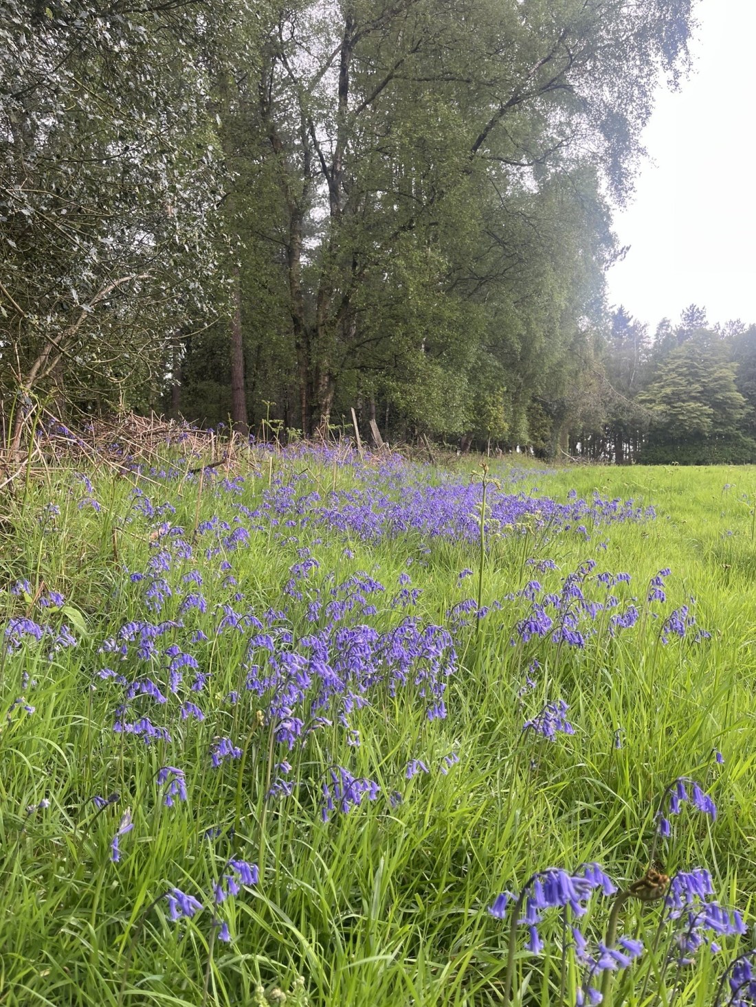
I walked towards the top of the field and along the edge of the woods. Ahead, spilling out of the woods and into the margin, a wave of bluebells in their prime. Quite a surprise given that all around me down south had come and gone already.
On the crest of a wave
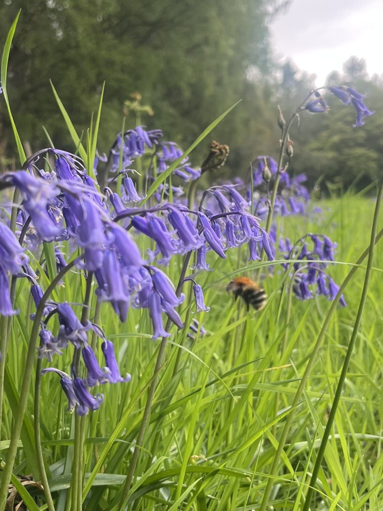
I stopped and noticed a humble bee dancing between the flowers coronets and got down close to observe. Despite my close proximity, it had zero interest in me. Too fixated on task and outcome. I recently heard that a worker bee only lives a few weeks and, in that time, makes, creates, generates, just a fraction of a teaspoon of honey. No retirement, no pension, just a grinding few weeks contributing to the greater good before it’s all over. I can’t predict the future but with AI and the ever-continuing concentration of the world’s wealth by a small few, maybe there was some sort of metaphor evolving in front of me.
Inspecting the larder
I carried on a short distance. There was a gap into the woods. I entered, but only just. Somewhere around this point was Solihull’s highest elevation. Although Peak Bagger names the highest point as Meighs Woods, their own map seems to suggest the woods I was at were called Stocked Woods, and Meighs Wood was over the road where I had parked up. I looked back out and across the field. A leaden sky, but the forecast was for something different. Up until a day or so before the nights had been cold, and the days cool and stormy. By Friday that was all going to change.
The high point – Stocked Woods
I drove away from the layby. The destination was Much Wenlock for three nights. Whilst I had reached the highest point in Solihull, the road I took to get me back onto the M6 somehow managed to avoid contact with any of the town’s urban sprawl. Oh well, so it goes.
Some years ago I had to take some personal papers across London and meet with a man to go through a few things and then sign some forms. We met at Wandsworth Town Hall and the man, probably mid to late thirties, showed me down some corridors and to an office where, after about thirty minutes, everything had been sorted. I went to leave and he said he would show me back to the entrance. I said I thought I could find it, but he was insistent.
As we walked back along the old municipal corridors, making small talk, he quietly muttered something. I didn’t quick catch what he said so I said, “sorry, what was that?”
He muttered again. I still hadn’t caught his drift. He seemed to be talking about a well-known trade comparison site, and I hadn’t a clue why. “I’m really sorry, but I don’t really understand.” And I surely didn’t.
“Checkatrade,” he replied, and as if that was in someway helpful. It must have been the look of complete bewilderment on my face that convinced him I really didn’t have a clue what he was taking about.
“I saw you’re birth certificate,” he continued, still unhelpfully.
Hmmm…
“I was born in the same hospital as you,” he clarified.
“Blimey,” I replied. “What a coincidence. Many years after me I assume.”
“Yes,” he replied. “Checkatrade.” I wondered if he had a mild form of Tourette’s before surrendering, pleading for an explanation and doing so in a way that avoided offence.
“Coventry. Checkatrade Trophy!”
“Right!”
Of course, it all made total sense. Why was I dim enough not to have known that Coventry had just won this prestigious, but otherwise unknown competition.
The last time I had been to Coventry I had just turned fifty, and that was nearly two decades ago. The time before that had been my first few months on earth in 1957/8, and being a baby living in a flat on Wappenbury Road in the northeast area of the city.
So, given that I was on my way to the highest point in the Metropolitan Borough (a first on this mission), at Corley Moor, I left the M6 at junction 2, headed south into the suburbs and then became gridlocked in traffic around a large secondary school where one in three students were being picked up by extended family. This mayhem obviously happened every day. It’s not for me to comment on this phenomenon, but from memory I don’t recall anyone at the schools I went to being picked up in a car.
Having eventually escaped the carnage I wound through the estates and finally made it to my street.
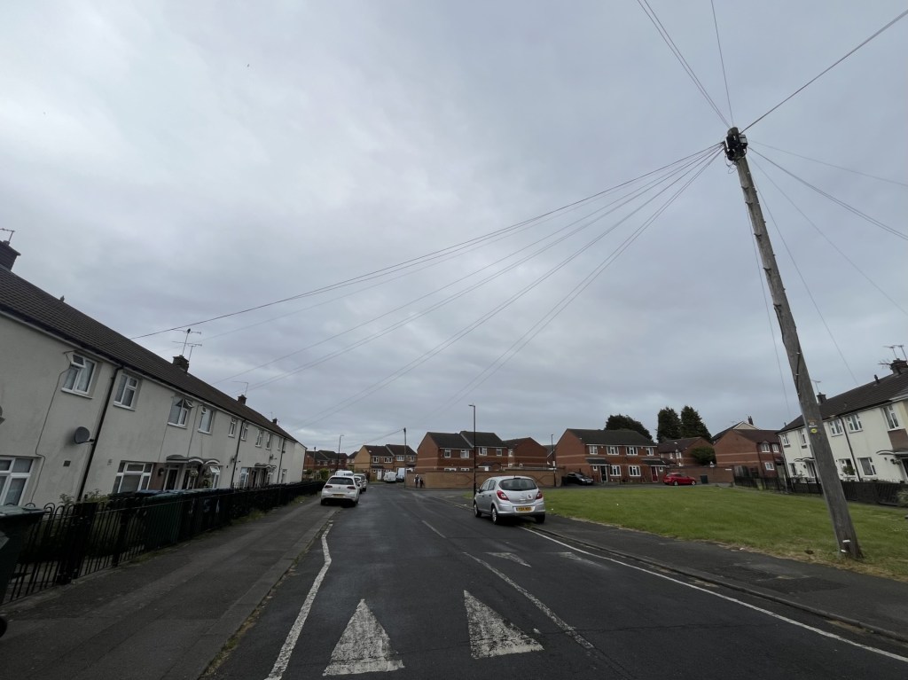
Wappenbury Road – the flats have gone, and there’s still no blue plaque!
Having reached my first destination, I wondered why I had bothered. There was nothing to be nostalgic about, given I had left before my first birthday, but I guessed it was about a sense of place and just plain curiosity.
I carried on weaving my way along streets in the northern suburbs of the city. I think I did catch a brief glimpse of the old cathedral spire, but there was no time to explore further and eventually I was out of the city and heading through largely agricultural countryside.
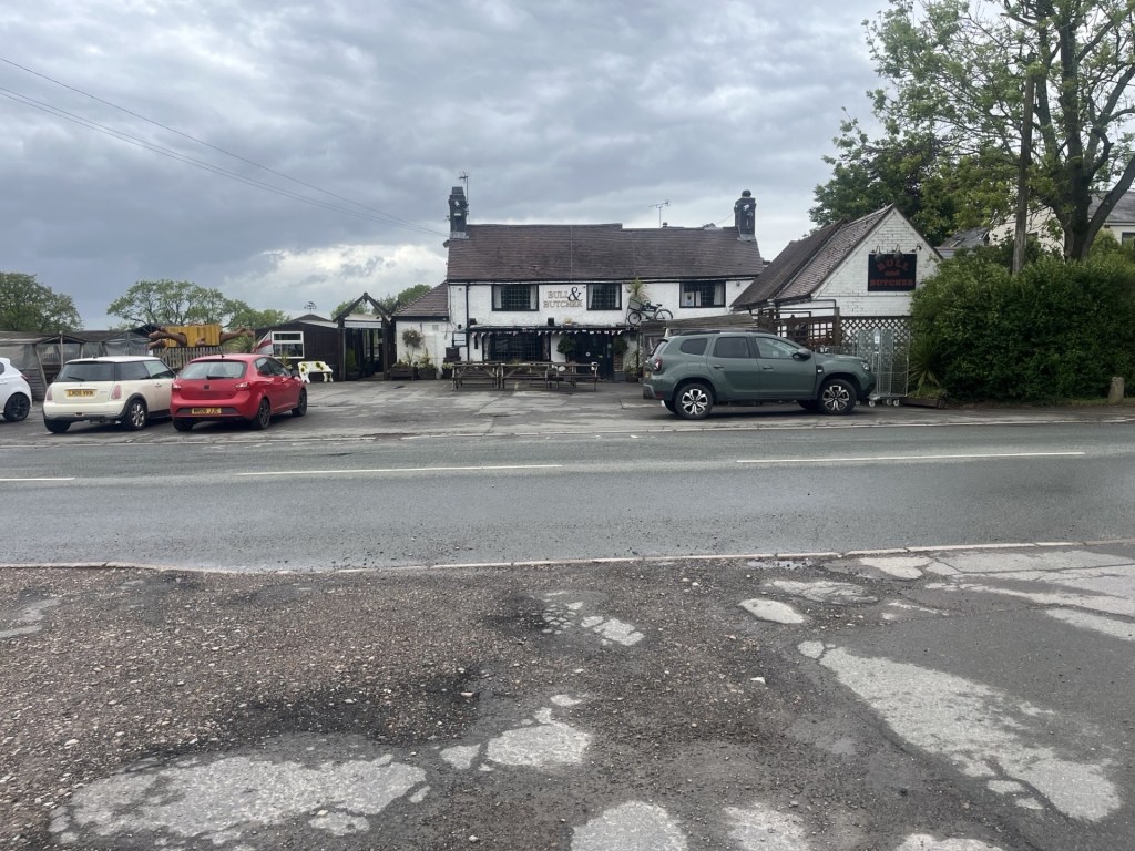
Reaching Wall Hill Road I headed northwest and a short time later passed over what I knew to be Coventry’s highest spot on the same road. I pulled over a couple of hundred meters on at the carpark of the Bull and Butcher Pub.
The Bull and Butcher – Nothing more to add on that.
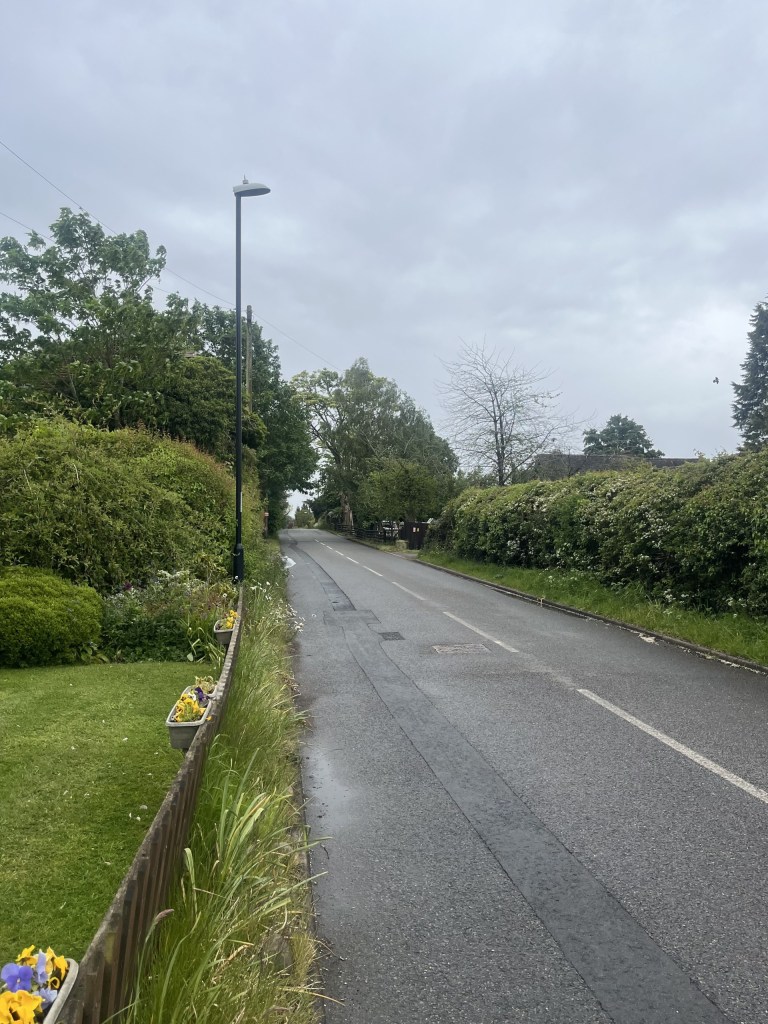
Getting out of the car I wandered back down the road on a pavement that terminated outside the last house on the left. I could see the highest point on the road that I had driven along. I wasn’t tempted to get any closer, largely on the basis that there was absolutely no point, and also because it looked decidedly dangerous.
That’s it – the highest point in Coventry, just up the road.
And with that I got back in the car and drove out of the small village, which boasted another pub just a stones throw from the Bull and Butcher! Nothing particularly special about the place but it would be remiss not to add that by the end of today (the 24th May 2026) Tottenham Hotspurs could be relegated from the Premier League. Two weeks ago, Coventry City were promoted to the Premier League after an absence of twenty-five years. Well, if the Spurs do go down today, at least I’ll have someone else to support. It’s a jungle out there.
I was listening to the radio recently and a woman was being interviewed about her project. The project, an original idea (if such a thing exists), was to try and eat the food of every country on earth, in London. That’s just short of 200 nights out, take-aways or gatecrashing cultural events. She seemed confident that she was going to be able to achieve her ambition.
From the Peak Bagger list of county and unitary authority high points in the UK there are, in total, 186. As the months have gone by it has become increasingly obvious to me that far from being the niche activity I thought it might have been when I started in May 2024, bagging these locations appears to be a mass participation hobby/sport/pastime/mission, whatever you want to call it.
Nothing confirmed this more than, whilst flicking through December 2025’s edition of TRAIL*, there was a two-page feature on bagging county tops!!! It featured ten very different types of locations, of which remarkably I had done four (if you include High Holborn in London which was on my original list but doesn’t feature in the Peak Bagger list – something I will need to explore further).
What was all this information telling me? Well, when I started off, I had no notion whatsoever that loads of people were already trailblazing the territory, some writing up their experiences (including at least one book) and others just doing it for the sake of doing it. I’m certainly not hung up about it, and in fact it has been useful to find out that others have already been before, but as I listened to the young woman explain how she was going about sampling all of the world’s cuisine without leaving London, I wondered if I had perhaps missed a trick.
It’s too late now, but I realised, in hindsight, that if I was going to start this all again, I would have done it differently. Instead of trying to get to the highest point in every county (and then with the compilations thrown up last year, unitary authorities as well), I should have targeted instead the county and unitary authorities second highest points. Try and find that on Google?
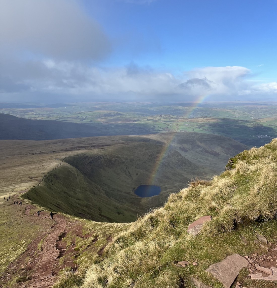
Overall, I think it’s fair to say that good progress was made. No big trips to the north, which just delays the prospect of me ever managing to chalk off the remaining big ones, but two excursions into South Wales proved fruitful and fulfilling, and in the process discovering the magnificent Head of the Valleys (the clue is in the name) dual carriageway, and eventually reaching the top of one of my now favourite spots anywhere; Pen-y-Fan. During the hottest of hot summers, I smashed East Anglia and was reminded how big an area of the world it is. Sadly, in March 2026 my father experienced life’s last great event and my focus naturally turned elsewhere. It may be a while before I get back into a rhythm, but just to keep my head above water I recently managed to visit two spots in the north Somerset area.
It would be remiss of me not to mention the huge elephant in the room, or on the moor, or in the suburbs. Local government reorganisation. In the last few months, details of potential frameworks for the reorganisation of counties and Unitary Authorities have slowly emerged. One such example is Essex. In 2025 I conquered the county top of Essex, and the Unitary Authorities of Southend-on-Sea and Thurrock. Job done. Not if these proposals go through. Essex will be entirely governed by five new Unitary Authorities. Suffolk, which was also ticked off in 2025 on a single outing, will now become three. My own county of East Sussex, along with Brighton and Hove and West Sussex, could become four or five new authorities. Whatever the outcome there will be at least one more top to visit in the historic Sussex area alone! I’m not sure I have the puff for that, but challenges change. The biggest challenge will not be for me, but for all the online sites, documents, maps, guides and books that will have to be amended, updated or just given up on.
And finally, there’s Bristol. I chalked off the top of Bristol last year, by visiting the Cossham Hospital site and surrounding area, the traditional high point of Bristol. Except, out of the blue, on my phone a link to a local press article appeared that explained new research had discovered that the true high point was East Dundry Hill, far to the south of the city. Given that the boundary change that created this scenario had occurred some decades before why had it taken so long for it to be recognised? To that end, Bristol remains outstanding, but at least I can say that I’ve reached its second highest point.
*In a sad twist of fate, having read TRAIL in full for the first time, and deciding that I would like to subscribe, days later I was told that the December edition was its last! These are difficult times but the demise of the written press can only make it worse (he says as he posts again online).
An Afternoon in the Mendips part 2: In Amongst the Lamas
Having ticked off the top of North Somerset I drove a few miles east (with the ever-present radio transmission of endless and forever Mandelson and Trump news updates vomiting from the speakers) and parked up at the Forestry Commission East Harptree carpark just off the Smitham Hill road. The next objective was Niver Hill, the top of Bath and North East Somerset Unitary Authority. North Somerset had been a brief drive by, and so I needed to stretch my legs.
Two or three cars were parked up but it was a tranquil spot, and if I had paid attention to the information board might have taken a stroll over to the nearby historical Smitham Chimney that apparently lurked in the trees to the west. Hindsight and Google maps.
Instead, unaware of the chimney’s towering brick presence, I walked the track back to Smitham Hill road, turned left and ambled down heading north.
Depending on the map you look at the tiled roof is either Springfield Farm or Pit Farm!!
Just before Springfield Farm I turned right and then southeast up Nettwood Lane, with fields to the left and bluebell enhanced woods to the right.
Pretty in blue
At the end of the wooded section a footpath headed directly east but I bore to the right and on the straight track up towards Nettwood farm at the top of the hill. At the entrance to the farm, I stopped and looked directly east towards a cluster of trees on the ridge about 300 meters away. Having looked at various maps months earlier I knew that the high point was located just by the last most northern tree, but there was no obvious route across the field from the farm.
The high point, just at the last tree on the left
It wasn’t to be and sometimes you just have to accept it. From the position I was in I felt as if I was at a similar height and decided I had done enough. Heading back down a couple of space aged yurts appeared in the first field. I enjoy camping, but this looked a bit too artificial (maybe I need to get over these prejudices).
A pod of yurts with a view
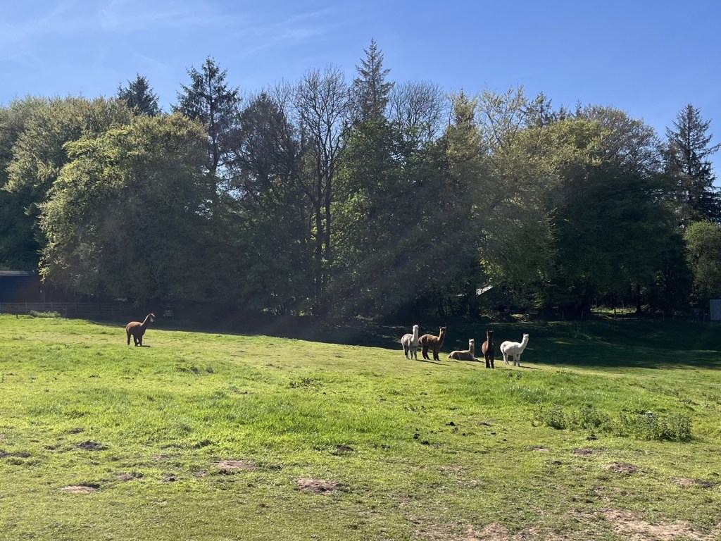
A bit further down and another field presented a gathering of curious lamas. As I walked on by, they stood stock still and gave me the unwavering eyeballs until I had passed. I guess they thought I might have been a food bringer.
Maintaining their gaze
Back at the car I felt that I had enough time to do part three of the Mendip challenge and get to Dundury Hill East, just to the south of Bristol, and what has recently emerged as the top of Bristol Unitary Authority after previously being reported as Cossham Hospital which I had ticked off last year.
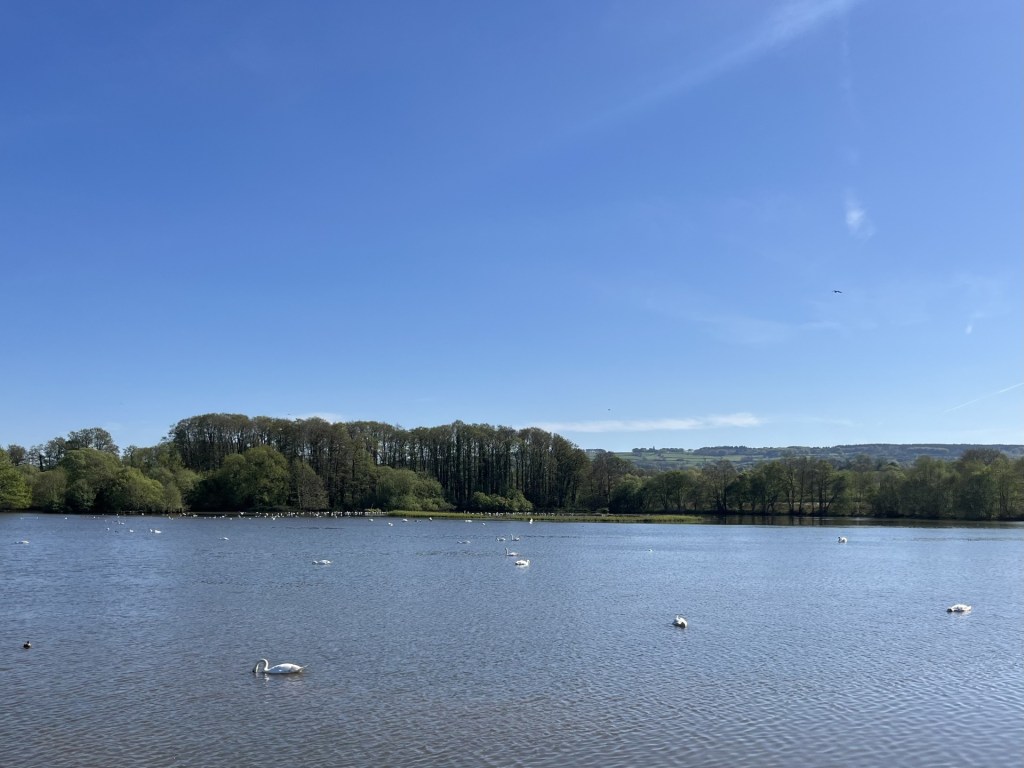
I drove north, first through East and then West Harptree and then on the A368 towards Bishop Sutton. By now, unless I was to get very lucky, my time was probably up, and so when a lay-by appeared next to Chew Valley Lake, I pitched up and bought an ice cream from the van that was doing good business. Unfortunately, the ice cream (that came in at just under £4) was an overwhelming disappointment (Mr Whixxy) and I fought a desperate battle with the heat to lick as much of the abysmal product down whilst simultaneously looking out at the birds on the water, the buzzards in the air, and the view across the lake and back towards the trees on the hills beyond that marked Niver Hill and the point I hadn’t quite achieved.
The view back to Niver Hill (try taking a photo at the same time as preventing a total ice-cream disaster)
Dundry Hill East would have to wait another day, but as I drove towards Bristol city centre, the Peter and the Donald stories continued to remorselessly dribble out from the speakers. I figure that what we need more of is Jonathan Richman and the Modern Lovers and a little less Mr Whippy’s.
In February 1999 (it says it on the internet!) I managed to see Johathan Richman at the Jazz Cafe in Camden Town. I can’t remember if he played Ice Cream Man, but that didn’t matter – he was simply magnificent.
An Afternoon in the Mendips part 1: At the End of the Lane
The day had got off to an expensive start. I had spent the night in London at a friends and was aiming to be in Bristol to see my daughter by the end of the day. Time was on my side, and I figured that unless the roads were trouble I could knock off the three Unitary Authority tops south of Bristol and west of Bath.
High pressure had been sitting over the country. The sun beat down on London stone and streets as I headed south towards the Marylebone Road, and the slightly complicated junction at Baker Street that takes you west and away. With the intense light and the glare pinging off anything metal it took me a minute or so to work out that instead of heading south on Baker Street, I was instead heading south on Gloucester Place. No worries.
Except, as the lights changed at the Gloucester Place junction with Marylebone Road, I suddenly caught sight of the big red C sign, and instantly knew there was no escape. I’d tripped the congestion charge trap and there was no avoiding it. To be honest it wasn’t so much the fact that I was now foolishly out of pocket (and I didn’t know what the damage would be), but that at some point before the end of the day I was going to have to engage with my phone, and all the torture that might entail, in order to pay the fee.
On the Westway heading west, I noticed that most of Grenfell Tower was gone. Not all of it, but its demolition had escaped my attention, and it was obvious that the skyline had changed. It was nine years on, but it felt like it had happened yesterday.
Whilst the congestion charge was still in my mind, I stopped at Heston Service station on the M4 and set about trying to pay my penalty. After nearly creating an account to pay the charge for a large city in the United States, I eventually got to creating an account for the London charge. It should have been easy, but needless to say it wasn’t, and after fifteen minutes of having to come up with passwords, memorable dates, locations and maiden names, whilst the coffee got tepid and my hot pie went cold, my multiple attempts to register were eventually rejected and I was told to phone a number.
I phoned the number, desperate to speak to a human. That state of nirvana remained elusive as I sat in the sun clearly and loudly giving my verbal staccato answers to the AI machine asking me all the questions. Remarkably, after just five minutes, and with very few repetitions, I was told that I had succeeded in paying the charge and had learnt a very important lesson.
I was beyond Bristol by 2pm and heading south on the M5. At the familiar junction 21 for Weston Super Mare, instead of heading for the coast I went inland to Congresbury and then south, eventually making it onto the A368 Bath Road.
Here the road began to rise out of the Somerset Levels and east into the Mendip Hills. The village of Rickford and surrounding countryside looked magnificent and somewhere worth returning to in the future if the chance arose. A mile or two further on and I was in Blagdon, with its curious mixture of architectural styles, including a number of buildings, clearly old but not that old, sporting a cross between Tudor and Swiss chalet. Somehow it all worked though you could be confused into thinking you were anywhere other than the Mendips.
I stopped in the free carpark next to the Community Fire Station to get my bearings. Once that had been achieved, I set off and was about to turn right at the exit when I noticed an overdressed middle-aged man jogging up the hill and towards the car. I paused. Instead of running past me he slipped round the car and into the carpark. I looked right, with the intention of setting off, and another middle-aged man, overdressed of course, was jogging, this time down the hill. Strange activity anywhere, until it dawned on me that with the Community Fire Station just behind me, they were volunteer firefighters on a “shout”. If the weather keeps on like this, they’re going to be in for a busy summer.
Back on the road I headed up into the village and then south and up the multi-potholed Street End, that wasn’t an end, but which became Rhodyate (?) as it headed out into the county and hills above. After a few wiggles in the road, it straightened out and headed on up with a fine line of trees lining the side to the left. The road was called Two Trees, but something had clearly happened since it was named.
Turning left onto Leaze Lane I was close to the top. I drove on to the end, with fine views extending down to the Bristol Channel and Blagdon Lake. At the end of the road, I pulled up. There was no obvious parking space, and a woman, presumably from the nearby farm complex, was going through the recycling bins. I got out of the car to have a gander.
The view towards Wales and Sugarloaf (north by northwest) where this whole madness began
A lane headed south and continued up to the top of a rise. Whilst I understood that the top of North Somerset was at the edge of the field immediately in front of me, I wasn’t entirely sure where the county boundary ran, and whether perhaps I ought to go up the lane, just to be on the safe side. In the end, with nowhere to safely park for a few minutes (a Waitrose delivery could arrive at any time), and without wishing to worry the woman further (albeit she was probably used to strangers turning up to tick off the county top), I decided to turn around and leave. As it happened, and double checking later, I was in the right place, with the high point of 242 meters just to the right of the hedge 30 odd meters on from the telegraph pole in the photo below
The highest point in the Unitary Authority of Slough, at 51 meters is, along with the Isles of Scilly, the fifth lowest high point in the County Top challenge (Peakbagger). Which implies that as a group of islands, the Scilly’s must be much lower than I had assumed and at serious risk. If I ever get there, I’ll double check.
I’d spent the night in an hotel room in Newbury (having reached the top of Walbury Hill in West Berkshire the day before) and was heading back to South London to recommence duties. Sleep had been illusive after the phenomenally annoying drunken behaviour of the guys staying in the rooms either side of mine, which only finally tailed off around 3am. Once upon a time I might have made a fuss but frankly I chose to avoid confrontation.
Reaching East Burnham Park, the highest point in Slough (and being frank again, don’t get excited), would complete the County Tops in the Thames Valley. I drove east on the M4 and turned left towards Sloughs suburbs at junction 7. Turning left again at the first roundabout and onto the Bath Road I caught a glimpse of a road sign directing motorists towards Dorney, Taplow and Dorney, named, obviously after three of the four stand out twenty storey tower blocks on Adelaide Road in north London. The one missing from the sign, which would have completed the set, was Bray, where our son was born in 1986 (on the 14th floor to be precise!).
North through Burnham and onto the Farnham Lane, which seemed to define where the surrounding country met urban Slough. I pulled over on a slip road of Farnham Lane opposite Crown Lane, a small road heading north towards Burnham Beeches. *
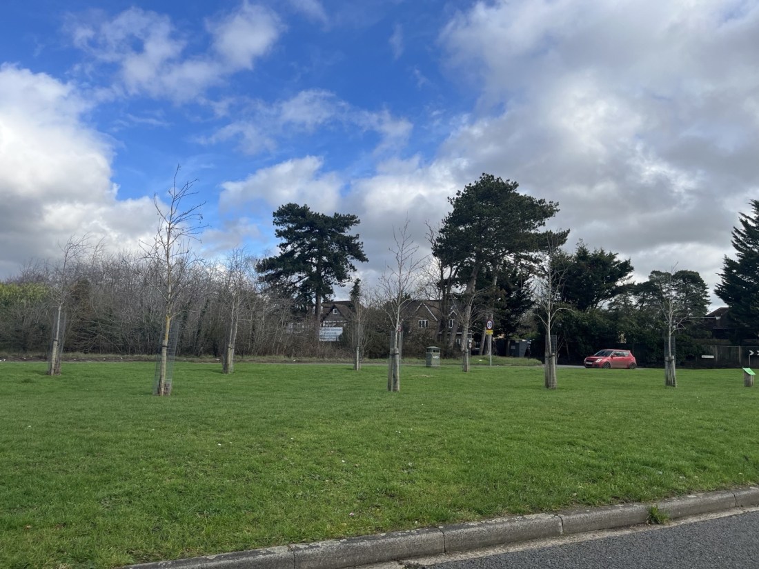
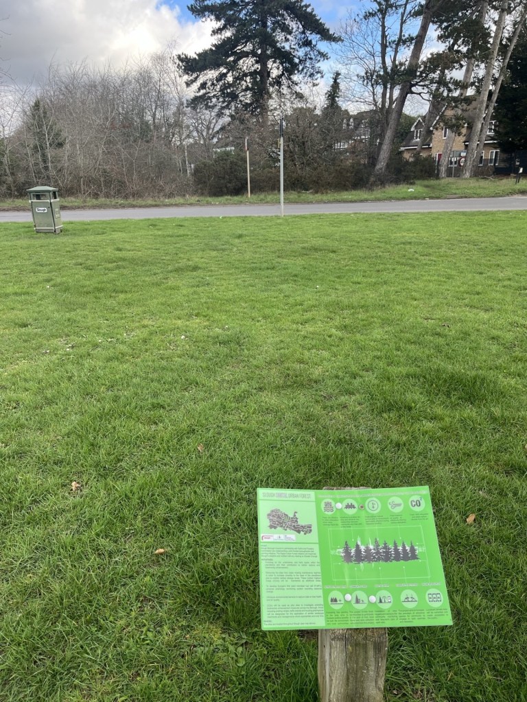
From what I had read the highest point was just beyond a hedge and fence where Crown Lane met Farnham Lane. I stepped out of the car and walked across an open area of grass, planted in places with young trees. A small sign explained that the land formed part of the Slough Digital Urban Forest. Some of what followed made a lot of sense, “biodiversity”, “Carbon Capture” etc, but it had been the use of the word “digital” that immediately closed my brain functions and left me scratching my head in disinterest.
A digital forest?!
What did catch my eye was a lonely litter bin sited near the road (see photo), but without any connection, from what I could see, to any potential meaningful interaction with intended clients. Maybe it was part of Slough’s Digital Waste Space initiative.
I looked across the road and to the junction with Crown Lane. The high point marked on the Peakbagger map sat just back from the road and in the trees. I don’t know why I didn’t bother to cross over the road for completion’s sake, maybe there was a low fence or something, but I concluded I had seen enough, and indeed a later check suggested that where I stood was the same height (51 meters).
The big tree on the left probably marked the spot
County Top number 50. Tick.
I drove back towards the M4 the way I had come, until I realised, I was somewhere I hadn’t been before. Ten minutes later and I was slap bang in the midst of a huge industrial/retail park sitting to the west of the town centre. It all appeared to be modernistic and high tech. Back in 1937 John Betjeman (who at the time lived in the rather quaint village of Uffington some miles to the west) wrote poetic lines on Slough, famously starting with “Come, friendly bombs, and fall on Slough..”
I had always known this opening line but wasn’t sure I had ever read the entire poem. Whoa! It’s excruciating. He must have been going through his Morrissey phase. Just as well he was never on social media. Between the wars a vast new trading/factory estate had been constructed in Slough. His poem railed against these developments. From what I could see there were no mid-Century buildings left or dirty smoke billowing up. All very clean and tidy now, though it’s still called Slough Trading Estate. It can only be a matter of time before a “Digital” finds its way into the name, “Trading” is replaced by “Enterprise” and “Estate” by “Park”. But will they keep “Slough”? I wonder!
* Burnham Beeches rang a bell for me. Famous for something, but only later did I discover that a whole slew of famous films had been shot there (not least Goldfinger). Perhaps I should have crossed the road.
If you know your history of Slough, you’ll appreciate the musical choice. Before Rod went in another direction! Other artists are available