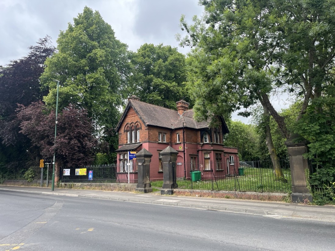
Stock Hill
43 Metres
141 Feet
26th May 2025
Drax Britannicus – All Roads Lead to York?
It took me three days longer than I had intended to reach the highest point in the Unitary Authority of York.
I had been heading north, with the intention of reaching the small village of Rosedale East, hidden in the seemingly forgotten but extraordinary Rosedale Valley in the North Yorks Moors National Park.
I had stopped for a couple of nights with my brother in Nottingham where, the day after Tottenham Hotspur had defeated Manchester United in the UEFA Europa League final, I had popped up to the highest point of the city at Mapperley. That night I explained what I was hoping to achieve over the coming days. It included what seems to have become an annual trip with my daughter and her partner J to a heritage railway. In this case it was to be the North Yorks Moor Railway. If there was time, we would also have a trip into York and take in the National Railway Museum (2025 is the 200th anniversary of the railways in Britain).
My brother piped up. “Do you remember when you took me there?” A vague memory began to form. I did, but only just. He reminded me that we had taken a train from Kings Cross, went to the museum, and returned to London the same day. He thought he was about ten years old, which meant that I would have been just fifteen! Well, I’ve checked and given that the museum only opened in September 1975 (50 years ago as it happens), I would have been at least seventeen and he, twelve. Nevertheless, it still surprised me that I had taken on the responsibility at the time.
I left Nottingham, and at Pontefract I dropped in to see my two Yorkshire based cousins where over two hours we caught up on a year’s worth of news, books and aches and pains. Suitably fed and watered I carried on up the A1(M). All I had to do was take a right at junction 44, and then by keeping to the A46 I would be able to tick off the top of York.
In the short time it took me to get to junction 44 I had seemingly forgotten the junction number and sailing merrily past it. Incomprehensible, but it wasn’t until signs for Thirsk and Ripon started appearing that it began to dawn on me something was amiss. I appeared to have been in a state of denial. Instinct eventually told me that I had shot my bolt, York was too many miles behind me now, and executive action was required. Leaving the A1(M) at last, I took towards Thirsk and then stuck to the A170, climbing up an improbably steep slope to the high ridge at Sutton Bank, before stopping at the excellent little town of Helmsley for some provisions. A text informed me that my comrades had reached the farm we were staying in. Good timing. According to the phone thing I was only 27 minutes away, and so texted back to say I would be there in a jiffy.
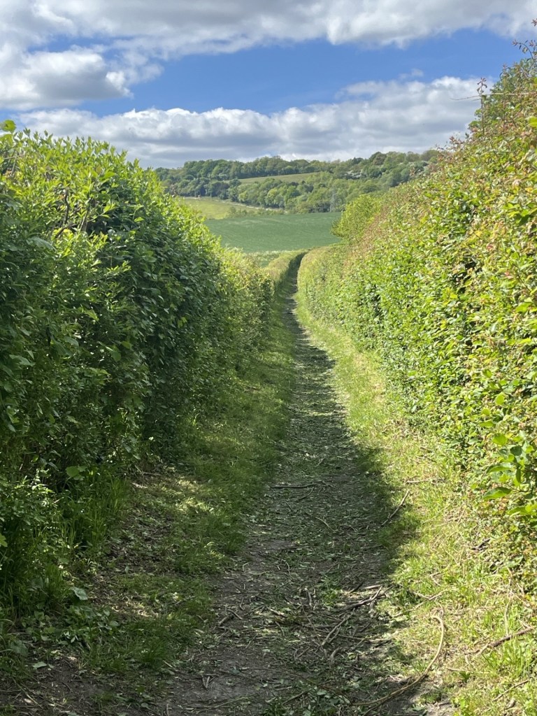
Past Kirkbymoorside I found the road that would take me as straight as an arrow to East Rosedale. At a place called Hutton-le-Hole I should have turned right (if only I had known!). Maybe I had been expecting to see a sign or something, or maybe I was just overwhelmed by the rough beauty of my surroundings, or maybe just at that moment a 4X4 had been trying to mate with the boot of my car, but for whatever reason before long I was driving along a barren moorland ridge with stunning views in all directions. Down to my right I could make out the Rosedale valley and I knew that at some point a road would appear that would take me down into the top of the valley and then the village.
Just past the Lion Inn on Blakey Ridge and sure enough the turning appeared. To my consternation a red sign stuck in the middle of the road stated that it was closed. A diversion sign pointed back the way I had come. Surely not!
When in doubt, “keep on going” is not my go to motto, but for whatever incomprehensible reason, on this occasion that is exactly what I did. Fifteen minutes later and I was doing a U-turn in the small town of Castleton (not to be confused with the pearl in the Peak District) and defeated, started to retrace my route.
Eventually, back at the closed road, I pulled over. My phone had been ringing. Despite every effort to understand how to execute a hands-off call in my car it remains a mystery to me. I suspect it must be broken. I called my daughter back. “Hmmm… no I wasn’t okay really. This road is closed, and I feel like a total dolt.” (Dolt is a medieval word now rarely used, so in truth that’s not the word I used, the actual being more Anglo-Saxon than polite Tudor). Don’t worry, she said, the road wasn’t really closed. They had used it.
Against my better judgement but now realising that to find another route was going to take at least another thirty minutes, I slipped past the sign as if I was under surveillance and headed along and then down the east side of the valley. And there it was. The road works! Fortunately, the boys from the black stuff had gone for the weekend, and there was just enough room to squeeze around the barriers. Against all the odds I had made it to the accommodation at just the moment the BBQ had started, and the bulk of the preparation had been completed. My lucky day!
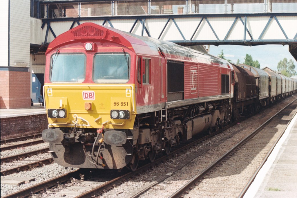
The following day we took the slow train from Pickering to Whitby on the North Yorks Moors Railway. A spectacular route, but there were no steam trains were on duty. A month earlier one of them had sparked off a wildfire high on the moors, and the mile or so of destructive fire power was plain to see. Judging by the long-range weather forecast the chances of steam trains hauling passengers on the line will probably have to wait until the seasons end. A big shame for the heritage industry, but hey, for a while at least the kids would just have to get used to some diesel action instead.
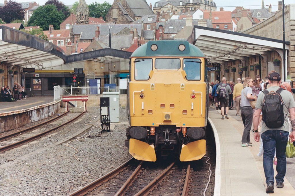
Heritage Brush Type 2 at Whitby (built c1957 – we share the same birth year, which presumably puts me in the heritage category too).
Whitby was heaving, bright and breezy and perfect.

A nod to Martin Parr – Glorious Whitby
On the train back we agreed to head into York the following day.
We drove in and towards the National Railway Museum. Despite the early hour, we’d missed the chance to park nearby, having to settle instead for a more central location that charged Air Prk n Prk prices. In for a penny, in for £20 as they say, it looked like we were gonna spend the day. After an hour or two at the train museum, which naturally met expectations and which didn’t seem to have changed at all since 1975, we wandered into town. Busy, busy, busy, but looking good on an unexpectedly bright and squally day.
After passing the cathedral we slipped into the famous Shambles, and what must be something of a bull run for parents with pre-teen children. Every second shop was either an identikit sweet and fudge emporium or a Harry Potter merch crap shop (as I write the BBC are doing a York day on the radio, and by all accounts there are five!!). In horror we slipped out as quickly as we had slipped in. The last time I had been through the Shambles, sometime around 1981, it was certainly commercial but retained something of its mediaeval essence. I recall a quaint shop under which ran a Roman road, and the story was that from time to time the ghost of a Roman soldier could be seen walking through, at waist height! At waist height because the old road was a couple of feet below the current floor level. I was thinking about some fancy words to explain my position on ghostly spirits, but I’ll get on with it. I don’t believe in ghosts, but if I was to ever place credence on any ghost story at all, I’d have to give it to the torso of the Roman soldier, simply because of that quirky detail. Seriously folks, I’d rather see five Roman ghost shops than the H Potter exploitation outlets that have killed the vibe.
We carried on down to the Norman castle and back along the riverbank. Just before the Ouse Bridge crowds of drinkers and diners lined the embankment at Kings Staith. We stood outside the Kings Arms. The last time I had been here, in 1981, it would have been impossible to stand where we were now. Up from London with a friend who had no interest whatsoever in trains, but a keen interest in historic pubs (let’s be honest, all pubs), the only way to access the Kings Arms was from the adjacent street via the upper side door and clambering over sandbags. We ordered a couple of pints and went and sat at a table by one of the river fronted windows (see picture) where we gazed out as the Ouse gushed past us, just a foot or so under the window ledge. How exciting! Looking round one of us spotted a series of marks on the brick wall. They showed the levels the river had reached within the pub on previous flood occasions. We looked out at the raging torrent. Hmmm… it was still raining! It was down the hatch and away.

The Old Uninsurable – York
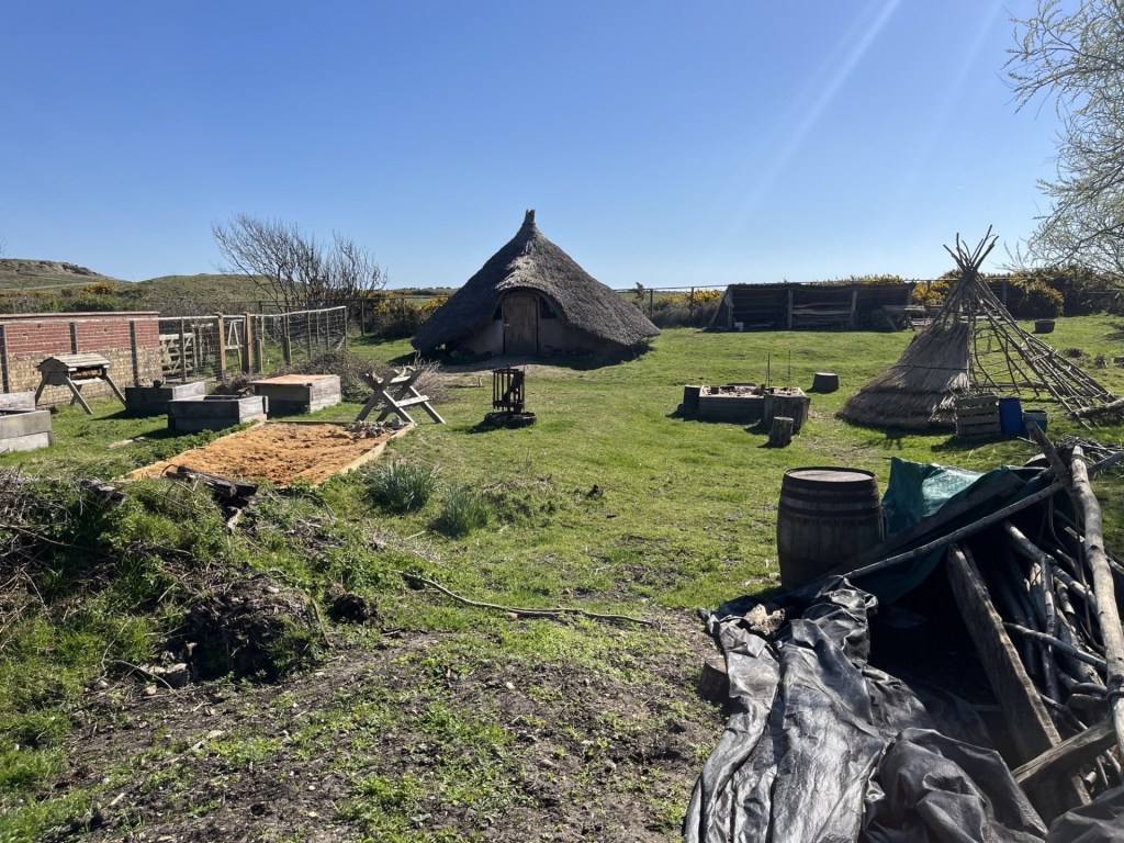
Given the Sahara-like conditions in Yorkshire since February, the chances of the Ouse flooding any time before this winter appeared remote but, on this occasion, we passed the Kings Arms and started to head back towards the car. At Museum Gardens we popped in for an ice-cream to find a Romano-British re-enactment taking place. We watched as nails were forged, leather studded, and wood worked. At the “how many different ways did the ancients invent to kill and main each other” three men dressed in full armourer’s garb demonstrated that the number of ways invented to kill an opponent appeared to be limitless. Slingers were in particular hideously murderous. A cohort of legionaries began to assemble. Twenty odd older men, dressed in combat wear and possibly slightly worse the wear from the mead, started to line up. It all seemed a bit amateurish, which of course it was, but the finely honed drill was observably messy and after some pushing and shoving tempers began to flare amongst the ranks. Voices were raised and one of Rome’s finest re-enactors came in for some rough tongue lashing from a couple of his colleagues. The air began to turn a different hue as some clearly audible Anglo-Saxon words were exchanged. Ironic I thought, given the circumstances. “Mummy, what did that man say?”
It took a few minutes to get themselves sorted out (I figured that it might have been a good opportunity for the Iceni re-enactors to have grabbed some of the abandoned weaponry and have seized the moment, but they too just looked on perplexed, cowed no doubt by a latent inferiority complex). Eventually, having calmed down, the troop marched off, a tad unsteadily, towards their starting point. The fun now over we too marched off in the opposite direction and across Lendal Bridge and back to the car.
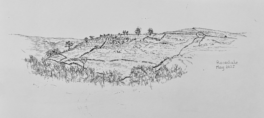
Back at East Rosedale I had a short walk out from the farm complex we were staying at, up a low hill and to the abandoned site of the railway yards that served the nearby quarries. In the apartment a brilliant little book (Rosedale Mines and Railways by H R Hayes and J G Rutter) gave a fantastic account of the ironstone industry that had once dominated the entire valley. The signs of industry were still evident but unless you knew it was there, or that the railway had snaked north up to the head of the valley, and then back along the contour on the western flank, you would never have known that thousands of people had once lived and worked this remote valley.
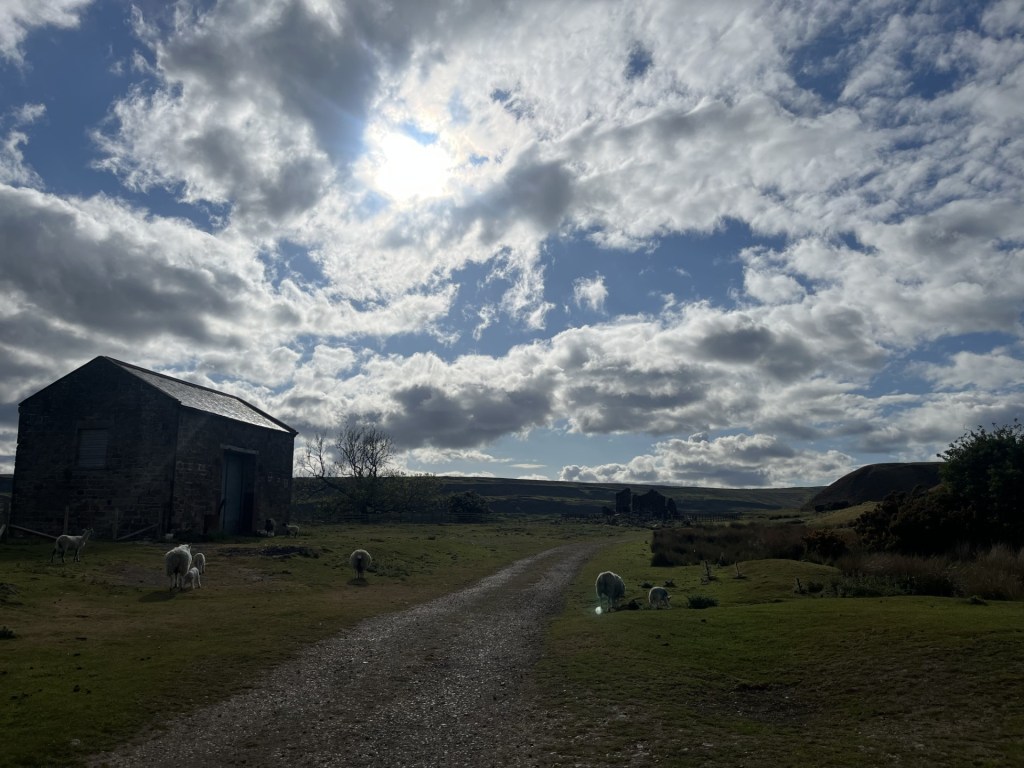
The old quarry and sidings above East Rosedale – the very accessible trail extends around the entire valley
Monday morning had arrived and so had an annoying band of low cloud and slashing rain (we’d hoped for a walk before leaving). No point complaining, even a thimbleful of the wet stuff would have been welcomed by the farmers. I finished off a quick sketch of the view towards the west slopes (a faint line hints at the old railway).
After breakfast in the pretty village of Rosedale we bade our farewells. My daughter and J were taking on the daunting journey back to Bristol and I was heading back towards York, and then onto Cambridge where I had secured an unfathomably cheap room in an hotel to break my journey back to the south coast. I was in no rush.
To get to York, all I had to do was retrace the route we had taken the previous afternoon on our return from our visit. I passed through Pickering and then Thornton Dale. As I passed out of Thornton Dale it occurred to me that it wasn’t a place I recognised. I pulled over and checked the map and discovered that for the third time at least on this short break, I had missed my turning. Up until quite recently I have had an almost unswerving confidence in my navigating abilities, to the extent that I have no satnav and am untroubled by the fact that my phone refuses to speak to me on the odd occasions I do try and set a route on Google.
Having worked out the revised route I set off along delightful country roads and mulling over whether I had at last reached the tipping point of short-term memory malfunction, before eventually meeting up with the A64 and heading south. Within five minutes the traffic ground to a depressing halt, it being a bank holiday Monday every second vehicle dragging a caravan. Every so often, when an opportunity presented itself, a car would peel off and head into a side road, clearly being assisted by their in-vehicle device. On the way back to East Rosedale the day before, J, who was driving, inexplicably pulled off the A64 and all of a sudden we were on a tiny track running between wheat fields. I suggested quietly that this departure from the main road felt wrong, but apparently the phone always found the quickest way. After a couple of minutes, and with no obvious sign of a major road in sight J pulled over. Seems that at the petrol station a mile or two back J, who had previously programmed the petrol station into the phone, had failed to reprogramme the route on filling up. Now the phone was desperately trying to take us back to the petrol station. The notion of AI leading us all a merry dance in a frantic attempt to assist had tickled me pink, and now, as the jam began thinning out, I was just content to wait it out. There was no obvious cause for the congestion other than the sheer numbers of people returning from the east coast to all other points north. It was only past York that the traffic began to move with a bit more purpose. I was getting close (oh, in case you’ve got this far, but had forgotten why you were here at all, I was still seeking out Stock Hill, the highest point in the City of York Unitary Authority).
I pulled off at the Askham Bryan junction and before long was driving along random lanes in what I considered to be a westerly direction. When I had planned to do this three days earlier, on my way up (you’ll have probably forgotten by now that I had missed junction 44), the approach to the high point would have been straight forward. A left turn off the A64 at The Buckles Inn and Bob would have been my uncle. Unfortunately, as the A64 is a dual carriage way, and there is no right turn from the east at The Buckles Inn, I’d had to come off a mile or so beforehand. Of course, I didn’t possess the necessary in-car tech to get me out of this labyrinthine pickle, but I knew that if I just kept driving with a left, left, left attitude I’d get to where I belonged. *
Sometime after leaving Askham Bryan I found myself driving through (from the west – eek!) Askham Richard. I was lost, and I swear that if anyone at all had been out on the streets, whether they were called Bryan, Richard or Louise, I’d have stopped and ask’d ‘em for directions. * *
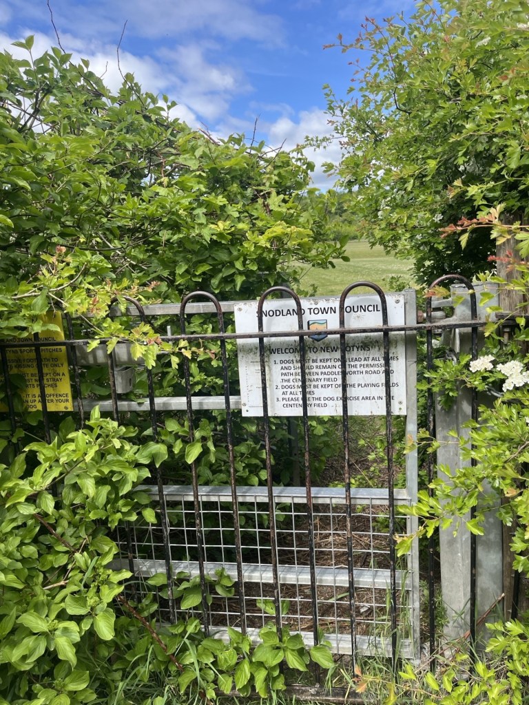
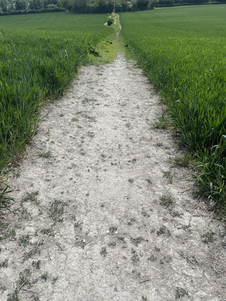
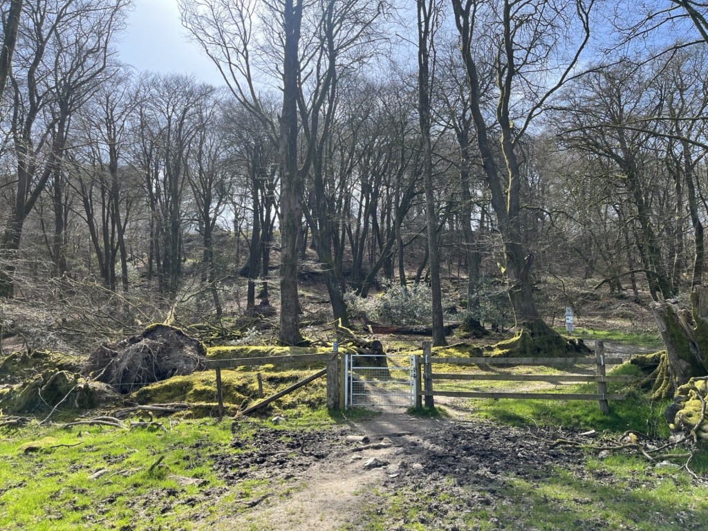
In hindsight I believe the problem I had was that my destination was on an unnamed road, which meant that I was in a perpetual state of confusion. Somehow or other (luck I guess) eventually I was driving south on a small road that from what I could recall of earlier on-line research felt familiar. A small row of whitewashed cottages appeared on the left with fields in all directions. Fifty metres on and again on the left a side track and a large metal gate. I pulled over, knowing I had arrived. The gate was locked. I knew it would be. The track headed east and rose slightly to a higher point about a hundred metres beyond. A CCTV sign on the gate made it clear that whatever lay beyond was private property.
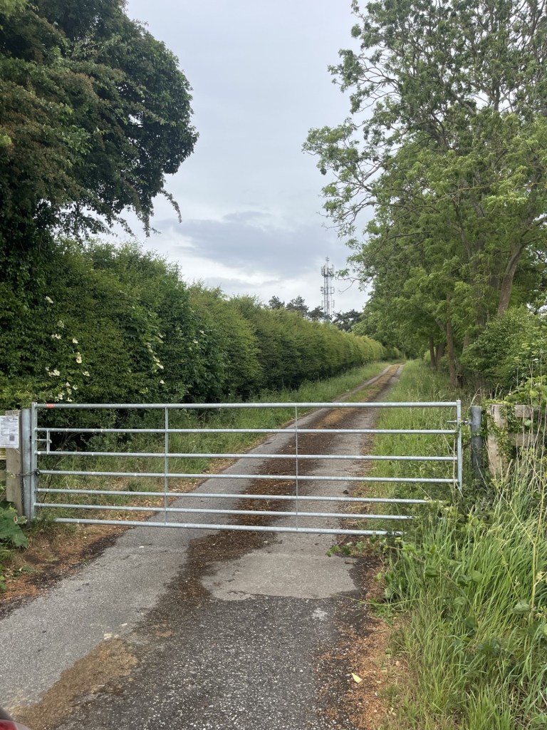
The Stock Hill access prevention scheme
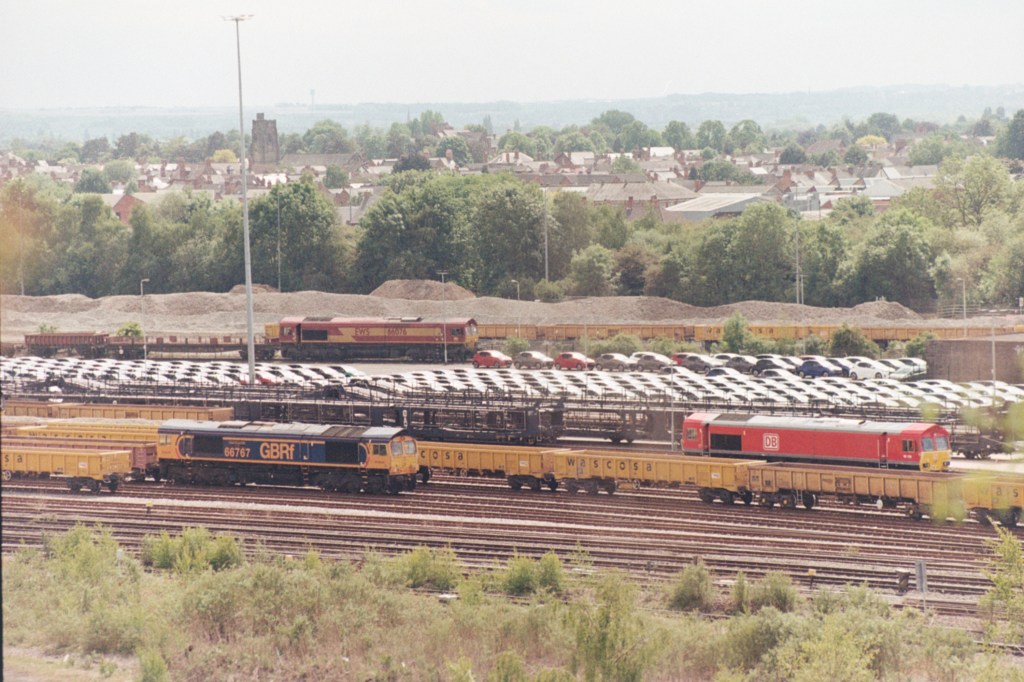
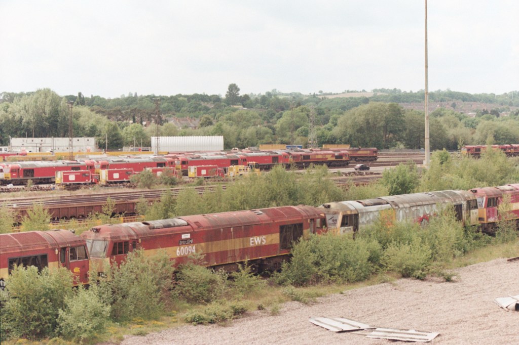
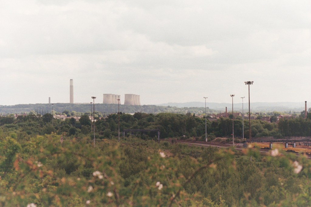
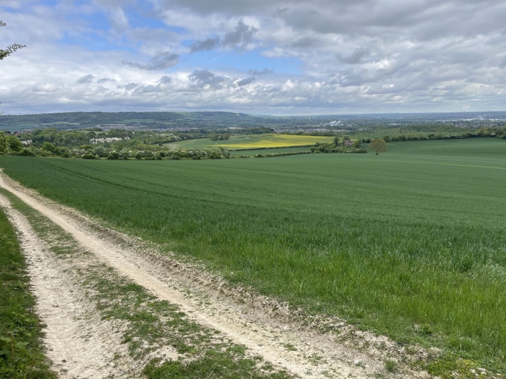
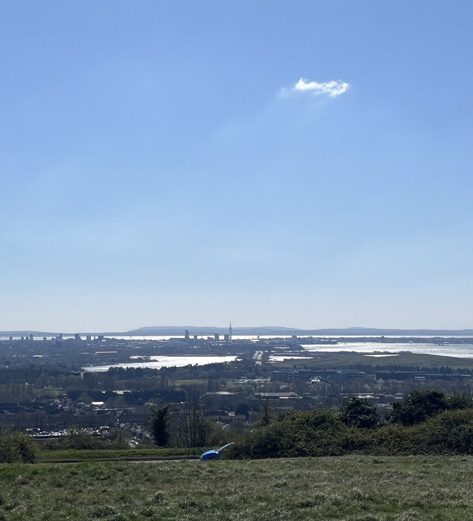
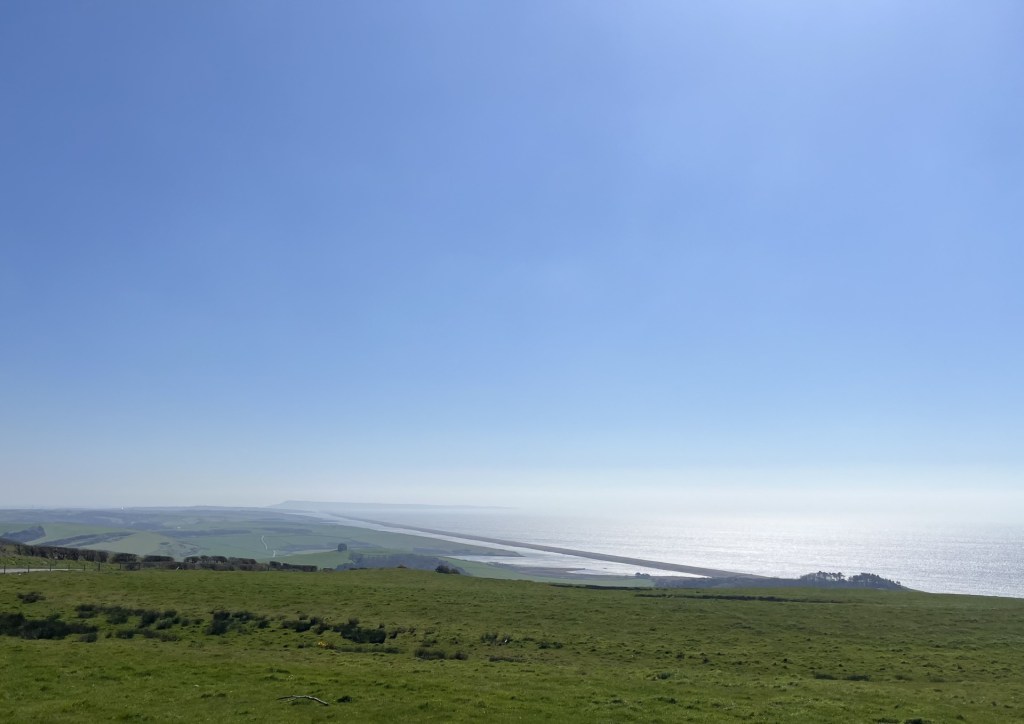
I had been driving for what felt like hours so took a few minutes to stretch and take in the views. Despite the relatively flat vista to the west, the road heading south and back towards the A64, dipped away. Beyond low ridges, on the far horizon and on an almost ley line alignment with the white dotted lines running down the centre of the road, cooling towers and an enormous chimney, maybe ten miles away. I looked at the map on my phone (the one that seems incapable of talking to me when I try to set a route – or is it me?). Oh! There was no doubt about it. I had read loads about this place in Private Eye and seen documentaries about it too. Possibly one of the most controversial industrial sites in the country, Drax Power Station near Selby once burnt coal but now burns something called biomass. This “biomass”, from what I understand, consists largely (or possibly entirely) of imported wood pellets. In a BBC documentary two or three years ago, evidence was found that some of this wood was being sourced from irreplaceable primary (i.e. ancient) forests in Canada. The company receives huge state subsidies (billions of pounds) and generates a significant amount of our “renewable” energy. Mind you, that depends on whether burning wood is a form of renewable energy. Many claim that it is not, and that it would even be cleaner to burn coal instead. I don’t know, I’m not a scientist, but if I had to decide on whether to continue funding it, or letting it go for good (I don’t have to; it’s currently Ed Miliband at the time of writing), I’d probably let it go, and instead use the billions set aside for future funding to invest in genuine “green” industries for the Selby area. There… it’s out now, I’m a hippy.
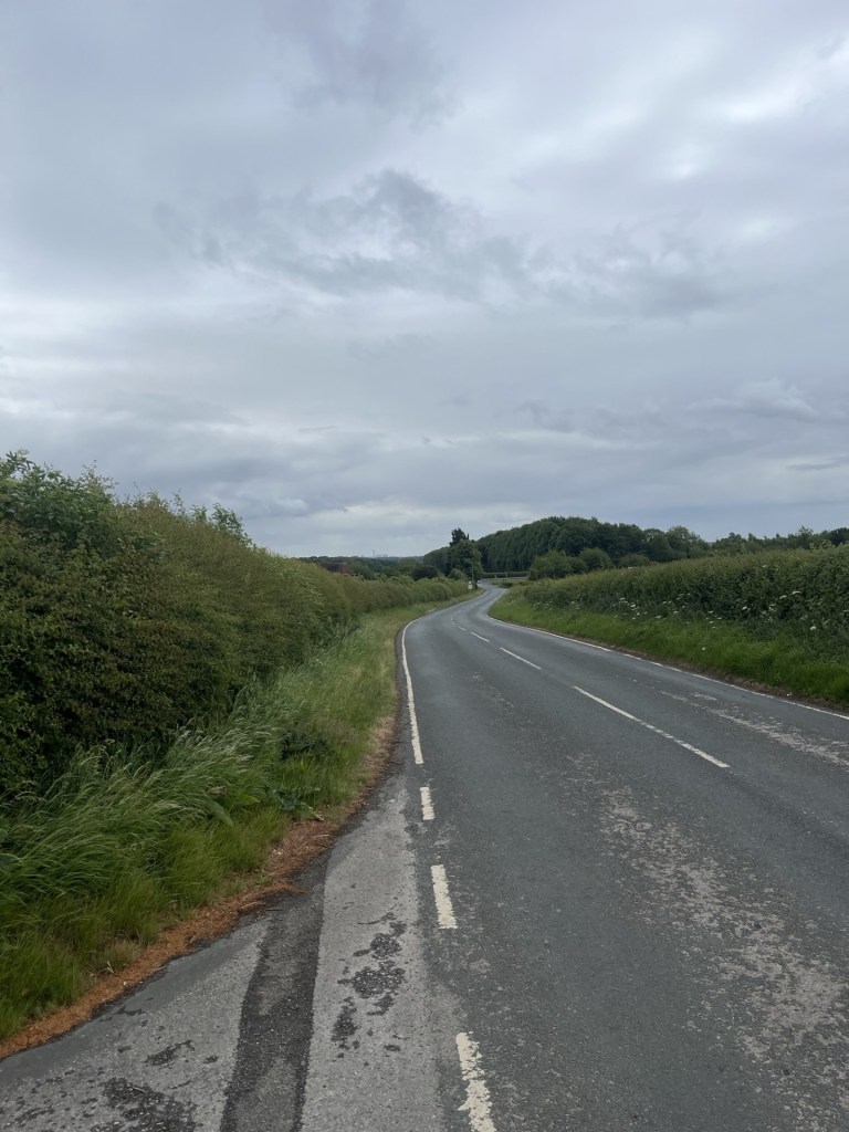
The white lines point to Drax
In unrelated Drax news, in 2022 I stopped at the village of Corfe Castle in Dorset. A sign by the village hall had a picture of a vigorous looking young man, who purported to be the area’s local Member of Parliament.

Richard Drax was 64 when this photo was on show. I too was 64, and like most men of that age certainly didn’t command the same youthful visage
Until 2024, Richard Grosvenor Plunkett-Ernle-Erle-Drax was not only the Conservative MP for South Dorset (when remarkably he lost his seat to Labour), he is also the biggest landowner in Dorset and owns a large pad surrounded by the biggest wall in the county. He is the so and so in line of a very old aristocratic family that cemented their fortune through slavery, and are the last of the old slavers to still own large plantations in Barbados (having almost certainly also received huge sums in compensation after the abolition of slavery, of which we – that is the nation – have only just finished paying off the debt). Anyway, I digress. Richard Drax (as he likes to be known, and some say after David Cameron asked colleagues with posh names that might identify their privileged class, to shorten them), to the best of my knowledge, has nothing whatsoever to do with Drax Power Station, but if you were to imagine a science fiction, post-apocalypse, super polluting industrial conglomerate it would almost certainly be called Drax and owned by a dark lord of the same name. I have mused too far (to the left you might complain).
Back to reality. If you are keen to visit this location and wish to share the view of Drax power station, my advice is simple. Approach from the west on the A64. On reaching The Buckles Inn (a mid-20th century brick building that at the time of writing was temporarily closed) turn left, carry on with fields on either side and then stop at the first track on the right.
In order to keep up my newly found interest in the Civil War I was half tempted to seek out the nearby site of the Battle of Marston Moor but instead I drove off back towards the A64. Free… at last.
* https://www.youtube.com/watch?v=AhkGTZ5qOjw&list=RDAhkGTZ5qOjw&start_radio=1
** apologies for any copyright infringements associated with this appalling joke