Chrishall Common
147 Metres
482 feet
27th May 2025
The Only Way is Essex
I had been driving around the large and presumably ancient village green at Langley Upper Green for several minutes hopelessly trying to find a legitimate parking space. Not because every parking space was occupied; quite the opposite – there simply wasn’t anywhere to park. Despite my frustration I had to admire the fact that you could take in the sight of the green space without the slightest hint of painted metal and rubber. After several reconnoitres, I noticed a modern building with its own small car park located on the greens eastern flank. I parked up, searched high and low for any signs that might indicate a vehicle indiscretion and concluded it was safe.
I was at Langley Upper Green because, from what I could tell, it was the closest starting point to get to the highest point in Essex, and a spot called Chrishall Common. Half an hour or so before I had been to the top of Cambridgeshire, at the nearby village of Great Chishill. At 146 metres high, Great Chishall is 146 on the list of County and Unitary Authority tops. At 147 metres Chrishall Common is 145 on that same list (keeping up?). If that’s some strange symmetry, make of it what you wish. Or maybe call it a plateau.
After weeks of drought and high temperatures, a gathering cold front was pulling low, grey but thinnish cloud in from the west and offering the possibility of rain. I pulled on a light anorak and set off across the green and towards the north-west corner, where I hoped to find a path into fields.
A gravel-based road ran along the north of the green, serving some houses on the northern edge, and then a handful of newer mock period houses ranged on the eastern edge. Not unattractive, and blessedly not gated off, but surprising given that I assumed the green had at one time been common land. Maybe it wasn’t. A look at a map from around 100 years earlier showed that the green then was about twice as large.

The green at Upper Langley – not yet gated
I found the path at the top of the green and then passed between two areas of land, possibly orchards that had been fenced off. This path led to a large field with a huge stack of hay, the size of a large building, that can be identified from space on Google earth.
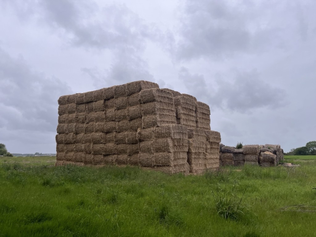
Giant haystacks – The great Bale of Langley
A path flanked the field heading west and then a turn to the right and north and skirting another much larger field.

Sweeping up to the top
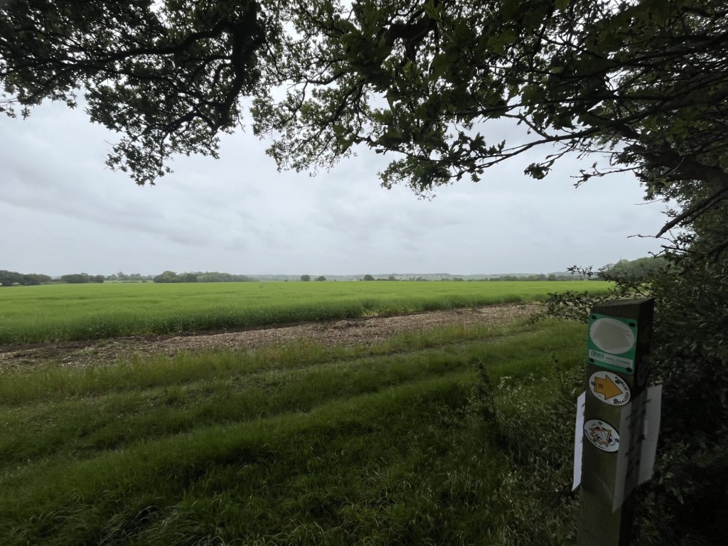
A stiff breeze brought with it spots of rain that threatened a possible deluge. It would have been very welcome, but never quite materialised. A large wood lay at the north of the field and stretched away several hundred metres to the west. As far as I understood it, the highest point in Essex was either in, or just beyond the line of trees. A path, identified by a post with multiple signs, led through the woods and into another field.
Every which way in Essex
If the highest point was somewhere in front of me, it was impossible to pinpoint it, and as far as I knew it could have been back in the woods. With the threat of increasing rainfall (which failed to materialise) I retreated to the southern field, and within fifteen minutes was back on the green.
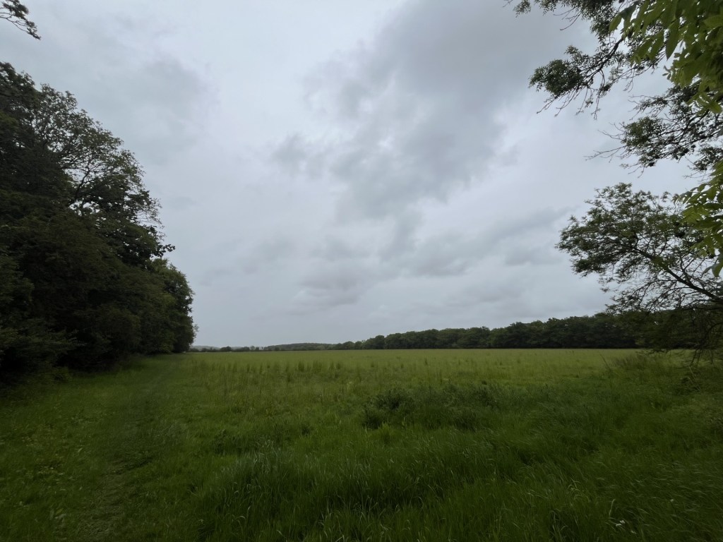
Chrishall Common – The high point!
As a leg stretcher I quite enjoyed this short walk in a big flat landscape. Maybe the overcast conditions didn’t do it justice, and maybe it would be best enjoyed dressed to the max and traipsing across the fields in a February blizzard with the wind whipping in from the east.
A distressing discovery has emerged whilst writing up this account. Earlier in the year, and based on sound research, I had climbed to the highest point in Bristol at Cossham Memorial Hospital, Lodge Hill. So, as I was checking down the height information for this piece on the Peak Bagger list I noticed Bristol, but it was showing a different name!!! What the what the???? Dundry Hill East! Dumbfounded, I did some searches and sure enough a recent article in Bristol Live explained that following a boundary change in 1949 Dundry Hill was quite a lot higher than Lodge Hill. Peak Bagger must have agreed and made the change. Finding this out means a lot of unpicking, but most distressingly requires another trip. Oh well, the joys.
