Station to Station – Up Walk to London. 4. Robertsbridge to Etchingham

4. Robertsbridge to Etchingham

1st August 2026

OS Explorer 136

Distance: 4.5 miles

Up the Rother

Another hot day (not scorching for a change) as I disembarked the up train from Hastings, just after 1pm, at Robertsbridge station. I wasn’t anticipating a long walk so was in no rush as I wandered over to the recently constructed terminal building for the Rother Valley Railway.

Strolling onto the empty platform I looked around and then decided to walk to the end to get a better view of the heritage diesel shunters parked up on the outer track. As I walked up the platform two men in hi-vis were walking towards me. They were about to lock up, but we had time to chat. One was the Chief Engineer. How lucky was I?

How was the project going, and when will you be closing the A21, I asked? Everything was going well, they had enough funds, they would be closing the A21 in 2027, and the link would be completed and trains running by 2028. It all made perfect sense to me, but just in case anyone unwittingly chooses to read this, some explanation may be required.

The Kent and East Sussex Railway operates out of Tenterden and runs its heritage engines (diesels only this year due to the risk of fire) up the river Rother, terminating near the remains of the medieval castle at Bodiam, a few miles to the east of Robertsbridge. On a visit to Bodiam a year earlier I discovered that they had ambitious plans to continue the line through to Robertsbridge, which would have to include “fording” the busy A21 road. Controversial? Yes, by all accounts. Residents of Robertsbridge had been consulted, and whilst there was good support for the scheme, a minority were unhappy. It was a quiet town, and that’s how some people liked it. Regardless the green light had been given, and ever since the volunteers have been busily laying new track along the old disused line.

In just over two years’ time trains will once again operate between Robertsbridge and Tenterden, necessarily closing the A21 a few times every day in the summer, and possibly causing me some inconvenience from time to time. That’s okay by me. The number of times road works and accidents mash up your day on the A21, the odd five extra minutes to allow a train load of happy passengers to enjoy this part of the world will be nothing in comparison. For more on this watch this relatively short video which features a lot of middle-aged men – like me, I guess.

I took my photo, thanked the two volunteers, and walked back to the Brightling Road. An excellent start to the day.

D2112 – Built 1960 and equipped with a Gardner diesel engine. Interesting fact: In 1980 I worked at the now closed Gardner factory in Patricroft, Manchester. *

Considering myself updated, and lucky, I walked the quarter of a mile east and into the small town to grab a coffee at the bakery on the corner of Brightling Road and the High Street. Sitting outside and nursing my drink I took in the quirky and attractive architecture, including the Seven Stars Inn, which, despite having been closed for years, still held onto a blackboard outside advertising beer options, good food and entertainment!

The building that was once the Seven Stars – Closed all and every day, and probably for ever.

It was interesting to think that some residents of the town were against the new/old railway, because they liked the peace and quiet. Once upon a time, when I was young, and my friend got his first battered up second hand car (a brown Triumph Dolomite with extra rust included free), sometime at the end of the 1970s, we’d occasionally set off on a summer’s evening in the middle of the week from south London, heading to the coast for sheer hell of it. Sometimes we’d make it, and sometimes not. On the occasions we didn’t it was because we’d left it too late, and because the main road (the A21) used to run right through Robertsbridge we’d call it a day and take a couple of cold ones in one or two of the several pubs that lined the High Street. That would almost certainly have included the Seven Stars. Being a bit of a bottle neck (the High Street, not the mode of drinking), the traffic was almost perpetually snarled up and going nowhere. Many years later, as part of a scheme that has never meaningfully matured, Robertsbridge did at least get a by-pass, and judging by the almost complete lack of activity observed over my coffee, it had had the desired effect, but which might also explain why the Seven Stars had to close.

More Robertsbridge architectural action – traffic free!

With my OS map in hand, I set off back west on the Brightling Road. Somewhere on the right, and just over a small bridge spanning a stream, it showed a footpath that headed north and would take me out of town. On arriving at the spot on the map, I was confronted with two options. A track by the stream that led to a gate and then on into open fields, or a dusty road leading into a small industrial estate. Without a very powerful magnifying glass I was unable to say with certainty what was what, so, based on probability, I opted for the track with the gate and nearby stream.

A bit further up the track, and to the right, a large electricity sub-station, along with appropriate health and safety notifications, lay at the beginning of a large field area.

If you are here, turn back

In the distance I could see a recreation ground, with a game of cricket playing out, and groups of people enjoying yet another glorious day. All I had to do was navigate across the ragged, rough and uncultivated field, which increasingly came with snags and snares, and I’d be properly on my way. Fifteen minutes of scrambling around, climbing over and bending under various hazards whilst looking for anything remotely looking like a bridge to carry me over the small tributary of the River Rother, I gave up and retreated back to the road. A little voice in my head told me to try the industrial estate, but it looked so inhospitable that I dismissed the option (in fact I should have gone with my instincts), and headed back to the High Street, turned left at the junction and walked the road to the Clappers recreation ground.

New Captains please

I’d spent far too much time getting lost in Robertsbridge so only stopped for a minute to watch W.G Grace pushing forward to a medium paced delivery, and missing, before heading into the unknown under the railway bridge, once abandoned, but now carrying new track.

Back on, under track

I was now in a pocket park nature reserve, and aware I was again off track. I followed my instincts through the wooded groves and found a well-trodden track that led down through a tunnel of trees and then out into open meadow. I guessed that even if I wasn’t entirely back on track, I would be soon. Passing over a stout stone bridge, which may or may not have been a random feature of a wild crazy golf challenge, I was now heading northeast.

Dropped Ball.

I crossed a wooden bridge over what I assumed was a marshy area, but which bore no evidence of the wet stuff, and then under a bridge carrying the mainline. At last!

The bridge over an ex-marsh.

Going under the mainline

Turning right after the bridge, I was now definitely on the track I should have been on half an hour earlier. Almost immediately the path headed at a 90-degree angle away from the railway and up a gentle slope with trees providing cover from the increasingly intense sun. After 200 metres or so I was in a field and then on a path at the edge of the field, with trees and thicket to the right. A few metres in and a female blackbird popped out from the undergrowth and fussed around in the bone-dry earth.

This bath ain’t big enough for the both of us

I stopped to watch, assuming also that within moments it would shoot off. After a good minute, with it seemingly unaware of my presence, I moved forward. It reacted by skipping another few metres along the path, settling down again into the dirt and challenging me to come on again. This behavioural pattern continued for the next fifty metres or so before it finally decided to stop playing the game and disappeared into the bank. A few paces on and a metal gate to the right invited me to enter a large field with a path heading northeast and running back down to the railway.

Fantasy clouds

Whatever the crop had been, it had been cropped, with large bails dotted around and waiting for collection.

Rolling

At the foot of the field, I was reunited with the railway and a bridge that took me to the other side of the line and another uncultivated field.

Bugsell A bridge. No idea if there is a B

Following the footpath on the map here was less easy. I crossed over a stream (possibly the Rother) and below something of a torrent of running water was heading towards the sea. Surprising given the climatic conditions but encouraging to see a small trout circling in the shallows.

The Rother still in flow

At the end of the scrubby land, through which I had guessed the route, I intersected with a path heading north/south through indeterminate scrub and woodland. Beyond, through the trees a large southwest facing field staked out with hundreds of vines reflected the new farming norm. The climate optimists will tell us that the UK is on the cusp of a wine bonanza and that’s a great reason to welcome the hot summers. Of course, it’s great to have a summer worthy of Crete (particularly as I am unable to travel there this year), but you can’t make bread with grapes (as far as I know). I went north, over a stile, which on the other side consisted of a single upright post that challenged the elderly gymnast, and then through a tunnel of thick hawthorn.

Crossing the minimalist stile

Through the web of hawthorn.

Beyond the hazard zone the path continued along the east of a field with trees to the right, and the railway now back in view to the left. After a while a wide track to the right crossed over a stone bridge that spanned a small brook (probably the Rother again) nestling in shady woodland. It was time for the newly introduced hydration break. I think that the track led on up to a large country house, but I wasn’t curious. Just knackered. Drinking warm water and listening to the tired afternoon birds lament, and the occasional knocking of a woodpecker testing a truck, I gazed down at the stream, stagnant here, but at least lowering the surrounding ambient temperature.

Soft light, soft spot

Back on the route, and another hundred metres on the path partnered up with the railway line and continued northwest until arriving at a level crossing at Squibs (no, I don’t know either).

Squibs Level Crossing – the approach

Here the mainline stretched out far in both directions, forming part of the track that took the line in a wide arc heading northwest out of Robertsbridge and then west into Etchingham. I dallied a moment, contemplating the next steps that involved safely crossing the track. Then the familiar noise of metal on metal hissing up from the line warned of an incoming train, and sure enough moments later, at 15.18, the eight carriages up from Hastings zapped by towards Etchingham.

Incoming

I was grateful for my dally but once satisfied that there was no reciprocal down service heading towards me in the other direction I quickly crossed and headed away from Squib on a path wedged between the line and a large, unkempt field to my left. With tatty strips of wheat that looked like they had been planted but possibly abandoned, intermingling with tall dried out weeds, it was a sorry sight. Maybe the field had been left fallow, but given the concrete hard earth below, the chance of any regeneration seemed slim.

The path continued for a few hundred metres. The uplands of the Rother valley to the east bore the appearance of the Midwest in late August. The Dustbowl Weald was looking more like a reality.

Scorched earth

The field ended just below Lundsford Farm. A concrete bridge crossed a wide stretch of water.

Lundsford Farm looming on the hill

The stream held far more water than I had expected, and in both directions lush and colourful vegetation clung to the banks, fighting I guess for every atom of water that leaked into the land. There was something of an oasis quality to the scenery here.

Looking east towards the mainline

Looking west – A small part of Provence in the heart of East Sussex?

Having lingered for a while, enjoying the pastoral glories, I proceeded across the bridge, then to the right where the map showed the footpath entering a field that would take me around the perimeter of the farm. At least that was the plan. Pushing open the wooden gate and stepping into the field I was immediately confronted by a large brown cow standing broadside on, just ten feet up the hill. I am wary of cows, now that reports of their attacking humans seem to be on the rise, but had it been standing maybe twenty feet to the right I may have ignored it. Instead, because it was giving me the “sorry mate, I’m not moving, and also have the high ground” look, without further hesitation I popped back and pulled the gate shut. Well, that’s one way of explaining it.

Don’t look back in anger

Now, of course, I had to navigate the farm. There was no path on the map, so I assumed this was going to require some trespass. At the top of a steep hill, this indeed came to pass. The farmhouse was far to the left, but between me and the road beyond now lay a conglomeration of buildings designed to store things, milk things, repair things and no doubt bury things! There was no avoiding it, despite having watched Southern Comfort on more than three occasions. 

I managed to make something of a pig’s ear in my navigation of the area, never quite finding a direct route through, and all the time hoping desperately not to encounter anyone else. Completely irrational. Needless to say, I reached the road without incident and now whistling a merry tune to settle the nerves, I looked down past some large squashing equipment towards my destination.

Etchingham in sight

A gate in the wire allowed access to the large field where the path carried on down to the village. At the foot of the hill the path continued through the grounds of a large, sprawling white boarded building that looked like it might once have been a pub, but was signed as the Stores Cottage. Having researched Etchingham earlier I had noted that it lacked anything remotely resembling a pub, which was surprising, but at the same time, not so surprising. It would have had a pub at some time, surely, and maybe the Stores fulfilled more than one function. Daydreaming again.

The old Stores – Etchingham

If I had had more time I would have wandered west into the town, but it was just fifteen minutes before the hourly train, so instead I headed east. A large, unorthodox looking church appeared to the left. I had time to have a quick gander and the door was open. Edging in I took a look before noticing a woman on hands and knees sweeping the floor near the alter thing. After saying hello, but receiving no noticeable reaction, I decided to leave; just in case I spooked her.

The church at Etchingham – uncertain style

I made it to the station with a few minutes to spare. The train arrived just after four, and in a moment of reflection I realised that I fancied a pint. I don’t do afternoon drinking, but on my last outing, on reaching Robertsbridge, I had considered popping into the Ostrich public house, just next to the station, but had chosen instead to jump the next train, just minutes away. And I had subsequently regretted it.

On time at Etchingham

The journey from Etchingham to Robertsbridge was just four minutes (it had taken me two and a half hours to walk the 4.5 miles), and I hopped off and hopped into the Ostrich. A quirky looking Victorian building from the outside, it was even more quirky and intriguing inside. From what I could tell it hadn’t seen a lick of paint since the war, and the pictures on the walls spoke of a time before the ring road. Just two middle aged men sat at the bar. Luckily for me they did Harvey’s Best Bitter. I ordered a pint and slipped into the garden, a mishmash of levels, plants and styles and given the heat and dry conditions it felt a bit like a sub-continental colonial heaven.

Waiting for the rains – they never came

As I sat slowly sipping the warm beer (I had plenty of time before the next train), it occurred to me that this throwback pub might only be hanging on in in the hope of the masses arriving at Robertsbridge station in two years’ time to take a ride on the heritage trains out to Tenterden. I hope it does.

Back at the station I looked again at the new track laid next to the mainline. The thought that a mighty Deltic, or the legendary Mallard, could one day slip into these sidings was thrilling. And with that thought, this is a Deltic (Kings Cross – 1972).

* During the time I worked at Gardner’s Diesel Engines the country was going through industrial turmoil, and the factory was reduced to working three, and then two-day weeks, followed by strikes. I remember a protest outside the factory one day (it wasn’t a strike day but there were rumours that the multi-national Lucas Industries might take the old company over) where banners humorously proclaimed, “We Want Government Aid, Not Lucas Aid”. Those were the days.

Cresting the County – Bristol Unitary Authority

Dundry Hill East

160 Metres

525 Feet

24th July 2026

Bristol reconsidered. 2nd Edition

In March 2025 I reached the top of Bristol. It wasn’t hard, being just a short drive up the road from where my daughter lives. Cossham Hospital, at the top of Lodge Hill, as informed by Peak Bagger, my go to reference guide to all things County Tops related. For what it’s now worth, the brief account of that event can be found below, although no doubt some of the references to AI are already out of date! *

Some months after that event, an article “randomly” popped up on my Google feed. Bristol Live, I think? In a rather rambling account that lingered, paragraph by paragraph between multiple adverts hinting at scandals beyond the headlines, it explained that whilst most Bristolians had been brought up on the notion that Cossham Hospital and Lodge Hill were the highest points in Bristol (including Peak Bagger of course – see below), researchers now believed there was a higher point.

And, just when we thought there were no mysteries left!

In brief, in 1949, to help Bristol build more homes, they did a land swap with Somerset council. Somerset gained Portishead docks (now in North Somerset – highest point Blagdon Hill Farm – account available), and Bristol gained a northern slice of Somerset, which included a chunk of the Dundry Hill range.

That it had taken the “researchers” over seventy years to decide this issue wasn’t mentioned, but regardless, and having checked Peak Bagger again and noting that it had been updated, presumably because whoever administers the site is subject to the same algorithms as my phone, I was now left with the task of visiting the newly identified high spot and updating the records accordingly. Shucks!!

The opportunity finally came along after a routine visit to my daughters, during which she and her partner, J, acquired some sort of norovirus, and I decided to exit stage left earlier than I’d planned.

On another stonkingly hot day, early afternoon, I set off south through the suburbs, eventually finding East Dundry Road. I stopped for a minute to take in the height’s ahead, and the Shield and Dagger public house, which seemed to be doing good business.

Towards my destination, with the Shield and Dagger nestling behind the fence

The road continued through a housing estate that petered out at the foot of the rise leading up the hill. At this point I had to find first gear. The road, potted and narrow, without passing spaces, angled up at a disturbing gradient. If another vehicle had been coming down in the other direction, I doubt I would have had the driving skills to navigate the situation. But all was good, and after half a mile or so the road began to flatten out with views opening out to the west towards the Severn estuary.

I knew that at this point I had left Bristol and was in the Bath and North East Somerset Unitary Authority area (just to complicate this account further), and that the high point of Bristol lay just a short distance down the hill to the right. The problem was that there was nowhere to park.

I drove on a short distance and found a small recess in the hedgerow that allowed me to park up for a moment, jump out and look down across the large field towards the spot I guessed was the spot. I took a snap and another of the road (for artistic reasons I should imagine), then jumped back in and headed on along the ridge to the hamlet of East Dundry.

Somewhere down there

Looking back at the climb up East Dundry Road

One last look – over to the right maybe?

Back home, and two days later, I woke up to the reality that despite my early exit I hadn’t escaped the Bristol bug. Never mind. The mission continues.

The first edition

*Lodge Hill

112 Metres

369 Feet

28th March 2025

A room with a View

Bristol is a hilly city, blessed with many high points that grant excellent views. To the northeast, the Dower House, located metres outside the city boundary in South Gloucestershire, is a striking, sandstone coloured Georgian pile that can’t be missed from the M32. To the southwest, and still close to the M32, the remains of the Purdown anti-aircraft batteries now hide under the soaring BT tower, but have grand views towards the city, and must have been an impressive, albeit salutary sight, when in action during the Blitz. In the city itself, the remarkably well-hidden Cabot tower at Brandon Hill gives some of the most impressive views of the city and its surrounds. And of course there’s the Clifton suspension bridge, and the “Downs” above, to enjoy and feel a sensation of elevation.

So, great, but none of these can claim the high spot. That goes to Cossman Hospital located at the top of Lodge Hill, found appropriately in the Lodge Hill area in the northeast.

On the 28th of March 2025, I had a few minutes to burn before imposing myself on my daughter and her partner J, who conveniently live in Bristol. A couple of hours earlier I had walked to the top of Pilot Hill, the highest spot in Hampshire, and now had little interest in further physical activity. I drove up Lodge Causeway from Fishponds, parked up in Selkirk Road and then took this picture before departing. The impressive clock tower is the highest (man-made) point in the city, and the view from there, and I guess some of the wards or admin offices below, must be pretty good, but from just outside the car park, it’s a moderately interesting, possibly Victorian building.

Rooms with a view (I imagine)

A slightly irritating side issue to my tremendous achievement was that as I stood on Selkirk Road (112 metres) I turned and looked to the east, towards the main road, and houses beyond. A side road continued past the main road and, in my mind, appeared to rise to what appeared to be a higher point. It was certainly industrial in nature and appeared to be fenced off. But there was no more curiosity in me, and I left. Of course, in the end curiosity, and a sense of duty to the topic, led me to double check for any localised height variation. Firstly, don’t bother yet with AI. If you type in Google “the highest point in Bristol” the AI overview will tell you that it is Dundry Hill and has a picture of a mountain that looks remarkably like Cadair Idris, a beautiful peak in northwest Wales (or, as I discovered on a second try, Blackdown Hill depending, I guess, on how the AI is feeling, or what it’s learning!). Don’t worry, I’m lost too. Dundry Hill, as of course we all know, is in North Somerset, and that’s a different county (and if you ask AI Overview for the highest point in North Somerset it will confirm this, doh!). *

At this, the casual reader may say, “I thought this was supposed to be about reaching the top points of counties. Why are you doing Bristol, given that it is in Somerset?” Until I started doing this arguably pointless hobby, I too might have thought the same and indeed would have been certain that in the 1970’s, when I went for a pub crawl around Bristol with my very Zummerzet friend Andy on a Saturday night, that I was indeed in Bristol, Somerset. Not so. Bristol, historically, was split in two by Gloucestershire in the north, and Somerset to the south, with the Avon River being the divide. In 1373 Bristol became its own entity (it is complex), which endured until 1974 when it became part of the County of Avon. That lasted until 1996 when Avon was abolished, and Bristol became a Unitary Authority. So, when being shown the sights of Bristol nightlife in 1977, I was probably in Avon. Anyway, when I initially found what appeared to be a reliable list of British counties, Bristol was included, and in my mind qualified.

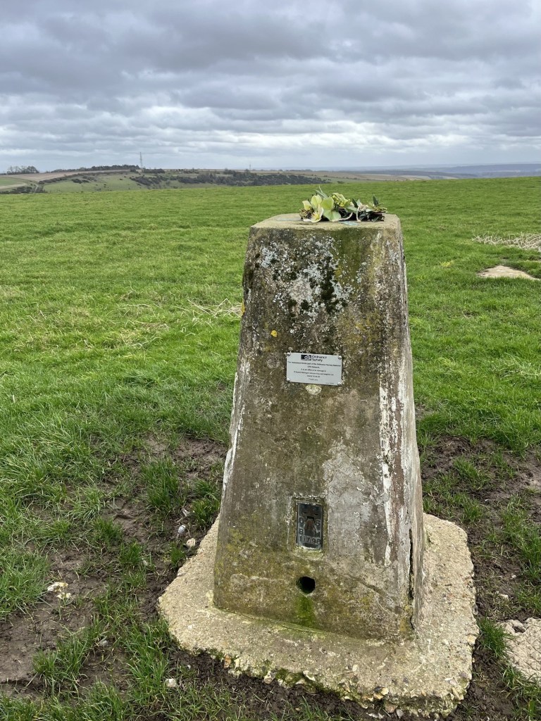
Where was I? Ah, yes, going off piste again (to be fair, it was 1977). So, at the top of Selkirk Road the land appeared to be higher than where I stood. I later checked the ever-reliable British Geological Survey Viewer, and it confirmed that the land did indeed rise a further five metres. Annoying, although I’d be back there again soon and could always pop up to Castle Road to take a closer look. Oh, Castle Road, interesting! It seems that at some point there was a stately home, or manor house that was known locally as the “Castle”. That being the case, that the land rises here probably has more to do with human activity than with the natural contours of nature, and to that end I may feel less obliged to carry out another visit. Anyway, if you want to take this activity seriously, and finding the very top of Bristol is that important, walk away from the hospital and further up Selkirk Road.

As an aside, if you wish to find out more about the semantics of what is, or is not a county, I stumbled on this website. 

https://abcounties.com/news/which-county-is-bristol-

The Association of British Counties, with the mission statement “A society dedicated to celebrating and promoting the 92 historic counties of the United Kingdom and the important part they play in our culture, heritage and geography.”

A brief scan of the text and I immediately departed company with m’learned writer. I guess it had something to do with the smug pomposity of the language that turned me off, and of course the knowledge that all boundaries are in any case artificial constructs, which ebb and flow depending on demographic change, politics, and as we still see, war. Just a little bit of me wondered if the Association might also want to reintroduce imperial measures. Mines a pint.

*I doubt that I will engage much with AI options, though I can’t rule it out, and in time may have no choice. As I write this, a news item reported on the US Secretary of Education, Linda McMahon, talking about how AI will be taught in schools, but more than once called it A1 (A One). Four more years of this………..! Help.

Station to Station – Up Walk to London. 3. Battle to Robertsbridge

3. Battle to Robertsbridge

17th June 2026

OS Explorer 124

Distance: 7.8 miles

Tunnel Trouble – On the Hoof (Bumper Edition)

The train took me from St Leonard’s Warrior Square to Battle where the walk began, but not before I took the precaution of taking a comfort break in the immaculate station toilet. Top marks too. Whether or not the facilities here were built by “reputable” Victorian builders, Messrs Hoof and Sons, this company will receive a significant mention at some point in this account.

The aim was to keep as close to the railway as possible over the coming miles, and from what I knew of the area there wasn’t going to be a pit stop opportunity at any stage, so a sandwich was on board.

The route and its significant significant’s

Leaving the station approach and heading towards town up Lower Lake it was overcast but warm. And it was also painful. Completely out of the blue I was struck on the nut by something (presumably a twig) that had fallen from above. It was a glancing blow, but already a small dot of blood had been drawn. Was it an omen?

At the top of Lower Lake, with the Chequers Inn on the left, I crossed over the road at the roundabout and took my bearings at the gate in the wall that led towards open country. From now on, and for the rest of the afternoon, the majority of the walk would be off road. A footpath sign explained that this was part of the Malfosse Trail. After the Normans had gained the advantage, somewhere in the area (actual battle site disputed – see previous posts – and I’m not an expert so provide no evidence one way or t’other), as the Anglo-Saxons fled in disarray, the Norman cavalry, in hot pursuit, had the unfortunate misfortune of galloping into a “malfosse”. The location of the “malfosse” is disputed (see above and the internet), but for the many Norman Knights who perished by plunging down into the pit, it had the unfortunate effect of ruining their day. A contemporary day trip to Hastings on a hot summer’s day can end in similar disaster when the late afternoon thunderstorm, just as you are dragging your family back uphill from the beach to the station, soaks you through to the sink, knocking the stuffing out of you and all. This is often termed a “right old malfosse”.

I passed through the gate and was immediately confronted by a large, unnecessarily brutalist slab of concrete with some eroding words etched into the surface.

The north – that way

I managed to make out the words STAMFORD BRIDGE 220 (presumably as the crow flies, and not Chelsea Football Club). Harold and his army beat the Vikings at Stamford Bridge on 25th September 1066, before marching to a place that would later become Battle, and losing to the Normans on 14th October 1066. These days you can get a train from London’s Kings Cross Station and be in York – just a few miles from Stamford Bridge, in 1 hours and 45 minutes. 210 miles. The quickest train from Hastings to London’s Charing Cross (62 miles) takes 1 hour and 33 minutes, but most take 1 hour and 43 minutes. And that’s the quick way – other slower routes are available. There’s lots of interesting maths that can be done with these statistics, and of course York is an important city in the north, but the evidence that would indicate Hasting’s isolation at the fringe of the south-east is overwhelming. We will explore some of the reasons for this in a bit.

It was time to start the walk in earnest. The track plunged down the slope and then awkwardly into a tunnel cut through thick and spiky shrub, before crossing a stream. Could this have been the “malfosse”? Will we ever know? Probably not. After the stream the path rose through fields on Calbec Hill and with the back ends of Battle to the west.

Leaving Battle, the scenic route

The path eventually led through the back of some old and solid buildings, pitching out onto Whatlington Road which headed directly north for about half a mile before bearing to the right at the end of town. * Just at this point I picked up on a track on the left that led past a large house and then headed down through some trees, but also where, just to the left, a stile allowed access to some fields.

Taking the stile, not the track

Wildflowers proliferated in every direction as I headed across and down open land before reconnecting with the track. Just beyond, a couple of yurts separated the continued passage of the track, and a footpath over a stile just to the right.

Another stile with yurts to the left

The footpath headed through a small, wooded area featuring an obligatory, and always mysteriously, abandoned and beyond repair, caravan. Breaking out onto another open field the path fell away towards the northeast.

Let the path be with you

A familiar noise down to the right and sure enough I was reconnecting with the railway, with the blue 13.47 South Eastern service up to London just visible between trees and crossing an embankment or viaduct.

Spot the train

At the foot of the sweeping hill the path punched into more woodland and across a ferrous rich stream on a good wooden bridge. The copper coloured, almost stagnant water could well have been the upper reaches of the River Brede.

The river Brede? Maybe.

Back in the day (AD 43 and beyond for a few hundred years), the Romans intensively mined the area north of Hastings for iron. I say the Romans, but of course it was slave labour culled from the local indigenous population that physically dug and then processed the heavy metal rock. Back then the coastline east of Hastings had a very different look to it (the Romney Marsh didn’t exist) and tidal rivers, including the Brede, allowed a degree of navigation to within a mile or two of Battle, giving the Romans the ability to ship the iron out of the country in huge quantities (the area just to the east around Sedlescombe was one of the most productive in the empire).

A year or so ago I read a book in which a fictional traveller finds himself in Spain at the height of the Roman empire and is overwhelmed by the epic scale of the industry where iron ore was smelted. Dark satanic mills but in the sun (except you couldn’t see the sun for the smoke). It got me wondering whether the Romans could have invented railways (yeah, don’t ask, I must have been walking). Not so many years ago I would have had to spend months in the British Library trying to find out, but thankfully I was able to go online and with a few key word searches found, unsurprisingly, that quite a few people had already considered the question. In a nutshell, there was no reason why they couldn’t have, but some key factors came into play. Firstly, Greek clever clogs had understood the relationship between steam, power and energy, and I think may have constructed rudimentary equipment. Having proved their point, they seem to have done nothing with it, almost certainly deciding that to gift the idea to the Romans came with existential consequences. Meanwhile, the Romans had grooved trackways, either by design or accident, and whilst not our understanding of a railway, they would have understood the principle of movement along a fixed track. ** The likely reason that the industrial revolution failed to materialise in the Roman age was, for want of another way of putting it, because they couldn’t be bothered. They had perfected the concept of conquer and control, and as such, if they needed more, all they had to do was conquer and control some more. Who needed innovation? Until of course they overextended, and without an efficient railway network, lacked the means to get their troops from one flash point to the next. For what it’s worth, because of course this is an entirely irrelevant diversion, the Romans didn’t invent steam powered railways, but wow, what if they had?

Beyond the bridge, and with the day heating up, I stopped and shoved part of a sandwich into my mouth. Sometimes I have to make myself eat. I can get up, set off somewhere, and in the process completely forget to energy up. Fortunately, knowing that this walk was going to be completely devoid of shops or cafes, I had planned ahead. I could just as easily have forgotten to snack, getting home hours later with a completely inedible snack dropping forlornly out of my bag and straight into the bin. But not today, because I forced myself to be sensible, knowing there was still quite a way to go.

After the wedge break, I bore left and followed the almost invisible path through high grass, then over another bridge and straight up hill towards Woods Place, a collection of farm buildings that appeared to be either converted or being converted to accommodation. Immediately to the right was an old metal barn structure, which I ignored and carried on to the top of the field before heading towards a gate to the right (I think the official path looped around the back of the barn). A quick map check and I headed off to the east, down a lane and then over a bridge over the railway (Woods Place B if I recall).

Woods Place B bridge

With the sun on my back, I carried on for about 100 meters before stopping to consider my orientation within the wider landscape. What I mean is that by now it had dawned on me I was probably lost, and heading away from the objective. A quick look at the map confirmed it so, and I retreated back over Woods Place B bridge, all the way back to Woods Place itself, where the true path led to the right of the farmhouse, and in a more northeasterly direction.

Soon, what I assumed was Woods Place A bridge came into view, and at the same moment, the sound of metal on metal coming from the cutting below. I hurried towards the bridge, whilst at the same time whipping out the mobile phone camera thingy and super professionally capturing what must have been the Southeastern 14.10 down service to Hastings (or maybe Ore) in the act.

Trainspotting

Beyond the bridge the path headed northeast, down another hill, where at the bottom a gate and a gap in the trees led to another well-maintained wooden bridge spanning another copper-coloured stream. Beyond the bridge, in a wooded glade with the path leading up towards a field, a smell of putrefaction welled up from somewhere dark in the undergrowth. I didn’t hang around to find out what it was and broke into the field, turning left and along what I thought was the path showing on the map. After about 100 meters I stopped to get my bearings. Something didn’t quite fit. The path should have followed the stream, but I was being taken north.

I backtracked to the woods, and back into the dell of the hideous smell. I searched for anything that looked like a path through the woods, but nothing was showing, and I didn’t possess a machete, so it was back to the field and a second go. At the same point I had reached minutes before I took out the map and concluded that by heading north towards Hoath Farm, whilst being an option, was going to take me too far from the tracks and into A21 territory, a proposition I was desperate to avoid.

And so I was back in the sleepy hollow, where the stench of what I now realised, or at least hoped, was the dying mass of this year’s wild garlic grasped my nostrils a third time. I decided to cross back over the bridge and through the gate into the field. I gazed at the map one more time, and to my relief worked out that the path lay this side of the river heading northwest.

If you’re here, don’t go through the gate and over the bridge. Turn right and follow the path

The path now followed the stream, otherwise known as the River Line (which I believe meets with the River Brede at Whatlington), and then into dense woodland. For whatever reason, possibly due to the unnecessary exertions back at the bridge, I was floundering a bit and meandered in a slightly tipsy manner through the trees before deciding to take a break. I found a suitably positioned tree stump and sat by a loop in the stream, surrounded by more decaying wild garlic. A blackbird sang away but all I could do was gaze at the water running slowly towards the sea. I was at the midway point. Had I cooked my goose? Four miles done, and another four to go. “You’re all washed up baldie”, I concluded, mournfully. Probably a good time to work out your “what three words” location and call it in.

After five minutes I pulled myself up and carried on. Taking it easy, I stopped at a large pond to the left, with the remains of a large but abandoned concrete and brick structure that could have been a bridge or something completely different set to the side. I had too few brain cells left to work it out, so instead flogged on across open ground and then back into a pine wood, before pitching out onto the A2100 which ran directly south and back to Battle. 

Just to the south the mainline crossed the road, and I too crossed the road and back onto a path heading west and to the small hamlet at Riverhall Bridge. At the road I turned left and with the gates up, crossed over the tracks.

Permission to proceed

Just beyond the crossing, and to the right, a private road led off towards the British Gypsum mine (yeah – I know), at Mountfield. More about this in a minute. A sign made it clear that it really was a private road, which included pedestrians, but it was ok because there was a public footpath running between the tracks and the road. At first not very attractive and passing the entrance to Coussens Cranes (a more unlikely location for a crane hire company is hard to comprehend), the path then wound its way through pleasant woodland with the railway to the right. Just visible through the vegetation and past the metal fence I caught glimpses of the main event, the Mountfield sidings. If you are very lucky, and on a train travelling between Battle and Robertsbridge, you may catch the sight of a goods train resting easy on one of the two rusting lines that depart from the main line and terminate just to the west of the crane depot. I say very lucky, because despite travelling on that route countless times I have only ever seen it twice.

At the end of the sidings the path emerged from the woods and at a small piece of railway heaven. I don’t know if it has a name, but for want of a better one, I’ll call it the Mountfield branch line.

Towards the sidings that run to the right of the mainline

The first time I came here, from the other direction, it was purely out of curiosity, and to my great surprise, about 50 meters into the trees, I could see the front of a Class 66 diesel locomotive, idling away and seemingly ready for action. I waited around for a while in the hope that it would start forward towards the sidings, but nothing happened and, in the end, I decided to retreat before someone called the police.

A different perspective

The reason for this inconspicuous branch line, wending its way from the mainline and into the deep forest, an image more akin to continental Europe than the south of England, is that it serves the already mentioned Mountfield gypsum mine. Allow me please a moment to digress.

Towards the mines

In 1876 a gypsum mine was opened at Mountfield. The mining stopped at Mountfield many decades ago, but a new mine had opened at Brightling, a village some three miles further to the west. The mined gypsum from Brightling was transported overland through dense forest by a cable car type system, later replaced by a concrete encased conveyor belt system. It’s a very impressive, and for the location, unlikely structure. Whether or not it operates that often these days I can’t say. There is very little on the internet about this significant project. The site is owned and managed by British Gypsum, who in turn are owned by Saint-Gobain, the multinational products company.

The Mountfield works manufactures plasterboard. A lot of plasterboard. Traveling as I do, far too often, on the A21, the sight of white smoke rising out of the forest, a mile to the west, can occasionally be seen, presumably indicating part of the manufacturing process. So, gypsum is a key commodity in the manufacture of plasterboard. If you’ve got any plasterboard in your house or flat, then there is a good chance it was made at Mountfield. And, for the sake of local employment, that’s a good thing. However, there are some home truths that you won’t find on the official website. Most of the gypsum used to make the plasterboard is now imported to the site. Much of the material now used to make plasterboard is a synthetic by-product of power stations – called desulphogypsum, a result of fossil fuel flue-gas desulphurisation (which, if true, is quite a tongue twister).

The small railway line that leads so mysteriously from the mainline to the main works at Robertsbridge seems to operate rarely. From what I can gather when it does, it is shipping in the synthetic gypsum from our own decommissioned power stations, but mainly from overseas (including France), hence its journey commencing at Southampton, then up to London and back down to East Sussex. A Guardian article from 2010 says that the finished plasterboard is taken from the site by train. I have to say that I suspect they were being taken for a bit of a ride when they were told that by the company’s PR person. From what I understand, other than a tokenistic attempt to transport the plasterboard from the site by train many years ago, everyone who uses the A21 knows that it is all removed by lorry. Not just a few lorries. Scores of lorries every day. The private road I mentioned earlier serves the works. It’s almost certainly the best maintained road in the county. Lorries enter and leave the site every few minutes. Another road links the private road with the A2100 London Road from Battle, which in turn links up to the A21 just south of John’s Cross. If you were inclined to spend the day at the nearby Route 1066 biker’s cafe watching the passing traffic, you would almost certainly count one of British Gypsum’s distinctive lorries (or one of a number of other lorries not bearing the logo but almost certainly linked with the site) ploughing up or down every few minutes. The A21, the main road from Hastings to the north and London, and until it becomes a dual carriageway just to the east of Tunbridge Wells, has hardly evolved since its coaching days.

I confess to having gone on a bit, but it feels to me that there’s a lot of gypsum washing going on here. It is fantastic that there is a significant industry at Mountfield, which almost certainly keeps a few people employed, but the truth is the company’s front-facing image flatters to deceive. You might, for instance, be given to believe that the Brightling mine is the source of all the gypsum, when in fact most of it comes from overseas. They make a big thing of their new fleet of lorries that will help reduce their carbon footprint, and that’s great, but surely there must be a way of transporting the plasterboard away from the site by rail and to a suitable distribution point somewhere in the London area, rather than by the A21. At the end of the day, I guess I’m being a bit petty. Wishful thinking perhaps. Its industry, work and local. Moving on. Yours Sincerely, The Old Curmudgeon, Stuck-in-the-Past, Deepest Sussex.

Crossing over the underused line (let it go!), the path entered more woods and followed uphill and then finally leading over the top of the entrance to the Mountfield railway tunnel.

The Mountfield Tunnel – South Entrance – Note the single track

The Mountfield tunnel is no ordinary tunnel, playing a significant role in making Hastings one of the least accessibly connected places in the country. Apologies, another lengthy diversion ahead, and no replacement bus service. The photo above tells the story, but I’ll tell it anyway. The first railway line from London to reach the Hastings area arrived in 1841, via Lewes and terminated at what is now the TK Max warehouse at Bulverhythe, near to West St Leonards station where this walking exercise began. In 1851 a second line came down to Hastings via Ashford in the east. Great, except that neither of these lines were what you could call direct. Eventually these two lines met up at Hastings station, after the Bo Beep and Hastings tunnels were dug through the sandstone, at which point a dispute broke out between the two competing companies that came with fisticuffs, vandalism and other acts of violence. But that’s another story.

In the meantime, another company was ploughing its furrow down from Tunbridge Wells and across the High Weald. A much more direct route, and the one that I am currently navigating. Given that it was a more direct route, and had to negotiate an undulating landscape, it required the construction of three tunnels; the Mountfield tunnel being one of them.

All done and dusted, services began in 1852. Great! A direct, and no doubt relatively fast route to Charing Cross. That was until, in 1855, part of the Mountfield tunnel collapsed. Ooops!

I am sure we all hold images of very dignified men in fancy Victorian attire standing next to incredible engineering achievements that they had designed and (along with thousands of itinerant workers) built, and in that regard all respect to the main man, Isambard Kingdon Brunel. We revere the achievements of the Victorians, and an often-used refrain when discussing current infrastructure projects is “if the Victorians could do it, why can’t we?”

Apart from the obvious reasons that labour was cheap as chips, there was virtually no health and safety or regulation, and that there was an abundance of resources that we can never get back, we don’t always consider that a lot of it was probably done on the cheap. In the novel “The Ragged Trousered Philanthropist” written by Robert Tressell (not real name) whilst he lived and worked as a decorator in St Leonard’s at the start of the 20th century, he rails (I mean he really does rail) against working conditions, poverty, but most vociferously about the relentless drive of the bosses to cut costs, corners and any worker they considered superfluous. It’s a long read and not to be undertaken lightly, but there’s a lot of what he identified that possibly remains true today. But that’s not the point. The point is that Mr Hoof, the owner of Messrs Hoof and Sons, almost certainly looked good in his self-important black and white photographs.

Messers Hoof and Sons were the contractors tasked with digging and bricking out the tunnels. The company had been involved in much of the railway construction activity in and around Hastings, so you could assume they had a good track record (no pun intended). That was until the tunnel collapsed, and it was discovered that in its construction, the contractor had erred by err… skimping on the lining bricks. I’m not entirely sure on the technicals here but from what I have read there ought to have been six courses of brick used to line the tunnel. Incredibly, Hoof and his sons had managed to get away with just two. Not just at Mountfield, but at the other tunnels they had botched. That none of this had been picked up at the time of construction suggests that whoever was supposed to have been supervising the project was either incompetent or being treated by Messrs Hoof and sons to too many business lunches at the Goose and Gander. Regardless, this massive failure of Victorian infrastructure has had a profound effect on the railway links to Hastings ever since. So, what to do?

It would probably have been too expensive to remove all the bricks, widen the tunnels and then rebrick. There needs to be six courses of brick to make a safe operational tunnel. As far as I can tell, old Hoof and sons had only put in two (they were sued and had to pay the company about four grand – feels like they got away with it). The solution. Add four new courses to the existing. Two plus four equals six. Job done. Well… except now the tunnels were too small to allow two trains to pass each other without collision. This must have been a logistical nightmare for the railway company, but I can’t help thinking that they only had themselves to blame. The extraordinary solution was to build a fleet of new engines and rolling stock that were narrower than any others across the country. Job done, until the 1950’s, when steam was being phased out and new rolling stock was required. The southeast was the first region in the country to be, with some exceptions, almost fully electrified using the third rail. For reasons I am not entirely sure, but with the end of steam in the 1960s, it wasn’t going to be possible to electrify the Hastings line, so the fix was to design non-standard, thinner trains (diesel electric multiple units in this case), and from 1957 (when I was born) through to the 1980’s these distinctive units pounded the beat from London to Hastings.

And then… oh my gosh, British Rail decided that they could no longer justify or afford to renew the now elderly diesels with new be-spoke rolling stock. Not only had they decided not to renew the stock, but, by extension, decided to close the line for good. Obviously, a civil war ensued and eventually BR lost and agreed to seek a solution. They presumably already knew what the solution was but had kept it under their hat in the hope the problem would just go away. And the solution was, tarra tarra… to reduce the two track lines to one through the tunnels, therefore allowing standard electric rolling stock to pass through safely (see photo above). And that is what occurred. It saved the line, but consequentially it meant all trains passing up and down the line had to be moderated through the tunnel systems south of Tunbridge Wells, significantly slowing the journey time (keeping up?). If I have said this before I apologise but the quickest trains to and from Hastings to London take between one hour and thirty-five and forty-five minutes. It’s just sixty miles, which means that the average speed (taking into account a number of stops) is just over thirty miles an hour. Kings Cross to York is about two hundred miles, and it takes the same time. Tutorial over. Still a way to go. Flawed history lesson over.

The path beyond the tunnel pitched out into a large sweeping field, with some new crop growth attempting to flourish in the driest of years. I followed the path up the side of the field, with woods to my left, and at the top slipped into the grounds of All Saints church, where I took a break.

The open field up from the tunnel.

Time out at All Saints

Leaving the graveyard, I headed east on the minor road and then left onto the estate road for Mountfield Court, which advertised itself as a Winery. The road headed up with a huge old walled garden to the right and wide-open rolling fields to the left all speckled with sheep.

The road up to Mountfield Court

Quintessential English parkland under another worldly sky

There was no obvious winerying going on and at the top of the hill I passed by the low, but extensive, Georgian pile before beginning to head down a track towards open fields.

The back of the Court. Note tradesman’s entrance

A slightly confusing but short path through some woods before emerging at a stile, next to the track that I had been temporarily directed off.

The path sweeps down to the right

Over the stile a huge field stretched in all directions, with excellent views to the west and north. It was all going to be downhill from now on. Large numbers of sheep ranged the range. Quite a way to the right of the field a herd of brown cows munched away and showed no interest in me, which I was grateful for, until I spotted one of the cows, lying down, but appearing to be much larger than the others, and with what appeared to be a mane of hair not unlike a lion. To my eyes this was a bull, and to make it less endearing, with its mane of hair, was obviously a lion-bull, the worst type. The end of the field was some hundreds of meters away at the foot of the hill and close to the railway line which had come back into play. I picked up the pace.

Reaching the foot of the field, mercifully without any lion-bull interference, another livestock moment began to play out. A gated track led under the railway line. Several ewes with their lambs were gathered in groups near to the gate. As I approached most of them scarpered away, but on reaching the gate I noted a ewe and two lambs retreating under the bridge, but getting no further than a similar aluminium gate at the far side. How they had got there was unclear, but to proceed I needed to negotiate the space without causing them to panic. Another tactic was needed.

Who ewe lookin’ at?

I stood by the gate for a while and noticed that if I pulled it open slightly, the ewe and her two little ones became more confident and started towards me under the bridge. They stopped. By now another concern had arisen. A couple of the ewes with their lambs, already in the field, were now approaching, curious, I supposed, as to the meaning of the gate being opened. The sheep under the bridge still stood gazing at me but not moving closer. It was time to employ the fraction of knowledge I had picked up over years of watching Countryfile, by making some clicking sounds (and maybe some whistles). There was a response, and the family of three tiptoed closer and closer. Eventually, when they were within a few meters, I gently pulled the gate wider, and with a sudden explosion of energy, with mum in the lead, they belted forward and rock and rolled into the field. In the same moment I slipped past the gate and under the bridge. I had played the reasonably good shepherd, and it was time to move on.

Lichen rich, but sheep free bridge

At the other side of the bridge, I found the large gate locked. It shouldn’t have been because a public footpath was very obviously showing on my map. These things are sent to try the British walker. As I assessed the best part of the gate to clamber over, I heard the sound of a train approaching; from which direction it was unclear. I whipped out the phone and found the camera just as the train made the bridge. I wasn’t looking when I pressed the camera button, in the vague hope of catching an image. It all happened so quickly all I had time to note was that it was a solitary locomotive – a very rare thing in these parts.

You have to look very closely, but just up to the right, the front end of a class 73 locomotive (built 1962 – because you need to know this).

A moment of great excitement, only just captured before climbing over the gate then bearing right and to a path into some woods adjacent to the track and up a steep embankment. After a couple of hundred of meters the woodland gave way to another field with the path passing over another copper-coloured stream.

Another copper-coloured stream (which I now realise is missing on the important map above)

As I mounted the small bridge and looked down into the fast-flowing water, a plume of swirling mud suddenly clouded the stream. I had clearly disturbed something in the water. I stopped and gazed hard into the murk, waiting for it to disperse, but eventually, after the disturbance had settled, there was nothing living to be seen.

Past the bridge (just as a Spitfire passed over – as you’d expect these days) the path followed a line of trees to the right of another field, where suddenly things got a bit complex. At the corner of the field, to the right, a footbridge over the same stream I had crossed minutes earlier, and a path disappearing to the east. I had assumed that the path would continue along the side of the stream where, on the map, a series of water features, presumably reedbeds, were shown, but if a path had once existed, a sign saying no entry resolved the issue. But only to a degree. The path over the bridge led away to the east, and from what I could tell, up to the A21, where it crossed over before leading back towards Robertsbridge. That was too much of a diversion, so taking the risk of shotgun injury, I set off westward, still at the edge of the field but with my head down and hoping that no-one in the nearby Glottenham Manor at the top of the hill would be watching.

At the end of the field a small road that led towards the Manor house presented itself, and the small gate to the side of the large field gate made it obvious that many a stray wandered had used this route. Tolerated trespass, I guess.

The road headed directly north, with fields and then woods either side.

Aiming north and directly towards Robertsbridge

At one point a sign on the right indicated another path that led to another bridge over the stream. Whilst I was tempted to explore this further, it wasn’t showing on my map, and by now, being extremely risk averse, I got back on the road and was soon in the outskirts of Robertsbridge. The road continued under another railway bridge, but I took the path directly through a small thicket that led into a recreation ground and the first houses.

The path into town is just to the left of screen

Just up through the houses of Mill Rise and then right onto the Brightling Road, where the railway crossed the road, and the gates were coming down.

Downtown Robertsbridge beyond the lines

With the gates down I walked onto the station’s up platform, observing the small but neat retro signal box.

The signal box overawed by the adjacent monolithic pile

I crossed over the footbridge and arrived on the down platform, keen to find out when the next train back to Hastings was due. It was due in just five minutes. Bit of a blow, as I had rather hoped to conclude the walk by investigating, with a pint, the adjacent Ostrich Hotel. Sadly, the allure of an almost immediate train home appealed more, so I chickened out and caught it.

Take me home – train before pub!!! What have I become?

*The graveyard at the small village of Whaltington contains the grave of none other than the intellect and TV commentator and interviewer Malcolm Muggridge. Obviously, I don’t expect anyone reading this to know who he was, but you do need to know this.

**Some minutes after I had written this entirely off the top of my head piece about Romans and railways, an article from the Independent popped up on my phone. Not about the Romans, but on the results of a recent study which suggested that the stones that built Stonehenge were (rather than the traditional theory that they were pulled along on a sledge) pulled along wooden railway tracks up to three miles long. I know that our devices do interact, and sometimes throw up remarkable (or maybe not) coincidental links, but I didn’t know they could now also interact with our brains (yet).

Not easy to think of a tune involving tunnels, but maybe The Mock Turtles could have done a job better than Messrs Hoof and Sons.

The Mock Turtles – Can You Dig It? (Official Video) HD

Cresting the County – Birmingham Metropolitan Borough

Rednal Hill – North Top

250 Meters

820 Feet

22nd May 2026

We have to talk about this

There were two main reasons why, two years ago, I decided to seek out to reach the top of the UK’s counties, and shortly after, the Unitary Authorities and Metropolitan Boroughs. The first was to literally do just that. The second was in the certain knowledge that it would take me to new places. Places that may or may not present moments of unexpected interest, regardless of whether good, bad or ugly.

I was at the end of a three-night stay in Much Wenlock and exploring the area’s glorious high points, in particular The Wrekin and Brown Clee Hill. I was heading back south and throughout the morning it had been hotting up (the next seven days would see record breaking temperatures for May across much of the country). I knew that with some careful navigation I could have a wee peek at the top of the Birmingham Metropolitan Borough, on the Lickey Hills to the south of the authority.

To get there I came off the A38 Birmingham Road at Rubery, wound through some estates, then south back under the A38 into the St Chad’s Park area, and then towards Rednal. So far, nothing unusual to see, other than the obligatory handful of St George’s and Union flags, but no more or less than any similar area in the country.

But I’ll cut directly to the chase (and I don’t mean Cannock). By the time I had reached Eachway Lane, where I parked up, the parade of flags that had lined the route left me in no doubt that with the views I held, I wasn’t likely to be welcome in the area. I left the car, found a track up the north flank of the Lickey Hills and within a few minutes was standing at the top of Rednal Hill (north) and looking out towards Birmingham, and a mile or so away the site of the old Longbridge car factory. All very nice, but I wasn’t about to stick around.

Some photos to prove contact made

Going Up

The top, towards Longbridge and the city

The top, looking north and hiding a 1000 flags

I navigated back down the steep descent, and then through the pleasant woods. I drove away without giving much thought to the experience. As I wound through the streets on my way to the M40, the proliferation of flags increased exponentially. It would have done the Mall on a coronation day proud, and it definitely wasn’t a precursor to the World Cup. Every lamppost and tree available for miles flew the symbols of nationalism, and not to beat about the bush, hate. That’s my opinion of course, and I am sure that not everyone who supports the raising of the flag initiative holds divisive views, but I know where I stand, and it’s not for this.

Trip rating 0. Shame.

Cresting the County – Shropshire Unitary Authority

Brown Clee Hill

540 Meters

1771 Feet

21st May 2026

Question: Is it all worth it? Ans: Absolutely

In the middle of October 2020, and with a brief window between lockdowns and restrictions, I grabbed the opportunity and spent a couple of days in Bristol with my daughter and her partner J (I stayed in a hotel!).

Reluctant to return straight home, with a bag full of masks, I took the opportunity to head up the River Wye and spent a couple of nights in a hotel in Ludlow. I remained cautious about mixing in large groups, though on arrival it turned out it wasn’t an issue in Ludlow, which was largely deserted.

I had a full day to get out and explore an area of England that I knew nothing about. The Long Mynd was on my agenda, but being completely unfamiliar with the range of hills, I decided to try and secure a map to aid my progress.

I drove randomly towards the area’s general direction and eventually parked up in Castle Bishop, a small but attractive town in the middle of nowhere, but with a slightly alternative Glastonbury type vibe to it. Not because there were people on the streets wearing sandals and bangles (there were no people full stop), but because a few of the shops, mainly closed, had windows full of crystals.

I found a book shop that was open. Donning a mask, I entered cautiously. Working my way around I found the map section and moments later was walking with the OS Explorer 217 for the Long Mynd area towards the counter, where the owner stood without a mask!!!!

To be fair, it wasn’t in the rules at that period to wear a mask in public, but the general consensus was (unless you were a conspiracy theorist) that whilst it may have helped reduce infection it was also a demonstration of politeness and courtesy. We exchanged pleasantries. Where was I from? East Sussex. I didn’t need to wear a mask in Castle Bishop, he explained, it was so far from anywhere that the virus had hardly bothered them. I said I was glad to hear that. I explained that where I lived, in a large community, but isolated by geography and crap connectivity, the first few months had seen very low transmission until there was a sudden and dramatic upshot that took our town to the top of the charts in just a few days. He chuckled somewhat dismissively. “Don’t worry sir, we have crystals. That’ll be £12.75.”

A few months later the area made it onto the national news. Some of the highest Covid rates in an isolated community with minimal services. There was no crystal miracle cure, except of course the vaccine.

Leaving the shop I drove over to Church Stretton, parked up just out of town for good measure, and then set off up the winding road to the top. Despite being an overcast but dry day I was staggered by the unusual landscape. Upland moorland over a condensed series of what I can only describe as large knolls. A highwayman could have ridden by, being chased by a giant frog in armour, and it might have felt quite normal. I didn’t reach the highest point, but back then it wasn’t a statutory requirement. I headed back down a hillside track that led to a valley, on the way finding a tree with gargoyles for roots, confirming in my mind that I was in an enchanted land.

Gothic roots in a land of pestilence

Heading back along a narrow road I came across a woodland café, run I think, by the National Trust. I hesitantly went into the large space with just a handful of visitors and ordered a coffee and cream and jam scone. It was a sign of the times when the multiple component parts of the scone were set out on my tray. The little scone, on its own, came in a sealed cardboard box. Two wrapped butters were accompanied by a small glass jar of strawberry jam. The cream in a sealed tub, and a plastic knife and spoon in plastic wrapping. After some minutes constructing the treat, I was left surrounded by an array of disposable items destined for landfill. I was overwhelmed by a sense of shame and guilt.

But that was then, and this was now. In 2023 I revisited the Long Mynd, after the virus had finally become, like the common cold, a routine hazard. I had somehow avoided the virus’s reach during its heyday, but two years in and it finally caught up with me and smacked me square in the face (a week of mind-numbing headaches and crippling muscle pains). The return, a few months after that humbling time, confirmed to me how special a place it was.

Today I parked up near the town centre, wandered around a bit and then took coffee in a small cafe on the road leading out to the Long Mynd. Opposite a couple of women, Jehovah’s Witnesses, stood at a corner hoping to catch a fish. Nothing seemed to be biting, but I guess it must be a tried and tested technique. I considered whether to have a quick look up the road and towards the hills, but this was just a stop off before heading towards the day’s objective – Brown Clee Hill – the highest point in Shropshire Unitary Authority (surprising really because if you were to have asked me to guess where the highest point in Shropshire was, until recently I would have said, without hesitation, the Long Mynd, surely?).

The route east to Brown Clee took me down narrow lanes with isolated settlements and only the occasional oncoming car. Beyond the settlements the roads bore signage that suggested the speed limit was the national limit – 60 miles an hour! This is often the case in rural areas, but, unless your vocation is treating speed limits as a minimum aspiration, feels like a catastrophic blunder. Fortunately, perhaps given my overcautious approach to driving these days, I barely nudged above 20 miles an hour as I wound carefully through the red soiled land. And thank goodness too.

As I rounded a bend in the lane heading towards the tiny hamlet of Tugford, and immediately in front of me, a creature the size of a small fox sat on the road. I have very occasionally seen hares in fields, normally at some distance, but by sheer luck, being this close to an adult was mesmerising. It was huge, and the moment it had worked out that I might be a threat (I had by now stopped), it raised onto its haunches, and with a quick step and a leap was up the verge and away. It was a privileged moment for me.

I carried on along Marshgate and reached Abdon, where I turned left and arched around a large field, pulling up at a small parking spot just a few hundred meters below Brown Clee. I left the car and walked the road until it came to a junction, with an old phone box (now a community library) marking the way towards the start of the climb. As you would expect in a location like this, a female roe deer was standing outside the phone box but buzzed off the moment she clocked my presence.

A gate to a field on the left was the obvious entry point. The big footpath sign stated Brown Clee 2min. I had come prepared to spend an hour or so climbing to the top, so to be told that it was just 2min away left me a tad stumped. I remained, and as I write, remain perplexed by the meaning of this sign. I can only assume that it meant that the foot of the hill was a two-minute walk, but that is the sort of information that no one needs. Never mind, these are discombobulating times after all.

I was still hanging onto a heavy cold that had been draining me of resources for a couple of weeks, but unlike The Wrekin, which I had wheezed up the day before, Brown Clee looked a bit more forgiving, and after all it was only going to take me two minutes.

After ten minutes of steady upward progress along a red earthed stony path, I stopped to assess progress and the view.

Eight minutes beyond the two-minute mark

I had been tracking along the side of a field in a south westly direction, and a bit further on another footpath sign (this one didn’t give any indication how far the summit was), pointed north and along the lower slopes of the hill. I chose to take this path, figuring from the map that at some point it would start to zigzag up. As I walked across this relatively benign moorland, I became aware of the constant chatter of birdsong. After a few hundred meters, during which I had gradually gained elevation, a long line of old metal and wooden fenceposts staked a line down from the higher ground, disappearing off towards the foot of the hill. As I approached, I noticed (hearing at first) that every second or third post sported a small songbird of some type – each perched on the top like Nelson on his column and furiously chattering away with unseen chums. My presence didn’t seem to spook them, although of course it could have been my very presence that had them gabbling ten to the dozen. In the bushes and brambles that clung close to these mini watchtower’s groups of small birds, in two’s, threes and fours, darted in and out, then up as one and then away back into the undergrowth. I couldn’t name any of the species though I guessed they were different types of finches. Nightingales and skylarks, they were not, as these more identifiable birds busied themselves instead on and above the open ground beyond the posts. Using the line of the posts as a guide tool, I started to move up the hill. Keeping to a recognisable footpath became more problematic and I found myself climbing a shallow gully, where, in places, the ground had given way and in the mini caves that were exposed, the channel of a man laid pipe was revealed. 

I carried on up the gully, the small voids opening up every so often to reveal human activity, and conscious that straying into the low shrub might run the risk of disturbing nesting birds.

Nearing the top the gradient eased, and I now stood looking up at a long ridge with communication masts and what looked like the remains of iron age ramparts. Although I was nearly there, a robust and modern looking fence deterred further ascent.

Access temporarily denied

I tracked the line of the fence, using the top of a ruined dry-stone wall as my footpath.

This wall had come tumbling down

After five minutes a gate marked the entrance to the higher ground and a path that led to the top.

Here we go

A few more minutes and I was at the top and leaning on the toposcope. The communication towers aside, the 360-degree panoramic views were outstanding. I was having some difficulty working out the lay of the land immediately surrounding me. Whilst it seemed obvious that an iron age fort would have once been sited here, the ground was highly irregular and pitted, with a large and not exactly natural looking pond next to the service buildings.

A messy view at the toposcope

My plan was to head on over the top and then down a path that would head north and then track back south west down to the start, but before I did this I decided to explore the erratic land past the communication towers, not least because I had a feeling that the highest point actually lay thereabouts, rather than at the toposcope. 

Direction north, and the Wrekin on the horizon as my guide

Easier said than done. It was easy getting there, but very quickly the path melted away into the low shrub and heather and I was treading lightly, increasingly wary of the next step and a potential twisted ankle. There was a point where going back wasn’t an option, and I carried on through the difficult terrain, edging back round to the east. I stopped for a while to get my bearings. We are talking about an area no bigger than a football pitch in size, but I might as well have been lost up the Orinoco. All reference points had vanished. I was not of this landscape, which I should have left well alone.

Eventually I came across a small track that led me back to the communication towers with an exit onto the service road that would lead me north along, and then down the plateau (the road is closed to private vehicles). I looked to the south and could clearly make out the Malvern Hills and Worcester Beacon. An impressive view, but it was about to get much better.

The Malvern Hills – just above the gap with the fence running through

Further on and another larger pond appeared on the right. Given what I had seen so far it was becoming evident that this area had once been subject to extensive abstraction; of what I had no idea.

I wasn’t tempted

Google maps had indicated that at some point just ahead there stood an historic building. I was curious to discover what this was, and as I passed beyond the pond a sturdy looking stone building (lacking a roof) came into view.

Approaching the historic building – located on the eastern flank and looking towards Birmingham

It was clearly an industrial building of some age, and apart from the missing roof and windows, in relatively good condition. I read later that it had been used for crushing stones, and its existence began to help explain the pitted landscape of the summit and surrounding slopes. Along with various minerals I have never heard of, at one time the top of Brown Clee was also the highest point in the country where coal was dug.

Tea Room potential

I moved around to the back of the building to where the remains of a large wooden structure projected out like a huge Roman ballista, ready, it seemed, to launch huge broken stones towards Walsall.

The remains of something

In warm sunshine I sat for a while contemplating the structure and the industry it supported. There was no significant community for miles around, and it seems that people who worked the area made their way out on foot from towns as far away as Ludlow and Bridgnorth. Standing at 540 meters this would have been an almost intolerable place to work, and not just in winter. But they did, until the mid-1930s.

In the real world (not my imagination) the crushed stone would have been loaded onto a light railway, the faint remains of which could be seen snaking north, and away. I carried on down the road, reaching a point where it fell away steeply down the northern slope, and where above, the remains of the old trackway rose steeply up the bank and towards the remnants of more industrial buildings.

Looking back up the old trackway

Walking down the track the sound of birdsong continued all around and picking up on the direction of one particularly chirpy chap, I made out the source sitting proud at the top of a low bush, and seemingly oblivious of my presence.

Today’s bird and song, a coal tit I think, but other species remained contenders

Some way down the road (built I presumed on the line of the old track), which stretched on and down to the foot of the hill, a fence and cattle grid marked the boundary between up and low land.

Tally Ho!

I veered left at this point and followed a well-used track with the fence to my right and with a grand, mature wood beyond. Small birds continued to flit between the branches. Further down I could see another larger unidentified bird on the track. I approached carefully, hoping to get a photo that would help identify it. This is the photo.

Spot the bird

This delightful woodland walk continued for a while. The path took a left and I was now on the western flank of the hill and with the woods now behind me. As if by some sort of osmosis, just to my left a bench appeared. It was good timing. I needed a short rest.

With the sun now swathing the land, and high clouds giving some texture, it began to dawn on me that I was looking at a significantly large part of England and Wales. Back at the summit I had been able to look as far south as the Severn estuary and to the west the Brecon Beacons and Sugarloaf, on my ascent I had peered across to the Long Mynd, and beyond the Welsh high north west, including Cader Idris (my all-time favourite) and Snowdonia, and at the stone crushing factory, looking east I had glimpsed Birmingham, but had also inadvertently viewed hundreds of square miles of the Midlands and the east of England, including Warwickshire, Northamptonshire and Leicestershire (Bardon Hill almost certainly).

I got out my phone and decided to see if I could pick out the points on the horizon where higher ground met the sky. To the northeast I could make out the Peak District and the Pennines stretching beyond. To the north the nearby Wrekin, but to the left of a young tree (see photo), and as far away as the eye could see, the bulk of the Lake District was clear. That was nearly Scotland! I was suddenly overwhelmed by the knowledge that I might possibly be looking at the most all-encompassing view in Britain. Well, maybe there’s another contender, but the more I thought about it, the more convinced that this was the spot. * The bench was dedicated to Ian Dodds, born a year or two after me, and gone before his time. I’ll say one thing for Ian Dodds, whoever he was, he knew exactly where to be. In the full knowledge that it was extremely unlikely that I would ever find myself at this sublime spot again I uttered a grateful and meaningful “thank you” to the friends and family of Ian Dodds.

The greatest view in the land (possibly)

Rested and with my mind buzzing I carried on along the path which followed the contour for a couple of hundred metres, all the time thinking about the views and what they hid. There wasn’t a single person visible in any direction but nestling between the folded landscape that stretched in all directions, millions of people were leading their lives. A diversity of dialects and languages ranged from the soft west country burr to the south, through Wales and then north, Scouse, Manc, Cumbrian, Yorkshire then down through the slowly changing lilt of the East Midlands and then the Black Country. Never mind the politics, it was crazy, and time to come down off the high.

Before the final descent I looked out for one last view. For the first time, maybe due to the time of day and angle of light, I picked out the long low ridge of the nearby Wenlock Edge. Stretching from Much Wenlock in the north and heading directly southwest for about twenty kilometres, ending at Craven Arms. Like a giant tsunami rearing above the plain, instantly fossilised in a moment of time by an unknown force, forever brought to a halt for the rest of time moments before crashing against the shore of the Long Mynd. I was delirious.

The permanent Wenlock wave

The path down zigzagged its way past more land pitted by long gone extraction, before pitching out onto the narrow road that ran past Fair View (possibly an old farm) and then to the junction with the phone box library. At the car I took my time changing out of my walking boots. A solitary cyclist slowly passed by and said hello. With the exception of a couple of walkers, spied at a distance near the top, he was the first person I had seen.

I drove slowly back towards Much Wenlock, still muttering a big thanks to the hill. What a day. Brown Clee had not been the most glamorous county top, but it had never stopped giving. Its isolation probably saves it from invasion, but with the decent road to the top and a little imagination (a heritage centre and a cafe at the old stone crushing building perhaps), it has essential Instagram, go to destination, written all over it. Yeah, right… perhaps not. 

*Wikipedia mentions that the Clee Hills feature prominently in the Mappa Mundi. A couple of years ago I viewed the Mappa Mundi in Hereford Cathedral when exploring the tops of Worcestershire and Gloucestershire. I missed this subtlety, but that it does feature at all gives these hills some major significance.  

Station to Station – Up Walk to London. 2. Crowhurst to Battle

2. Crowhurst to Battle

17th April 2026

OS Explorer 124

Distance: 4.5 miles

Up Around the Bend

This was the second leg of my attempt to walk the line from Hastings to London (or at least the suburbs). Having walked the six miles from West St Leonard’s Station to Crowhurst the week before, this leg would be shorter, arcing from the station at Crowhurst, west, and then north and east back into Battle, and to some extent mirroring the path of the mainline running half a mile or so to the east. A view from above shows its Charles carton ear-like characteristics.
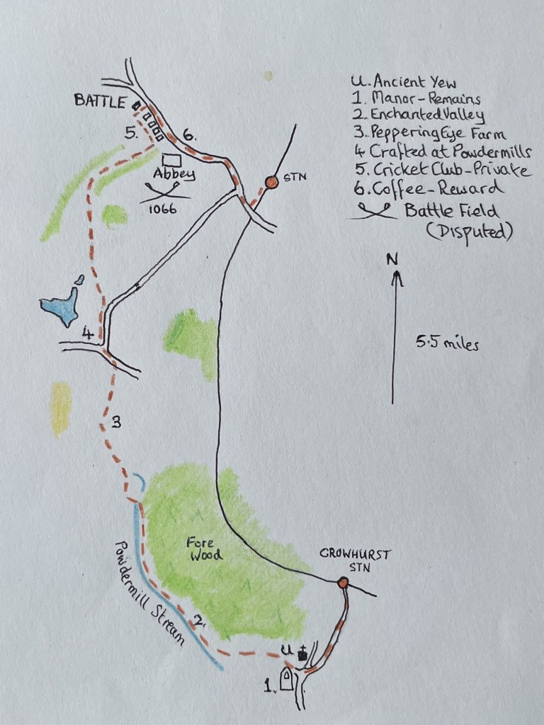
The Battle map

I parked up near Crowhurst station. Thinking ahead, as these locations get further from Hastings, I don’t fancy driving long distances for the sake of what is essentially a narcissistic leisure activity. Too many petrol miles to justify, but for the moment I can live with a few miles for a quick start.

An option at the station could have been to go directly north and approach Battle from the southeast, but it looked a bit short on the map and as it was a glorious day I was up for a prolonged wander. Starting downhill along Station Road and passing an eclectic range of mid-20th century houses, the verge splattered with bluebells and primroses, I was full of positivity, which I can report from the outset, lasted for the next two hours.
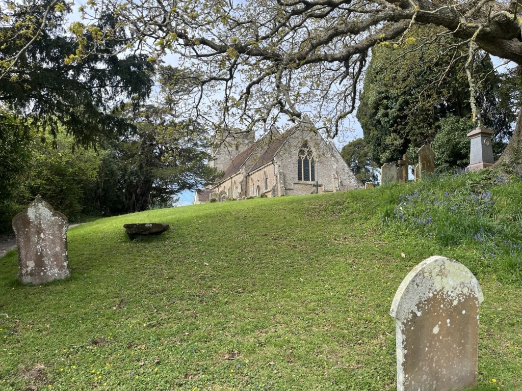
St George’s Church – from Forewood Lane.

And one of the reasons was because of this.
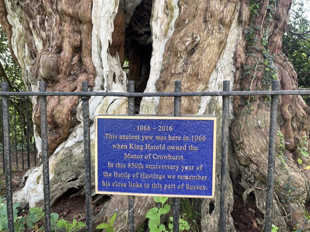
Ancient U

In the previous report (that would be number 1), I briefly mentioned that a hard core group of activists have, some might say heretically, argued that the Battle of Hastings in September 1066 did not happen at the official English Heritage site located in Battle (clues in the name I guess), but somewhere near Crowhurst (other “conspiracy” theories are available). I have an open mind on the subject, but in any case, the main point of interest in the graveyard of St George’s Church is its ancient yew tree (pictured above). Estimated to be 1300 years old it would have been a mere sapling at the time William marched his troops from Pevensey Bay (or Bulverhythe, or Hastings – take your theory pick), and up this, or maybe the next or previous valley. Whatever, it was there then and perhaps people then already marvelled that it was 300 years old.

Now this would be impressive (well it is but there’s a spoiler coming). Thirty odd miles to the north, in Surrey, there is a village called err… Crowhurst, just down the road from South Godstone. It has a church too. It too is called St George’s. I’ve never been there, but it has a yew tree that is thought to be 4000 years old. That’s 2000 years before the Romans arrived! I just don’t believe it but if true then our East Sussex St George’s church in Crowhurst yew tree is frankly embarrassing and unworthy of the blue plaque it sports. It is also important to be aware that if anyone happens to read this and feels the burning need to follow this walk, not to make the cardinal mistake of starting in the wrong Crowhurst. The following account will instantaneously become redundant and could lead to unintended consequences. (I just have to say this to cover myself and avoid potential litigation).
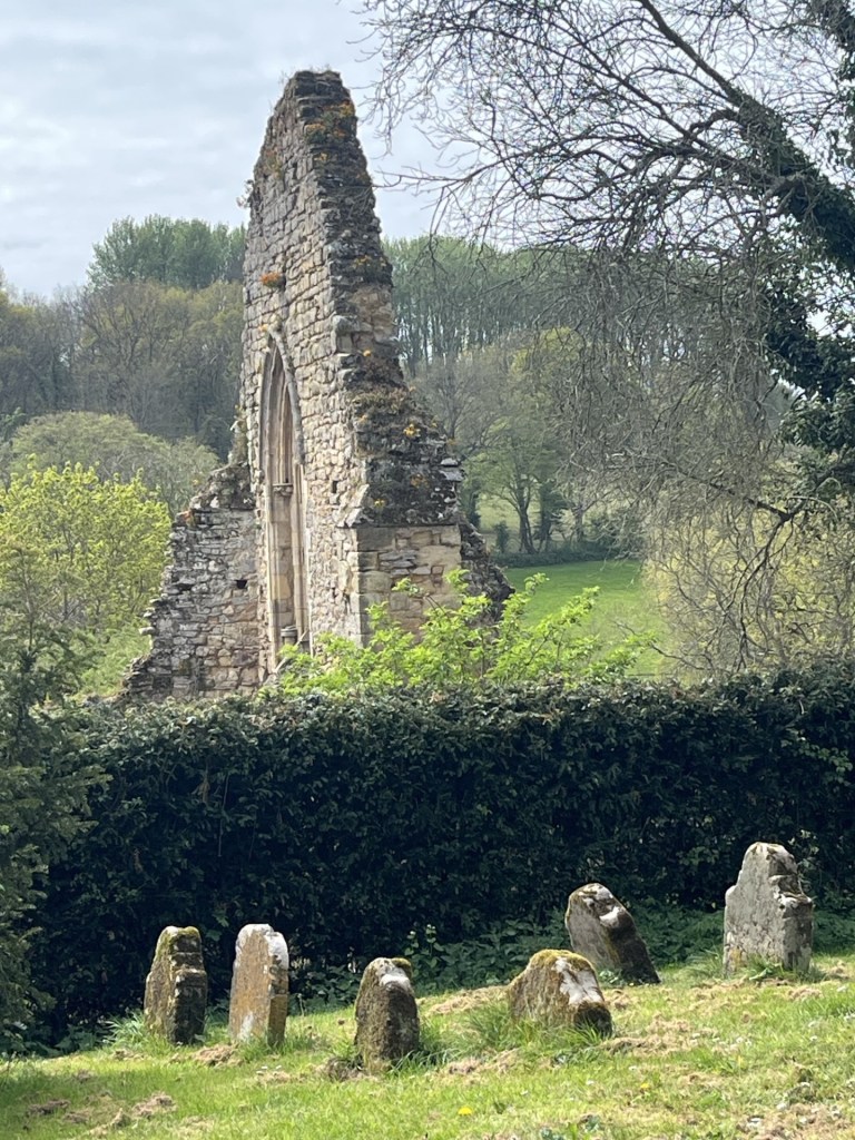
A yew trees view of Harold’s Manor house 

Having viewed the old log I returned to the road and turned right at the church gate, pursued by a black cat which shooed me off the premises. A few metres along I turned right up a signed footpath and onto a track between a handful of old buildings. About 100 metres and on the left the gutted remains of the old manor house, now incorporated by the surrounding buildings and making a pleasant walled garden.
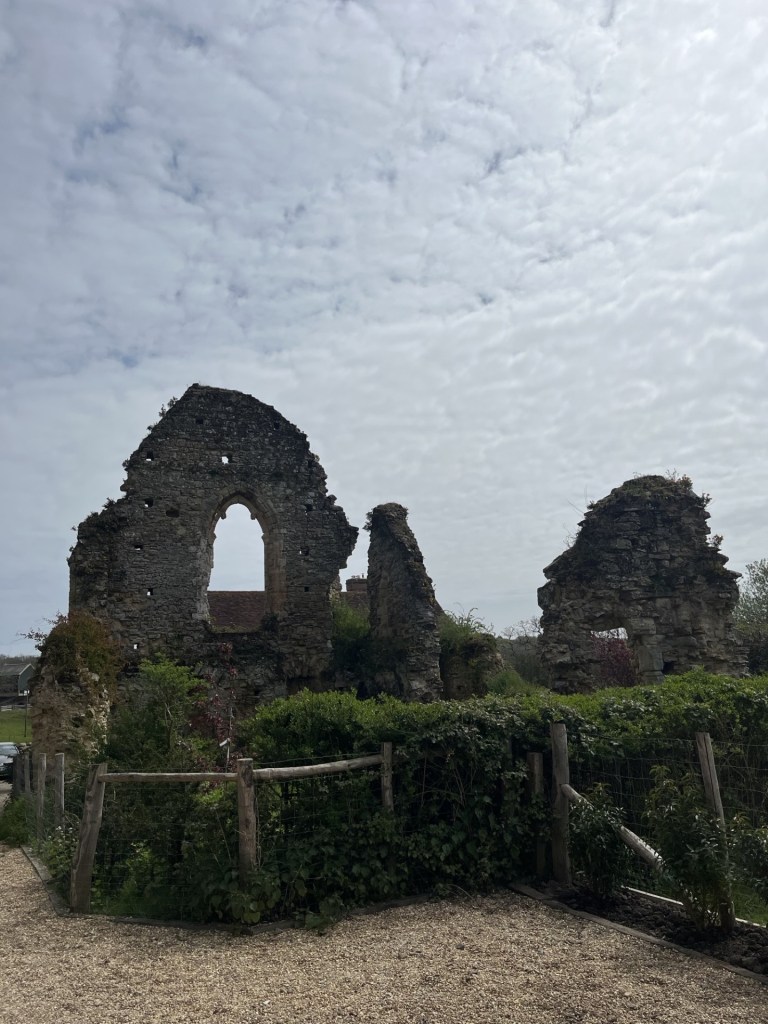
The remains of Harold’s manor house, probably a later rebuild fashioned by a Norman baron.

The origins of this structure are a bit hazy. The “official” narrative is that it was built by a Norman in around 1250. And there is no reason to believe otherwise. Except, in the YouTube video about the disputed site of the Battle of Hastings, it gets a mention. How so? The suggestion is (and it does seem to be the case) that the then Earl, Harold Godwinson, later to be King Harold the second, had his own manor in the area, and that it might have stood on this very spot. Well, who’s to say, and I don’t know, but there is very little online information to be found.  Surprisingly, about the only small entry on the Historic England Missing Pieces Project is a photograph taken by the one and only Nick Austin, who, if you have read the previous account, will know, is one of the main heretical Battle of Hastings site sceptics!! And again, who am I to say? Just saying.

The track continued on through fields and directly north. The valley to my left looked impressive, with a very orderly group of trees at the top of the hills to the south.
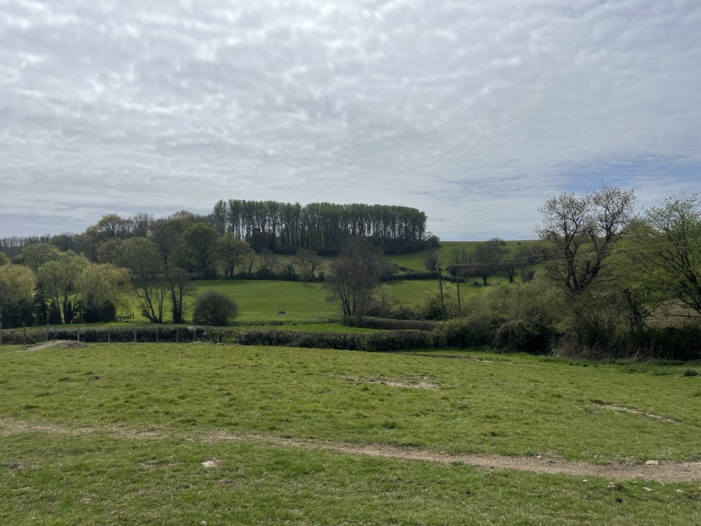
A regiment of trees crest the hilltop

Passing through a gap in a hedge the track headed straight across a large undulating field and then down to a small bridge that passed over the western arm of the Powdermill Stream (western arm).
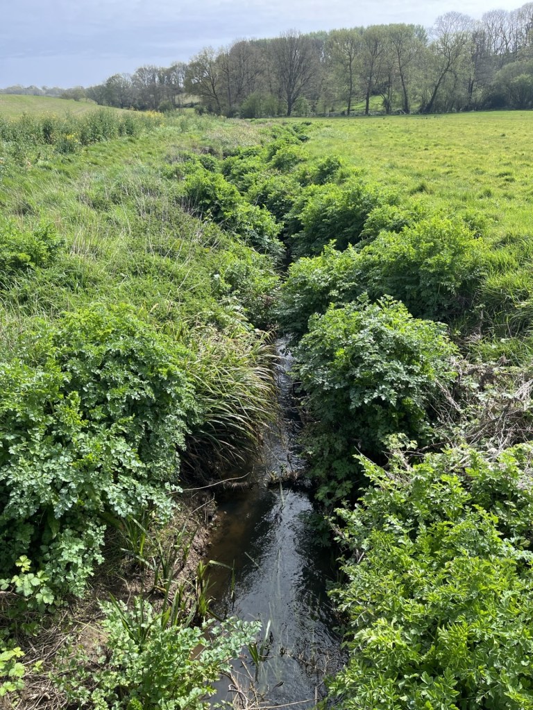
Powdermill Stream

Footpaths carried on north on both banks. I chose the eastern bank and then over a style and into a wide, long meadow with the Fore Wood nature reserve to the north, looking spectacular with new growth peeking through and with the stream to my left.
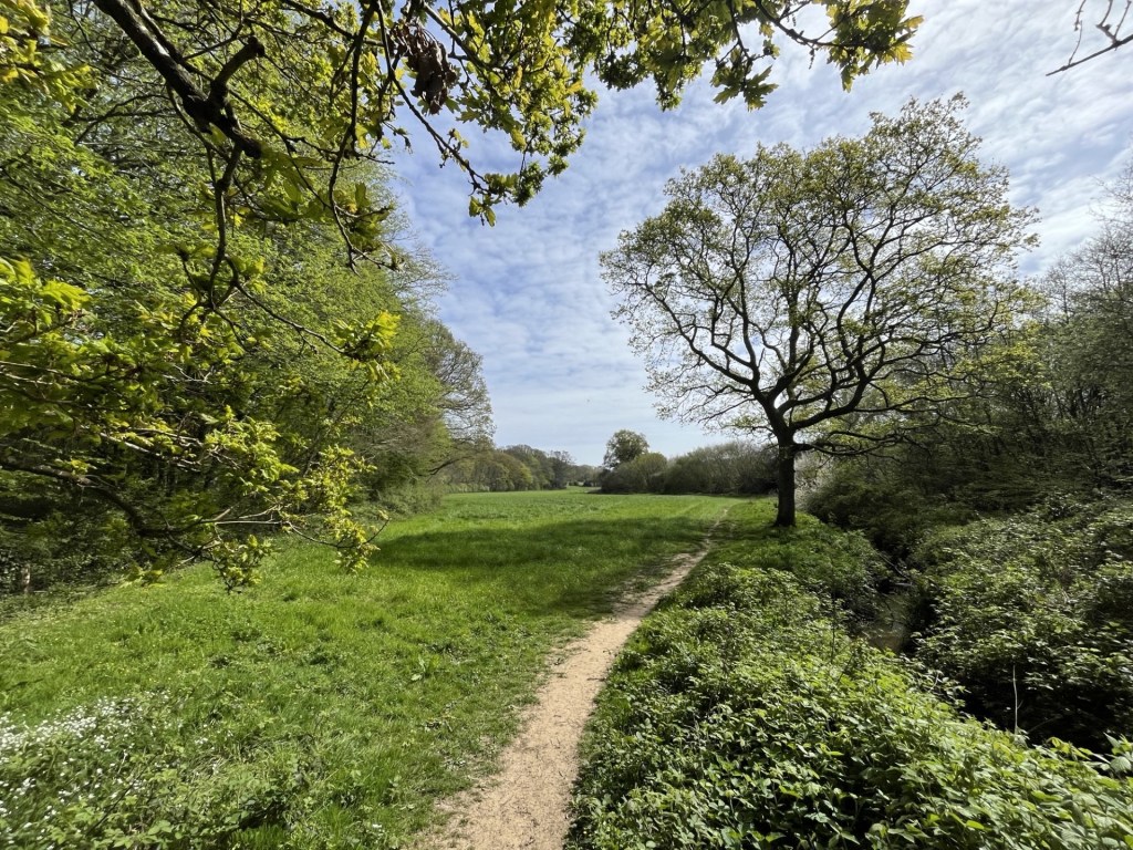
The end of the meadow – an enchanted vale

It felt like a small piece of paradise, and I was in no rush to reach the far side. Naturally, too soon I reached the end and now headed into the woods. A man with two large but passive dogs approached and we agreed that it was a beautiful spot. Bluebells and wild garlic disappeared up through the undergrowth in all directions.
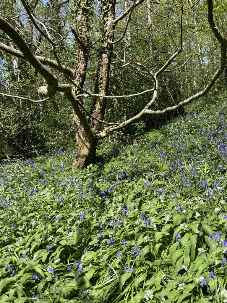
You’ll need to imagine the pungent smell from the wild garlic

Continuing on a winding and undulating path through the woods and just to the right of the stream, surprisingly wide at this point, the idea that I was within a mile of Battle’s suburbs seemed absurd.

The path eventually spilled out at a bridge back over the stream, which I crossed and started up a bank that led to a small road. I should say that by joining the path in Fore Woods I had stumbled onto the 1066 Country Walk – Bexhill Link, and by turning right onto the road I was going to continue on this route for the rest of the journey (I think). A short walk up through more woods and I arrived at a large old manor house affair. I took the road to the right, moving north and headed back down into a glade which crossed back over the Powerdermill Stream, much wider at this point and where it felt like a mill might have once stood.
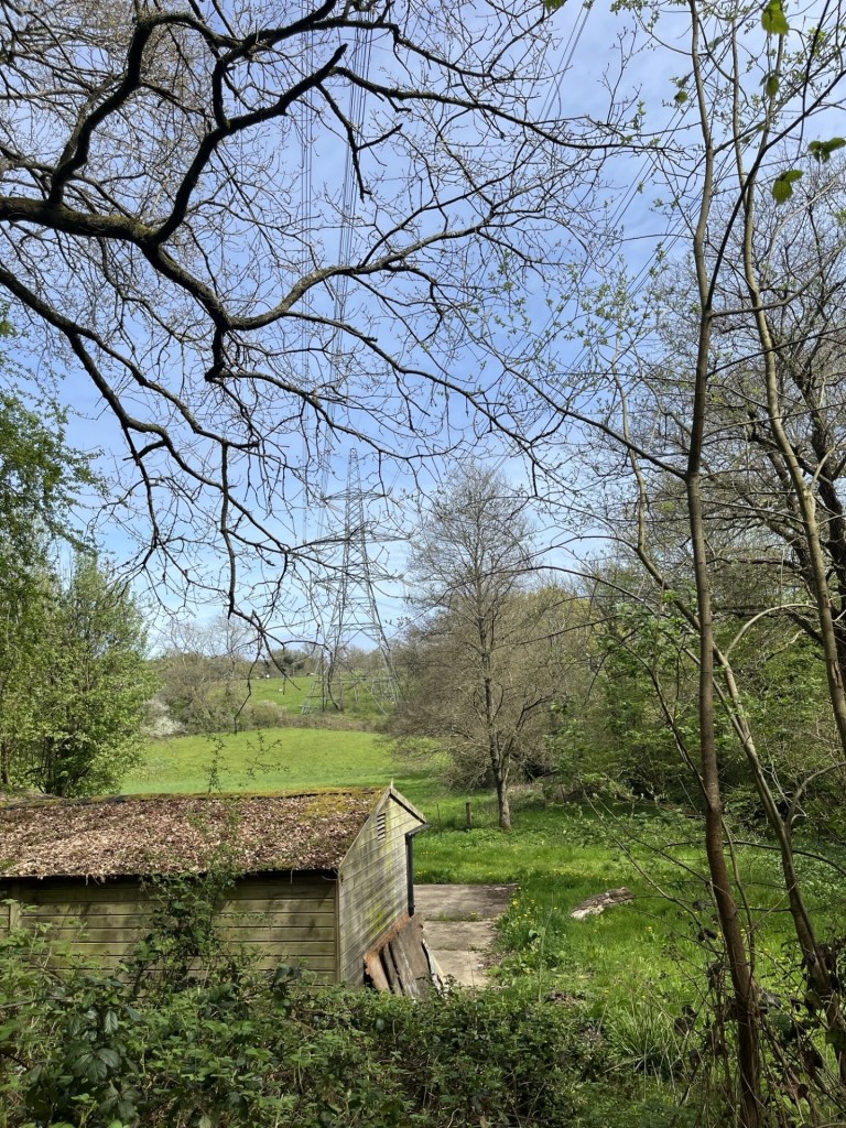
If you are ever lost, but presented with pylons and possess a map, you are found

The road headed uphill again, with occasional large houses to the right. By now I was expecting to encounter urban sprawl at any moment, but instead the road wound down again and then through a cluster of old and new buildings that seemed to go under the collective identity of Peppering Eye. The background was to this nomenclature was unclear, but of course somewhere in the neighbourhood, nearly 1000 years ago, being peppered in the eye was definitely something to be avoided. This was a very chic location, with all the hallmarks of past and present affluence. Several buildings stood out but I was quite taken by the old oast house (or was it a windmill?).
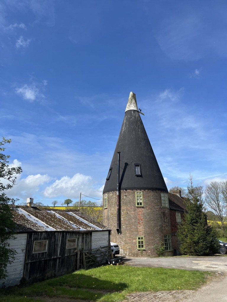
Interesting! Word, is trying to autocorrect oast to “oust!” So much for regional AI nuance.

Beyond the buildings the road continued with heath type land rising to the right but across the valley to the left, fields of rape gloriously shining effervescent up the western slopes.
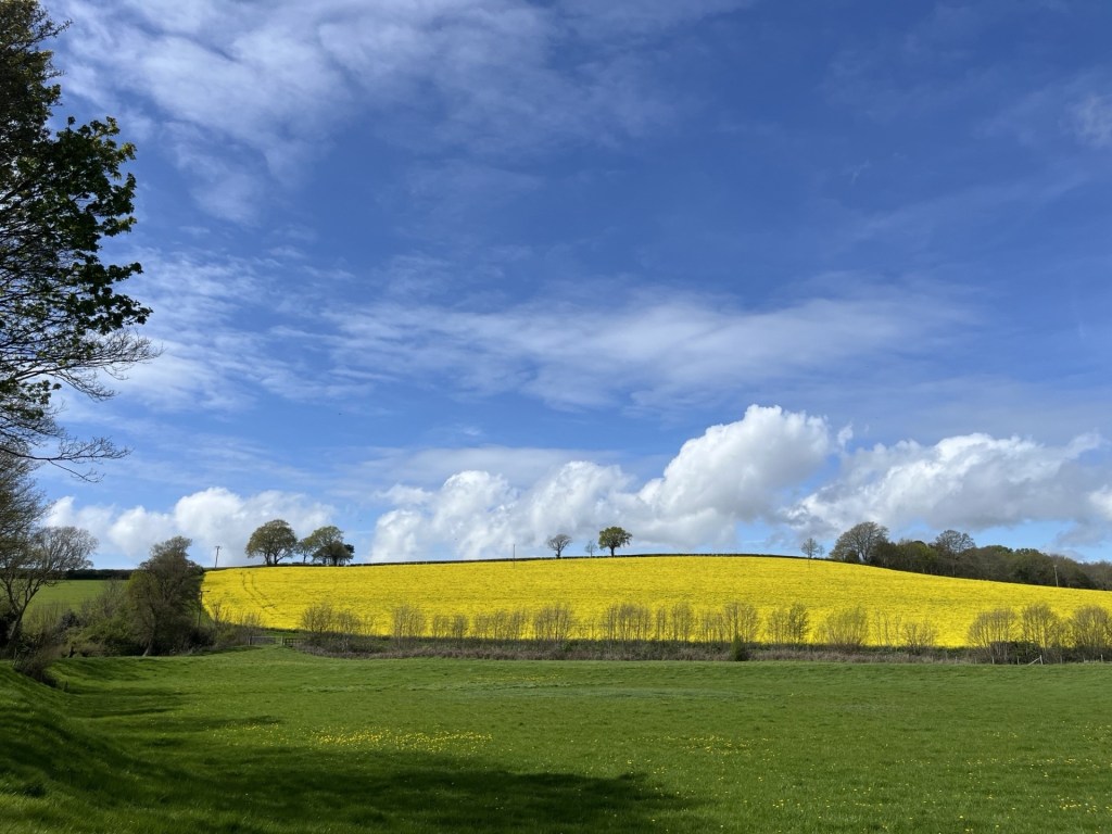
The definition of perfection

Guess what? It was now hot and I was down to my t-shirt, the first time this year and it felt joyous. I was in a place where, for just a while, I wasn’t thinking of or being troubled by my own difficulties (just life things) but more significantly, Donald Trump and his warmonger minions. I suppose for balance I should add the Iranians, Israelis, Hezbollah and the rest, but one way or another the recently self-released image of the Donald as Christ (no, sorry, as a “doctor”) had inflicted a new low point on humanity. 

Anyway, I wasn’t thinking about any of that when I reached the junction with Telham Lane and turned left. Just past the Telham Lane Borehole (I made a mental note to remember this place for when the tap water runs out later in the summer) I crossed over Powdermill Lane (B2095) and up onto a footpath above the road to the right and the expanse of the Powdermills Hotel on my left. Only I had been under the impression that it had closed some time last year. Seems it had but has reopened as Crafted at Powdermills. A massive new carpark and high-end sporting facilities, but also allotments and a slightly alternative feel amongst the 4 by 4’s and SUVs. Good luck to it.

At the top of the path, I crossed the back road into the facility and back onto the path that led through some modern barns and then into fields. To my right a fence indicated private property, and as the path led back up another hill the landowner’s details emerged.
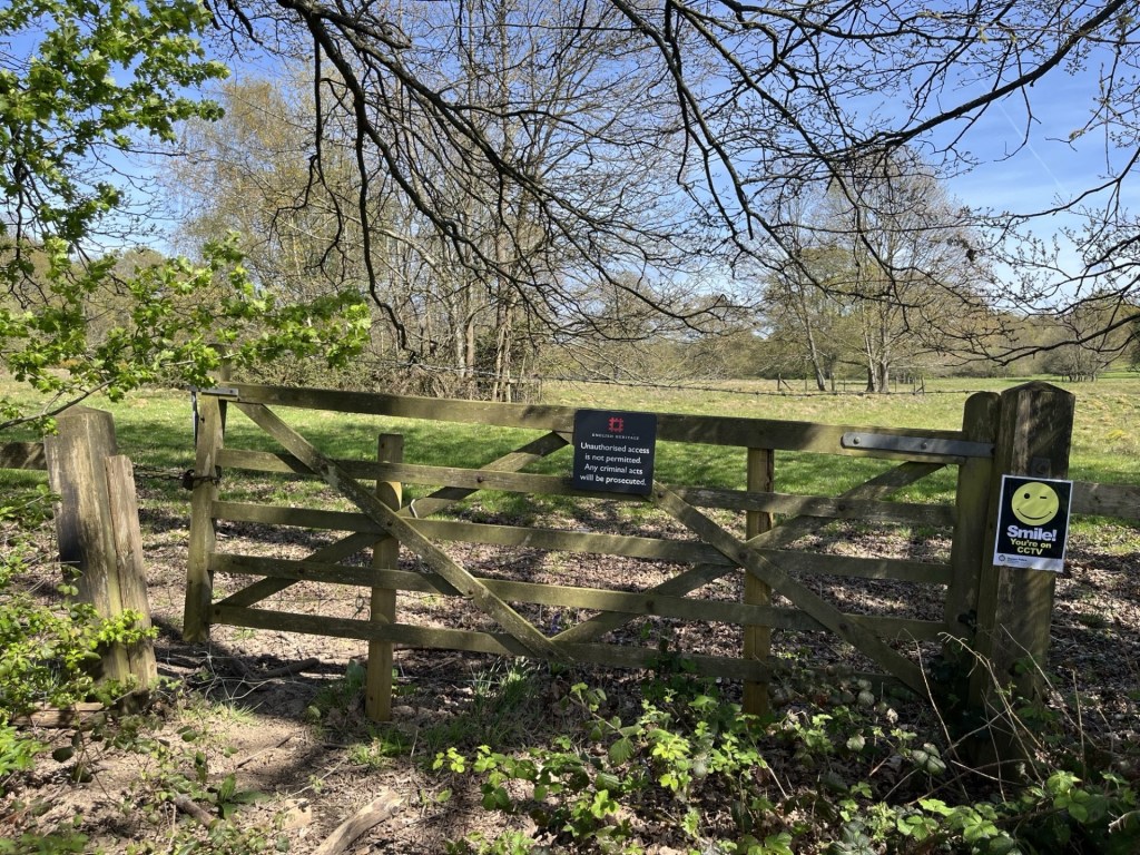
Smile…you’re on English Heritage CCTV

English Heritage! Holders of the flame. 1066 and all that. I stopped a moment and looked around for the CCTV camera. I wasn’t going to enter (I’d been before) but it did strike me as all being a bit absurd. If we take it as read that the land beyond the gate and fence was where the Battle of Hastings took place, why have we put a fee-paying barrier around it? Whilst the battle itself was a relatively small-scale affair compared with other medieval wars, and those beyond in the East, it can be argued that the result itself was one of the most pivotal in world history. The immediate impact of the Norman conquest completely changed the British Isles (England up to that point was considered a model of administrative modernity in Europe at the time), by imposing an entirely new and ruthless political and landowning class. As the centuries passed the spirit of Norman expansionism and its internal disputes between the landowning class and the monarchy slowly shaped the legislature and colonial ambition that was ultimately exported around the world, for good or bad. Had Harold’s army won the day it would have all been very different.

And so, this most important of sites, essentially a field with some impressive, but not valuable old ruins, can only be seen by shelling out £15 if you’re an adult and £7 for a child. I’d make it free. Magna Carta and all that (except that’s somewhere else).

At the top of the hill a solitary Chestnut tree crowned the crown and framed by a blue sky with scudding clouds.
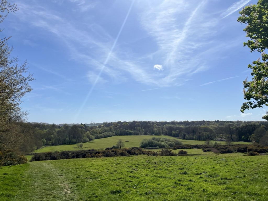
A look back on where I’d been

The track continued around the side of the Battle Abbey site and towards the end a small path edged around the backs of the High Street buildings with a cricket pitch on the left and warning signs that anyone not a member, but found using the nets, was trespassing. The message was clear.

I followed a lane through to the High Street and with enough time to spare I stopped for a coffee at Bonnie’s Bistro. Sitting outside in the heeling sun, and with an endless stream of traffic for entertainment, I played a game of “spot the normal car”. It was only as I took the last sip that eventually an old-style Fiat 500 slipped by without having to slow down or navigate awkwardly to avoid lateral damage.
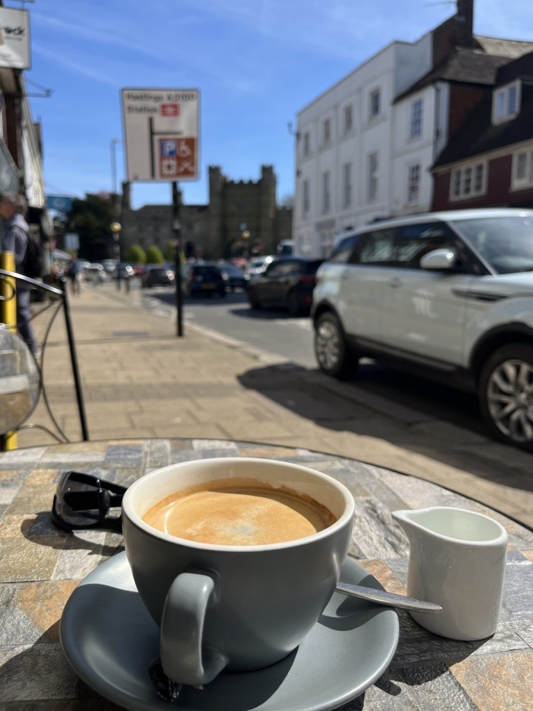
Within striking distance

Having dispatched the caffeine, I rounded the high walls of the Abbey, then down Upper Lake and right onto Lower Lake and to the slip road for the station.
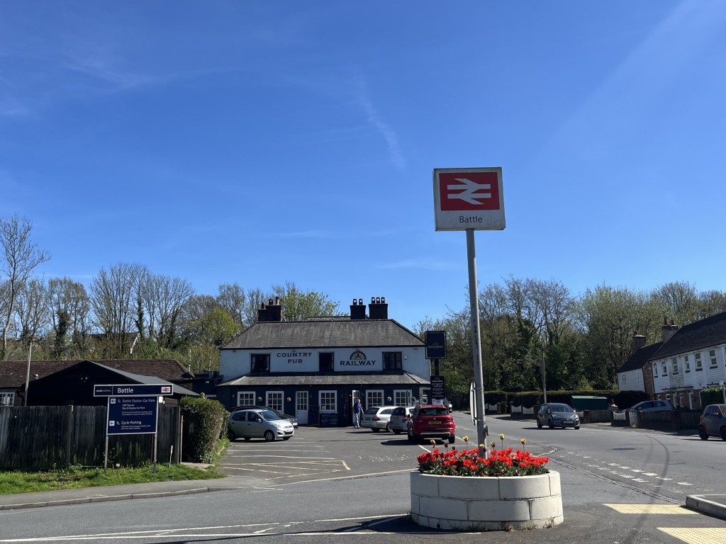
Turn left before the Railway Inn

A short walk along the approach and the station presented overlooking a large carpark.
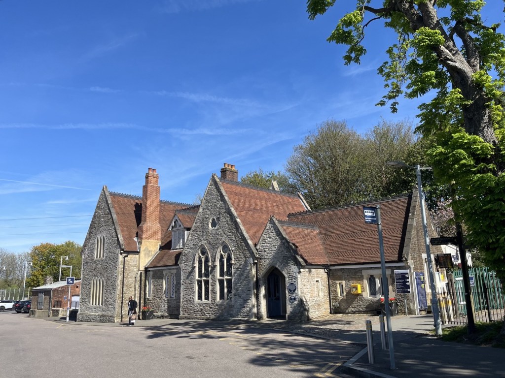
The station building
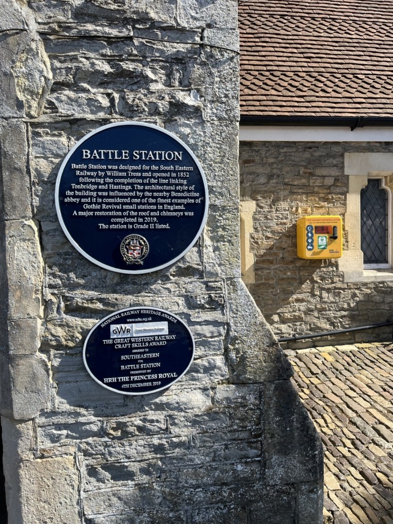
The plaque

A fine building with a plaque that confirmed it, but its fine rustic detail diminished by the sprawling car park laid waste in front.

With a bit of time, I bought a single to Crowhurst, popped over the footbridge to the down platform, sat without peeking at my phone for ten minutes and looking down the line and at the trees instead, reflecting on what an excellent walk it had been.
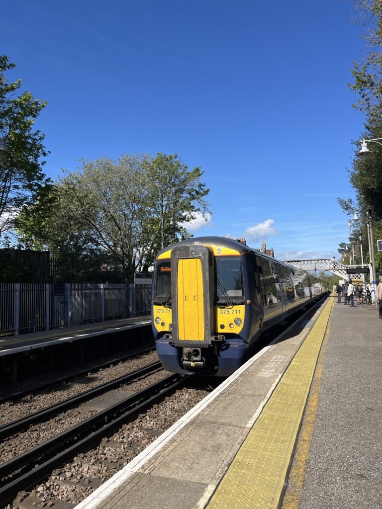
Crowhurst bound

Back in the car, the tune that accompanied me home seemed very appropriate. A top day.

https://www.youtube.com/watch?v=AB-2XnsRDhs&list=RDAB-2XnsRDhs&start_radio=1
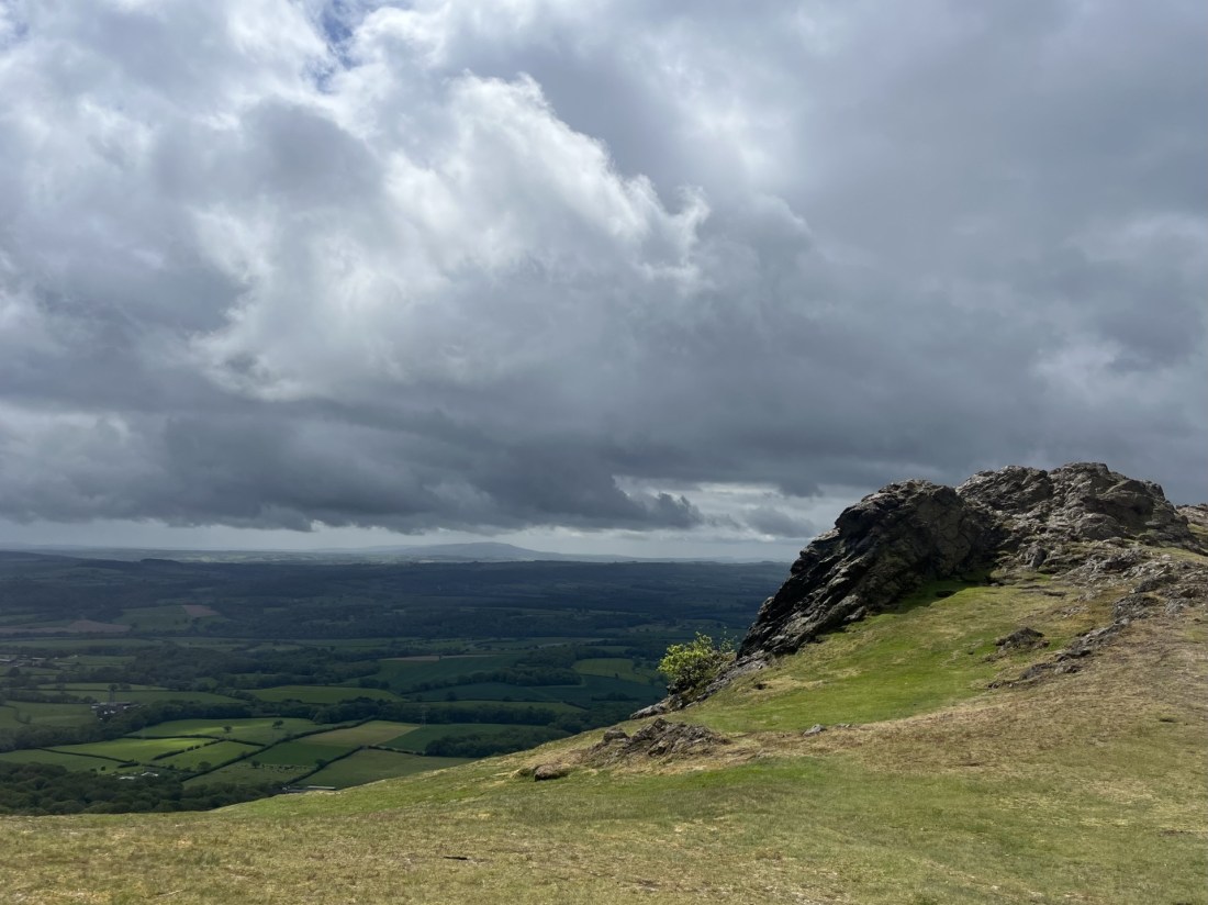
Cresting the County – Telford and Wrekin Unitary Authority

The Wrekin

407 Meters

1335 Feet

20th May 2026

Heaven’s Gate, the National Trust and Groundhog Day

I had spent the night in Much Wenlock, a small Tudoresque town a few miles south of Telford. I had driven up and, on the way, knocked off the tops of Coventry and Solihull Metropolitan Boroughs. I had arrived in town with enough time to slip out and watch Tottenham lose at Chelsea. Nothing new in that, but with relegation just two points away, they needed to win. You can get a bit down about this sort of stuff, but it was a new day and with the last gasp game a few more days away there was no point in ruminating.

The weather was clement. The aim was to climb to the top of The Wrekin (pronounced Ree-kin) but I had all day so chose to visit Telford and Coalbrookdale first to have a quick look at our industrial heritage and enjoy a coffee. On the way I spotted a National Trust sign pointing to a place called Benthall Manor. My daughter had procured me a year’s NT membership at Christmas, and so far, I hadn’t had an opportunity to enjoy the benefits. Excited, I drove down a long tree lined lane and found myself in a small carpark. If you have read any of my other accounts, you may know that on more than one occasion I have had midsummer meltdowns whilst trying to pay money to the National Trust at their carpark payment machines – the worst anywhere. Here, all I had to do was swipe my membership card and hey presto I had two hours free parking.

I toddled over towards what I assumed was the entrance to the estate, fronted out by unique looking church.

St Bartholomew’s Church from the meadow

I passed through a gate. A middle-aged couple, the woman on hands and knees and apparently weeding, looked up and smiled. “Are you hoping to visit?” asked the man. “Only, unfortunately we’re closed today.” Of course, of course it was going to be closed – during half term! He apologised of course and explained that there had been a change to the opening days, which sounded so limited I wondered why they bothered opening at all. Never mind, it was a pleasant conversation, and the man informed me I was allowed to have a wander around in the meadows just to the south of the house. “Have you come far?” asked the woman. I could have said Much Wenlock, but where’s the fun in that? “Hastings,” I replied, hoping to infuse a guilt trip. It failed to register. “You’re welcome to look in the shop.” I thanked them and said I would take the meadow wander trip instead. As I turned to go the man added that the carpark was also free today. So, that was all good! Bah humbug!

The meadow – overwhelming colour and birdsong

Having singularly failed to benefit in any way from the National Trust membership card, I drove away, quietly cursing the aristocracy (maybe unfairly) for every bad thing that had ever happened in the world. Twenty minutes later I was standing in front of the Bedlam Furnaces in the Severn gorge. The modern age, it all pretty much started here and here abouts.

The remains of the Bedlam Furnaces

A few minutes later I was quaffing a coffee and overlooking the original Iron Bridge in Ironbridge, or course. 40 minutes free parking immediately next to the bridge made up for the disappointment of the free parking back at Benthall Manor.

This is the modern world

I drove up through Coalbrookdale, glancing here and there at the old industrial heritage, which I later found out had just been acquired by the National Trust and was reopening after some months of closure that day. I wouldn’t have been able to get in if I had wanted to as it had been fully booked for months (there was a feature that evening on the local BBC news).

Before I set off for The Wrekin, I had one more historical site to visit, and it lay just to the north of the M54 in Wellington. On my way I pulled up at a set of traffic lights where opposite I recognised the Swan Hotel. That had been unexpected, but the memories instantly returned.

The 9th of December 2017, and pretty much on a whim, an old friend and I drove north from London to spend the night at the Swan in Wellington. There was a good reason, which I will eventually come to. On the radio was live commentary on the Crystal Palace v Bournemouth Premier League match. My friend, a solid Palace supporter and I (a follower but not a supporter as such – see all previous references to Spurs) listened excitedly as Palace went in at halftime 2-1 up. We were on the M6 and heading through Birmingham as the second half kicked off and at precisely the moment when an unexpected weather bomb kicked off too.
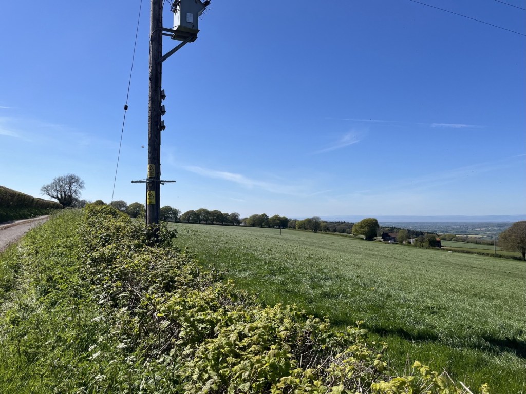
Reaching the M54 the snow was falling so hard it occurred to us that we might not make it to the Swan Hotel. That would have been a disaster, but an even bigger disaster was that Bournemouth had equalised, and my friend’s mood had taken a turn for the worse. We made it into the outskirts of Wellington, already under a couple of inches of snow, when Palace, with just a couple of minutes to go, were awarded a penalty. Jubilation! Except when the commentator announced that the penalty taker was going to be Christian Benteke the gasp of despair from my friend was visceral. Benteke had been a powerhouse success at Liverpool, scoring goals for fun, before moving to Palace where whatever skills he had previously possessed immediately vanished. Crystal Palace can have that effect on people. And of course, when he inevitably missed the match winning penalty we both went into meltdown, although me less so as I tried to maintain contact between the tyres and the road.

Arriving at the Swan Hotel, where we had booked rooms just for the night, my friend was in a deeply foul mood. Nothing of course that a good pint couldn’t fix before setting off to the main destination, The Wrekin Inn, where we were going to be royally entertained. Except, in the hour or so since our arrival, the snow had continued to fall, and now, several inches deep, the prospect of walking the mile or so to the Wrekin was obviously unrealistic. No worries. My friend had the answer. Uber. Uber was quite new on the scene at the time, but my friend who resided in the heart of busy London now swore by it. As I never used taxis, I barely understood the technology, but I had made some observations on our way into Wellington, and something about it struck me as perhaps being slightly behind the curve, so to speak. My friend gazed at his mobile phone and tapped away, getting increasingly frustrated. I noticed a card to my right advertising a local taxi company. I went outside into the storm and called the number. No problem I was told, a cab would be on its way soon. I went back in. “We’re not going to make it mate,” my friend cried. “Says here that the nearest Uber is in Manchester!!! Where’s that?” At that moment my phone pinged. I looked at the screen and a text message popped up. “No worries,” I said, “I prefer to shop local. Taxis arrived.”

Five minutes later the taxi slipped, quite literally, into the carpark of the Wrekin Inn. It was dark, with six inches of snow piled high on the benches in the garden. What on earth were we doing here? The answer presented itself just a moment after getting out of the cab. Another car entered the car park and pulled up just past us. The doors opened and out climbed an elderly man, with long straggly hair. And it wasn’t Jesus in his dotage either. It was better than that. It was….

We nodded and smiled and let the man and his partner go ahead of us, praying they’d make it to the door without accident. 

There were about fifty similarly aged males and females in the pub. We settled down and waited for the big event.

On a Sunday night in April 1974, just sixteen years old, my friend and I and three others from school stood in a long queue in an alley that ran down the side of the Nestle’s UK offices in Croydon. At the front of the queue a locked door marked the entrance to the Fox Club, a music venue more commonly called the Greyhound. Bands playing the Greyhound were either on the way up or were on the way out. It was a venue that we had frequented on many Sunday evenings in the early 1970s, but whereas the groups we had seen to date had been known to us from the radio and TV, the act we were about to see was a complete unknown. Except to Jon. Jon was different. We were all into folk rock, heavy metal, Bowie and the blues, but Jon somehow had access to a wider source of inspiration. Jon was soft and thoughtful, which betrayed a loose association with some Hell’s Angels. In a world of random violence, and emerging from an overwhelmingly skinhead culture, perhaps that was his survival technique. 

For some weeks Jon had been banging on about this band he had been listening to. From his description there was nothing about the band’s style that appealed, but when he begged us to go with him to see them at the Greyhound, we couldn’t refuse. It was Jon after all.

That evening in the alley, there was a different look to other evenings. The adults (almost everyone was always older than us) appeared to be a bit older than the usual crowd, and the denim and leather was worn more like a skin. It was nearly 7pm when a battered old white Rolls Royce slipped down the service road, stopped and then moments later the band jumped out and disappeared through the double doors. Jon, sitting on a metal dustbin, had gone into a catatonic state but managed to mumble something about God, man, before falling off his perch!

In the club we bought our drinks and watched the support band – Charlie – of whom I have no memory. Around nine the excitement was building. Well, Jon’s excitement was rising. The rest of us were still wondering why we were there. Then the lights went down, and seconds later the three piece were on stage emitting a thunderous, feedback induced wall of distortion that nailed us all to the spot. It was our introduction to the mighty Groundhogs, with the leader of the pack, Tony (TS) McPhee, diminutive and with receding hairline, centre stage, hitting the pedals and twisting notes and grooves out of his cherry red Gibson SG guitar and tearing our eardrums to shreds.

By the time I had saved up enough money for my next album, it was a no brainer. Split by the Groundhogs was already a few years old (needless to say, sadly by the time we saw them they were on the slow lane out of the scene), but it remains one of the few albums I can still put on now and be blown away each time by its dynamism, contortions, freshness and authenticity.

Sometime in 2017 my friend emailed me and asked me what I reckoned. There was a link to Facebook, and details of a gig at the Wrekin Inn. The band were the Undergoundhogs. The idea that anyone, anywhere in the world would have the balls to form a “tribute” band to the Groundhogs seemed ridiculous. But there it was. Now the Wrekin Inn is located about 150 miles from London, and it was in the middle of winter. Interesting, but that’s quite a commitment if we were going to make that journey. But there was an additional hook (and just for the record, the Groundhogs were John Lee Hooker’s backing band when he toured the UK in the 60s). The Wrekin Inn happened to be Tony’s local, and the rumour was that he would be there too! It had to be done.

We’d had a couple of beers by the time the Undergroundhogs, four middle aged men from Portsmouth, came on stage, plugged in their gear and then launched into one of the classics. They weren’t just good, they were outstanding. Perhaps having a second guitarist helped keep it all together (sometimes the complexity of McPhee’s chords and licks could undermine some of the live performances), and they ripped through tune after tune with confidence. All the time Tony McPhee, who by then had acquired multiple ill health issues, sat at the front smiling contentedly and listening to his own legacy. The night wore on and eventually, after a lot of encouragement, Tony strapped on a guitar and joined the crew in a largely discordant but ultimately life affirming solo. Whatever track they were playing, McPhee, to his credit, was playing something entirely different.

It was the last time Tony played on a stage, and he died six years later. No mention on the main news channels, but effusive tributes in the Guardian and other “serious” papers. Trying to define the Groundhogs would be impossible, and there is no point trying. They are not the sort of band that history will rediscover and then find themselves having 100 million streaming downloads, but Tony McPhee was one of the most talented and original British blues guitarists the world has never heard of. And there I go. Whilst the music was based in the Blues, what the Groundhogs did was almost everything else but. McPhee was as far from being a rock star as you could imagine. Yeah, he had long hair (mainly down the sides) and a Zapata moustache, but he wore baseball boots, ancient black jeans and no logo black vests. In the 1980s he stopped being a rock god and for some years worked as a BT engineer in south London. In the 90s and 2000s he toured small venues with a range of musicians, and my friend and I saw them a few times in pubs around north London. Some of these gigs were better than the ones we had seen at the Greyhound in the 70s, but eventually he suffered a stroke and that was the end of that, until of course, when some geezers from Portsmouth decided to recreate the music, then get in a van and drive from Portsmouth to Telford in a snowstorm to pay tribute.*

Back at the Swan Hotel, after a local taxi firm had enabled a return, it seems we had missed the big wedding fight. Who cared?

The Wrekin Inn – May 2026. One day a blue plaque will record that this was where Tony McPhee plucked his last chords. The Wrekin Inn now hosts the Groundhog Blues Club

I couldn’t wallow in nostalgia forever so drove out of the pub’s carpark and then went west. I passed under the M54, and it occurred to me that on the few occasions over many years that I had driven towards north Wales I had always noticed a strange looking hill to the south, often enveloped in mist, and wondered if it could be The Wrekin. I’d never bothered to investigate further, but as I came around a bend in Holyhead Road (which seemed a bit unlikely) I was no longer in any doubt.

The Wrekin from the north, rising like the rear end of a humpback whale in an ocean of fields.

A line of cars on the left-hand side of the road suggested I was in the right place, and very fortunately, almost certainly in deference to the elderly, a space materialised directly opposite the start of the Wrekin Trail. Struggling with a heavy cold I looked across the road at the start of the trail and momentarily had some doubts. It was busy, with a steady flow of healthy-looking young people dressed in sporting wear entering and leaving the trail. After a few minutes dawdling around the car, checking for deflated tyres, or some hitherto unidentified defect, I donned the boots and set off, knowing that if it was too much there was a tearoom halfway up.

As soon as I stepped onto the wooded trail, I was enveloped in the pungent waft of sweat. People were running up and down the trail, but this was the intoxicating smell from a swathe of wild garlic that covered the lower slopes. It was obvious that it was only ever going to be an upward struggle and concentrating on my breathing I started slowly. It didn’t take long before I was peering through the trees and seeing the parked cars far below. A large young man in just a pair of shorts and trainers, whooping and hollering, appeared above, hurling down the path at such a speed that had he made one small mistake he was going to be seriously regretting his lack of clothing. Shortly afterwards a couple of women jogged past me on the way up. A collapsed tree to my left gave me a good excuse to stop for a minute and pretend to show an interest whilst I refilled my lungs.

At a point that I was already prepared to lay down and exfoliate slowly

I continued the trail. The cafe had to be nearby. A sharp bend in the path to the right increased the gradient (great!) and after putting in the effort I was outside the Halfway House cafe. As welcome as that was, it felt slightly premature. I couldn’t have been walking for more than twenty minutes or so. Anyway, a cup of tea would have been welcome. Except, it was closed! The knowledge that there would be a refreshment stop on route had been one of the motivating factors that had got me to put on the boots. And now there wasn’t. I walked on a few paces and stopped to look down a trail. At exactly that moment a female roe deer walked nonchalantly into a glade twenty meters away, stopped, stood stock still then looked directly at me. It took about five seconds to conclude I might be a threat and was suddenly on its toes and way, followed by a second smaller female that didn’t stick around to reach a second opinion. I would have happily called it a day at that moment, but I still had an objective.

Around another sharp bend, this time to the left, the path carried on in a relentlessly upward trajectory. I was still having problems with my breathing, but with the continued steady flow of joggers and seriously fit runners passing each way, I felt obligated to carry that weight and plough on. Here the trees began to thin out, with views opening to the west and north. It was getting impressive.

Looking north through the woods

The wide track again decided to up the ante but increasing in degrees. Lorks! Plod, plod on. At the top of this challenging stretch, it began to flatten out, and the next two hundred meters was the first opportunity to relax a bit and generate a bit of movement. I should say, for balance, that under normal circumstances this would not have been such an arduous affair, but I do want to emphasise that I was suffering a severe case of man flu (not that I am after any sympathy, but…).

The easy bit

It was hard to know if I was getting near the top, but at the end of this benign stretch a notice board appeared and demanded some attention.

Surprise, surprise, an Iron Age fort

There was no immediate evidence of any earth works that supported the argument that an Iron Age fort had existed here, but it didn’t surprise me. The wide and well-worn path continued to snake up through the trees and then beyond onto something more like a plateau. Directly ahead and up I could see the easily identifiable feature called Heaven’s Gate, as advertised on the information board.

Looking up at Heaven’s gate. Almost certainly named by a man.

It was the obvious route up, but frankly I was a tad fagged by this point and so wound a gentler approach to the top by flanking to the right, and above the scattered buildings associated with the telecommunication towers. Now above the tree line the view was expansive.

Looking southwest towards the Long Mynd

Having reached the top of the plateau the landscape had almost completely lost the trees, except one sturdy survivor, and the shape of the hill now clearly defined.

How to spot the direction of the prevailing wind – just in case you need to know.

Looking west the view was sublime. A quilted landscape of fields rolled away towards the horizon. Many of the fields were in full arable mode, but it was quite easy to see, by the lighter perimeters, that at least one farmer was applying the “arable field margin” principle of setting aside sections of land for wildlife (I had seen this for the first time the day before when I conquered the top of Solihull). Regardless of whether this approach genuinely benefits natural diversity (I’m certain it does but of course there is an argument that it therefore reduces agricultural yield), the new pattern of farming that I could see before me appealed. The familiar view of an industrialised landscape of maximum growth, hedge, repeat, was broken by the extra layer of wild texture at the fringes. I liked it.

Evidence of the “arable field margin” approach in the fields just below the slope

For the moment I flanked around the top heading along the ridge to the south and an enticing rock outcrop, which I clambered up and then, finding a comfortable niche in the stone, squatted down to survey the land.

The rocky knoll

I could see for miles and what I saw pleased me. Hills disappeared east, south and west. After fifteen minutes of peace and awe, I set off back, and this time up to the highest point. I would have taken a photo of the trig point, but a woman with a large dog, and talking loudly on her phone, occupied the plinth so I made do with a shot of the toposcope instead.

Barren view with toposcope

The track led on back to Heaven’s Gate. There was no avoiding the obvious reference, and something about its form, presumably shaped by over two thousand years of human contact, caused me to avoid walking directly between the two mounds.

The approach to Heaven’s Gate – named almost certainly by a woman.

The great avoidance 

Curiously, the walk down was much easier than the walk up. Near the Halfway Cafe (still closed) a robin alerted me to its presence in a nearby tree. The high intensity birdsong had been evident throughout the walk, but here was some close-up evidence.

Today’s bird of the day was a robin.

It was all downhill after that, and after thirty minutes the now familiar smell of wild garlic welcomed me back to the start line. Despite wheeze bagging it to the top the Wrekin was a small gem. Very popular, even midweek, but that’s what it’s there for. Over 700 feet of elevation. There’s more to the Midlands than meets the eye. 

I wonder if Uber has reached Telford yet?

*A few weeks back my daughter’s partner sent me a text to say she had just been talking to a woman in their street who told her that she was married to the drummer from the Groundhogs! Huh?? A little bit of research and I worked out it was Ken Pustelnik – the drummer who played on the early albums, but also the classics, Thank Christ for the Bomb, Split and Who Will Save the World. 80 years old and still occasionally performing his version of the band. It’s true, the world is smaller than we think.

A last word on Tony McPhee (yes, sorry for the major digression above). He was down to earth, totally unassuming, a humanist and despite the hard rock appeal, wrote intelligently on the instinct of mankind to desecrate everything it touches. He wasn’t a hippy, but he was a visionary. This is from Who Will Save the World – 1972. Someone brave should play it on Radio One. Thanks Jon (RIP).

Cresting the County – Solihull Metropolitan Borough

Meighs Wood

185 Meters

606 Feet

19th May 2026

Bluebells, leaks and Laybys.

From Corley Moor, the highest point in Coventry Metro Borough, it was just a short drive to Chapel Green, then a left down Fillongly Road and at a point in the road that bore a resemblance to my mind map of the area, a muddy layby appeared on the left and I pulled over.

A hundred meters ahead, on the other side of the road and beyond a hedge, a line of trees marked where dense woods met a large field. I climbed out of the car. This wasn’t going to take long. As I started down the road, a car pulled round the bend in the road to the south and abruptly stopped at a layby on the opposite side of the road. The driver’s door opened and out jumped a man who, without further ado, marched beyond the car and up to the hedge, where quite obviously he proceeded to have a leak. It might have been just at that moment that he saw me approaching on the other side of the road.

To protect his modesty, I naturally slowed my pace and pretended to look at something that might have been interesting beyond the trees on my side of the road. Whatever it was that I was interested in failed to hold my attention for too long and by necessity I continued in his direction. By now he had finished his essentials (at least I assumed he had, but I’m sure most of us – men – have been in that unsatisfying position of being desperate, only to be denied for some unaccountable reason), and had skipped back into his car. He drove on and I crossed over.

Just past the layby a gap in a fence gave access to the woodland, and just to the right another gap in a fence gave access to the north facing field. The field was cultivated, but a wide strip of land adjacent to the woods suggested some form of set aside, which I now understand to be a “cereal field margin”, land that is left uncultivated to encourage wildlife diversity. I’d heard of it but as far as I could remember, never actually seen it before. It looked great. I’m sure that there are arguments against such wokery, but it makes sense to me.

I walked towards the top of the field and along the edge of the woods. Ahead, spilling out of the woods and into the margin, a wave of bluebells in their prime. Quite a surprise given that all around me down south had come and gone already.

On the crest of a wave

I stopped and noticed a humble bee dancing between the flowers coronets and got down close to observe. Despite my close proximity, it had zero interest in me. Too fixated on task and outcome. I recently heard that a worker bee only lives a few weeks and, in that time, makes, creates, generates, just a fraction of a teaspoon of honey. No retirement, no pension, just a grinding few weeks contributing to the greater good before it’s all over. I can’t predict the future but with AI and the ever-continuing concentration of the world’s wealth by a small few, maybe there was some sort of metaphor evolving in front of me.

Inspecting the larder

I carried on a short distance. There was a gap into the woods. I entered, but only just. Somewhere around this point was Solihull’s highest elevation. Although Peak Bagger names the highest point as Meighs Woods, their own map seems to suggest the woods I was at were called Stocked Woods, and Meighs Wood was over the road where I had parked up. I looked back out and across the field. A leaden sky, but the forecast was for something different. Up until a day or so before the nights had been cold, and the days cool and stormy. By Friday that was all going to change.

The high point – Stocked Woods

I drove away from the layby. The destination was Much Wenlock for three nights. Whilst I had reached the highest point in Solihull, the road I took to get me back onto the M6 somehow managed to avoid contact with any of the town’s urban sprawl. Oh well, so it goes.

Cresting the County – Coventry City Metropolitan Borough Council

Corley Moor

167 Meters

547 Feet

19th April 2026

From the Cradle to how long have I got?

Some years ago I had to take some personal papers across London and meet with a man to go through a few things and then sign some forms. We met at Wandsworth Town Hall and the man, probably mid to late thirties, showed me down some corridors and to an office where, after about thirty minutes, everything had been sorted. I went to leave and he said he would show me back to the entrance. I said I thought I could find it, but he was insistent.

As we walked back along the old municipal corridors, making small talk, he quietly muttered something. I didn’t quick catch what he said so I said, “sorry, what was that?”

He muttered again. I still hadn’t caught his drift. He seemed to be talking about a well-known trade comparison site, and I hadn’t a clue why. “I’m really sorry, but I don’t really understand.” And I surely didn’t.

“Checkatrade,” he replied, and as if that was in someway helpful. It must have been the look of complete bewilderment on my face that convinced him I really didn’t have a clue what he was taking about.

“I saw you’re birth certificate,” he continued, still unhelpfully.

Hmmm…

“I was born in the same hospital as you,” he clarified.

“Blimey,” I replied. “What a coincidence. Many years after me I assume.”

“Yes,” he replied. “Checkatrade.” I wondered if he had a mild form of Tourette’s before surrendering, pleading for an explanation and doing so in a way that avoided offence.

“Coventry. Checkatrade Trophy!”

“Right!”

Of course, it all made total sense. Why was I dim enough not to have known that Coventry had just won this prestigious, but otherwise unknown competition.

The last time I had been to Coventry I had just turned fifty, and that was nearly two decades ago. The time before that had been my first few months on earth in 1957/8, and being a baby living in a flat on Wappenbury Road in the northeast area of the city.

So, given that I was on my way to the highest point in the Metropolitan Borough (a first on this mission), at Corley Moor, I left the M6 at junction 2, headed south into the suburbs and then became gridlocked in traffic around a large secondary school where one in three students were being picked up by extended family. This mayhem obviously happened every day. It’s not for me to comment on this phenomenon, but from memory I don’t recall anyone at the schools I went to being picked up in a car.

Having eventually escaped the carnage I wound through the estates and finally made it to my street.

Wappenbury Road – the flats have gone, and there’s still no blue plaque!

Having reached my first destination, I wondered why I had bothered. There was nothing to be nostalgic about, given I had left before my first birthday, but I guessed it was about a sense of place and just plain curiosity.

I carried on weaving my way along streets in the northern suburbs of the city. I think I did catch a brief glimpse of the old cathedral spire, but there was no time to explore further and eventually I was out of the city and heading through largely agricultural countryside.

Reaching Wall Hill Road I headed northwest and a short time later passed over what I knew to be Coventry’s highest spot on the same road. I pulled over a couple of hundred meters on at the carpark of the Bull and Butcher Pub.

The Bull and Butcher – Nothing more to add on that.

Getting out of the car I wandered back down the road on a pavement that terminated outside the last house on the left. I could see the highest point on the road that I had driven along. I wasn’t tempted to get any closer, largely on the basis that there was absolutely no point, and also because it looked decidedly dangerous.

That’s it – the highest point in Coventry, just up the road.

And with that I got back in the car and drove out of the small village, which boasted another pub just a stones throw from the Bull and Butcher! Nothing particularly special about the place but it would be remiss not to add that by the end of today (the 24th May 2026) Tottenham Hotspurs could be relegated from the Premier League. Two weeks ago, Coventry City were promoted to the Premier League after an absence of twenty-five years. Well, if the Spurs do go down today, at least I’ll have someone else to support. It’s a jungle out there.

Cresting the County – Second Year Review – May 2025 – April 2026

I was listening to the radio recently and a woman was being interviewed about her project. The project, an original idea (if such a thing exists), was to try and eat the food of every country on earth, in London. That’s just short of 200 nights out, take-aways or gatecrashing cultural events. She seemed confident that she was going to be able to achieve her ambition.

From the Peak Bagger list of county and unitary authority high points in the UK there are, in total, 186. As the months have gone by it has become increasingly obvious to me that far from being the niche activity I thought it might have been when I started in May 2024, bagging these locations appears to be a mass participation hobby/sport/pastime/mission, whatever you want to call it.

Nothing confirmed this more than, whilst flicking through December 2025’s edition of TRAIL*, there was a two-page feature on bagging county tops!!! It featured ten very different types of locations, of which remarkably I had done four (if you include High Holborn in London which was on my original list but doesn’t feature in the Peak Bagger list – something I will need to explore further).

What was all this information telling me? Well, when I started off, I had no notion whatsoever that loads of people were already trailblazing the territory, some writing up their experiences (including at least one book) and others just doing it for the sake of doing it. I’m certainly not hung up about it, and in fact it has been useful to find out that others have already been before, but as I listened to the young woman explain how she was going about sampling all of the world’s cuisine without leaving London, I wondered if I had perhaps missed a trick.

It’s too late now, but I realised, in hindsight, that if I was going to start this all again, I would have done it differently. Instead of trying to get to the highest point in every county (and then with the compilations thrown up last year, unitary authorities as well), I should have targeted instead the county and unitary authorities second highest points. Try and find that on Google?

Overall, I think it’s fair to say that good progress was made. No big trips to the north, which just delays the prospect of me ever managing to chalk off the remaining big ones, but two excursions into South Wales proved fruitful and fulfilling, and in the process discovering the magnificent Head of the Valleys (the clue is in the name) dual carriageway, and eventually reaching the top of one of my now favourite spots anywhere; Pen-y-Fan. During the hottest of hot summers, I smashed East Anglia and was reminded how big an area of the world it is. Sadly, in March 2026 my father experienced life’s last great event and my focus naturally turned elsewhere. It may be a while before I get back into a rhythm, but just to keep my head above water I recently managed to visit two spots in the north Somerset area.

It would be remiss of me not to mention the huge elephant in the room, or on the moor, or in the suburbs. Local government reorganisation. In the last few months, details of potential frameworks for the reorganisation of counties and Unitary Authorities have slowly emerged. One such example is Essex. In 2025 I conquered the county top of Essex, and the Unitary Authorities of Southend-on-Sea and Thurrock. Job done. Not if these proposals go through. Essex will be entirely governed by five new Unitary Authorities. Suffolk, which was also ticked off in 2025 on a single outing, will now become three. My own county of East Sussex, along with Brighton and Hove and West Sussex, could become four or five new authorities. Whatever the outcome there will be at least one more top to visit in the historic Sussex area alone! I’m not sure I have the puff for that, but challenges change. The biggest challenge will not be for me, but for all the online sites, documents, maps, guides and books that will have to be amended, updated or just given up on.

And finally, there’s Bristol. I chalked off the top of Bristol last year, by visiting the Cossham Hospital site and surrounding area, the traditional high point of Bristol. Except, out of the blue, on my phone a link to a local press article appeared that explained new research had discovered that the true high point was East Dundry Hill, far to the south of the city. Given that the boundary change that created this scenario had occurred some decades before why had it taken so long for it to be recognised? To that end, Bristol remains outstanding, but at least I can say that I’ve reached its second highest point.

*In a sad twist of fate, having read TRAIL in full for the first time, and deciding that I would like to subscribe, days later I was told that the December edition was its last! These are difficult times but the demise of the written press can only make it worse (he says as he posts again online).