Introduction and first leg.
1. West St Leonard’s to Crowhurst
4th April 2026
OS Explorer 124
I had been thinking about this for a while. I live in Hastings. The direct railway to London runs north by northwest up through the countryside of East Sussex, Kent and then Greater London. Apart from seeing it all through the windows of a train on the occasional trip up to London and back, many of the areas are remote, and not obviously places to visit unless you have good reason to. In a moment of enlightenment, I realised that I could investigate these places by starting out at a station en-route, walking a few miles to the next station, and then jumping on a train back to the start point.
That moment was about two years ago, and with lots of life issues occupying my time, it was filed in the “maybe sometime” folder. Until the 4th of April 2026, when I woke to see a fine mizzle varnishing the street outside, after a forecast that had promised fair weather. The opportunity to procrastinate was tempting, but I had been bogged down in a blizzard of family issues since the start of the year, and with only a small window to stretch my legs and shake off the moribund (in more senses than one), I grabbed a coat and set off for West St Leonard’s station, intent on starting the task by walking as close as I could to the main line towards the small village of Crowhurst, the next stop on the line.
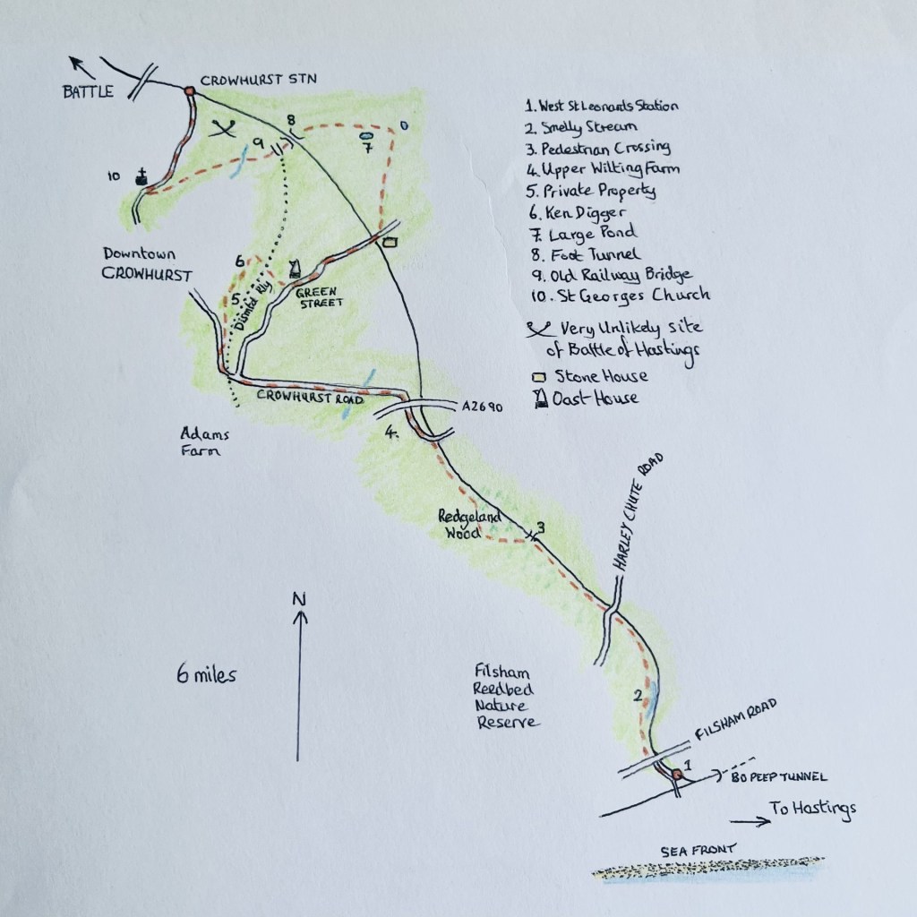
Start to Finish – Follow the spine of the seahorse. Made with ancient recently rediscovered paper
The fine mizzle remained. I stood on the nearby road bridge that spans the Eastbourne and Victoria station line to the south.
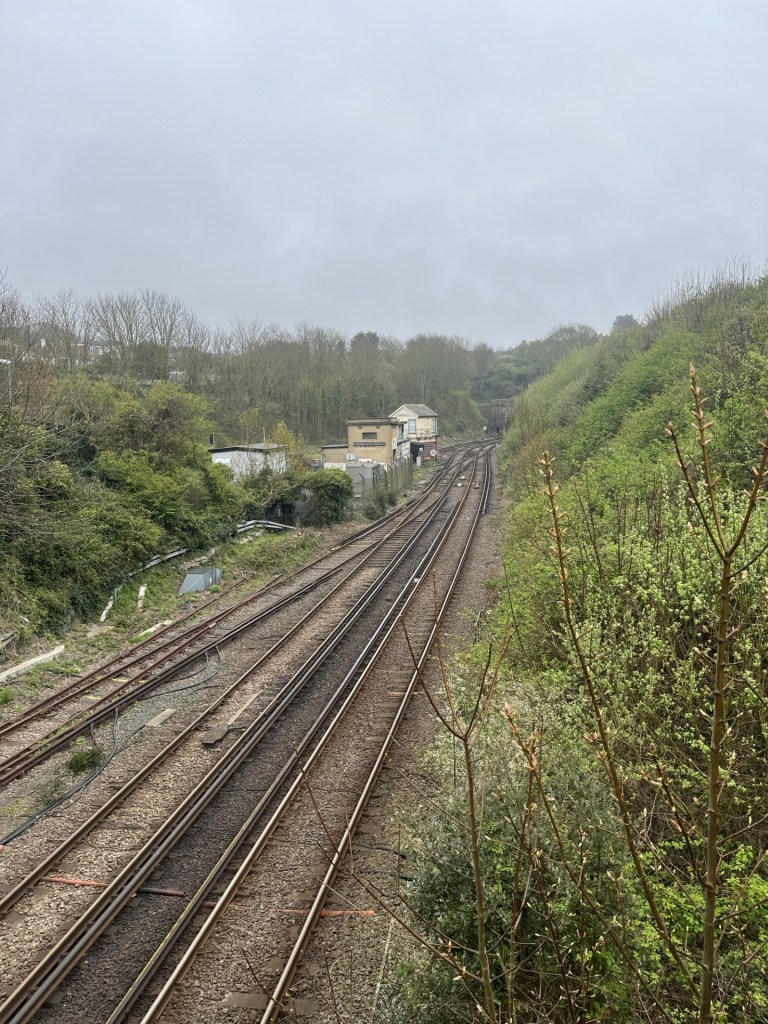
The Bo Peep signal box and entrance to Bo Peep tunnel. Mizzleable
But first, a minor digression. This exercise should, if being a purist, start at Hastings station. Hastings and St Leonard’s (they used to be separate identities but are now joined at the hip and for the purpose of local government administration are known collectively as Hastings), are blessed by four stations. There used to be two more, one to the west at Bulverhythe called Glyne Gap Halt, which is long gone and now houses a retail park, the other, just to the west of the bridge I was standing on, and very first, was Hastings and St Leonard’s station, opened in 1846 (later renamed West Marina station). The remains of this important railway feature now rests peacefully under a huge TK Max.
The four remaining stations are, from east to west, Ore, Hastings, St Leonard’s Warrior Square (my start point). Ore is situated high in the eastern suburbs and falls outside the orbit of this exercise, mainly because it serves a different route. The line out of Hastings to Ore heads off through a long tunnel dug into the sandstone and then delightfully across the marshes to Rye before terminating at Ashford. In recent years there have been calls for this single-track line to be upgraded to a High-Speed line from London. Whilst it would be great to have a fast train from Hastings to London, I think we can say that there’s more chance of the International Eurostar station reopening at Ashford before that becomes a thing. Ore has one distinction. Many confused travellers will have stood at Charing Cross or London Bridge stations searching in vain and then missing their train to Hastings because many of the Hasting’s trains don’t actually terminate at Hastings, but at Ore, a place almost everyone on the planet who isn’t from Ore, will never have heard of.
For anyone desperate or daft enough to follow in my weary footsteps, the correct place to start this sojourn would be at Hastings station. My first encounter with Hasting station (before it was modernised) was in 1980. After a Friday night session at a pub near to the bookshop I was working at the time, I boarded a train bound for East Croydon (or was it?) and sometime later was woken by a British Rail employee and asked to leave the train. Clearly it wasn’t one of the trains that went onto Ore. Somewhat befuddled, I dismounted the train to find myself on the platform at Hastings! Asking the group of attendants when the next train to London might be, they proceeded to crease up like the Cadbury’s Smash aliens (if you don’t know what I mean check them out online) and then told me it would be six in the morning. Exhausted, I looked across the platforms and could see the sign of a nearby hotel. Being after midnight, I rationalised that I’d missed my window of opportunity, and so instead tried to get some kip in the platform waiting room. Good idea? It should have been. Instead, for the next few hours a solitary gull perched on the adjacent bench and proceeded to squawk and screech its hideous call for the rest of my time. I caught the first train back to London and was the first in work that Saturday morning, but the gull had got to my central nervous system, and I swore never to return.
From Hastings station the options are to walk along the hilly and relatively indifferent back roads, or head straight to the seafront and then along the front for a mile to St Leonard’s Warrior Square station, set back a few hundred metres from the sea, and the locally popular Goat Ledge cafe. There’s no point trying to follow the line between the two stations because it’s buried deep down in a mile long tunnel. More on tunnels at another time perhaps – they matter here.
St Leonard’s Warrior Square (originally Gensing station, opened in 1847) sits at the top of the bohemian Kings Road. Small independent shops are stuffed to the gunnels with miscellaneous everything ever made before 1980. The station itself nestles snugly between the Hastings tunnel heading east, and the equally impressive Bo Peep tunnel, that heads nearly a mile to the west, and under the old colonial affluence of St Leonard’s, with its Georgian, Victorian and Edwardian piles (some in the Scottish baronial style) chaotically scattered across the high ground above the seafront. Hilly roads take you up and down quirky streets where independent shops, some art galleries and more outlets selling junk and second-hand stuff (called brocantes here abouts), through to antiques, and a range of hospitable pubs and eateries can swallow an hour or two. If that’s not your bag, and you just want to get walking from Warrior Square to West St Leonard’s, head south to the coast and then west past the impressively art-deco (debate) Marina Court, along the front with the very early Georgian facade, The Marina Fountain public house (good music) and then right and up the hill on West Hill Road and a final left into St Vincents Road.
Anyway, I’ve done those legs many times, so let’s start. And yes, I must have forgotten that terrible night with the gull, because decades later I moved here.
Digression over. From the station I set off west on St Vincents Road, and to the junction with Filsham Road. To the right is a bridge over the tracks and good views back into the station and on the other side an arc in the track looping away to the northwest and London. I crossed over at the zebra crossing and joined the public footpath that heads down and then along the south of the line. To the left lies the large Filsham Valley school and its grounds. To avoid congestion, stay clear of this area mid-afternoon and chucking out time.
At the bottom of the rise a became aware of a stream running between the track and the path. I smelt it before I saw it. From the stench I concluded that an unauthorised release may have taken place, and I quickly diverted from the path into the adjacent grass field, with woods climbing up to a ridge beyond. *
Beyond the field the path rose into the woods, and slowly back above the tracks. An elaborate footbridge allowed access over the line and to houses on the other side. Again, almost certainly a place to be avoided when the kids get out of school.
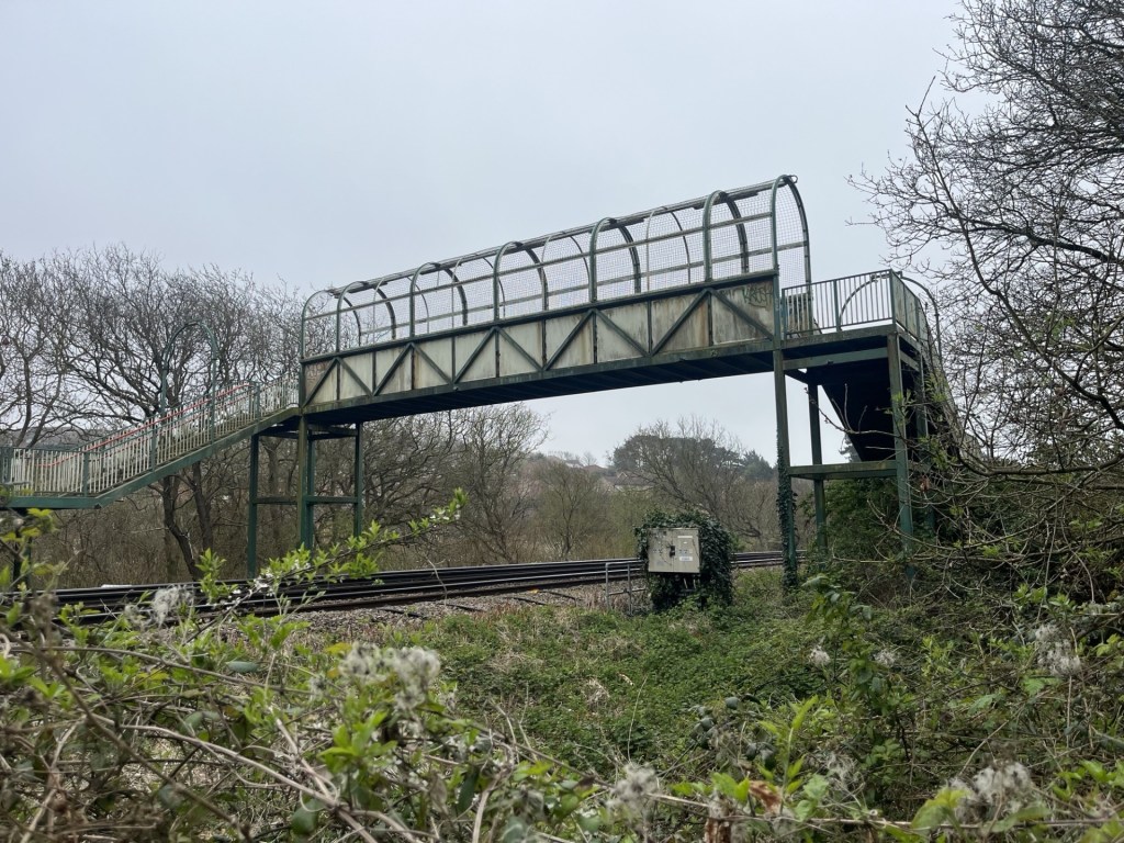
Vape Central before and after school
Another two or three hundred meters on and the path emerged onto the Harley Chute Road, and the second road bridge over the lines.
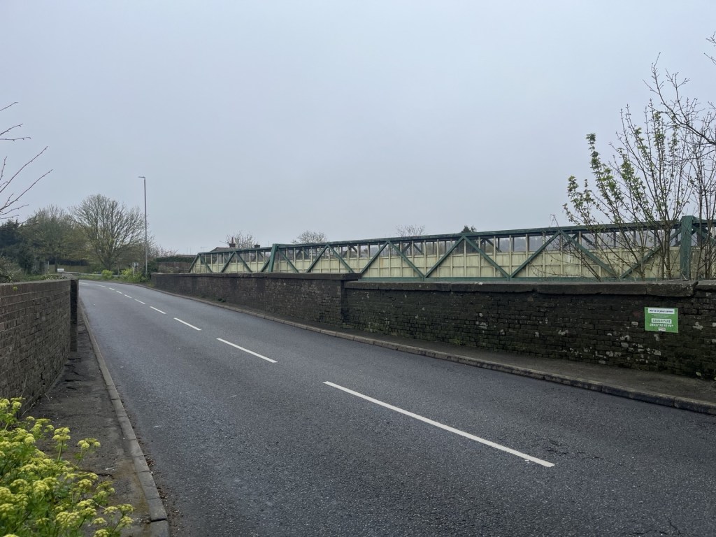
I promise the pictures get better – Harley Chute Road
The footpath continued on the other side of the road, but the view was instantly, and surprisingly, all country.
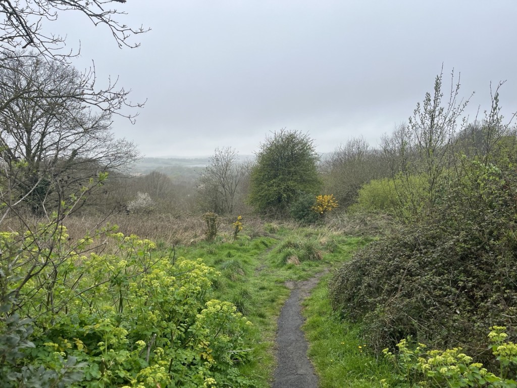
Goodbye to the suburbs
Within minutes the sound from the streets had receded, replaced by the chirps and cheeps of Blue Tits and Robins, which occasionally darted in front and above. Wild garlic, occasional primroses, delicate white but unidentified white flowers and clumps of bluebells coloured the quickly awakening birch and hawthorn woodland. The path fell back down and gradually away from the railway before heading back up and to a foot crossing.
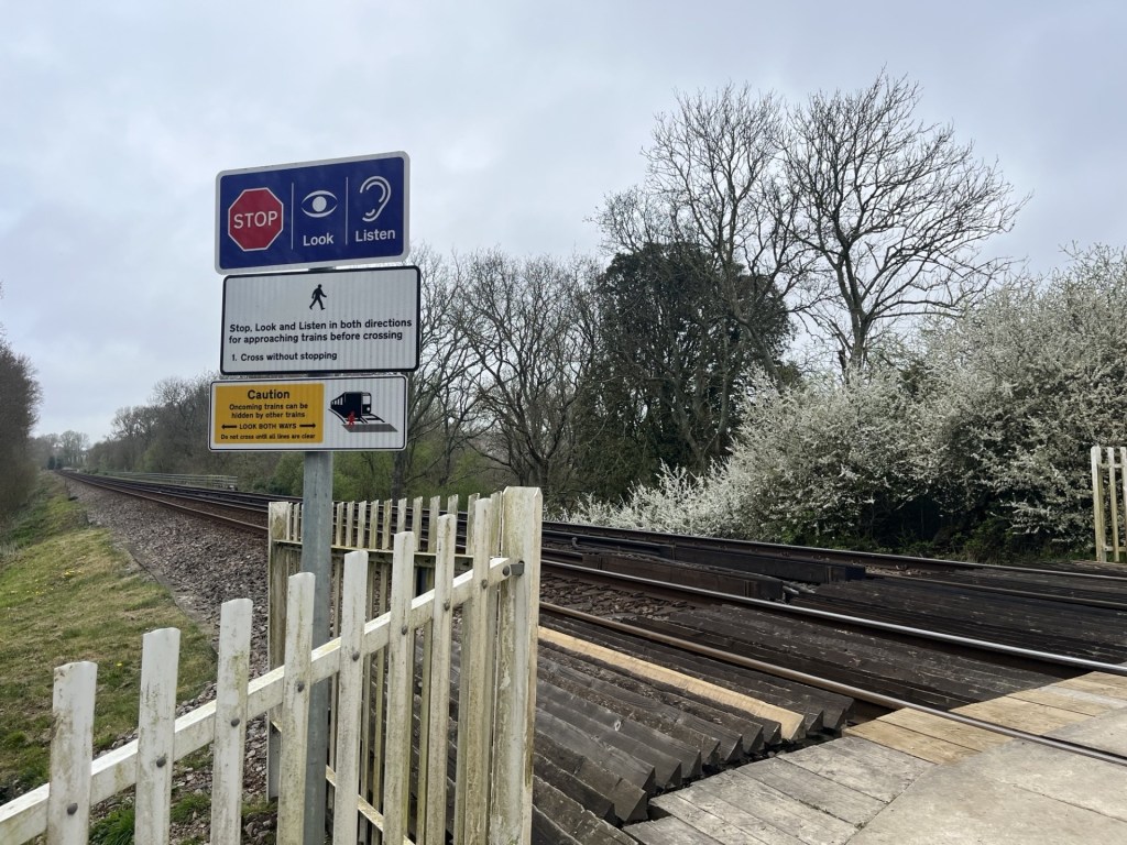
Sensible Instruction number 1: Cross without stopping
I didn’t cross but continued to the south where the path diverged quickly from the line and down. At a junction in a dell, I bore right and back up through the woods. With the railway some distance away, the path continued through delightful woods. The rain had finally stopped, and occasional patches of blue sky appeared.
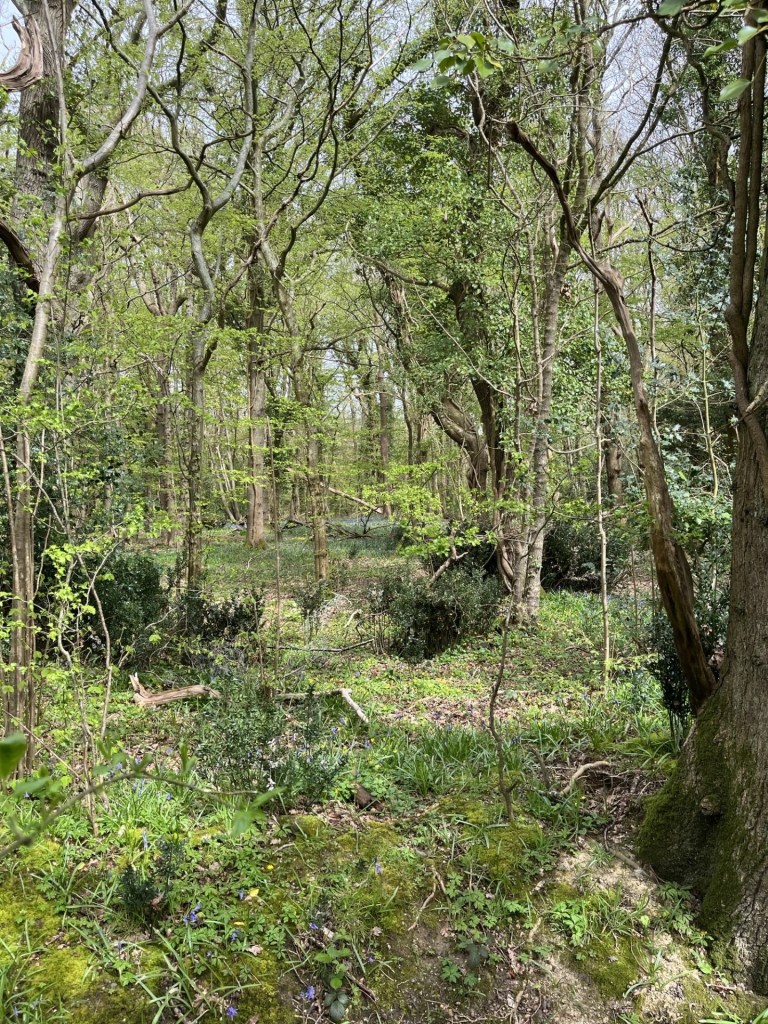
The buffer zone – Marsh Woods
With the path heading on up and into a field, and then another, views opened to the south. A glimpse of the sea and the higher ground above Bulverhythe, which, I believe only exists because it was once the area’s landfill site, now being blended back into nature, and an area I ought to explore a bit further on my next visit to the nearby recycling centre.
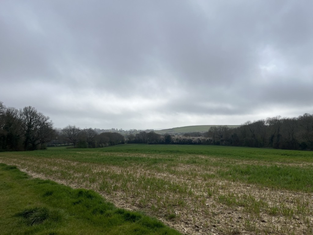
Manmade
At the end of the second field, I emerged onto the Crowhurst Road (so I knew I must have been on the right track, although the actually track was back and passing under the adjacent road bridge).
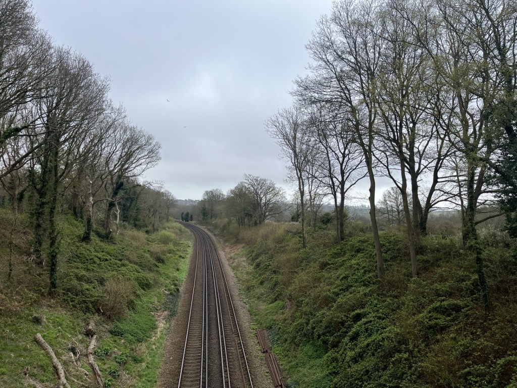
A gull and a buzzard were fronting it up above the tracks. You’ll have to take my word for it
Taking the Crowhurst Road northwest past Upper Wilting Farm and then under Combe Valley Way, a wide direct new link road running between the north of Hastings and Bexhill but shamefully lacking a bike lane (there’s just no excuse). Crowhurst Road continued downhill, with the odd passing car, over a stream, before climbing again past Lower Wilting Farm to the right and then to the top of the valley before heading directly north and down.
Just at the point, where the road veers to the north, I crossed the old bridge and high above the long disused Crowhurst, Sidley and Bexhill railway. Below, through the trees and undergrowth, the evidence of a well-used footpath.
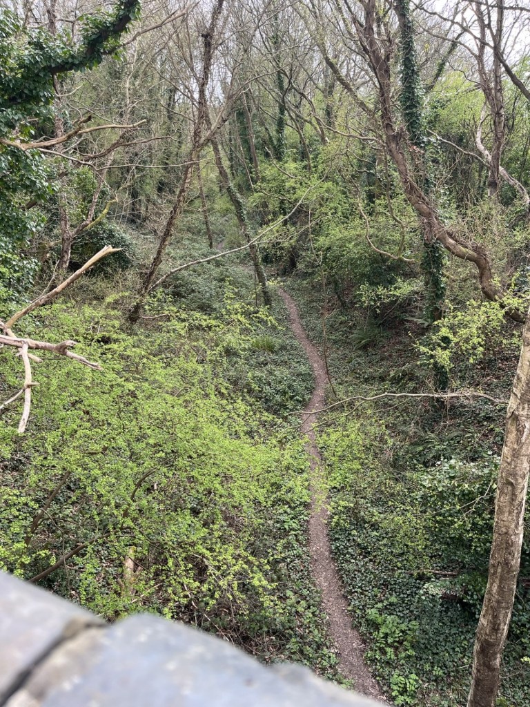
The old track
Past the sign to Adam’s Farm, and through the trees the view extended to the southwest and over the filter beds that can be seen for miles, and from day to day, depending on the weather, are either flooded or bone dry.
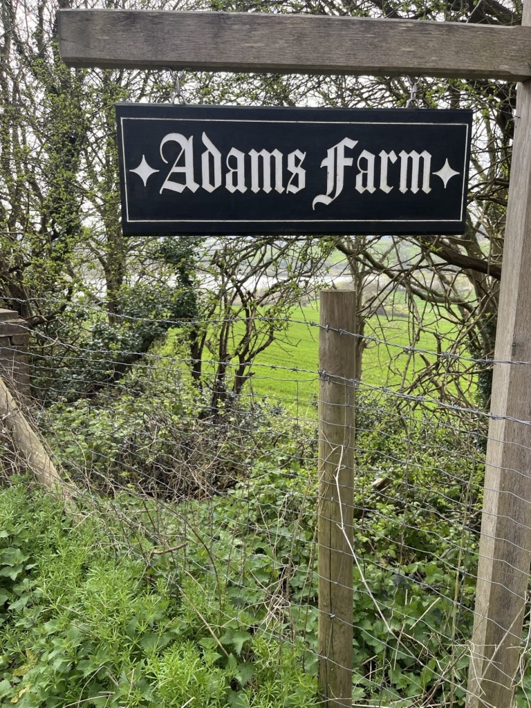
Adams Farm and the filter beds beyond
Continuing down the Crowhurst Road, and to the right, an entrance to the Crowhurst Nature Reserve took me back into nature and eventually to the bottom of the disused railway, which at this point was clearly never going to operate again.
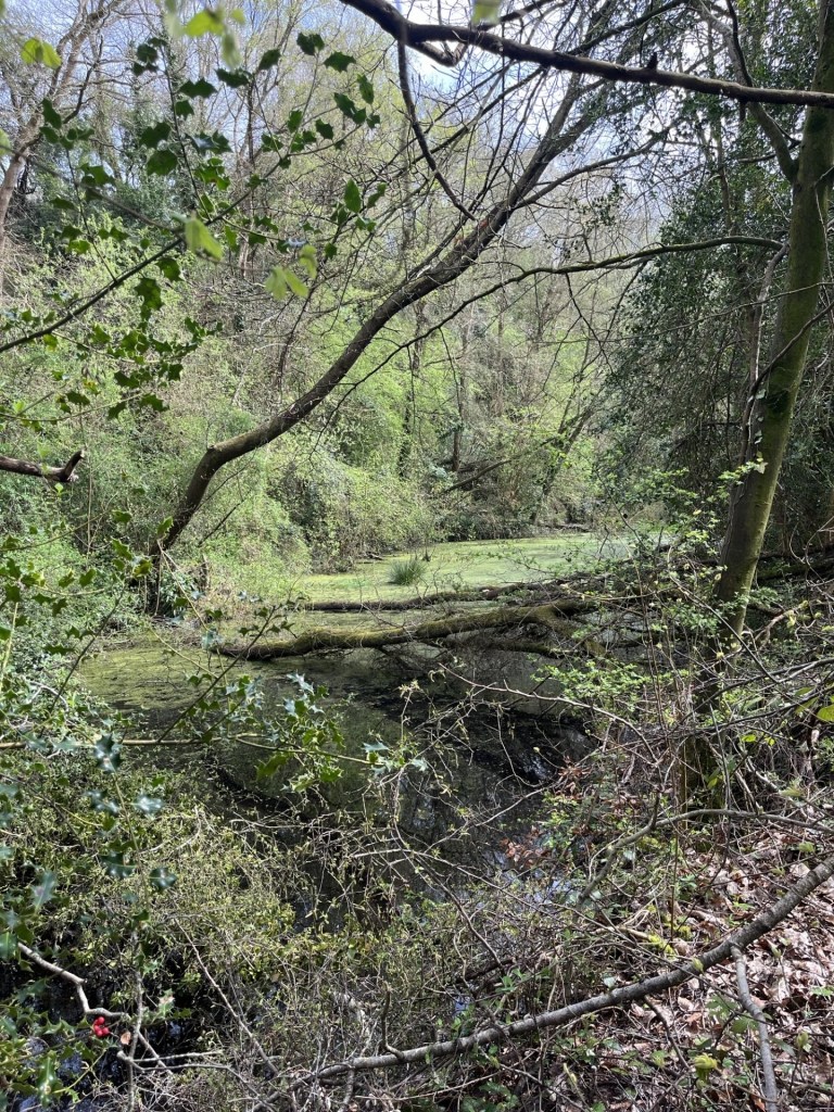
Water and leaves on the lines
Keeping on through the heavily wooded reserve, any evidence of the old line had clearly gone. After a few minutes and a large tree ahead sported a sign suggesting that further progress was unwelcome.
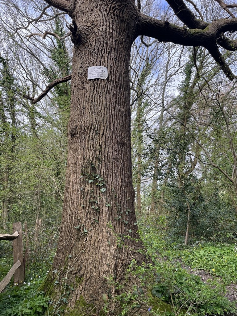
Private property – Keep Out
A tad annoying, but with evidence of a well-trod footpath continuing beyond the old oak I quickly forgot that I had seen any sign at all and here the bluebells and primroses flourished.
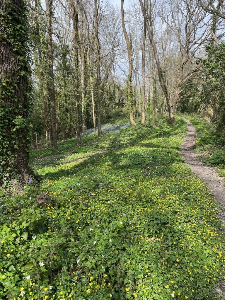
Blooming Spring
Eventually my luck ran out. I had assumed that it would be possible to walk the entire length of the old line, but a large fence cut straight across the path. I tacked to the right, hoping that this was just a temporary glitch, but it wasn’t to be. Heading back down to the bottom of the cutting a much larger sign on the fence emphasising the private property angle and that CCTV cameras were deployed convinced me that there was no point continuing. Not least because although some vague tracks led on, the dense undergrowth was enough to dissuade me.
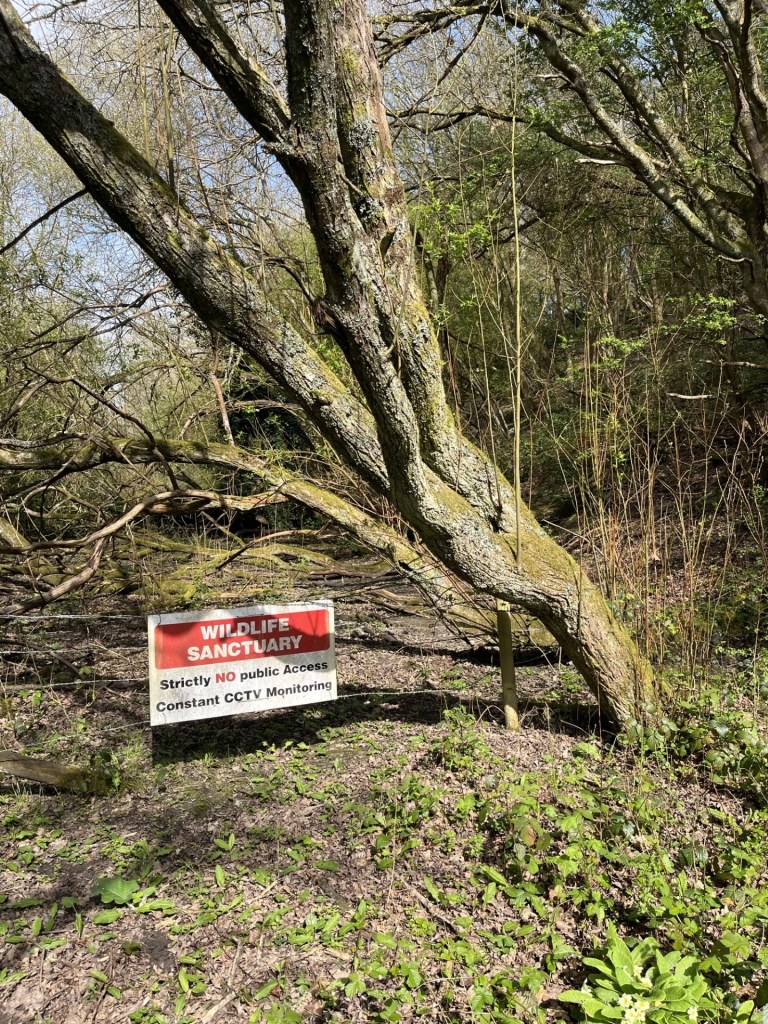
You shall not pass
I headed back along the fence and then spilled out onto a rough vehicle track. Unsure exactly where I was, I decided to go right, and towards a path marked on the map that hinted at an old bridge over the cutting. The noise from some sort of mechanical equipment became louder as I plodded up the track, and then just around a corner a small digger came into view, scrapping away at the track. Reaching the mini digger the operator in the cab switched off the engine and opened the door. I had expected to be given short shrift and be advised to retreat but I was wielding my Ordnance Survey map and led from the front. “Am I lost?”
The man smiled and we started a conversation. He had just moved into the amazing looking Tudoresque white cottage just beyond and was flattening the track so that the family car could negotiate the hazardous central hump. It seemed that they owned most of the surrounding land and I asked if that included the railway cutting. He confirmed they did, adding that I may have seen some warning signs. I wasn’t quite sure how to answer, but before I did, he immediately became my favourite person on the planet by proclaiming that he was going to take them all down!!! Liberating his own land for the rest of us being about the most enlightened thinking in an age when walls are going back up. He was a good guy, and I moved on towards the public footpath with a spring in my step. By the way, the digger was called Ken.
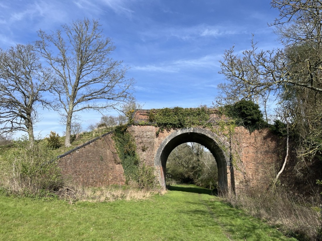
The foot path was to the right of the track and headed uphill, crossing the old line on a heavily vegetated brick bridge.
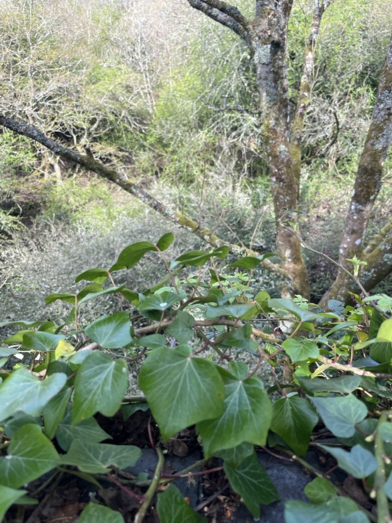
Looking down at the old line through the ivy
The path was something of a muddy stream and to make progress I grabbed the branch of a shrub, instantly feeling pain on the inside of one of my fingers. I didn’t think much of it until I took a quick look, and the red stuff was expressing freely down between my two middle fingers. Whilst slipping slowly back down the muddy path I somehow managed to manipulate a tissue from my pocket and squeeze it to the wound and realising in the moment that whatever the shrub was, it had managed to pierce the fleshy bit on both fingers.
At the top of the climb the path bled out onto another farm track. Taking a right the public footpath reappeared to the left heading up through more woods. This old track, presumably once a vital rural highway serving the small community of Green Street above, was also the conduit for a running stream, which made the whole track something of a quagmire. With my bleeding fingers, reaching out for additional support was not an option, so I tiptoed on up trying my best to avoid my boots being overwhelmed.
Eventually I reached the top and over a stile leading to the small road through Green Street.
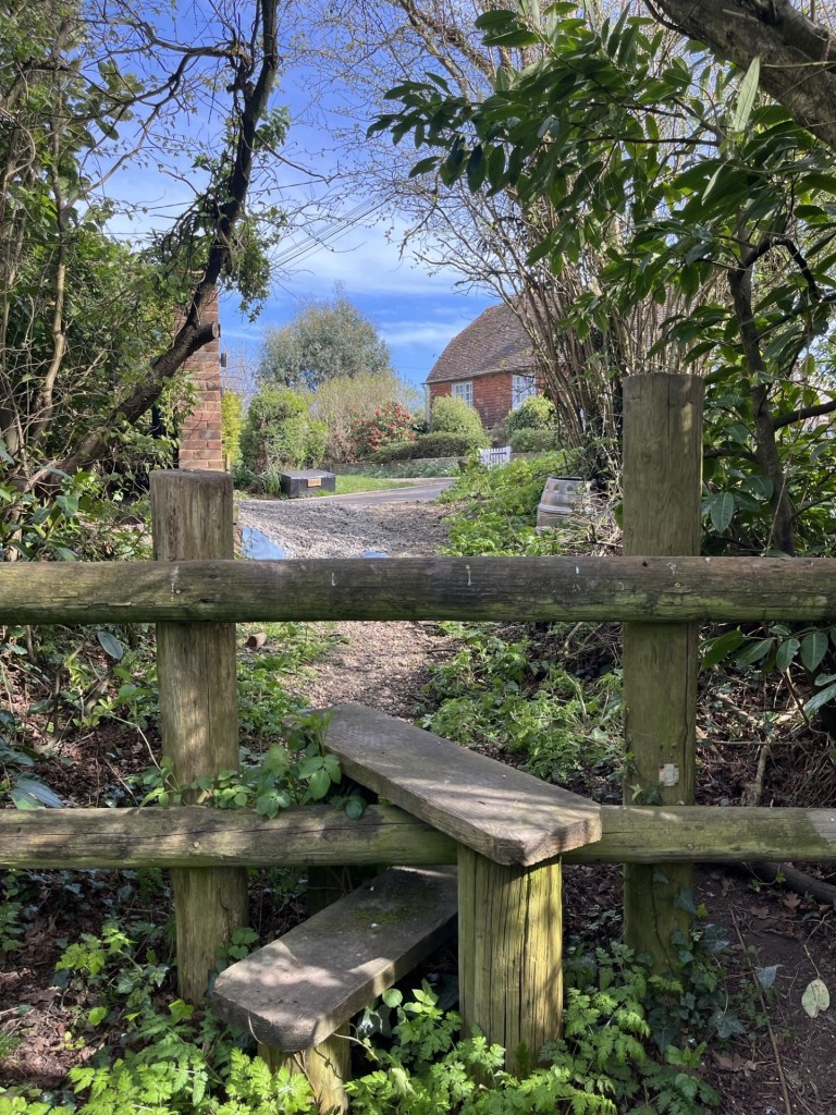
Narnia beyond the stile
The small cluster of traditional Sussex buildings felt like a lost community, hidden away from the nearby urban sprawl of Hastings. Neat.
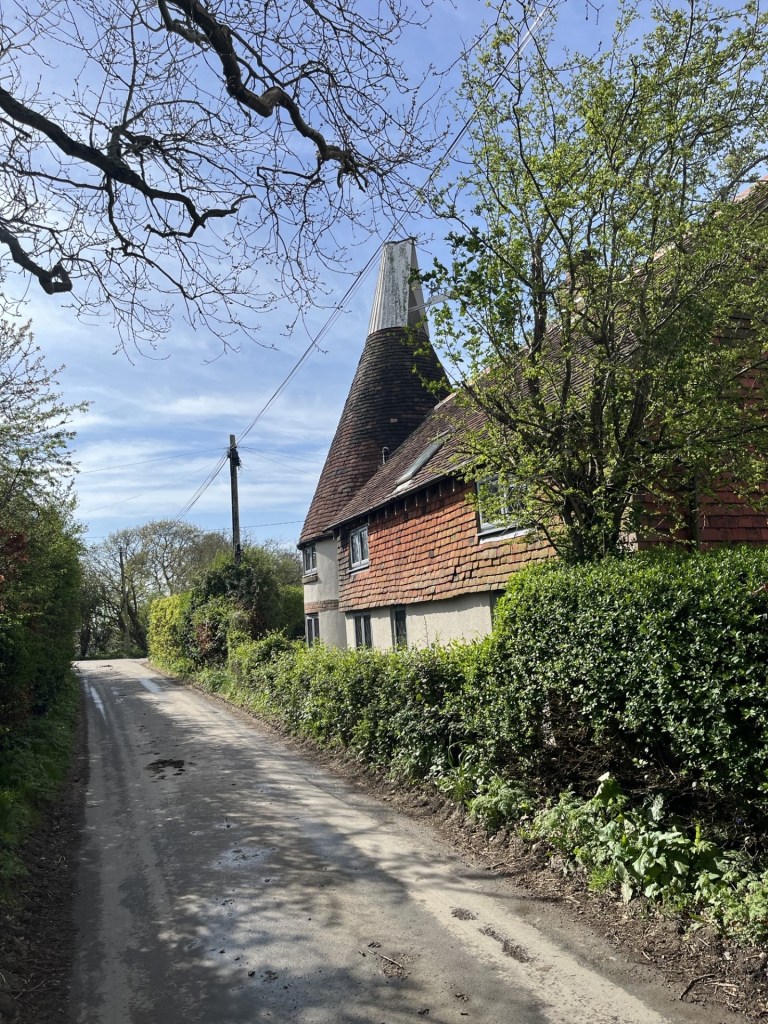
Evidence of a past industry
With the flow of blood now mainly checked my focus was now on reaching Crowhurst Station and the next hourly train. I knew I was quite close, but also that the route headed away from the destination before tracking back.
The narrow road headed northeast and gradually downhill. At the foot of the descent the road crossed over the mainline, last encountered at Upper Wilting Farm only a kilometre or so to the south. At the far side a fine old building, built from large stones and more reminiscent of the North rather than old Sussex.
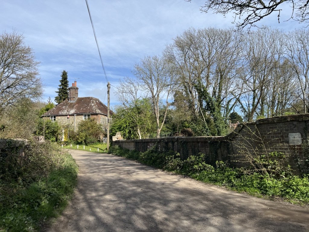
Unsurprisingly perhaps the bridge is called Stonehouse Bridge.
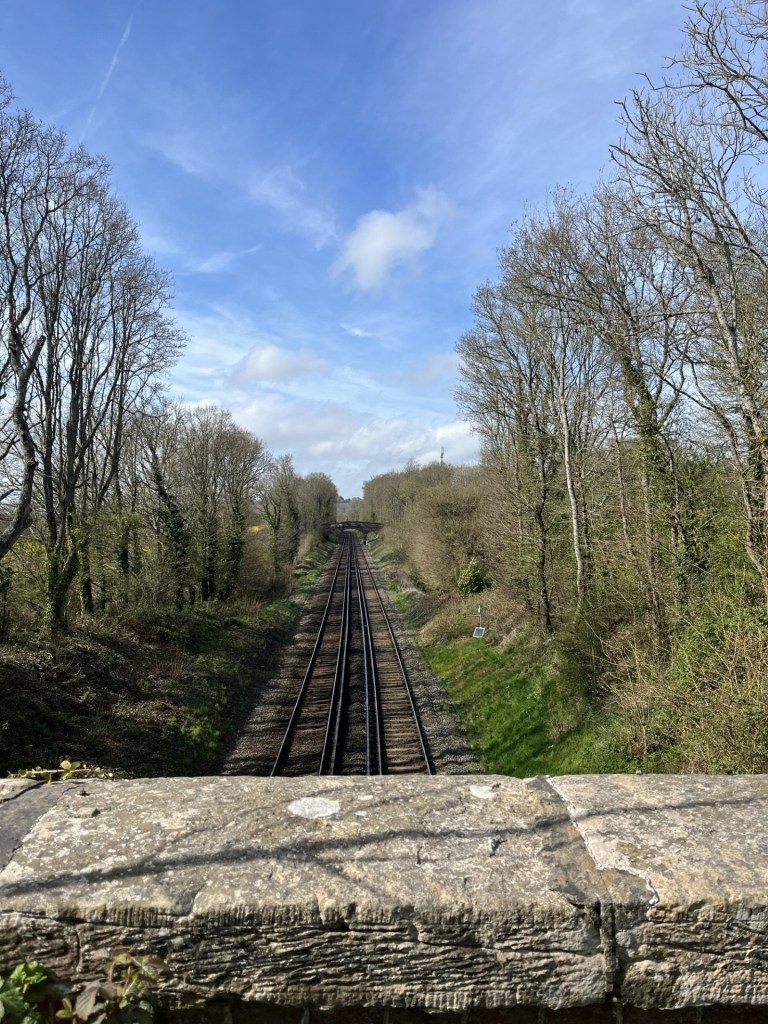
Looking north on the Stonehouse Bridge
The road lurched to the left and then began to climb back out to the northeast, but another track heading directly north and between two large fields full of yellow rape was what I plumped on. Within a minute I heard the sound of yapping dogs, quickly came into sight with their owner. Not only the first dog walker so far, but apart from the man operating Ken the digger, the only person I had met at all! The dogs were so small I think my modest size was intimidating enough and they behaved. A brief word with the owner, agreeing that it had turned out to be a lovely day, and I carried on up. After 2 to 300 metres the track was crossed by another. Beyond, to the right, the entrance to a small abode with land. I wasn’t entirely certain about my whereabouts in the field and decided to turn left and follow the track heading west. Another 200 metres across the field of rape and on the left a large pond surrounded by trees that brought a slightly continental feel to the land.
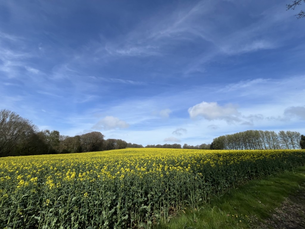
The view from the pond (which for some reason I didn’t record)
Carrying on down and eventually back into some woods, crossing over another stream. The path wound around and suddenly, ahead, the gaping mouth of a corrugated tunnel driven under the mainline. I was back on track, almost literally, but had to overcome the slight nervousness of the tunnel challenge.
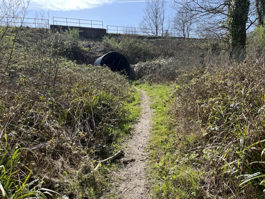
Oh well, it had to be done
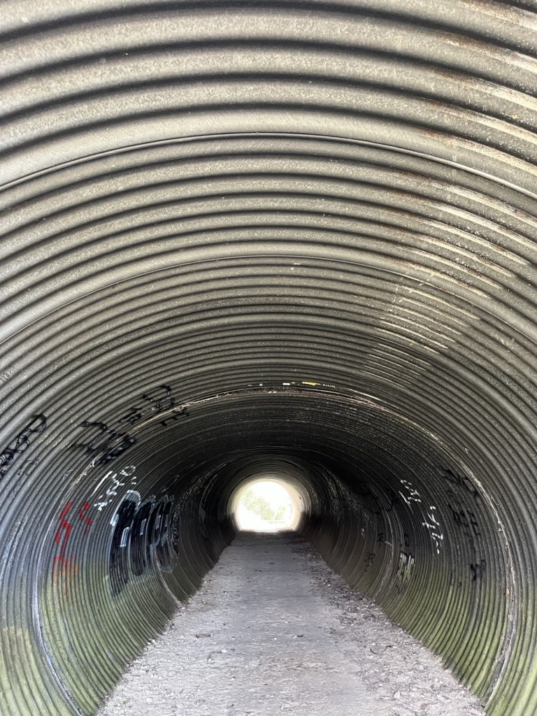
I’d missed the guided tour
Emerging back into the light I knew where I was. Some months earlier I had been here with a couple of friends (more shortly) where we had pondered on whether the derelict railway bridge that now rose in front of me, went over, or under the old Crowhurst to Bexhill railway. It took almost fifteen minutes for the three cleverest brains in the land to conclude that it must have passed over, or maybe under?
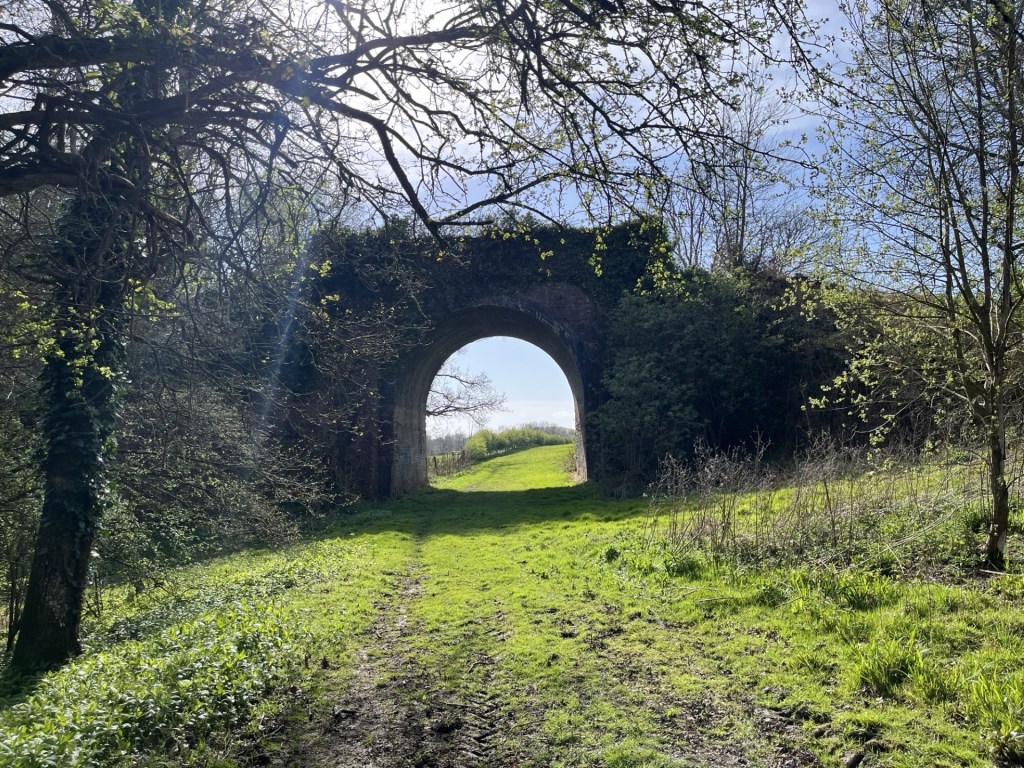
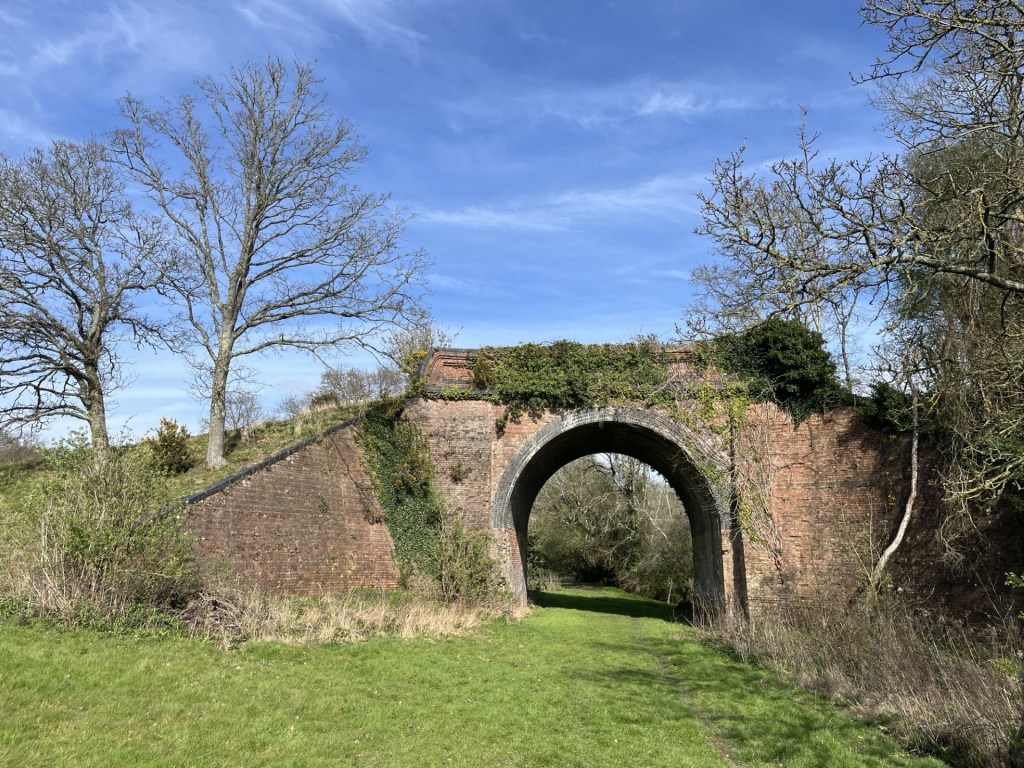
The correct answer is – over.
A large field opened to the right and towards some woods before heading down and with luxury yurts to rent in a field on the left. At the foot of the incline a small bridge over the eastern arm of Powdermill Stream, and then the path began another gradual climb, with a hill rising across a field to the right and a line of trees at the top.
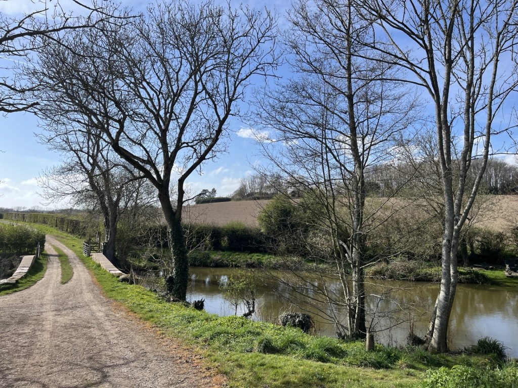
Try to use your imagination here
Months earlier, with my two friends, we had ambled along this track, looking repeatedly across this field, pointing out relevant features and satisfying ourselves that we were in the right place. The right place being the alternative site of the Battle of Hastings in 1066. Some months earlier, one of my friends had mentioned to me that he had been watching a YouTube programme about a local activist group, led by Nick Austin, who passionately explained why the official site, at Battle, could not have been the site, and that the custodians, English Heritage, knew this but were too heavily invested in their asset to acknowledge any notion of an alternative site. Incredibly, given that I rarely watch anything on YouTube, I immediately knew what he was talking about because only the day before I too had watched the same programme (which for the life of me I can’t now locate). We agreed that at some point in the future we would visit the identified alternative location and see for ourselves. And that led to three of us standing in this field and satisfying ourselves that the evidence, based on the topography, was compelling.
But, since that short battlefield amble, I had delved further into the subject. There is indeed a wide-ranging debate amongst enthusiasts and historians about where the battle may have taken place. I have no intention of examining them here (it’s all on the Net) but the problem for the official site in Battle is, apart from the Abbey built by William some years after 1066, there has never been any physical evidence of a battle in Battle. The race is on to find some evidence, anywhere. There are at least two main alternatives. Where we had stood was one of them. Except that my further research, which included Nick Austin and his crew, seemed to suggest that their proposed site, err… lay about a mile to the north and on the other side of the mainline. How we had collectively managed to go to a completely different, random location, suddenly struck me as hilarious, but also astonished by the realisation that we had discovered a third possible site. If only we had found a medieval stirrup! The search continues.
The track headed on down into Bucklebridge Farm. Beyond I was just able to make out the ancient church and remains of an old manor house, thought to have once been owned by King Harold (though obviously not for long).
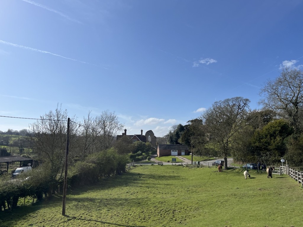
The old manor house and the church tower to the right
I emerged onto Station Road, quickly checked my watch and saw that I had nine minutes to get up the steep hill and to the station itself. I was surprised that I had managed to get to this point with a chance of the train, but as John Cleese once said it’s not the despair, but the hope. Legging it up the road, it occurred to me that it was much longer than I had remembered, but against the odds I made the ticket machine, was able to work out how to buy a single ticket back to West St Leonard’s on my first attempt, and then popped over the bridge to the down platform.
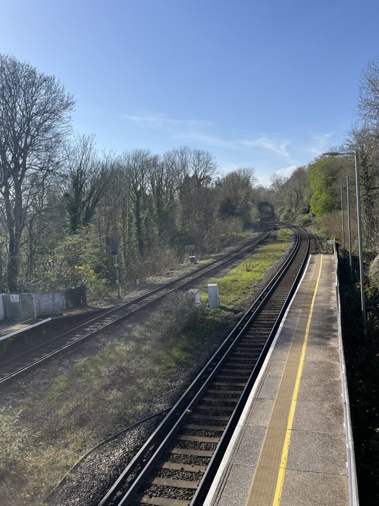
Looking north at Crowhurst station
Four minutes passed before the train rolled in and I, and the one other customer, left town.
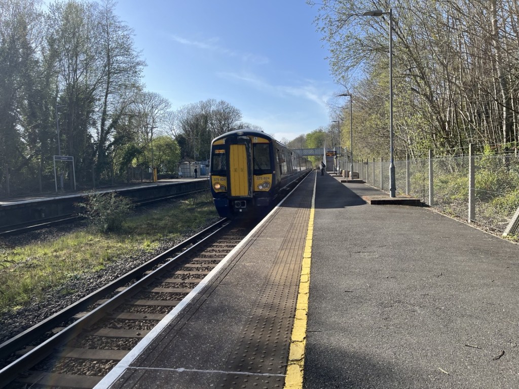
One for the buffs 375 825
Minutes later and I was back at West St Leonard’s – with the train heading off towards the Bo Peep tunnel and the last leg to Hastings.
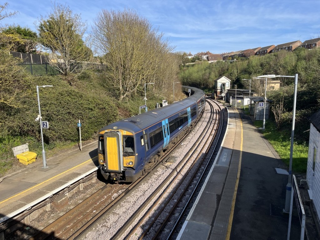
And away – to Hastings
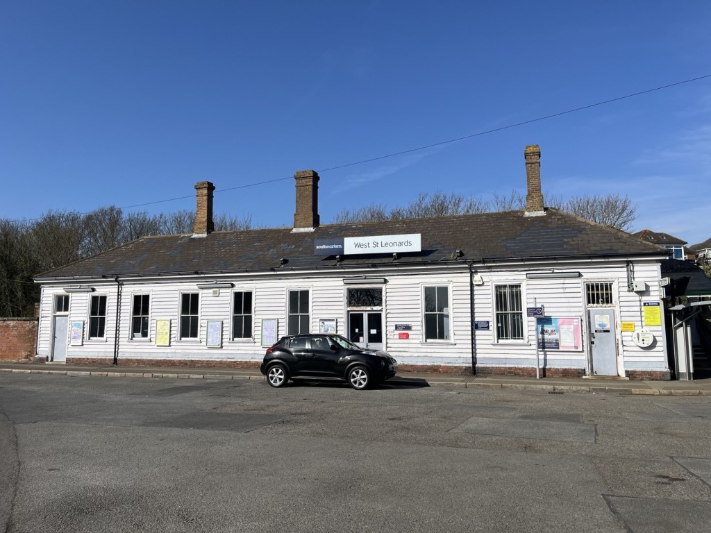
Outside West St Leonard’s station and the mizzle had gone
A short drive back home but with the iPod on random, the sound of Weller seemed to encapsulate the day. I hadn’t heard it in years. Using all the tricks in his book the main man at his finest.
*A few days ago, and before I posted this, a reel popped up on my phone. I don’t look at reels, but from what I could see it was my local MP reporting a sewage outage into the Hollington Stream and posted on the 18th of April. In hindsight perhaps I should have reported my concerns after the walk, but clearly my nose hadn’t lied.


 El Colmado 57