From Corley Moor, the highest point in Coventry Metro Borough, it was just a short drive to Chapel Green, then a left down Fillongly Road and at a point in the road that bore a resemblance to my mind map of the area, a muddy layby appeared on the left and I pulled over.
A hundred meters ahead, on the other side of the road and beyond a hedge, a line of trees marked where dense woods met a large field. I climbed out of the car. This wasn’t going to take long. As I started down the road, a car pulled round the bend in the road to the south and abruptly stopped at a layby on the opposite side of the road. The driver’s door opened and out jumped a man who, without further ado, marched beyond the car and up to the hedge, where quite obviously he proceeded to have a leak. It might have been just at that moment that he saw me approaching on the other side of the road.
To protect his modesty, I naturally slowed my pace and pretended to look at something that might have been interesting beyond the trees on my side of the road. Whatever it was that I was interested in failed to hold my attention for too long and by necessity I continued in his direction. By now he had finished his essentials (at least I assumed he had, but I’m sure most of us – men – have been in that unsatisfying position of being desperate, only to be denied for some unaccountable reason), and had skipped back into his car. He drove on and I crossed over.
Just past the layby a gap in a fence gave access to the woodland, and just to the right another gap in a fence gave access to the north facing field. The field was cultivated, but a wide strip of land adjacent to the woods suggested some form of set aside, which I now understand to be a “cereal field margin”, land that is left uncultivated to encourage wildlife diversity. I’d heard of it but as far as I could remember, never actually seen it before. It looked great. I’m sure that there are arguments against such wokery, but it makes sense to me.
I walked towards the top of the field and along the edge of the woods. Ahead, spilling out of the woods and into the margin, a wave of bluebells in their prime. Quite a surprise given that all around me down south had come and gone already.
On the crest of a wave
I stopped and noticed a humble bee dancing between the flowers coronets and got down close to observe. Despite my close proximity, it had zero interest in me. Too fixated on task and outcome. I recently heard that a worker bee only lives a few weeks and, in that time, makes, creates, generates, just a fraction of a teaspoon of honey. No retirement, no pension, just a grinding few weeks contributing to the greater good before it’s all over. I can’t predict the future but with AI and the ever-continuing concentration of the world’s wealth by a small few, maybe there was some sort of metaphor evolving in front of me.
Inspecting the larder
I carried on a short distance. There was a gap into the woods. I entered, but only just. Somewhere around this point was Solihull’s highest elevation. Although Peak Bagger names the highest point as Meighs Woods, their own map seems to suggest the woods I was at were called Stocked Woods, and Meighs Wood was over the road where I had parked up. I looked back out and across the field. A leaden sky, but the forecast was for something different. Up until a day or so before the nights had been cold, and the days cool and stormy. By Friday that was all going to change.
The high point – Stocked Woods
I drove away from the layby. The destination was Much Wenlock for three nights. Whilst I had reached the highest point in Solihull, the road I took to get me back onto the M6 somehow managed to avoid contact with any of the town’s urban sprawl. Oh well, so it goes.
I had been thinking about this for a while. I live in Hastings. The direct railway to London runs north by northwest up through the countryside of East Sussex, Kent and then Greater London. Apart from seeing it all through the windows of a train on the occasional trip up to London and back, many of the areas are remote, and not obviously places to visit unless you have good reason to. In a moment of enlightenment, I realised that I could investigate these places by starting out at a station en-route, walking a few miles to the next station, and then jumping on a train back to the start point.
That moment was about two years ago, and with lots of life issues occupying my time, it was filed in the “maybe sometime” folder. Until the 4th of April 2026, when I woke to see a fine mizzle varnishing the street outside, after a forecast that had promised fair weather. The opportunity to procrastinate was tempting, but I had been bogged down in a blizzard of family issues since the start of the year, and with only a small window to stretch my legs and shake off the moribund (in more senses than one), I grabbed a coat and set off for West St Leonard’s station, intent on starting the task by walking as close as I could to the main line towards the small village of Crowhurst, the next stop on the line.
Start to Finish – Follow the spine of the seahorse. Made with ancient recently rediscovered paper
The fine mizzle remained. I stood on the nearby road bridge that spans the Eastbourne and Victoria station line to the south.
The Bo Peep signal box and entrance to Bo Peep tunnel. Mizzleable
But first, a minor digression. This exercise should, if being a purist, start at Hastings station. Hastings and St Leonard’s (they used to be separate identities but are now joined at the hip and for the purpose of local government administration are known collectively as Hastings), are blessed by four stations. There used to be two more, one to the west at Bulverhythe called Glyne Gap Halt, which is long gone and now houses a retail park, the other, just to the west of the bridge I was standing on, and very first, was Hastings and St Leonard’s station, opened in 1846 (later renamed West Marina station). The remains of this important railway feature now rests peacefully under a huge TK Max.
The four remaining stations are, from east to west, Ore, Hastings, St Leonard’s Warrior Square (my start point). Ore is situated high in the eastern suburbs and falls outside the orbit of this exercise, mainly because it serves a different route. The line out of Hastings to Ore heads off through a long tunnel dug into the sandstone and then delightfully across the marshes to Rye before terminating at Ashford. In recent years there have been calls for this single-track line to be upgraded to a High-Speed line from London. Whilst it would be great to have a fast train from Hastings to London, I think we can say that there’s more chance of the International Eurostar station reopening at Ashford before that becomes a thing. Ore has one distinction. Many confused travellers will have stood at Charing Cross or London Bridge stations searching in vain and then missing their train to Hastings because many of the Hasting’s trains don’t actually terminate at Hastings, but at Ore, a place almost everyone on the planet who isn’t from Ore, will never have heard of.
For anyone desperate or daft enough to follow in my weary footsteps, the correct place to start this sojourn would be at Hastings station. My first encounter with Hasting station (before it was modernised) was in 1980. After a Friday night session at a pub near to the bookshop I was working at the time, I boarded a train bound for East Croydon (or was it?) and sometime later was woken by a British Rail employee and asked to leave the train. Clearly it wasn’t one of the trains that went onto Ore. Somewhat befuddled, I dismounted the train to find myself on the platform at Hastings! Asking the group of attendants when the next train to London might be, they proceeded to crease up like the Cadbury’s Smash aliens (if you don’t know what I mean check them out online) and then told me it would be six in the morning. Exhausted, I looked across the platforms and could see the sign of a nearby hotel. Being after midnight, I rationalised that I’d missed my window of opportunity, and so instead tried to get some kip in the platform waiting room. Good idea? It should have been. Instead, for the next few hours a solitary gull perched on the adjacent bench and proceeded to squawk and screech its hideous call for the rest of my time. I caught the first train back to London and was the first in work that Saturday morning, but the gull had got to my central nervous system, and I swore never to return.
From Hastings station the options are to walk along the hilly and relatively indifferent back roads, or head straight to the seafront and then along the front for a mile to St Leonard’s Warrior Square station, set back a few hundred metres from the sea, and the locally popular Goat Ledge cafe. There’s no point trying to follow the line between the two stations because it’s buried deep down in a mile long tunnel. More on tunnels at another time perhaps – they matter here.
St Leonard’s Warrior Square (originally Gensing station, opened in 1847) sits at the top of the bohemian Kings Road. Small independent shops are stuffed to the gunnels with miscellaneous everything ever made before 1980. The station itself nestles snugly between the Hastings tunnel heading east, and the equally impressive Bo Peep tunnel, that heads nearly a mile to the west, and under the old colonial affluence of St Leonard’s, with its Georgian, Victorian and Edwardian piles (some in the Scottish baronial style) chaotically scattered across the high ground above the seafront. Hilly roads take you up and down quirky streets where independent shops, some art galleries and more outlets selling junk and second-hand stuff (called brocantes here abouts), through to antiques, and a range of hospitable pubs and eateries can swallow an hour or two. If that’s not your bag, and you just want to get walking from Warrior Square to West St Leonard’s, head south to the coast and then west past the impressively art-deco (debate) Marina Court, along the front with the very early Georgian facade, The Marina Fountain public house (good music) and then right and up the hill on West Hill Road and a final left into St Vincents Road.
Anyway, I’ve done those legs many times, so let’s start. And yes, I must have forgotten that terrible night with the gull, because decades later I moved here.
Digression over. From the station I set off west on St Vincents Road, and to the junction with Filsham Road. To the right is a bridge over the tracks and good views back into the station and on the other side an arc in the track looping away to the northwest and London. I crossed over at the zebra crossing and joined the public footpath that heads down and then along the south of the line. To the left lies the large Filsham Valley school and its grounds. To avoid congestion, stay clear of this area mid-afternoon and chucking out time.
At the bottom of the rise a became aware of a stream running between the track and the path. I smelt it before I saw it. From the stench I concluded that an unauthorised release may have taken place, and I quickly diverted from the path into the adjacent grass field, with woods climbing up to a ridge beyond. *
Beyond the field the path rose into the woods, and slowly back above the tracks. An elaborate footbridge allowed access over the line and to houses on the other side. Again, almost certainly a place to be avoided when the kids get out of school.
Vape Central before and after school
Another two or three hundred meters on and the path emerged onto the Harley Chute Road, and the second road bridge over the lines.
I promise the pictures get better – Harley Chute Road
The footpath continued on the other side of the road, but the view was instantly, and surprisingly, all country.
Goodbye to the suburbs
Within minutes the sound from the streets had receded, replaced by the chirps and cheeps of Blue Tits and Robins, which occasionally darted in front and above. Wild garlic, occasional primroses, delicate white but unidentified white flowers and clumps of bluebells coloured the quickly awakening birch and hawthorn woodland. The path fell back down and gradually away from the railway before heading back up and to a foot crossing.
Sensible Instruction number 1: Cross without stopping
I didn’t cross but continued to the south where the path diverged quickly from the line and down. At a junction in a dell, I bore right and back up through the woods. With the railway some distance away, the path continued through delightful woods. The rain had finally stopped, and occasional patches of blue sky appeared.
The buffer zone – Marsh Woods
With the path heading on up and into a field, and then another, views opened to the south. A glimpse of the sea and the higher ground above Bulverhythe, which, I believe only exists because it was once the area’s landfill site, now being blended back into nature, and an area I ought to explore a bit further on my next visit to the nearby recycling centre.
Manmade
At the end of the second field, I emerged onto the Crowhurst Road (so I knew I must have been on the right track, although the actually track was back and passing under the adjacent road bridge).
A gull and a buzzard were fronting it up above the tracks. You’ll have to take my word for it
Taking the Crowhurst Road northwest past Upper Wilting Farm and then under Combe Valley Way, a wide direct new link road running between the north of Hastings and Bexhill but shamefully lacking a bike lane (there’s just no excuse). Crowhurst Road continued downhill, with the odd passing car, over a stream, before climbing again past Lower Wilting Farm to the right and then to the top of the valley before heading directly north and down.
Just at the point, where the road veers to the north, I crossed the old bridge and high above the long disused Crowhurst, Sidley and Bexhill railway. Below, through the trees and undergrowth, the evidence of a well-used footpath.
The old track
Past the sign to Adam’s Farm, and through the trees the view extended to the southwest and over the filter beds that can be seen for miles, and from day to day, depending on the weather, are either flooded or bone dry.
Adams Farm and the filter beds beyond
Continuing down the Crowhurst Road, and to the right, an entrance to the Crowhurst Nature Reserve took me back into nature and eventually to the bottom of the disused railway, which at this point was clearly never going to operate again.
Water and leaves on the lines
Keeping on through the heavily wooded reserve, any evidence of the old line had clearly gone. After a few minutes and a large tree ahead sported a sign suggesting that further progress was unwelcome.
Private property – Keep Out
A tad annoying, but with evidence of a well-trod footpath continuing beyond the old oak I quickly forgot that I had seen any sign at all and here the bluebells and primroses flourished.
Blooming Spring
Eventually my luck ran out. I had assumed that it would be possible to walk the entire length of the old line, but a large fence cut straight across the path. I tacked to the right, hoping that this was just a temporary glitch, but it wasn’t to be. Heading back down to the bottom of the cutting a much larger sign on the fence emphasising the private property angle and that CCTV cameras were deployed convinced me that there was no point continuing. Not least because although some vague tracks led on, the dense undergrowth was enough to dissuade me.
You shall not pass
I headed back along the fence and then spilled out onto a rough vehicle track. Unsure exactly where I was, I decided to go right, and towards a path marked on the map that hinted at an old bridge over the cutting. The noise from some sort of mechanical equipment became louder as I plodded up the track, and then just around a corner a small digger came into view, scrapping away at the track. Reaching the mini digger the operator in the cab switched off the engine and opened the door. I had expected to be given short shrift and be advised to retreat but I was wielding my Ordnance Survey map and led from the front. “Am I lost?”
The man smiled and we started a conversation. He had just moved into the amazing looking Tudoresque white cottage just beyond and was flattening the track so that the family car could negotiate the hazardous central hump. It seemed that they owned most of the surrounding land and I asked if that included the railway cutting. He confirmed they did, adding that I may have seen some warning signs. I wasn’t quite sure how to answer, but before I did, he immediately became my favourite person on the planet by proclaiming that he was going to take them all down!!! Liberating his own land for the rest of us being about the most enlightened thinking in an age when walls are going back up. He was a good guy, and I moved on towards the public footpath with a spring in my step. By the way, the digger was called Ken.
The foot path was to the right of the track and headed uphill, crossing the old line on a heavily vegetated brick bridge.
Looking down at the old line through the ivy
The path was something of a muddy stream and to make progress I grabbed the branch of a shrub, instantly feeling pain on the inside of one of my fingers. I didn’t think much of it until I took a quick look, and the red stuff was expressing freely down between my two middle fingers. Whilst slipping slowly back down the muddy path I somehow managed to manipulate a tissue from my pocket and squeeze it to the wound and realising in the moment that whatever the shrub was, it had managed to pierce the fleshy bit on both fingers.
At the top of the climb the path bled out onto another farm track. Taking a right the public footpath reappeared to the left heading up through more woods. This old track, presumably once a vital rural highway serving the small community of Green Street above, was also the conduit for a running stream, which made the whole track something of a quagmire. With my bleeding fingers, reaching out for additional support was not an option, so I tiptoed on up trying my best to avoid my boots being overwhelmed.
Eventually I reached the top and over a stile leading to the small road through Green Street.
Narnia beyond the stile
The small cluster of traditional Sussex buildings felt like a lost community, hidden away from the nearby urban sprawl of Hastings. Neat.
Evidence of a past industry
With the flow of blood now mainly checked my focus was now on reaching Crowhurst Station and the next hourly train. I knew I was quite close, but also that the route headed away from the destination before tracking back.
The narrow road headed northeast and gradually downhill. At the foot of the descent the road crossed over the mainline, last encountered at Upper Wilting Farm only a kilometre or so to the south. At the far side a fine old building, built from large stones and more reminiscent of the North rather than old Sussex.
Unsurprisingly perhaps the bridge is called Stonehouse Bridge.
Looking north on the Stonehouse Bridge
The road lurched to the left and then began to climb back out to the northeast, but another track heading directly north and between two large fields full of yellow rape was what I plumped on. Within a minute I heard the sound of yapping dogs, quickly came into sight with their owner. Not only the first dog walker so far, but apart from the man operating Ken the digger, the only person I had met at all! The dogs were so small I think my modest size was intimidating enough and they behaved. A brief word with the owner, agreeing that it had turned out to be a lovely day, and I carried on up. After 2 to 300 metres the track was crossed by another. Beyond, to the right, the entrance to a small abode with land. I wasn’t entirely certain about my whereabouts in the field and decided to turn left and follow the track heading west. Another 200 metres across the field of rape and on the left a large pond surrounded by trees that brought a slightly continental feel to the land.
The view from the pond (which for some reason I didn’t record)
Carrying on down and eventually back into some woods, crossing over another stream. The path wound around and suddenly, ahead, the gaping mouth of a corrugated tunnel driven under the mainline. I was back on track, almost literally, but had to overcome the slight nervousness of the tunnel challenge.
Oh well, it had to be done
I’d missed the guided tour
Emerging back into the light I knew where I was. Some months earlier I had been here with a couple of friends (more shortly) where we had pondered on whether the derelict railway bridge that now rose in front of me, went over, or under the old Crowhurst to Bexhill railway. It took almost fifteen minutes for the three cleverest brains in the land to conclude that it must have passed over, or maybe under?
The correct answer is – over.
A large field opened to the right and towards some woods before heading down and with luxury yurts to rent in a field on the left. At the foot of the incline a small bridge over the eastern arm of Powdermill Stream, and then the path began another gradual climb, with a hill rising across a field to the right and a line of trees at the top.
Try to use your imagination here
Months earlier, with my two friends, we had ambled along this track, looking repeatedly across this field, pointing out relevant features and satisfying ourselves that we were in the right place. The right place being the alternative site of the Battle of Hastings in 1066. Some months earlier, one of my friends had mentioned to me that he had been watching a YouTube programme about a local activist group, led by Nick Austin, who passionately explained why the official site, at Battle, could not have been the site, and that the custodians, English Heritage, knew this but were too heavily invested in their asset to acknowledge any notion of an alternative site. Incredibly, given that I rarely watch anything on YouTube, I immediately knew what he was talking about because only the day before I too had watched the same programme (which for the life of me I can’t now locate). We agreed that at some point in the future we would visit the identified alternative location and see for ourselves. And that led to three of us standing in this field and satisfying ourselves that the evidence, based on the topography, was compelling.
But, since that short battlefield amble, I had delved further into the subject. There is indeed a wide-ranging debate amongst enthusiasts and historians about where the battle may have taken place. I have no intention of examining them here (it’s all on the Net) but the problem for the official site in Battle is, apart from the Abbey built by William some years after 1066, there has never been any physical evidence of a battle in Battle. The race is on to find some evidence, anywhere. There are at least two main alternatives. Where we had stood was one of them. Except that my further research, which included Nick Austin and his crew, seemed to suggest that their proposed site, err… lay about a mile to the north and on the other side of the mainline. How we had collectively managed to go to a completely different, random location, suddenly struck me as hilarious, but also astonished by the realisation that we had discovered a third possible site. If only we had found a medieval stirrup! The search continues.
The track headed on down into Bucklebridge Farm. Beyond I was just able to make out the ancient church and remains of an old manor house, thought to have once been owned by King Harold (though obviously not for long).
The old manor house and the church tower to the right
I emerged onto Station Road, quickly checked my watch and saw that I had nine minutes to get up the steep hill and to the station itself. I was surprised that I had managed to get to this point with a chance of the train, but as John Cleese once said it’s not the despair, but the hope. Legging it up the road, it occurred to me that it was much longer than I had remembered, but against the odds I made the ticket machine, was able to work out how to buy a single ticket back to West St Leonard’s on my first attempt, and then popped over the bridge to the down platform.
Looking north at Crowhurst station
Four minutes passed before the train rolled in and I, and the one other customer, left town.
One for the buffs 375 825
Minutes later and I was back at West St Leonard’s – with the train heading off towards the Bo Peep tunnel and the last leg to Hastings.
And away – to Hastings
Outside West St Leonard’s station and the mizzle had gone
A short drive back home but with the iPod on random, the sound of Weller seemed to encapsulate the day. I hadn’t heard it in years. Using all the tricks in his book the main man at his finest.
*A few days ago, and before I posted this, a reel popped up on my phone. I don’t look at reels, but from what I could see it was my local MP reporting a sewage outage into the Hollington Stream and posted on the 18th of April. In hindsight perhaps I should have reported my concerns after the walk, but clearly my nose hadn’t lied.
Since my last outing (a long weekend in late October when I managed to chalk off five tops) a lot of “stuff” has been going on, and it is a long list. Greenland, Epstein fallout (on repeat), Tariffs misunderstood, Ukraine (US inertia continues), Andrew (see above – on repeat loop) and so much more. On a personal note, getting opportunities to travel have been severely limited. The weather for one thing (I wonder if we’ll look back in years to come and remember the incessant rain, cold and absence of sun), but also an elderly family member’s slow decline and on-going care requirements. Which prompted this very short getaway.
With a very small window of opportunity I made a last minute, value for money, two-night booking at a pub come hotel in Newbury. I won’t name it because it was pretty good to be fair, but my need for sleep was rudely interrupted on both nights, and I came away less equipped for my on-going commitments than I had been at the start. Shucks!
I chose Newbury, a small town just south of the M4 corridor between Reading and Swindon because it was near to Walbury Hill (and Slough – but that’s a future post), sufficiently close to where I had come from and where I needed to be on the Tuesday, and because, surprisingly I had never been there before. Going to somewhere I have never been before has been one of the secondary objectives of the County tops endeavour.
Arriving in Newbury early evening I had time to grab some food and relax over a couple of beers in local pubs. The first, The Lock, Stock and Barrel, located by the side of the river Kennett, was great, and the riverside terrace would be a must do in warmer weather. As it was, the river (a tributary of the Thames, and probably not much to look at most of the time) was a raging torrent, just inches from breaching the pubs defences. I asked a local couple if they had seen it so high before. The answer was a definite NO. The second pub, which will remain nameless, was shocking. Arsenal had beaten Spurs at the Lane 4 – 1. I expected Spurs to lose, and don’t begrudge Arsenal, but the boys were still pretty hopeless.
I slept like a log, until at around 5am, when, with a monumental crashing sound, the bottle recycling team turned up to remove the pubs Friday and Saturday empties. Wide awake for a while until asleep again. At 6.30am an almost identical noise announced someone from the pub emptying Sunday’s empties into the recycling bin that had just been emptied a couple of hours earlier. Again, wide awake until sometime on. I know this for sure because I woke again an hour later when the sound of beer kegs being dropped from the back of the dray (a lorry that carries barrels of beer), was pretty much the final straw. I think I counted about 20 metal on padded concrete interactions before it eventually buggered off.
Having been up with the larks, metaphorically, on three occasions, I gave up the fight. I had a task to complete after all. Before that I strolled into the town centre and then along the Kennet and associated canal. And very pleasant it was too, although for people living nearby, they must live in a state of high anxiety for half the year.
Where does all the water go?
I drove out towards the southwest, noticing that many of the dense hedges were well over two meters wide – something I haven’t noticed elsewhere.* Not a long journey but made longer by taking a wrong turn and inadvertently arriving at Ashmansworth, where a year or so ago I had stopped briefly to get my bearings before finding Pilot Hill, the highest point in Hampshire (see https://elcolmado57.co.uk/2025/04/12/cresting-the-county-hampshire/). I took some bearings and then made my way along the narrow but traffic free lanes to Faccombe, where I stopped to take some bearings. Faccombe boasted a handful of very large houses, a church and a big pub called the Jack Russell, which for some reason looked a bit out of place. I stopped in the carpark of the Jack Russell (to get bearings) and considered calling in for a coffee. However, being surrounded by an array of high spec 4 by 4’s and SUV’s (are these the same things?), all of them looming over my little Ford, I chose to pass on through, aware that if anyone were to ask me my views on fox hunting I’d probably be lucky to get away with just a slashed tyre. Instead, I took a short stroll to the village pond, then took a photo of a swath of snowdrops, with daffodils above.
The lanes were awash with snowdrops, and I am pretty sure the daffodils were out far too soon
The road continued north. I noticed to my right a view across a valley towards Pilot Hill.
Pilot Hill – a new perspective.
I took some more bearings and shortly afterwards arrived at a small unmarked muddy carpark where I put on my boots and stepped forth.
A rutted chalk track took me northwest. It felt like it would rain at any minute, but it didn’t, which was a relief. The hill boasts an Iron Age camp, but the evidence on the ground was limited, with just a few mounds indicating the structure. After half a mile, with a field to my left that contained the summit of Walbury Hill, I came to a large metal gate. I had read that access to the summit, which was on private land, could be gained at this point. Judging by the padlock and a sign that emphasised the private property, no public access angle, I figured there must be another access point further along.
Towards the summit, and a hint at the top of the trig point.
I carried on along the track, now losing elevation. Another 200 meters or so on another large gate, but sitting next to it a pedestrian gate, with all the hallmarks of hiking legitimacy. Except, again the private property sign and a rusty padlock that said it all.
The rusty padlock, an assertion of power and ownership?Combe Gibbet on the horizon
I was getting the message. At some point, maybe even still, the land was/is owned by the Astor Family. I couldn’t be bothered to do the research, but I knew that they had/still are, very, very rich. Original oligarch templates, I guess. Oh well, not much I could do about that, but to block access to the highest point in the whole of the southeast of England felt mean and petty. Maybe I had just missed a trick and somewhere, somewhere, there was a legitimate route (I later re-read the on-line blurb about Walbury Hill and realised that I had misread the bit about access from the main track – there was none).
The walk had been short and in a desperate need to keep stretching my legs (the last few weeks having largely consisted of sitting behind a steering wheel and watching the rain whilst stuck in traffic) I carried on along the track, across a minor road that fell away down the scarp slope of the chalk and towards the settlement of Inkpen. The track, part of the Wayfarers Way, an old drover’s route, headed up the ridge and to another high point. I couldn’t miss it. It had an enormous gibbet to mark the spot.
Combe Gibbet. Just so you get the message.
In 1676 George Broomham and Dorothy Newman had the unfortunate experience of having their mercifully dead bodies hoisted up and left to hang from the cross beam so that everyone could see what happened to murderers. So far, fair enough, given the nature of crime and justice at that time, except the only witness was “Mad Thomas” (no further details available). I make no further comment other than I’m pretty sure evidential rules have changed over time, and probably for the best (even though there are some people now emerging into the light who would be quite happy to turn the clock back).
I set off back the way I came, crossing over the road and passing between more substantial Iron Age ditches, workings, ramparts, whatever they may have been. The extent of the camp/fort must have been enormous, and given it was subsequently bisected by the later drover’s route, presumably served as a large enclosure for cattle and sheep – although that’s just a hunch.
Back past the padlocked pedestrian gate and eventually the larger locked gate, situated within striking distance of the summit. I’d already pretty much made up my mind, and having a quick look around to see that the coast was clear, I clambered over the gate and walked directly south across the pasture field. The clear outlines of foot traffic indicated that others had passed this way before. The topography was plateau-like, and I figured that I wasn’t going to be attracting attention.
The day before, in the now febrile atmosphere that is the Divided States of America, a young man, carrying a shotgun and some canisters, and one assumes not in his right mind (I have no idea), somehow managed to get into the grounds of Mar-a-Lago. With sad inevitability he was shot and killed by security. It all feels relentless and unsolvable.
I tried to keep a low profile as I approached the top
After about 200 meters I was at the trig point. Someone had placed a plastic wreath on top. I struggled to understand how it hadn’t blown away in the wind, but the spot had obviously meant something to someone. A metal plaque attached to the concrete structure (not seen on trig points I have previously visited) informed that the monument formed part of the Ordnance Survey National GPS Network and that it was an offence to damage it. Which seemed to suggest that there was some sort of signalling gadget embedded in the structure. Surely not! In any event the number 11798 is listed as Inkpen on my latest on-line find – the Trig Pillar Map. Life just continues to get better.
Please don’t vandalise this gift from a bygone age. It’s older than me!!
Next to the trip point was a small flat area of old concrete that served no obvious purpose. Except, on reading up on the site a bit later, back when there were only a handful of satellites (about two years ago I think, given the hundreds that Elon now fires up there every other day), live broadcasting of the horse racing at Newbury was made possible by men (I’m just guessing) in mustard coloured coats, pipe smoking and wearing heavy rimmed glasses driving an enormous signal mast to this point in order to transmit black and white, and then colour, images of the action to daytime television viewers and the punters in the bookies. On a windy wet day in winter, they must have been over the moon to have got the gig. There’s no need for it now, and from what I can see racing on daytime TV is not such a big thing. Anyway, it was a nice image to take away with me.
Further to the south was another interesting looking structure. I should say that it was probably only interesting to a niche audience, but I’m happy to count myself as part of it. On the basis that so far, no pellets had whizzed past my ears, I cautiously walked on. A low circular red brick building, capped off by concrete and with a pipe for ventilation peeking out the top. It could only have been a reservoir but had all the attributes of a WW2 pill box, except it lacked slit loopholes.
Note the traditional running pattern in the brickwork. No fancy Flemish bond needed here.
Back at the trig point I took a quick look around. To the east I could make out Pilot Hill. It’s said that Walbury Hill is the furthest point to be seen from the top of the Shard in central London (approximately 50 miles).** That seems highly improbable to me, although to be fair on the only occasion I went to the top of the Shard, the snowstorm was so bad that the furthest point seen was the roof of London Bridge station directly below.
2013 – I know, the Shardenfreude is not lost on me. The further point observed was the conning tower on the Belfast
It was time to hop back over the gate and make my getaway to the car. The carpark was still as muddy as it had been an hour earlier. A couple of guys with a farm dog on a quad bike, entering the nearby field, eyed me suspiciously. Maybe they’d had a call to intercept a trespasser. Ah well. On the subject of trespass, or more precisely, why it is that so much of England is inaccessible, The Book of Trespass – Crossing the Lines that Divide Us, by Nick Hayes, is an essential read.
I can’t tell you about how I slept that night back in the room. That’s because, thanks to the two drunken, off their cup’s young men in the adjacent room, I didn’t get any.
The quest continues.
* In answer to the Google search “Why are hedges in Berkshire so wide?” There is none.
** On a related note, my daughters partner J, recently passed me a copy of the December 2025 edition of TRAIL – (The UK’s best-selling hillwalking magazine). Initially I flicked through it but then stopped and went back to the start. The articles were well written and interesting. An article titled the Long Shot, by Philip Thomas, really grabbed my attention. He explained that hypothetically, at 144 miles, the longest view in the UK was from the summit of Merrick, the highest point in Dumfries and Galloway, and the top of Yr Wyddfa (Snowdon), which we know is the highest point in Gwynedd (and Wales). It’s technically the longest view but for all sorts of atmospheric and technical reasons, it’s never actually been seen or more importantly photographed. The longest view that has been photographed is between a point in the Pyrenees and a point in the French Alps (275 miles).
A few pages on from this fascinating article (believe me), was another feature called Top of the World (mistitled I fear) which extoled the virtues of the County Tops challenge and listed 10 varied examples, some of which I had done.
Having immersed myself in the publication I decided that come the New Year I would start subscribing. When I mentioned this to J, he frowned and then told me that I was holding in my hand the last edition – ever! What a blow.
In the Long Shot article mentioned above, the author starts by referencing the Who’s 1960’s hit, I Can See for Miles. Nice touch, so why not?
I was thinking about Scafell. Why had I never climbed it, wondering how on earth I would get the opportunity to do so now, and by extension reach the top of Cumbria. It had been bothering me, not least because I had climbed Helvellyn, a close second (or third as Scafell boasts two peaks, both slightly higher). But even Helvellyn was vexing me. It wasn’t on my itinerary, primarily because it wasn’t the top of Cumbria, but also because for the life of me my brain struggled to put together when and why I had been there in the first place.
It’s nineteen months since I started the county top challenge, and every week I’m finding out new things; not least that quite a lot of the on-line references, which on the surface look authoritative, often end up being unreliable; not deliberately, or due to casual research, but almost certainly because it’s a shifting shore.
My original list of counties, compiled just over a year ago from what, at the time, I assumed to be a reliable source, had included Scafell (which remains a legitimate target), in the county of Cumbria. My very large map obtained in December 2024 doesn’t disagree. So, some time ago, when a news article, or something similar, made mention of Westmorland, my ears started to twitch. Westmorland was a word I was certainly familiar with, but on checking the list it wasn’t to be found. I could have just left it like that, assuming that it was something along the lines of a generic term for a geographical area, but I’m beginning to find out that it’s best not to take anything for granted. I enquired further and soon discovered that Cumbria had been abolished in 2023 and divided in two, with Cumberland in the west and Westmorland and Furness to the east (are we keeping up?). And before anyone gets too nostalgic or sentimental about the demise of the ancient county of Cumbria, it ought to be noted that it (Cumbria) only came into existence in 1974 following the combining effect of, err… Cumberland, Westmorland, parts of Lancashire (!) and, (I can’t even believe the Yorkies let this happen without another civil war), part of the West Riding of – yup – Yorkshire! *
All these political shenanigans aside, once it had become clear to me that Westmorland and Furness was now a thing, and was added to my ever-lengthening list, I realised I had acquired a mighty peak by default. One could say of course that this is exactly the sort of bewildering quirk of the game that makes the exercise entirely meaningless. And, of course, one must agree, but hey, when I had climbed Helvellyn over twenty years ago, it had been an achievement, and by only a matter of a few metres is just a tad shorter than Scafell. It deserves to be a county top, and I am very grateful for that too.
Another notable claim to Helvellyn is that to the best of my knowledge it’s the only county top I have managed with both my son and daughter (with the possible exception of the City of London, which, I have just noted has disappeared from my latest definitive list).
I am unclear on the year, but from the information I wrote on the cover of the pack of the slightly disappointing snaps I took at the time, it was either the summer of 2003 or 2004. My children were teenagers and had been packed away for a week (voluntarily I should add) to a scout adventure centre at a place called Lochgoilhead, a remote location to the west of Loch Lomond in Scotland. The Scouting movement can divide opinion, but I don’t have a single bad word for the inner-city group that both my kids attended. Without any shadow of a doubt, it stretched them and cemented in them a desire for exploration, a sense of justice and a “can do” attitude.
Having said all that, whether they were thrilled by the prospect of another few days in the great outdoors under canvas, with their dad, at a campsite next to Ullswater only they can say, and I don’t intend to ask them now.
To reach the top of Helvellyn required me to do the following. I drove from London to Glasgow, spending a night or two with my Scottish relatives and brushing up on the lingo, before heading over the Erskin bridge into the Highlands, up Loch Lomond to Tarbet and then cross country to the remote settlement of Lochgoilhead. After meeting up I remember there was time for a march up one of the nearby braes to take in the breathtaking views down Loch Goil. The next day, with the rest of the squad, and the selfless volunteers who had made the whole thing possible, taking the long minibus journey back to London, I abducted my own and spent the rest of the day journeying down to Side Farm campsite, just to the east of the small village of Patterdale on the banks of mighty Ullswater in the Lake District. **
Our stay was for just three nights, and from memory the weather was kind. At the time my daughter would have been around 12 and my son 16. I recall that on the first full day we hired bikes and cycled on mountain trails up the east bank of the lake. About an hour in, one of the tyres on my son’s bike burst, leaving him to have to walk it all the way back. He seemed cheery about the prospect, probably delighted to have an excuse to spend some time apart from his sister and annoying dad. And who could blame him?
I can’t say with certainty that I can remember the exact route to the top of Helvellyn the following day, but I have an Ordnance Survey (Explorer OL5) map dated 2002 which fits into the likely dating, and a handful of photos, so here goes.
We drove the short distance from the campsite into Glenridding parking up near the large hotel… or did we? Yes, I recall that small boats lined the lake, dancing on the waves nearby… or did they?
Whether either of the kids saw this as an adventure, or just a task that needed to be completed to keep me happy, only they can say, but full credit to them, once we set off inland through the village on Greenside Road, they were clearly committed to the cause. The weather was largely overcast but warm. Ideal conditions.
We continued up Greenside Road until crossing over a small bridge over a stream and then onto open countryside, with Helvellyn in view at all times. I confess that at this stage it does get a little hazy, but I think we must have taken the main footpath running southwest and to the north of Glenridding Beck.
Looking towards the beast, with my daughter dressed completely inappropriately for upland hiking and asking if we were really going to go up that?
From cross referencing the photo with the OS map, I’m fairly sure that this photo was taken where Rowton Beck meets Glenridding Beck. The idea of taking on one of the almost vertical routes directly to the top was a non-starter.
We followed the main path along Glenridding Common, and then started the zig zag climb up the slightly less challenging slope to the right, and eventually along the long straight path from Raise summit to the cairn at Whiteside Bank.
Looking back along the route from Whiteside Bank, with Ullswater beyond
Before I continue this reconstruction of what is now a somewhat ancient journey, a brief aside. A couple of days ago, I’m watching BBC News and up pops an article about the Patterdale Mountain Rescue Team trailing robotic legs. My eyes and ears were immediately alerted and for the next minute I watched how these carbon fibre leg braces, with some sort of battery attached, positively hurled the wearer up the hill paths. It seems that the number of call outs over recent years has escalated and the equipment allows the already stretched service the chance to get to their target more quickly and more efficiently, particularly as they also have to carry heavy packs. I couldn’t quite work out how they worked, not least because one would still be subject to lung capacity issues, but from what I saw they looked like the very fellows (as Billy Connelly once said) and may have to check them out for myself as the arthritis kicks in further.
What a beautiful sight – Helvellyn on the Beeb and in the safe hands of the volunteer rescuers
The associated message within the article was the significant increase in people rocking up in the wilds without the right equipment and then getting into trouble. Nothing particularly new in that message I guess (it’s an age-old issue) but from what I have seen recently on social media, it doesn’t surprise me. I have been getting lots more feeds showing people taking walks and hikes in remote locations and getting positive responses (check out Eddie Cheee in Scotland – he’s brilliant). I think they are great, especially when they show places I have known, but it’s almost inevitable that others will follow in their footsteps, many poorly prepared and equipped. And, when I have looked at what my kids were wearing when we climbed Helvellyn, I am the last to moralise on the subject. T-shirts and shorts! What was I thinking?
Back in the past, underequipped and irresponsible, we completed the next leg to the summit. This required trekking across the tricky ridge that would eventually lead to Lower Man (a distinct summit in its own right just to the north of the Helvellyn summit)
A random shot that could have been taken on the route towards Lower Man and possibly looking south-west towards Thirlmere, or north, or east-southeast, or, but honestly, who knows?
We eventually reached the top of Helvellyn, a relatively flat area of land but with the best views in town. I have some pictures of the kids looking suitably heroic (which of course they were), but for jolly good reasons (i.e. they definitely haven’t given me permission) here’s one of me to prove the event (heavily disguised of course as I haven’t given myself permission to post this into the public domain, primarily on the basis that my receding hairline was now in full retreat and the sideburns were entirely unnecessary).
Used for evidential purposes only but note that I for one was wearing something that could have kept out the rain for a few moments.
Suitably refreshed and slightly intimidated by the weather system pushing in from the direction of the Irish Sea, we made our move down. Easier said than done.
Hmm… could be trouble ahead. Looking south-west
Anyone remotely familiar with Britain’s upland landscapes will know that Helvellyn is famous for its most distinctive feature. And here it is:
This is Striding Edge – no messing!
At the sight of Striding Edge, all jagged rock and with the land falling hundreds of feet away, potentially catastrophically, on each side, I recall suggesting a retreat back along the way we had come. It transpired that I was talking to myself. Both my children had left me at the top and were now clambering, skipping and jumping down and along the precipitous path towards, in my mind at least, almost certain referral to the authorities. I think I may have shouted some words of advice. “What the @*&% are you doing?” comes to mind, but it was probably more along the lines of “slow down and wait for me”.
A little blue dot at about 100 metres, and just to the left of the thin path, indicates my feral son. I can just make out three people to the right of the path clambering over the rocks. The whole scene just shouts, DON’T.
Striding Edge is a classic example of an arete (strictly speaking, being a French word there ought to be an ^ above the middle e, but you get the idea), a narrow ridge dividing two valleys, and brilliantly Striding Edge is the first image to be seen on Wikipedia when you search the word. As striking and visually impressive as Striding Edge is, it’s about 400 metres in length and although at times you can follow a safe’ish path, quite a lot of it requires clambering up and down awkward rock formations. Great fun if that’s what you’re after, but nerve wracking if you’re responsible for two minors (technically at least). My granddaughter, just nine, has recently been bitten by the climbing bug (nothing to do with me I should add), and from what I’ve seen of her on the climbing walls she’d boss Striding Edge.
We did survive Striding Edge and eventually made it to the Hole-in-the-Wall, a dry-stone wall, unsurprisingly I suppose, where paths intersected and forming a boundary between the up and low land. I have a clear memory of arriving at this point and looking at the surrounding landscape. Maybe it was just a profound sense of relief that we had made it this far and were well and truly on the home run.
At Hole-in-the-Wall looking back up towards Grisedale Tarn (out of sight) and Fairfield Peak rising to the left, and Dollywaggon Pike to the right. BTW, I’m prepared to be contradicted on this if challenged.
We took the descending path over open country and covered the three or four kilometres back to Glenridding in less than an hour, and then on to the campsite for a last night under canvas. London and reality were calling.
Last evening on site and the weather on the turn
I started this by saying I had been ruminating on why I hadn’t climbed Scafell. The reason is simple. I haven’t been there yet, and to be honest, I’m not sure I will (from what I have heard it’s supposed to be tougher than Helvellyn), but if it happens or not it’s unimportant. What is important is that once upon a time my son, my daughter and I made an effort and reached the third highest peak in England. Hallelujah…
* A fascinating detail, particularly if you’re a Scot (I’ll say no more), when the Normans invaded most of what we think of as being Cumbria (and for want of a better description – other terms were available then), it fell under the governance of the Principality of Scotland. It did not feature in the Doomsday Book. By 1092, just 26 years after the invasion of England, William II, unable to resist the urge to invade, put paid to that. $£@%*&?’s!!!!!!
** In my old day job, I happened to manage numerous council blocks located in central London that bore the names of both Patterdale and Ullswater, along with other large blocks of flats named after other locations in the Lake District, many (having now looked at the map again) in the Helvellyn area. When they were built, just after the second world war, the lobby of each block had a large ceramic painting set on the wall that depicted the area it had been named after. From memory, by the twenty-first century all but one of these fine municipal works of art remained, the rest having fallen victim to refurbishment schemes or vandalism. I used to wonder what people living in these blocks must have thought of the daily reminder, as they passed through the lobby, that they lived about as far away as possible, physically, culturally and economically from the Lakes, and the uplifting images that they were confronted with. Many may not even have noticed. Some might have shrugged and cursed the irony, whilst others might have been inspired to jump on a train from nearby Euston station, and head north to explore.
The M4 and its relationship with the Iron Age (conclusion – there is none)
The highest point in the Unitary Authority of Swindon is Liddington Hillfort, resting low on chalk downland to the south of the town, and about a kilometre south of the M4 motorway.
I was returning from a weekend in Bristol, and the day before had managed to climb Pen y Fan, the stunning high point of Powys in Wales. Reaching Liddington Hillfort was, I hoped, going to be considerably less taxing.
Coming off the motorway at junction 15, I drove south on Marlborough Road and then turned left onto The Ridgeway. After a minute or so I was able to get a glimpse of the low ramparts of the hillfort on the ridge to the south. I had managed to recce the area earlier in the summer, when I had run out of time to mount a challenge. Fortunately, this meant I knew there were no stopping opportunities on this stretch of road and so continued on until it met the B4192. Just at the junction a small lay-by allows parking for a handful of vehicles, but as my luck would have it, it had already achieved its full complement.
No worries sport. I turned right and just a short distance up the hill, on the right, was a small patch of hard chalky ground large enough for me to park up. The earlier scouting exercise had come in handy. With low grey clouds, and the promise of drizzle filtering in from the west at any moment, I left the car and found the start of the walk just a stone’s throw away. Sadly, although stone throwing with intent had probably last been seen here nearly two-thousand years ago, the practice of rubbish throwing still flourishes.
Carpet bombing on the fly(tipping)
Through the gate and straight on the path that led up the slope, with a cluster of trees towards the top. I stopped for a moment to check that the car was still there. It was but of more interest was the view east and the M4 heading towards London.
Towards London – the M4 corridor
I passed by the small woods to the right and on, with a large field falling away to the south. Eventually a sign pointed north to a path around a large field leading to the hillfort, now visible on the nearby horizon.
The hillfort destination
The path led to the end of the field, then through a gate and left along the top of another field and eventually back up towards the ramparts where a wooden construction could be seen on the top of the inner mound.
At the ramparts
I flanked around along the top of the outer western mound before it descended into what would have been one of the main entrances. Here the ditch was at its deepest, but as chalk hillforts go, the parallel ramparts didn’t seem to amount to much. I passed in and then back along the inner rampart and up the small slope to the wooden construction, which was a mounting deck for a triangulation point (strange) and an underwhelming directional toposcope.
The raised Trig and beyond the confusingly disappointing toposcope, with Swindon beyond
With the low grey cloud formation still threatening rain at any moment, I wasn’t going to hang about, but looking west across the large enclosure site something didn’t quite add up. Most, indeed all, iron age hillfort sites I had previously been to sit firmly on the top of the hills they are located on, using the natural contours to create the series of broadly horizontal ramparts and ditches that complete the structure, and with a relatively flat central enclosure (the nearby Uffington Hillfort to the east of Swindon, and coincidentally the highest point in Oxfordshire, is a perfect example of this).* Here the land fell away in all directions, down what was effectively the side of the hill. Indeed, a later check on the BGS Geology Viewer showed a drop of at least ten metres from the top entrance down to the north-west corner. Now, I’m no archaeologist but I do know this, when you haven’t a clue it’s probably best not to speculate. It was a mystery, nonetheless.
Falling away?
I left. Just for a moment, as I passed east of the wooden plinth, a teasing watery sun threatened to break through.
Here comes the sun (before it went again)
Heading back the way I had come I looked over to the small woods, now to my left, and noticed a low structure. Of course! When I had researched the area a couple of months earlier, I had noted a reference to some sort of bunker. And there it was. I diverted from the main track and followed the edge of a recently tilled field.
The Starfish Decoy Control Bunker lurking at distance
The obvious question that popped into my head was, what was it? Fortunately, my phone had a signal, and a quick enquiry told me that it was one of many built around the country during WW2. Starfish (SF) Decoy bunkers were used to light fires away from urban and industrial areas to mislead Luftwaffe bombers, who, I guess the hope was, would drop their load in the wrong place. With this nugget of information, I approached with a degree of curiosity. When I was a kid growing up in the 1960s me and my pals spent many happy hours playing war, making fires, smoking and throwing bangers around in an old concrete bunker in a field near a river close to home. Who needed the internet? **
Naturally the bunker required further investigation.
An investigative approach
With the obvious exception of missing blast proof doors, externally the structure appeared to be in relatively good condition.
Looking in
I slipped through the entrance. Due to age, and a lack of understanding of local youth peer group culture, I was unable to translate the colourful graffiti. The concrete corridor led a few metres to the rear where two rooms led off to the left and right, with large rusting metal tanks sitting looking sorry for themselves. Whether they formed part of the original operational structure, or whether it was just something the landowner had dumped out of sight many moons ago I couldn’t say. Presumably because of the bunkers remote location, whilst a few beer and cider cans predictably littered the floor, I’d certainly been in a lot less salubrious WW2 bunkers and pill boxes.
Towards the light – Looking out
Back outside I thought it only correct to climb onto the grass covered roof. The view was only marginally better than at door level, but the outline of Liddington hillfort was on full display to the west.
Towards the hillfort. I felt confident I had discovered a new lay line.
From the roof I was able to look down into the woods, delightfully called Liddington Clump. I noticed that at various points within the small group of trees, discretely laid bunches of flowers had been deliberately lain. There is something similar near me, just set back from a road in woods at the edge of the local park. I’ve never looked too closely but have always assumed they were for much loved but departed pets. So, assuming the same here, when I later read that in fact the woods contained some natural burials – for humans, I wasn’t sure what to think. I’m pretty sure that on some sort of ethical, spiritual and/or humanist level I can see the attraction (maybe there’s a better way of putting that), but what would the consequences be if we all opted for a natural burial? A walk in the country near any urban setting would very quickly become a precarious totter through an ever-increasing open graveyard. Hmmm…. another moral quandary to occupy the mind.
Now, here’s the thing, and it needs to be told. I discovered the reference to the burial site in a quick search on the phone back at the car. I probably only glanced at the article for a few seconds, but it had registered. So, now, a couple of weeks on and wanting to find out a bit more, I have singularly failed to find any mention of a natural burial site at Liddington Clump. I have found a brief reference in a random comment on a post on Facebook that it is a memorial site for people and pets. The only explanation I can think of is, that there being an iron-age burial mound not far from the woods, and in some sort of mixed-up dystopian word jumble confusion, I’ve put too many one’s and one’s together and come up with fake news. It must be either that, or, and I am inclined to go with this theory, it was an involuntary AI search that led me up the woodland path. Either way, it had got me thinking about natural burials (which, for the benefit of doubt, are a thing); their implications, ethics and carbon footprint, and despite the latter being a justifiable reason, I think I’ll stick with the furnace.
In a similar vein, on-line information available on the Liddington decoy bunker, and indeed Starfish Decoy bunkers in general, is scant to say the least. I found a short article that gave a perfunctory description of their use, but no real explanation on how they were crewed and operated (I assume that gas or oil pipes radiated away from the bunker to where outlets would be lit for effect). A few weeks earlier, and completely coincidentally (a friend had sent me a fantastic short BBC documentary on YouTube about Swindon Town football club in the 1960s called 1963: Six Days to Saturday, which included some footage of the locomotive works, and…. oh, I’m straying badly here), I had read an article about bombing raids on Swindon. Surprisingly, given that the one thing everyone in the world knows Swindon for is its vast railway works (and XTC), it seems that the works survived relatively intact. Some surrounding houses were hit and sadly people did die, but apart from the odd unfortunate cow, the railway works were barely troubled by the Luftwaffe. There is no doubt about the fact that the decoy bunker at Liddington would have been placed there to keep the bombers away from Swindon, and very specifically the railway. To that end, it’s just possible that the tactic worked. Maybe one day some new information will emerge. Just as this was about to go to ‘print’ I came across a short YouTube video that followed a couple of modern day night raiders to the bunker, where they film the inside (see my descriptions above) and then leave, providing no more context than I have managed to offer up here. Quite why they filmed it at night is a complete mystery. It’s perfectly accessible at any time. But, and there’s a twist, just as they are about to leave, one of the participants drops off the roof, and (here’s the spooky bit) says they’re about to go into the graveyard!!!! What do they know that I thought I did, but now I don’t? The mystery continues.
Liddington Clump – The mystery continues
I left the bunker (“thank gawd” you shout) and returned to the gate at the end of the long path. Just past the gate the fly tipped mound had still not been cleared (bloody local councils are useless, aren’t they?), but miraculously my car was still in place.
Ten minutes later I was back on the M4 heading east and towards London. As I joined the motorway I glanced up to my right and could make out the ramparts of the hillfort. I must have driven past it over a hundred times and never noticed it. Half a mile further on and to my left, a familiar feature along the side of a chalk upland, where the side of the hill is distinguished by a crinkle cut pattern of indents that can only be explained by seeing them (just visible in the second photo to the left of the M4). Unlike the hillfort I had noticed these on many occasions before and now at last I understood their context within the M4 corridor. Never stop learning.
** In the interest of public safety, and to avoid the possibility of being sued, I strongly advise against allowing ten-year-old children access to matches, lighters, cigarettes and fireworks. It’s right that we have regulated these products to the extent that what I was able to get away with as a child is technically not possible today. When I look back I find it mind boggling that the so called straight up honest shopkeepers of old England would recklessly turn a blind eye to almost anything we wanted to get our grubby little mitts on (apparently, things are so much worse these days – or so you’d be led to believe if you spend too much time on social media – just saying).
Just in the nick of time, a last-minute arrangement to visit my daughter in Bristol for the weekend (before the clocks went back), and a last gasp chance to tick off a few more “tops”. Just as well because I was almost out of material.
The objective was Surrey Hill, the highest point in the Unitary Authority of Bracknell Forest. Two months earlier I had made an initial attempt. Parking up in Bagshot town centre I had walked up to St Anne’s Church on Church Road, at which point I decided to abandon ship. Not because of inclement weather, or because I was facing a massive ascent, but because, for whatever reason (how to put this?) I was experiencing a discomfiture that I can only ascribe as mild form of irritable bowel syndrome. Something that gets me from time to time, usually a mile or two into a walk, and guaranteed to stop play.
With no such excuse this time and having previously seen what little there was to see in Bagshot (I’m sure I must have missed the best bits), I parked just up from St Anne’s Church. The weather was cool but mainly sunny. I started north down Vicarage Road, which soon led to the start of the Swinley forest walk, where a sign warned of the catastrophic legal consequences of picking (stealing) fungi – a consequence perhaps of rampant foraging to supply the kitchens of nearby fashionable restaurants (presumably not including Woking’s Pizza Express). The track extended straight ahead, with dense woodland of birch and fir to the left and heathland to the right.
Vicarage Road – The start of the walk
After some minutes I wondered if the rest of the walk would be like this. Potentially a tad dreary and tedious. Fortunately, just as I was thinking this, the plantation to the left ended, with heathland ahead and more mature forestry creeping up low hillocks. It was still a question of keeping on keeping on the straight, but with the wider views and the late autumn colours my enthusiasm was renewed.
Keeping to a straight-ahead policy
Heading on up a slight gradient I eventually came to a junction. Wide tracks led off to the left and signage indicated mountain bike trails through the forest. I had planned on continuing along the straight path but now with an option on the table I chose to go south-west and up another straight path with more of a gradient and dense forestry drifting away to both sides.
Towards the end of the track the land rose sharply. As I prepared myself for the heave ho, a man on a mountain bike lumbered past. I said hello but understandably his response was muted as he panted away and concentrated on the task ahead. A minute later he was near the top – whilst old muggins was tiptoeing reluctantly up and trying to regulate my breathing.
Where the going got (a bit) tough.
On reaching the higher ridge I went right. Straight tracks led away in three directions and with extensive views to places miles beyond. This sudden increase in height had been unexpected, but worth the effort.
Looking east towards Sunningdale
Straight on, with heathland beyond a line of trees on the left and evidence of the recent rain on the ground. Autumn was throwing up seasonal colours, and all was good, until, without warning, the land fell away and down into a deep gulley.
The top of the ridge and towards the switchbacks
Down, down, down and then up, up and up, and then another short stretch before a second switch back and with fungi fringing the edge of the track.
I wasn’t tempted by the Fly agaric – I’d been warned. Doesn’t compliment Beef Wellington
After the two rollercoaster like descents, the track plateaued out as I neared the top. Another straight track through the forest disappeared east towards the horizon, and beyond this dells and hollows contoured the woods to the right, with a hint of a reservoir behind fencing to the left, a sure sign that I was nearing the highest point.
Another straight track going east towards Sunningdale, or maybe Ascot.
Stopping to look around I concluded that the highest point on what I assumed to be Surrey Hill lay around a hundred metres into the forest just to the north-east. There was no obvious path leading in its direction, though a barely discernible overgrown track gave some indication of a possible route through. I set off into the dense bracken and followed the track which I guessed had at one time been used by foresters to clear excess growth. This was all well and good, but as part of their worthy intentions they had covered the route with cut branches which at the time would have been firm and robust underfoot, but which now snapped and crumbled with every rotten and uncertain step I took. With dense vegetation on either side there was no escape from the terror of a twisted ankle, or worse, at each leg extension.
Autumn’s bounty exploiting the rotting track – goes down badly with fish
A tree, just the same as any other, but with less undergrowth surrounding it appeared, and I settled on the idea that this was the top. Hard to be 100% sure, but it was as good as any other spot.
Surrey Hill – the top – probably
I made my way back along the hazardous route, and with a sense of relief, emerged back onto firmer ground. Instead of returning the way I came I set off east, and downhill in the approximate direction of Ascot. I was able to look back and up through the trees to the top of the hill; the only spot where its height above the surrounding landscape was more obvious.
Surrey Hill. Looking back up to the summit
Ten minutes later and I was on the main track back to St Anne’s Church and twenty minutes later at the car, just as the first few drops of rain hinted at a lot more to come. I had thoroughly enjoyed the walk in the Swinley Forest. If it was on my doorstep I’d be wandering (or maybe cycling) through it as often as possible and would be expecting interesting sights as the seasons change (the odd adder, or eagle perhaps).
There was only one thing to do now. I had an ETA with a take-away curry and a game of Catan in Bristol to honour.
The last heatwave of the summer had come and gone. I seemed to have missed most of the August one, driving between home, hospitals, care homes and petrol stations but the personal hiatus had calmed down. Before winter set in I decided to head off somewhere new and seek out some more county tops if the opportunity arose. Hmm… but where?
Sunday the 7th of September and I’m to the south of London, heading west on the M25. The day before I had booked a room for the night in Chepstow, just over the big river and just inside Wales. I had plumped for three nights in the extreme south-west of Wales, but the idea of taking that journey on in one day felt a bit too ambitious.
I had only been on the motorway for ten minutes before the almost inevitable slow down. It was still early on a Sunday morning but the M25 has a knack of buggering up your day at any time it wants to. As the stream of traffic plodded along under the scarp slope of the North Downs, at around twenty miles an hour, ahead I could make out the figure of one of our new breed of “patriots” standing on a footbridge, with a balaclava over his head and waving a St George’s flag at the passing motorists. It was a warm day. The window was down, my right arm shooting the breeze and with Cerys on the radio playing sweet Sunday morning melodies. And this “proud” boy had just gone and crushed my karma. In that moment, and just seconds before I passed under the bridge, my right arm made an entirely involuntary movement of the Churchillian variety. I doubt he saw it, waving as he was to someone who had honked, I assumed in support. Sigh…
Four hours later, and what felt like an over exposure to footbridges sporting St George’s flags (I should say, for balance, that the Women’s Rugby World Cup was on and England were the favourites), I drove over the River Severn at close to low tide, entered the Principality and fifteen minutes later was checking in at the Beaufort Hotel in Chepstow, a town I had passed several times before, but had never peeked.
With the sun beginning to sink I took a walk down to the River Wye. The Chepstow side (Wales) was flat and nestled in a large curve in the river. On the opposite side of the river (England) an impressive limestone cliff reared up. A hole in the cliff was explained away on a noticeboard as being used for different purposes over the centuries, including storing dynamite. Nothing explained away the huge Union Jake chalked onto the surface of the rock just to the right of the hole, but refreshingly it had nothing to do with recent “disturbances”. The tide was still going out, the dirty brown river thundering along and generating a mass of swirling eddies. Not too far downriver the Wye meets the Severn. It crossed my mind that if an opportunity arose in the future, I’d want to see the Severn bore. Looking around, the Castle took me by surprise and as castles go, it was the business. The rest of the town was an interesting mix of Georgian, Victorian and the occasional 1950s concrete misfire. Back in the Beaufort and a quick pint before bed Motorcycle Emptiness by the Manic Street Preachers issued from the speakers at a satisfactorily loud level. I was being welcomed to Wales, and I wasn’t complaining.
Monday morning and a coffee outside the Ugly Mug Cafe whilst planning my routes for the day. Until the construction of the first Severn Road bridge in 1966, the high street in Chepstow was the main road between England and South Wales. The road through the town is a bog standard small town road, but half way up it narrows to one lane as it passes through the medieval town gate, set into the defensive wall. Trying to imagine what it must have been like here before the construction of the bridge and M4 was enough to make the brain hurt. The ultimate destination was to be St David’s in Pembrokeshire. Still a long way to go but I had all day, the sun was still smiling, and so far, I hadn’t seen a St George’s flag. I wove out of town on the B4293 and then the B4235. (I had an uncle, no longer with us, who had the remarkable ability of being able to describe almost any journey to any destination – particularly if it ended in Scotland – by naming each and every A/B and M road on the route, and the exact locations where one became another. If you’d driven to his house from Cape Wrath, it would be time to go home by the time he’d explained to you in detail the way you had come in the first place – Scotch Corner often featured).
I was heading west to Wentwood Forest and the location of the highest point in the Unitary Authority – also referred to as a County Borough – of Newport (which would explain why its football team is called Newport County AFC). Wentwood Forest lies at the authorities’ north-eastern limit and on the boundary with Monmouthshire. The drive up from Chepstow was pleasant and almost traffic free. I wasn’t entirely sure where I was going to end up but as I drove in the general direction of the forest, I met the Usk Road, and a sign pointing back east to the Cadeira Beeches car park. Parking up I checked the phone and was satisfied that it would do. An information board explained that the forest was unique and one of the oldest ancient woodlands in Wales.
Setting off on a wide track to the west of the car park, all I needed to do was keep on going. The track rose gently. A car approached from the opposite direction, which suggested I could have driven closer to the top, but I needed the stretch.
After about a kilometre the track bore to the right. A few metres on a sign pointed into the woods and to Wentworth’s Ancestors? These were two low Bronze Age burial mounds lying in a small clearing in the woods.
The view from one Ancient (me) to another
I climbed to the top of the larger mound. It took three seconds. A moment to ponder what it all meant, but no answers came. Back on the track and what was indeed a road quickly deteriorated into a muddy puddled quagmire that would have certainly swallowed up my little Ford. I’d made a sensible decision.
The track met an unnamed road which I crossed and then into a large carpark with just one vehicle, looking slightly vulnerable. A wide track led on west, but I chose to take a smaller path just to the south, on the basis that it, rather than the track, appeared to continue heading gently upwards.
On the drive up there had been a point near where I had joined the Usk Road where a dramatic view had opened to the north towards the Brecon Beacons and most obviously Sugar Loaf, the distinctive peak that was responsible for all this endeavour in the first place (requires reading the introductory premise). Whilst the walk in the woods was nice, given that I was near the top of the hill, it was a slight disappointment to realise that there wasn’t going to be a similar view at some point. I guess that every tree is sacred, but still!
Another 100 metres on and a communication tower to the left, a good sign at any location that the top is nearby. The path was wooded on both sides and after another 200 metres I sensed that I must have been near, or at the top. I knew that a trig point was somewhere in the neighbourhood, but it wasn’t obvious. Scanning the surrounding thickets I eventually picked out what looked like something of a track leading into the woods just off the main path.
Left turn to the top
It wasn’t immediately obvious but having discovered the indistinct path I took the bait and then, stooping below the brambles, took careful steps through the undergrowth. Every so often flattened vegetation indicated others had recently passed through. Other Crest hunters, it seemed, had been here too.
Within a minute or two I emerged into something of a clearing and there it was. The concrete trig point, painted white and with a red dragon to boot.
The trig in the woods
Any hope of a view here was dashed. The thickets and low trees continued into the distance.
A restricted view
That said it was a serene spot, and the painted trig point an interesting feature. I have an old friend who spent much of his youth growing up in Newport. I sent a photo of the trig, asking him if he could guess where I was.
There was nothing more to do but return the way I had come. I was slightly relieved to emerge onto the path unseen by anyone else. It might have looked a bit odd. The big car park had gained another three or four vehicles in the time I had been to the top, and dog walkers were heading off in various directions.
Just past the Ancient’s I noticed a break in the tree line and the entrance into what turned out to be a much bigger clearing than anything so far. Sun was occasionally breaking through the clouds. Walking down into the clearing a view of Newport, the Bristol Channel, and far beyond the north Somerset coast, shimmered between isolated tall pines. I stopped for a while to take it all in.
Glimpsing the county
I set off back to the car park, scanning between the trees for just one inch of a view to the north, but it never came.
Back in the car and taking off my boot, a ping announced an incoming text. It just said “Wales?”
I texted back. “If I said no? Well… yes. One-point smart arse.”
Perhaps unsurprisingly, a month on and he’s not replied.
The walk was just two miles, but this was a nice spot, and deeper into Autumn the trees will radiate here. Just a few miles to the west lies Blackwood, the home of the Manic’s. Sorry, any tenuous excuse!
It was a Saturday, and I had woken up with no particular objective in mind. That said I’d spent nearly a month running around like a headless chicken on caring duties and was truly exhausted. Once upon a time, on a day like this (warm and a soft sun) I often found myself on an empty Saturday slipping onto a train or tube and spending a couple of hours watching football in one part of London or another. Those days are long gone, not least because you can’t just turn up at a ground and expect to get in, but more significantly because I no longer live in London. No footie, no worries. Take a walk instead and hope to avoid all results until Match of the Day.
This one had been on my mind for a while. The old county of Sussex is now (at the time of writing *) split east and west, and at its heart is the Unitary Authority of Brighton and Hove. I had done East and West Sussex in 2024, but Brighton and Hove had eluded me. Today was the day to get on the boots, a train, and then up the chalk.
I missed the first direct train. It was at the platform as I crossed the footbridge but knowing that there was no time to buy tickets and board, I was resigned to wait for the next. That was fine. There was no rush. I wandered down the nearby street, full of second-hand shops, small galleries and one stop dog manicuring facilities. It was busy, and the usual coffee outlets were bursting. Walking back towards the station on the other side of the road, music was seeping, quite loudly, from an unfamiliar shopfront. A vinyl record store that sold coffee. Hmmm… well why not?
With my coffee secured and sitting outside watching the world go by, all was well. And then it got ten times better. Those unmistakable opening brass blasts of Move on Up by Curtis Mayfield get me every time, and it was no different now. If I hadn’t already been motivated, I certainly was now. Sometimes, depending on whether something has inspired me on the day, I embed a music video from YouTube at the end of these accounts, and I’m just telling you now – it’s going to be there. The extended version of course.
The Brighton train pulled into Eastbourne, which is a terminus and where all trains stop for fifteen minutes or so to allow the driver to swap ends before onward progress. It’s a tad frustrating to be honest and is entirely the fault of Mr Beeching, who, along with his committee, decided to remove a mile long section of track to the north of the town. This had provided direct services along the coast, but now it has gone it means that everyone travelling east to west (and back), is sucked into Eastbourne for the mandatory pitstop, thus rendering speedy transit to Brighton or London an impossibility. Well, no worries. I wasn’t in a rush.
The train failed to leave the station at the designated time, but it was only when the guard walked down the carriage apologising to the passengers and explaining that someone had locked themselves in the toilet, that the atmosphere on the train changed. Almost immediately some of my fellow travellers were very loudly offering up a menu of opinions they had in mind if the situation wasn’t dealt with quickly. This included a man near me volunteering to kick the f’ing door down. I’m not sure the guard handled the situation very well to be honest. He chuckled at the offer of assisted violence but also hinted that the person was a teenager trying to avoid paying the fare. By now there were people, male and female, on their feet and baying for blood. A chant went up “get him out, get him out, get him out.” I felt like I was at a footie match in the 1980’s. I sat schtum. It’s felt a bit like the leash has been slipped in recent months, with some unpleasant sentiments and reactions bubbling to the surface of society that would have previously been unacceptable. The situation finally resolved itself when the toilet door opened and moments later three (yup, three) fifteen-year-old lads in trackies appeared on the platform looking cocky and unfazed. There was a muted round of applause for the guard. I looked at the three boys, heads turning this way and that like a group of nervous meerkats. They’d chanced it, had had a moment of fun and annoyed a few people. No one was hurt. Thank God they had been white.
The train left a few minutes late of course. I alighted at Falmer station. Falmer sits just to the northeast of Brighton. It’s the site of the University of Sussex and the relatively new Brighton and Hove Albion football stadium. Earlier I had had a moment of panic when it dawned on me that there might have been a Premier League game at the ground that afternoon. That would have been a drag, but there wasn’t, so I was the only person to get off the train. I was heading to Bullock Hill, the highest point in Brighton and Hove and a mile or so to the south of Falmer.
Walking out of the station I made my way up a series of concrete steps that led towards student residential buildings. It was summer and there was no one in sight. It felt strange wandering through an empty campus, next to an empty football stadium. I’ve supported Tottenham Hotspur since 1967, when they won the FA cup. As a teenager I was brought up in Croydon and so spent a lot of time going to watch Crystal Palace (ironically the current FA Cup holders). Along with Arsenal (see Spurs above), Brighton is the theoretical enemy. When Palace play Brighton, it’s called the M23 derby. As far as I can recall there’s never been any violence, and I hope it stays that way.
Past the university buildings and at a higher level now, I passed along the side of the stadium. On a game free early Saturday afternoon, a soulless place to be. The road led on to the east. I turned and took another look at the ground, nestling into the chalk.
The offside rule explained.
Before we start to go up, here’s a tenuous Brighton joke to break the tedium (I’m afraid it’ a longish read).
A year or two ago I was with family in the garden of a pub in Nottingham, expecting to watch Nottingham Forest on the outdoor TV. Due to a colossal misunderstanding the match (which was taking place a quarter of a mile from where we were sitting) wasn’t televised, so the entertainment had gone missing in action. Except, at just around 3pm, and as we sat disappointed by the development, a middle-aged man wandered over to our bench, sat down and proceeded to tell a joke. Over the next two hours, and without interruption, he told joke after joke, only pausing occasionally to accept the offer of another pint. None were offensive, rude or controversial, but most were funny. This was one of them:
“You’ve heard of the footballer, Danny Welbeck?” Yup, we all answer.
“Played for United, now at Brighton.” Yes, we all answer.
“You’ll have heard of his dad then?” No, we all answer.
“What? Everyone knows Danny’s dad.” Well, we don’t, we reply.
“Yeah, he was in the army. Everyone knew him.” We are all ears.
“A Bomb disposal expert.” Wow! We didn’t know that.
“Yeah, everyone in the army knew him. Great guy.” Hmmm… (where’s this one going?)
“Danny’s Welbeck’s dad,” he paused. “Yeah, we all knew Stan.”
Boom boom. How we laughed – eventually!
Walking east and away from the Amex Stadium and the university complex I crossed over Falmer Road then started the ascent on a well-maintained cycle/path path. The route was set back from road and tracked it up the chalk slope. Steep at times but then easing off views began to open out to the east and towards Lewis.
Waves of chalk heading towards Lewes
After a mile or so a slight bend in the road and some land set aside for wild planting offered an opportunity to inspect some colourful flora. Looking towards the southwest the view towards Shoreham was unexpectedly spectacular.
Spot the butterfly
This was a whole new part of the world for me, and I was impressed. Five minutes on and I was at the top of the ridge, with tracks heading directly east and towards my objective. Following the track that flanked the edge of the Woodingdean housing estate (a desolate dormitory in winter I imagined) I soon arrived at a point which presented options. The main one was a signposted path that had all the hallmarks of being official. Tempted, but not convinced, I decided to follow the unmarked track that headed straight into a field and with a telecommunication tower just to the right.
Bullock Hill rising just to the left of the aerial.
Passing the small collection of buildings and rising metal structures I was able to get a sense of where the highest point was located. This required a slightly tricky clomp over bone hard uneven ground until, after a couple of minutes, I could see a trig point in the middle of a recently harvested field.
The other thing I saw was four people gathered around the trig point. I was slightly surprised by this because it was clearly off the beaten track (which officially was running about 200 hundred metres to the north). Slightly self-consciously I cracked on across the cracked land and stubble. As I approached it became clear that the small group were in the middle of something which appeared to involve a camera and badly applied makeup. Despite the absurdity of it all I felt like a brazen intruder. At about ten paces one or two of the group became aware of my presence, which they acknowledged. “Hi,” one of the young men said (it was three young men and a woman). “Can we help?” he added. Feeling like a complete nerk, and not really knowing what to say, I managed to splutter out something about having come a long way and wanting to get to the trig point. “Ok, no problem,” he replied, “we’re nearly finished.”
By now I had noticed that the woman and one of the men were wearing white sheets with randomly applied muddy smears, and the other two men between them carried expensive looking camera and recording equipment. I guessed that they were probably students making the obligatory short zombie movie that they hoped would soon propel them to Hollywood. I stood and looked away towards the communication towers. Self-consciousness doesn’t get close.
Looking away from the action
Within a minute or two they had finished and I wandered towards them. “So, what’s the importance of this place then?” one of them asked.
“Oh, not much,” I replied. “It’s just the highest point in Brighton.” All four faces turned towards me, jaws beginning to drop.
“No way man.” “For real?” “Who knew?” The woman yawned. They looked around and behold, it was true. Moments earlier they had just been sitting in a field on a mound surrounded by loads of other fields on similar sized mounds. Now it was obvious to them that they were on the summit of a mighty hill, staring down imperiously over everything in sight, including the i360 in Brighton.
Conversation flowed. Did I know what the large crater was just a few paces to the east of the trig point. Well, I sort of did but wasn’t 100% sure. “It could be a sink or swallow hole, possibly post-glacial,” I ventured. “Actually, I reckon it’s more likely to be a dew pond. Dug out by a farmer a couple of hundred years ago, perhaps.”
Bullock Hill Trig. Today’s lecture will be from Prof Bull S. Hitter
The crater – subject of various bs theories.
Incredibly, within a minute, I had gone from an awkward stranger to a veteran sage of the mountain. Their collective astonishment at my imparted (and I should add – free) wisdom and knowledge was almost overwhelming, and for almost the first time in my life I had justified my choice of doing a Geography degree in the 1970s. It was time to go before they asked me a question I couldn’t answer, though to be fair I seem to have slipped into bullshit mode effortlessly.
We parted company and I wandered over to the crater for a closer inspection. Yup, artillery – Second World War. Time to move on down.
I followed the edge of the field to an open gate and at a point that met up with a bridleway heading east. I looked at my ancient Ordinance Survey map (Landranger 198). Immediately to the south, at a distance, I was able to make out the black and white form of the Beacon Hill windmill at Rottingdean. Which was exactly where I wanted to be. A path in the field adjacent to the bridleway headed straight towards it. After a quick rest I got on it and strode forth.
Tilting towards a windmill
It all looked pretty straightforward. Follow the path and head on down. At the end of the first field a walker friendly gate gave access into a much bigger field which rolled away on all sides. The only slight concern was a sign to the side of the gate proclaiming private property. That’s as maybe, I thought, before setting off on what felt like a path. After about five minutes I came to another of what appeared to be a recently installed gate. It sat at the end of a few low hawthorn trees and quite literally on its own.
The Riddle of the Gate
Another sign re-stated the private ownership of the land. Was this some sort of fantasy video game in which you had to correctly answer a riddle or question before progressing (Mordon’s Quest on the Spectrum from 1985 came to mind – I never did understand what the saltpetre was for). Obviously, I decided to go around the gate, but had this been the right decision? Well, I didn’t blow up, so I guessed it was and carried on down towards two more of these standalone installation gates, one of which I decided to go through just to make sure it was in working order. Carrying on I headed towards another fence and gate around 400 metres to the south. The land here was shaped into a wide folded dry valley with the crop recently harvested. It was a barren sight, made more dramatic by the endless hot and dry weather. It felt lifeless, except at that moment a green woodpecker flew past, settled on a nearby tree and then let out its distinctive high-pitched call.
Classic chalk dry valley, with the emphasis on “dry”
As I reached the end of the field and the escape gate (here at least there was the more traditional fence either side) a middle-aged woman accompanying a girl on a horse approached in the other direction. I gave way and they came through into the field. I said hello and asked the woman if she knew what the lonely gates in the fields was all about. She didn’t know, but then told me it was private land, and “they” could…… She hesitated, as if realising that what she was about to say next might sound absurd. “Hmm… Shoot me?” I joked. She didn’t look very amused but at least it broke the ice. “No, no,” was all she could muster. I smiled and passed on, thinking that what she probably meant to say was “they could prosecute me for trespass.” Yup, that really would have been absurd, but in England (not Scotland) there are many landowners who will go out of their way to keep the hoi polloi off their domains, either through neglect of the infrastructure, or in some cases, the deliberate blocking of legitimate rights of way. That didn’t explain why here, very new and quite obviously expensive walker friendly gates had been installed right next to signage which aimed to make it clear that walkers weren’t welcome. I did have a look on-line later, and whilst I couldn’t find anything to explain the existence of the gates, quite a vicious outbreak of words had recently appeared on a Woodingdean Facebook site about the allegedly deliberate ploughing of footpaths in the area. I didn’t look too hard because it was quite a brutal read, and perhaps reflective of our species newfound ability to miscommunicate with every touch of the keypad. Oh well, I guess I’ll never know the reason, and that’s probably for the best.
Past the gate I joined a more significant track that led towards a large farm complex. On either side areas of land had been set aside for horses and with people were milling around, mucking out and generally minding their own business. I wondered if they were looking at me through one eye and thinking “trespasser”. Too much paranoia I think (Ossie had only recently died after all). Through the farm and, with a slight sigh of relief, at last I was back on public land.
Continuing south and back on the Falmer Road, I started into Rottingdean. On the left cricket was being played on a pitch that made the slope at Lords look like a salt flat. A sign at the side of the road explained the history of the Rottingdean Cricket club and a little-known fact that the highest score ever run off a single delivery was made on a nearby older ground. For the record it was 67; after the ball had ended up rolling down the high street and before the introduction of boundaries. When the ball eventually arrived back at the wicketkeeper, he missed the stumps and the ball then set off down another street. There’s a metaphor here for something or other.
Howzat?
The buildings entering the town were, to say the least, eclectic, and in the main very well to do. Soon afterwards I was at the busy sea front heading west along the wide Undercliff path and under the chalk cliffs and towards Brighton. The last time I had been here had been some years back, on a cycle ride from Brighton to Eastbourne. Not a particularly long ride but trying to hoik the bike over the Seven Sisters had nearly finished me off. That was something that wasn’t going to happen again. ** Up until this point there had been a fine haze that had kept the temperature at a reasonable level, but that was now lifting, and the sun was occasionally breaking through, illuminating seaweed on the rocks below and bringing life back into the chalk cliffs.
Undercliff path looking back to the east
As added interest a low flying seaplane (type unknown) glided silently past, going west to east.
Flying with the birds
I was beginning to flag a bit and regretted not having stopped for a tea or coffee at Rottingdean. Keeping to the Undercliff path I trudged past the Marina, which seemed to go on far too long. Beyond the Marina I stopped for a few minutes to watch and listen to a rock band entertaining a large crowd gathered at a mini festival. The tune they were blasting out almost sounded familiar, but I couldn’t place it, and it wasn’t quite my cup of tea; speaking of which I was now in desperate need.
Rock the Marina
Madeira Drive looked longer than I remembered it, but it had to be tackled.
I’m not entirely sure if it could be classed as music, but at the halfway point between the Marina and the Pier a brain numbing sound was blasting out from the Concorde 2 music venue. Two or three years earlier, with a friend, I had had the privilege of seeing Steel Pulse there. Whatever the genre was that was crucifying the eardrums of the punters there now, it certainly wasn’t anything like Handsworth Revolution. As I say, I was now desperate for a large tea, and I certainly wasn’t going to get that at the Concorde 2.
Now desperate, and against my better judgement, I finally succumbed to a tea option at one of the tacky seafront fish and chip/kebab/candy floss and ice cream outlets near the Sea World aquarium. Despite emphasising that I just needed a very small drop of milk, the man who served me couldn’t resist pouring a quarter of a pint of the stuff into the cup. I was tempted to protest but didn’t have the energy to follow up any potential conflict with added venom, so grabbed the miserable warm concoction and went and sat on an uncomfortable bench.
At least here there was more entertainment to be had. A small group of mods were posing on their classic scooters on the other side of the road. It was quite hard to establish which one of them was the “Face”. In part this was because all the men were bald and their facial structures, a bit like mine, had slowly collapsed over the fifty odd years since they had first arrived here on the back of watching Quadrophenia. Despite their average age of an estimated 65 plus, most were dressed in state-of-the-art 1960’s mod clothing. Revving up (well that’s not quite the right description – the sound more that of defective lawn mowers hitting hidden twigs), they began to assemble on the opposite pavement with an indication that they were about to ride off in unison. They were waiting for something. And then he was there and being saluted by a collective throttle tonk. The Face! At full speed and his ride decked in at least thirty rear view mirrors, a man drove by at maximum speed…. on his mobility scooter. From my side of the road, a young man and woman dressed in immaculately retro “Rocker” gear jogged across to their motorcycle. They were acknowledged by the mods, and a few friendly words were exchanged. I couldn’t help chuckling. Was it nostalgia, cosplay or a genuine commitment to the cause? Either way it had kept my mind off the task of digesting the disgusting warm milk that I’d paid £3 for.
At least here there was more entertainment to be had. A small group of mods were posing on their classic scooters on the other side of the road. It was quite hard to establish which one of them was the “Face”. In part this was because all the men were bald and their facial structures, a bit like mine, had slowly collapsed over the fifty odd years since they had first arrived here on the back of watching Quadrophenia. Despite their average age of an estimated 65 plus, most were dressed in state-of-the-art 1960’s mod clothing. Revving up (well that’s not quite the right description – the sound more that of defective lawn mowers hitting hidden twigs), they began to assemble on the opposite pavement with an indication that they were about to ride off in unison. They were waiting for something. And then he was there and being saluted by a collective throttle tonk. The Face! At full speed and his ride decked in at least thirty rear view mirrors, a man drove by at maximum speed…. on his mobility scooter. From my side of the road, a young man and woman dressed in immaculately retro “Rocker” gear jogged across to their motorcycle. They were acknowledged by the mods, and a few friendly words were exchanged. I couldn’t help chuckling. Was it nostalgia, cosplay or a genuine commitment to the cause? Either way it had kept my mind off the task of digesting the disgusting warm milk that I’d paid £3 for.
Not in the least bit refreshed but suitably entertained, I continue past the Pavilion and then up the steep backstreets off the Queens Road. A familiar noise began creeping up behind me. I turned around and there they were again. The mods on their sewing machines. As they passed me by, and now closer, I was able to re-assess the average age. It was at least 75 and they were clinging onto the handles for grim death, which of course was waiting just around the corner. Three or four of the riders, who came with their partners on the back, almost had to get off and walk their bikes around the turning into Foundry Street.
By the time I reached Brighton station my ankles were crying out in revolt. I recognised the sensation. The last time I’d experienced similar hadn’t been during the climb of Ben Nevis a year earlier, but instead it had been at this exact spot in May 2024, after walking from Falmer station to Ditchling Beacon (the highest point in East Sussex) and then back into Brighton. History was repeating itself. Eleven miles in total, and whilst to date I have avoided ranking any of these expeditions, I have to say that this one had been a top five contender.
I reached the station just before my ankles reached their limits. It was time to move on up and move on out. Great day.
Meanwhile, in a funky bar somewhere in the Lane’s, four media studies students were huddled around and earnestly reviewing the title for their arthouse short movie. “What about The Zombie’s on Bullock Mountain?”
“Hmm… not catchy enough. How about Zombie Sinkhole Apocolypse?”
“That’s it. Your round Stan.”
The following day Brighton and Hove Albion played Everton away and lost 2 – 1. Danny missed a sitter, and then a penalty. Shucks!
* At the beginning of 2025 a consultation began on whether to reshape local government in Sussex. For what it was worth I put in my thru’ pence worth. We’ll find out soon what the final decision will be, but it looks like it could end up as five unitary authorities with shared services. That may or may not be a good idea, and it may or may not save money, or it may or may not cost everyone more. It may or may not lead to greater local democracy and representation, although I’m not convinced. Either way it will render my efforts to get to county tops somewhat meaningless. Creating two more here in Sussex would be no big deal (by topping Brighton and Hove I’d completed the Sussex set). Another two excursions close to home – okay. The problem is that these changes are likely to be taking place in many locations across the country and the implications of that are – well, to say the least – daunting!
I knew I had landed in Norfolk when I drove past a large sign saying so, but which added that I was also entering Nelson country. It was, apparently, the hottest day of the year so far (so far there had been too many already), and had just reached the top of Suffolk at Great Wood. I was heading for Norfolk’s north coast and a campsite just outside the village of Blakeney, a place I knew nothing about.
Almost as soon as I entered Norfolk the scenery changed. Mile upon mile of heathland and conifers marked out the impressive Breckland landscape, which, prior to undertaking the high points challenge, I had assumed would be where Norfolk’s high point would be found. Apparently not.
I reached the campsite late in the afternoon and was offered the choice of two remaining pitches. One was next to the cleaning facility, the other by a hedge next to the nearby road. The appeal of being close to the toilets was enticing, but something told me to take the other option. After pitching the tent, I needed to take the opportunity of using the facilities, and as I approached in the baking heat, realised that I had made the right call. The septic tank might have been doing its best but there was no mistake – this was another type of county “high”.
In need of food, and having blown my options the previous evening, I walked into town. All I knew about Blakeney was that it was a great spot to see seals, but I had also just read that it had the highest number of exclusive homes in the UK that had been subject to charity lotteries through Omaze, a phenomenon that I simply can’t get my head around. In a town near me a huge modern oligarch type bunker was recently built on the site of an older family house. On completion it suddenly appeared on numerous feeds in one of these lotteries, going for £4m. Who would have thought we were in the middle of a housing crisis?
With the heat still pounding, I spent a while taking in the views around the creeks and then dived into the Kings Arms.
Up a creek
I had hoped to have sat outside, but understandably every seat was taken. It was like a sauna inside the bar. I ordered a meal and a pint and found a snug. The meal arrived within minutes and was as hot as the core of the sun. I had noticed a sign outside claiming that it was a Michelin star establishment. Based on the searing pile of mashed potato and molten gravy offered up, it wasn’t anymore. As I ate, more plates of food of mammoth proportions were being served up around the pub. Each delivery was met with a gasp of incredulity, or perhaps despair, by the customers, many of whom had already placed orders for desserts and were now regretting their enthusiasm. I managed to quell the burnt embers of what was left of my palate with another beer before heading on back to the campsite and promising to myself that I would make do with something from the nearby chippy the following evening.
The weather forecast for the following day was for a scorchio repeat. The night before my tent had been sited under trees and by a cool lake. There was none of that here on the exposed Norfolk field. So, when I woke up after a good night’s slumber, and hadn’t felt the immediate need to escape from an oven, it occurred to me that the weather had changed. And, on crawling out of the tent, it had. The sun was hidden behind low and intermittent clouds. A breeze was pulling in from the north-east and it felt that the sweltering heat had passed. After a couple of brews, it was time to head off to the day’s objective: Beacon Hill at West Runton.
I drove along the north Norfolk coast road, a satisfying journey through interesting looking towns, Cley next the Sea being the pearl. I stopped in Sheringham, ostensibly to grab a pie and a coffee. The best thing about parking up in Sheringham was that the car park serviced the North Norfolk Railway. As I was locking the car I heard the familiar rumble of a class 37 gunning up its distinctive diesel engine. I had my SLR camera on me and was desperate to get onto the platform to get some shots, but with all the flaffing around with bags and mobile phones there was no time to get there so I had to content myself with a quick snap on the phone from the other side of the tracks.
The Class 37 leaving Sheringham – missing audio enhancement
The town was heaving and at the seafront the sun came and went behind scudding clouds whilst seahorses danced on excitable waves. It was a lovely day, but I was here to secure an interesting breakfast pastry. Walking back up the hectic high street, it became apparent that despite the huge number of food outlets, there was a homogeny common to most of our towns these days. It might just be me, but when the only options are fish and chips, and sausage rolls, we seem to have lost our culinary diversity. The problem was I couldn’t put my finger on it. Was I imagining some previous time that didn’t exist when it was possible to get pastries and tarts that consisted of more than just cheddar cheese and pork? * Either way in the end I had to settle for an average sausage roll from a local bakery. I retreated back to the station, grabbed a coffee nearby and watched the occasional engine moving up and down the line.
Classic diesel multiple unit action
Twenty minutes on and I was parking up on Sandy Lane, West Runton, and just above sea level. Beacon Hill is one of the few county tops that can be reasonably reached after starting any walk from sea-level. One of the few others is Ben Nevis, and here the comparison ends.
Confirmation I was in Norfolk
Some paths led away to the west and into woodland, but I knew that my objective lay almost directly up Sandy Lane and decided to go route one, rather than taking the risk of getting lost in the woods. It was a narrow road, and I had to keep my wits about me whenever a vehicle approached. Large Edwardian homes were set back off the road in dells and with extensive luxuriant grounds. Beyond the houses the beech and birch woodlands spread away on either side. After a kilometre or so I reached the brow of the hill and turned right on a track leading to a caravan site, opposite which was a sign for Roman Camp, the top of Beacon Hill. I read the information board which suggested that there is no evidence for any Roman activity at the site, and that whilst the location had seen some beacon like activity at various points in history, it all seemed a bit vague. A warning sign also warned of the risk of ticks. I was wearing shorts and now was now regretting I hadn’t brought my tweezers.
The top of Beacon Hill – and associated risk warnings
I walked across the flattened ground with its raised grass banking, and looked out to the north, past the trees and towards the North Sea. But there was nothing to see on the small segment of sea that I could see, so I carried on along the track that serviced the caravan site and gradually lost elevation.
No boats or ships to see through the trees and towards the distant sea.
A couple of weeks ago (as I write), mass hysteria broke out on the beaches of Norfolk when a boat, whose crew were merrily rowing around the UK coast to raise money for charity, was wrongly identified as a vessel full of asylum seekers. Urgent Twitters were sent out by all and sundry, urging a Border Force intervention, and people gathered and marched along the beaches near Great Yarmouth to deter any landing. The local MP Rupert Lowe (ex-Reform, now Independent Witch-finder General) led the on-line charge (sorry – frenzy) and later had to apologise. Of course, this incident is no reflection on the people of Norfolk, the vast majority of whom would find this behaviour a tad indecent and recognise that the chance of a small rowing boat making it from mainland Europe to this coastline would be nothing short of miraculous. Horatio would have been impressed. I only mention this here because since I started this exercise, the xenophobic atmosphere has been escalating, and incidents like the one described here are becoming commonplace. Perhaps I should turn a blind eye, in the Nelson style, but…. Nah!
After a quarter of a mile, I picked a footpath down through the woods and heartland. A nice spot that you could spend some hours just chilling.
A better view
At the foot of the hill a lane headed back towards Sandy Lane with a field to the right. In that field I noticed several large horses. One, a bandy-legged large grey, was gazing at me from a distance. As I walked along the lane this particular individual followed my progress, either with menace, or simple curiosity. Getting closer it struck me that these horses, in particular the bandy-legged big white, were massive. I had realised that they were probably shire horses, but having only ever seen one or two in all my life, I was struck by their size.
Who you lookin’ at?
Outstared I moved on and was back at the car five minutes later.
Returning to the campsite and a quick brew, I legged it back into Blakeney. It was still relatively early, but I wanted to make sure I got to the chip shop before it closed (you never know these days). Guess what? It was closed. A sign indicated that it only opened early afternoons. WTF!!!! How bourgeois!
And so, it was back to the King’s Arms. The heat of the day before had gone so I was happier back in the bar but hesitant to order any more food. On a chalk board a parsnip, coriander and curry soup was being offered, with some bread, for just £7. After it had arrived and I had finished it off, I went to the bar. The woman behind the bar asked what I would like. “I just wanted to say that that was the best soup I have ever had.” And it was.
*A couple of days ago, while watching a TV drama, the main character was walking along a station platform. It must have been filmed a couple of years back because he passed by a closed up Delice de France. And it all came back to me. Once upon a time there had been a Delice de France in most towns, providing just a little bit more than the traditional bland. Now, from what I can see there are no more than a handful across the entire country.
The drought and high temperatures of early 2025 had been on-going for weeks, and the weather forecast for the coming days was something along the lines of “another heatwave”, “end of humanity”, “hotter than Athens”, “keep hydrated – unless you live in any of the regions that have run out of water”. You get the idea. I’m generally ok with high temperatures, but there’s something about heatwaves in England that can be stultifying.
Ten days earlier I had managed to spend a couple of sweltering weeks in Greece, where the cicadas sang and the sea breeze stole the heat. Those delights were not going to be available in the UK over the next few days so, with the great outdoors in mind, and a few basic necessities in the backseat of the car, on Sunday 29th June I drove to the village of Gosfield and pitched up under some trees next to Gosfield Lake. At that moment, under the shade, and with a wind from the lake, it was the coolest spot in Britain.
Water, water everywhere, but not a drop to spare
In the evening, I walked into town to seek food and drink from the local hostelry – The Kings Head. Naturally, being a Sunday they didn’t serve food (a tactical mistake on my behalf that required the purchase of three bags of peanuts to stave off disaster), and whilst I had thought when booking the site that I would be spending the night in Suffolk, judging by the accents in the bar (the lack of a soft rural burr was evident), a quick check revealed I had only managed to make it to north Essex.
My overnight stay in Gosfield was just a stepping stone on my journey towards Suffolk and Norfolk, where I hoped to capture the tops of both counties. Returning to the campsite from the Kings Head I noticed a huge old country house (Gosfield Hall) that displayed a variety of historical architectural styles. Once the home to several generations of Courtauld’s (textiles and central London gallery), many of whom now lay in the graveyard of the nearby St Catherine’s church, the rowdy shouting and screaming drifting across the fields betrayed its current status as a wedding venue. A big expensive wedding, in Essex, on a hot summer evening? The stuff of reality TV surely, but what would I know about such things?
Show me the way to go home
Back at the tent and the day-trippers had gone. When I had arrived the extensive site was occupied by large family groups enjoying the weather and surroundings. One family in particular, the one next to where I had pitched my tent, seemed to be very keen to advertise their presence by playing music, which could have been K-Pop for all I knew, at maximum volume through the car speakers and with all the doors open. I should state that these events took place nearly two months ago, but whilst I have been writing this account an email has just arrived from the campsite booking website saying that I haven’t yet reviewed Gosfield Park. I was certain that I had but never mind. What’s important is that had my noisy neighbours still been there on my return that evening, my review of the site would have been very different to what I probably wrote at the time – which was along the lines of it being a very pleasant location for a Sunday night and out of season, but that perhaps during school holidays it might be a different kettle of fish.
That night, as I slowly drifted off into a sleepless night, the souped up internal combustion engines of the local boy racers (presumably on their way home from the nearby wedding) filled the sweet summer air as they greased it up the small country road to the south of the lake; reminding me that the next day I would be in a different, and perhaps slightly quieter, county.
*
It was another scorching morning, and I was grateful for the shade under the old trees and the breeze from the lake as I took down the tent and decanted the site. I drove north along insanely quiet country roads, and at one point on a road I recognised from years before on a cycle ride out of north London, eventually arriving at the town of Clare (just over the border and into Suffolk). Thirsty, but also in need of a substantial calorific infusion after the disappointment of the King’s Head I stopped at the market square, grabbed some scram from the Co-op and took a short stroll around Clare’s blanched centre. I’d never heard of this place before, but it was an architectural gem, stuffed with houses and building going back centuries, with hardly any modern clutter.
After the regenerative input I carried on north, and again along tiny lanes that were almost traffic free. Arriving in the small hamlet of Rede, I parked up near All Saint’s church. The moment I stopped the air became suffocatingly hot. It didn’t seem like a lot but from the OS map (Landranger 155) that I unaccountably possessed, I had a three mile walk ahead of me. I was beginning to have second thoughts, but on the basis that it was extremely unlikely I’d be anywhere near here ever again I dragged myself out of the car with half a bottle of tepid water as my crutch.
All Saints Church – Rede. A handy sign proved invaluable
The church looked kind of interesting, so I ambled over to the grounds, aware that every eye behind the nearby cottage windows was probably on me. It being a church and yard, it was a peaceful spot. I walked along its northern flank, determined to remain in shadow, and became aware of frantic sounds from above. Looking up I could see several bird boxes tucked under the eaves, and every few seconds swallows would fly in and out. The noise of the hungry chicks inside was being amplified through small speakers set next to one or two of boxes. There are so many wrong things going on in the world at the moment, to see that someone had spent a bit of time providing nesting sites for these beautiful birds, and bringing their sounds to the ears of the occasional visitor restored a little bit of faith in humanity.
Bird songs of praise
I walked back to the road, turned right, and then almost immediately left onto a small road that quickly led into a large field. I flanked the northern edge of the field before hopping over a ditch into an adjacent uncultivated field where trees provided some cover. A large military aeroplane with one of those big radar attachments, circled above. A gate at the end of the field took me through a pasture where a sign suggested lurking horses. None were visible.
Another large field opened beyond the small coppice I had emerged from.
Target obtained – The Great Wood!
The path headed straight as an arrow towards what was perhaps the inappropriately named Great Wood. It was obvious where I needed to go, and the baking midday sun made it an imperative I got there as quickly as possible. Under normal circumstances the path should have been a doddle, but with the ground rain free for weeks, the numerous inch wide cracks in the earth required some careful navigation. On reaching the woods, the path continued around its flank to the north. Another field, protected by a wire fence, lay to my right. A sign indicated that it was being left to nature to encourage wildlife. It looked tatty but was clearly performing its designated function. Hundreds, if not thousands, of small white butterflies danced around in the air above the vegetation. These sorts of interventions in the countryside are controversial, particularly as we continue to import more and more food from the other side of the world, and, as evidenced this year, global warming is knocking the shit out of our crops. But, when you can see with your own eyes the astonishing fecundity of nature when we provide the necessary rebalancing habitat, you must be hopeful.
A thousand small white butterflies – but you’ll have to take my word for it
A common brimstone butterfly, one of many gracing the Peloponnese two weeks earlier.
At the top of the field a huge construction site was generating some activity. An Anglian Water, pipeline and water storage facility the size of a football stadium. It’s infrastructure at least but whether it is too little too late, we’ll have to see.
Top Digger action at the water works
Flanking the works and along a path through shrubland I emerged onto a dusty road network, primarily servicing the construction traffic. From what I had researched the highest point wasn’t in the Great Wood, but directly opposite in a small thicket that sported a communication tower. Lots of warning signs warned of crossing the roads, and to be fair, I was duly warned. There was no point trying to explore further so I sat down on a plastic road barrier (which was bizarrely full of stagnant water that hinted at a mosquito breeding ground) and took a moment out of the sun.
Catching the rays at Suffolks highest point.
Looking at the map I could tell that there was an alternative route back to Rede and that at the end of this route the sign for a public house. It being a Monday, and it also being in the middle of nowhere, I had to accept that a cold soft drink at the end of the walk was unlikely, but it was incentive enough.
I wound back through the shrubby path and after a couple of false starts found the alternative path that took me through woodland to the south of the Great Wood. Despite the relative coolness of the glades, I was conscious of being slightly dehydrated. Emerging from the woods a track headed south-east along the edge of a vast field. Again, the heavily cracked earth made progress mildly treacherous, but eventually the track gave way to a metalled road, Pickard’s Lane. The lane continued into a complex of buildings that looked like a farm, but which seemed to be slightly more industrial. To the right a small field had been contoured and landscaped in an imaginative style, which included what looked like a miniature Glastonbury Tor.
East Anglia’s Avalon. If you’ve reached this point, you’ve gone too far.
A man was delivering some goods to the industrial building just beyond. If I continued along the lane, would I get back to Rede, I asked. No, it was private property (Pykards Hall to be precise), and I had to go back a bit where I would find a path heading north. The thought of any retreat by this stage was slightly depressing but it had to be done. Finding the path, I walked through more woods and eventually emerged at The Plough, which immediately spoke of bygone times and warm beer after a hard day in the fields.
The scene of the crime – The ex-Plough
Initial observations weren’t hopeful. As I suspected, being a Monday it appeared to be very much closed. And I wasn’t wrong. Indeed, it was so closed and devoid of any indication that a good beer, or other sustenance, could be procured that I had to conclude that the old Plough Inn was now very much a private home. I guess it didn’t surprise me too much, but it still felt like a rural murder had been committed. Why hadn’t this made national news?
Opposite the gutted remains of the pub stood a small and neat village hall. A woman with a small dog was sheltering under a nearby tree. As I passed, I said hello and asked her what had happened to the pub. She confirmed it had been closed for some years and was now a private home. Shucks! I thanked her and made for the car. As I passed the side of the hall, I noticed a flyer in one of the windows. A local character called Charlie Haylock was going to be doing a talk about the history of spoken English, at the hall on the 2nd of August, with proceeds going to the church. It might have been interesting, but I wasn’t going to be there, and I also wondered if I would have been able to sit through it without being reminded of Bob Fleming’s, Country Matters from the Fast Show, and not coughing out loud.
Charlie Haylock’s last gig
Walking the short distance back to the car, if Lee Van Cleef had stepped out from behind a post further down the road and spat a mouthful of tobacco into the curb, I wouldn’t have batted an eyelid. I opened the driver’s door to be met by an urgent escape of searingly hot air bursting out into the open, reminding me of the time I’d visited Ravenscraig steel foundry in the 1970’s.
I waited a few minutes before risking getting into the car. I guess I had enjoyed the walk, but it definitely hadn’t been the day to do it. I liked Rede too, though the murder of the pub had probably killed off the hamlet’s beating heart. Still, there was always the village hall and the occasional event, but you’d have had to be there, and it was time for me to vamoose. An ice-cold drink was calling from a faraway town
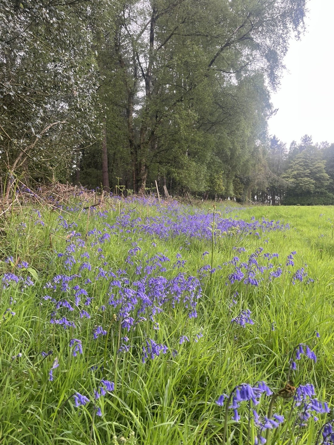
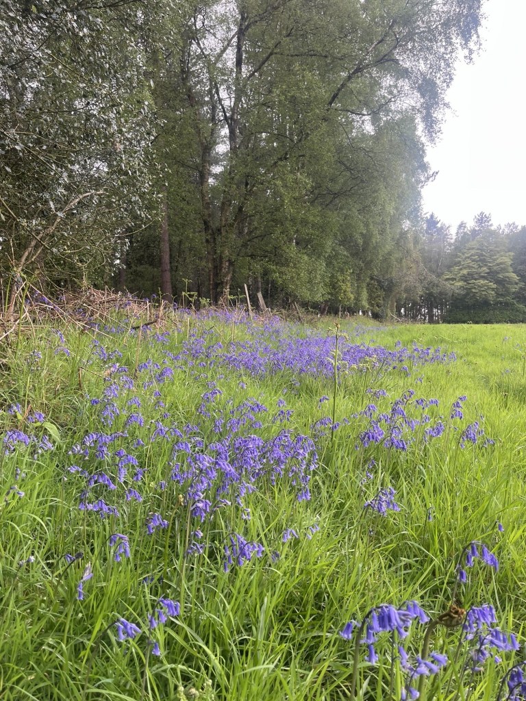
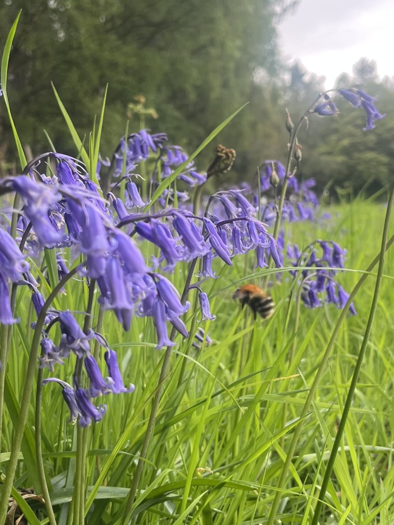
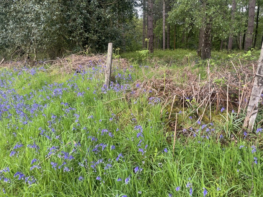
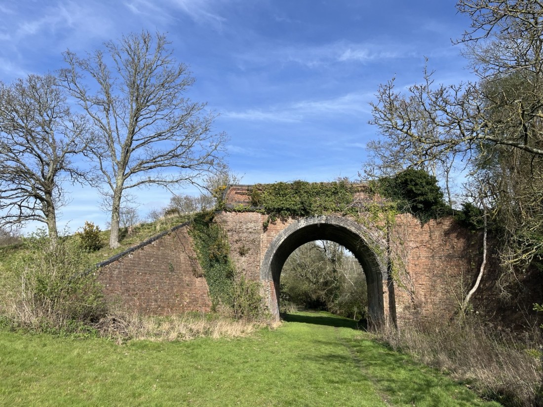
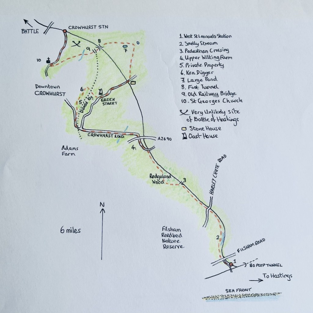
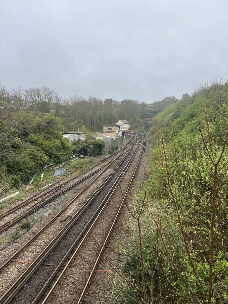
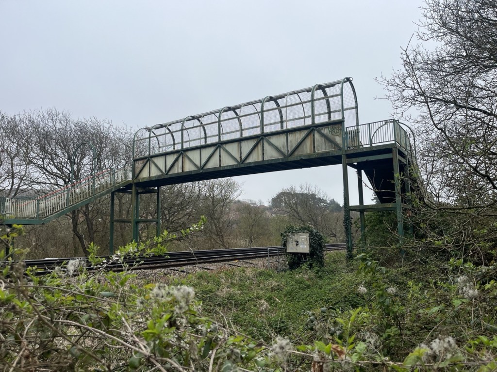
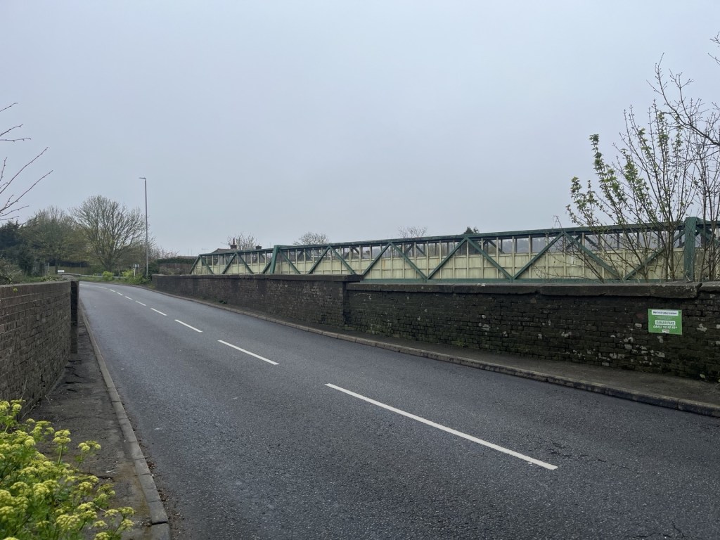
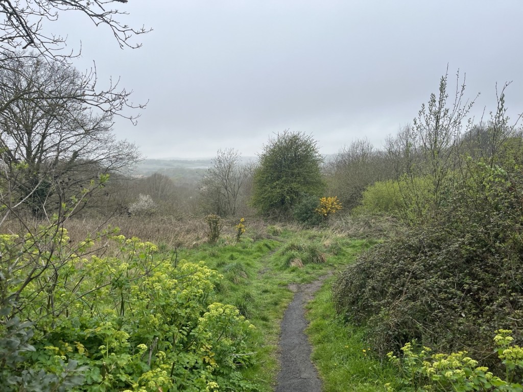
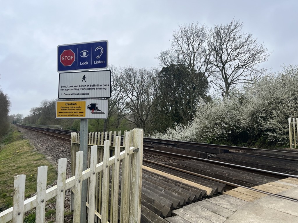
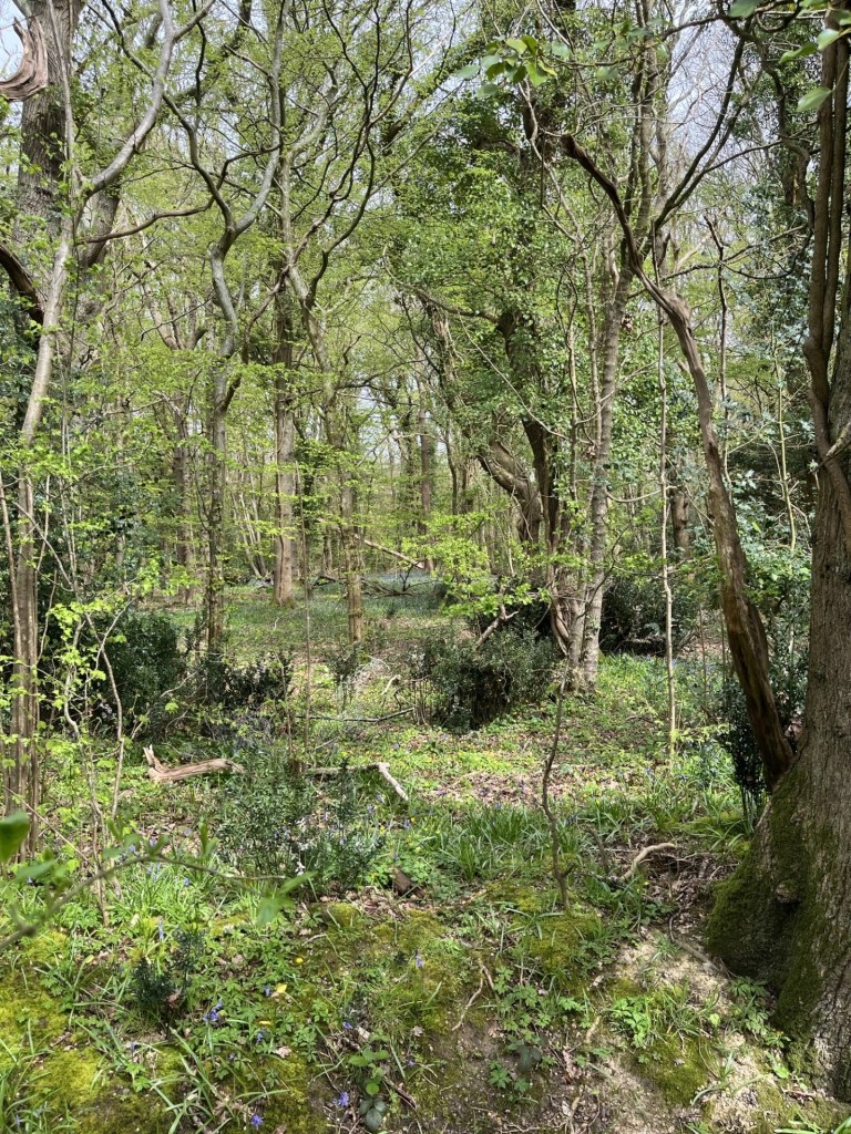
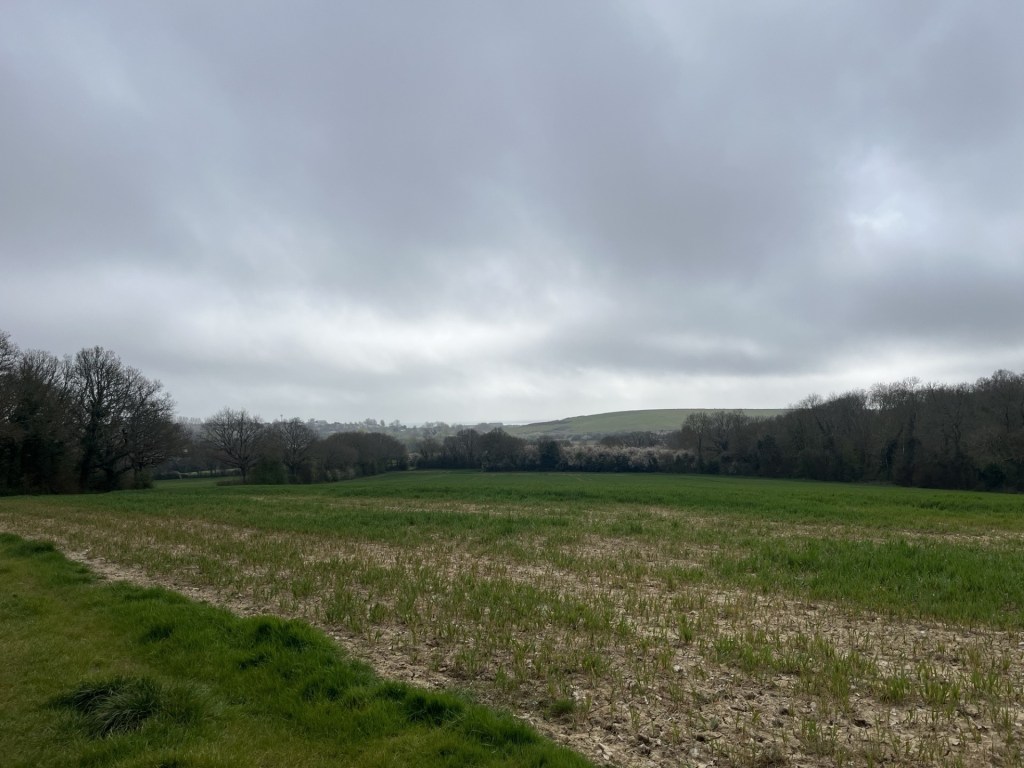
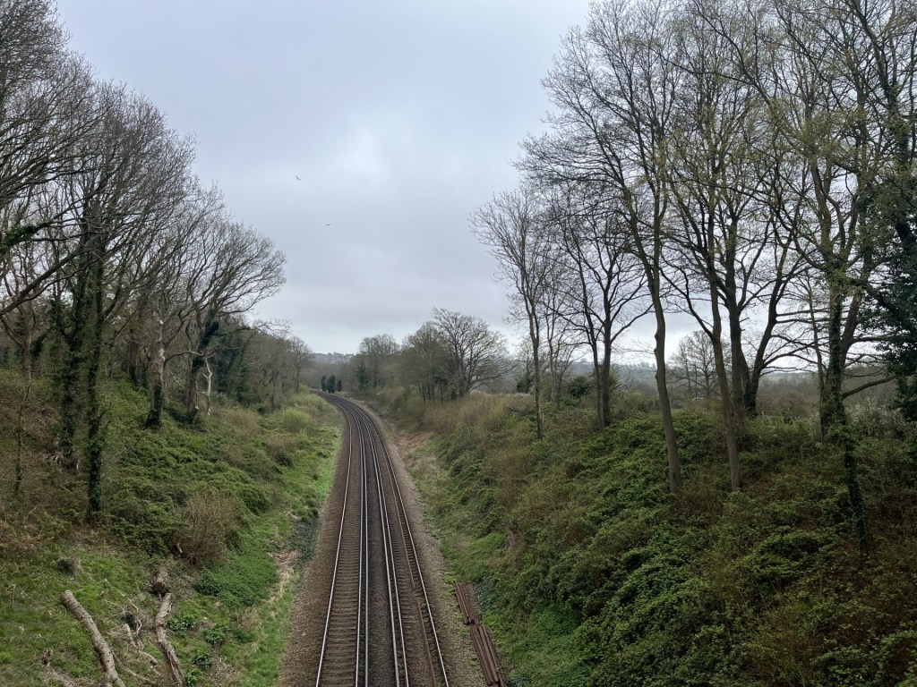
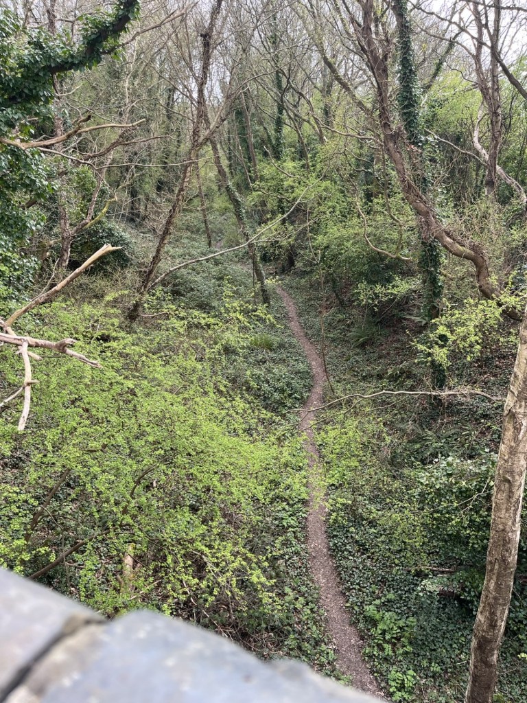
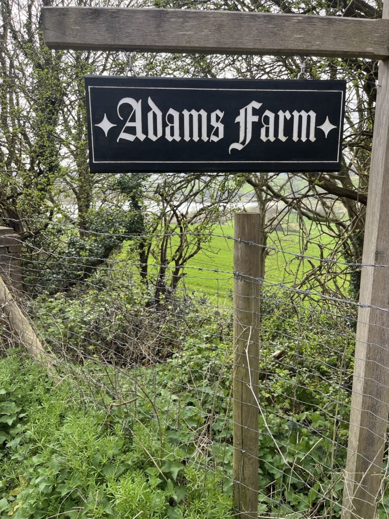
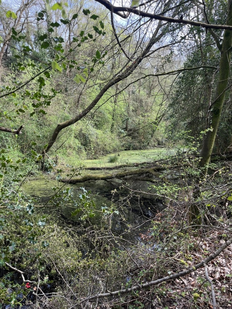
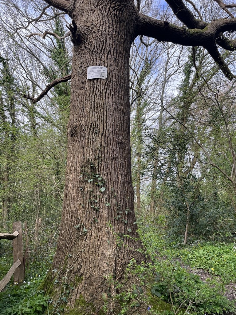
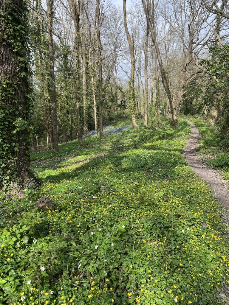
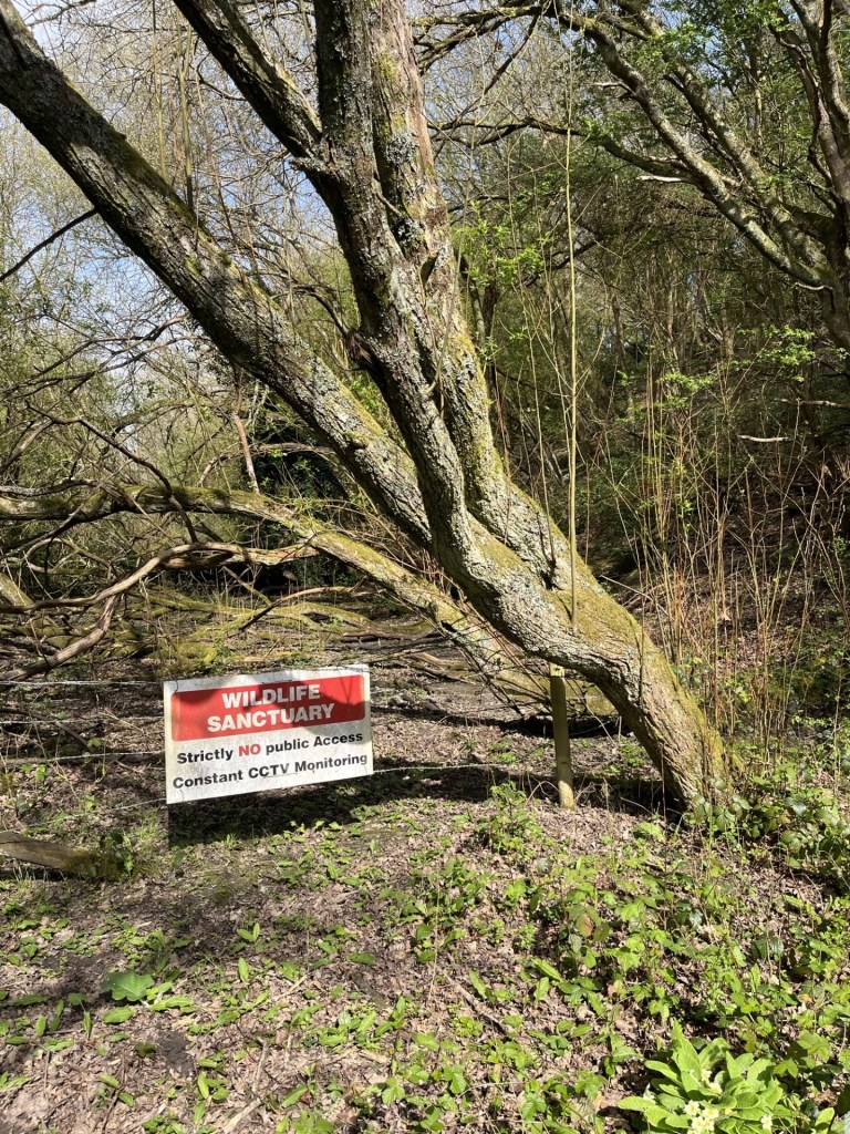
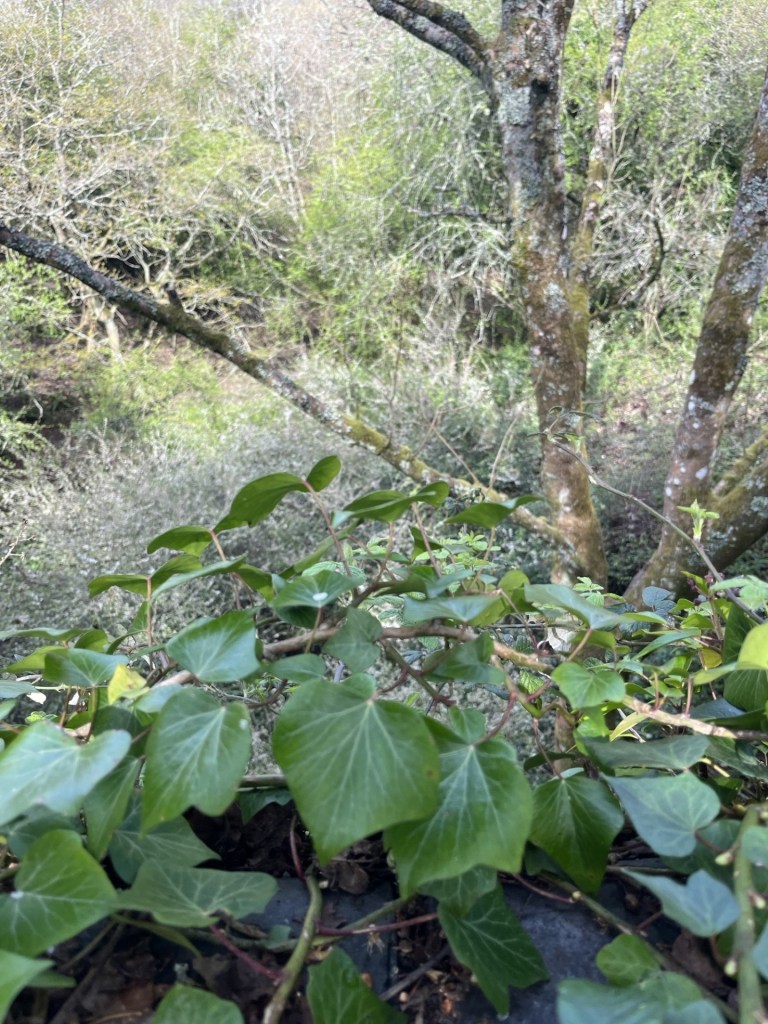
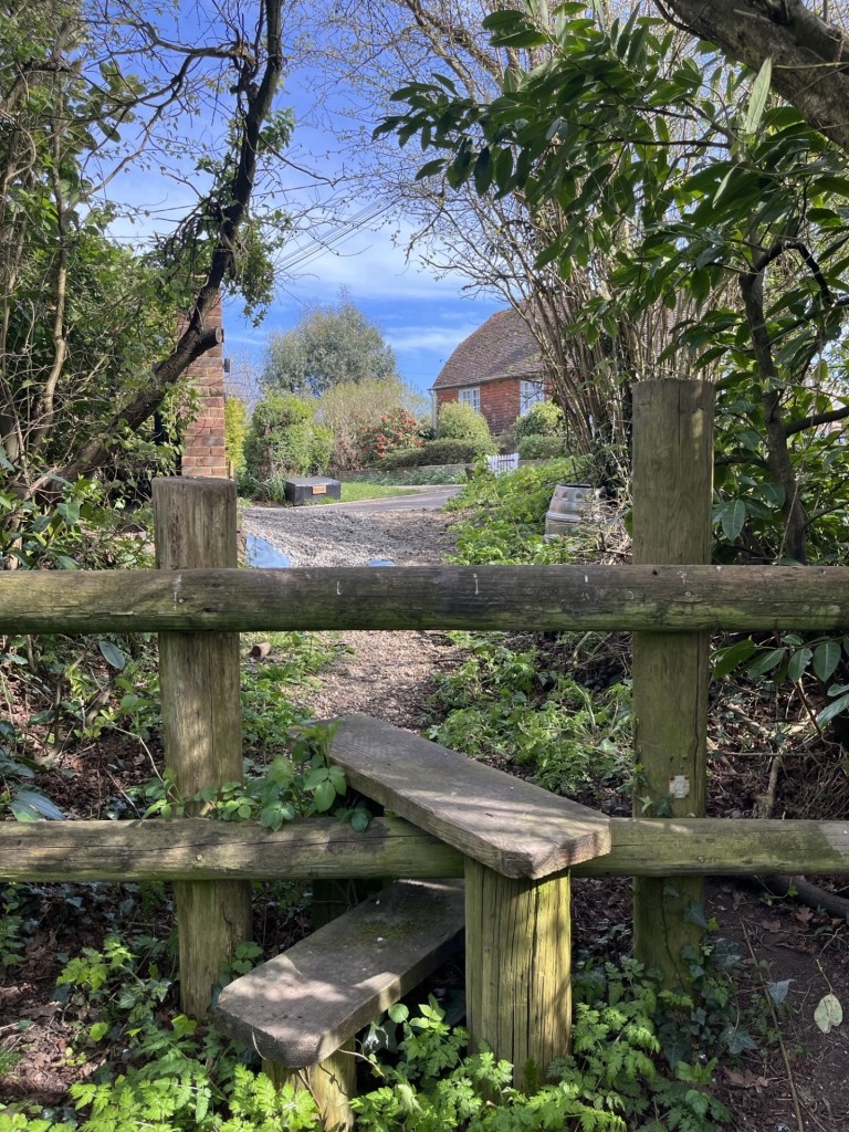
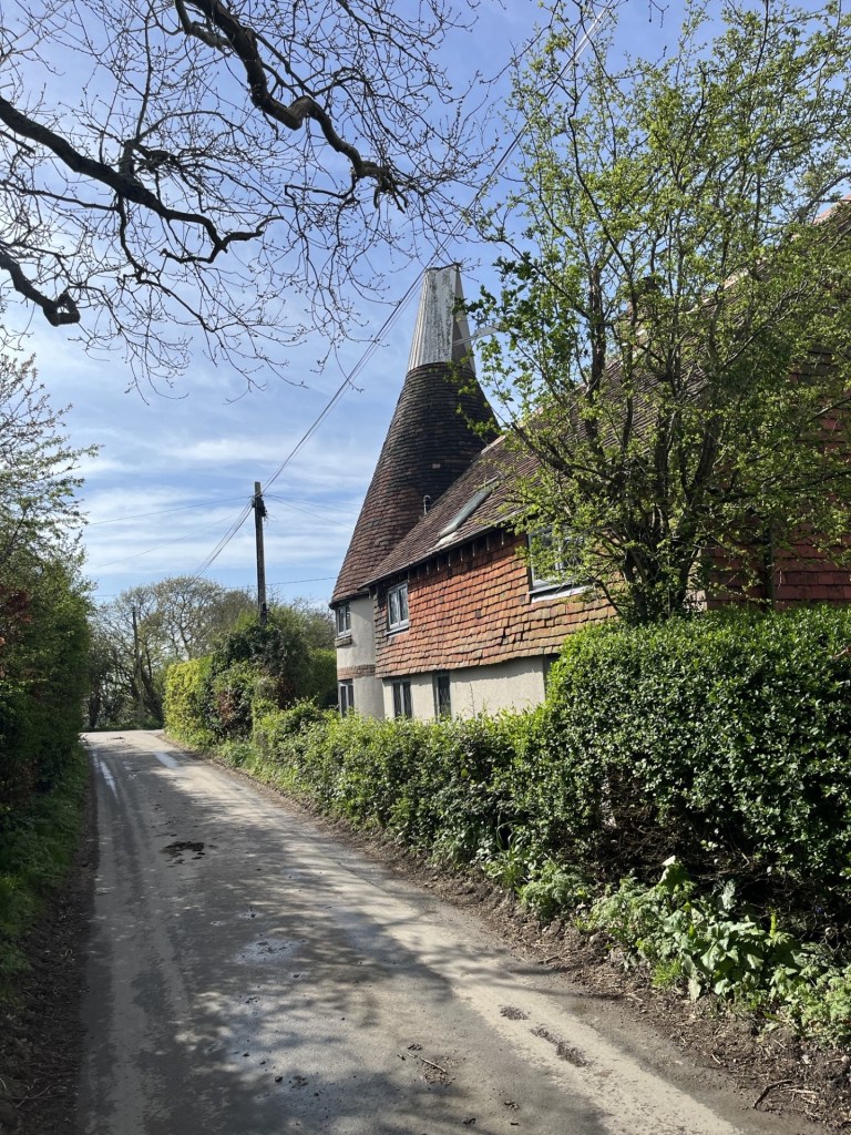
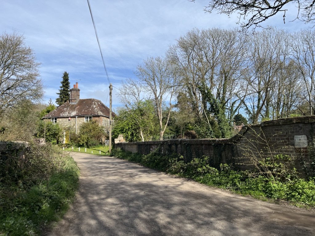
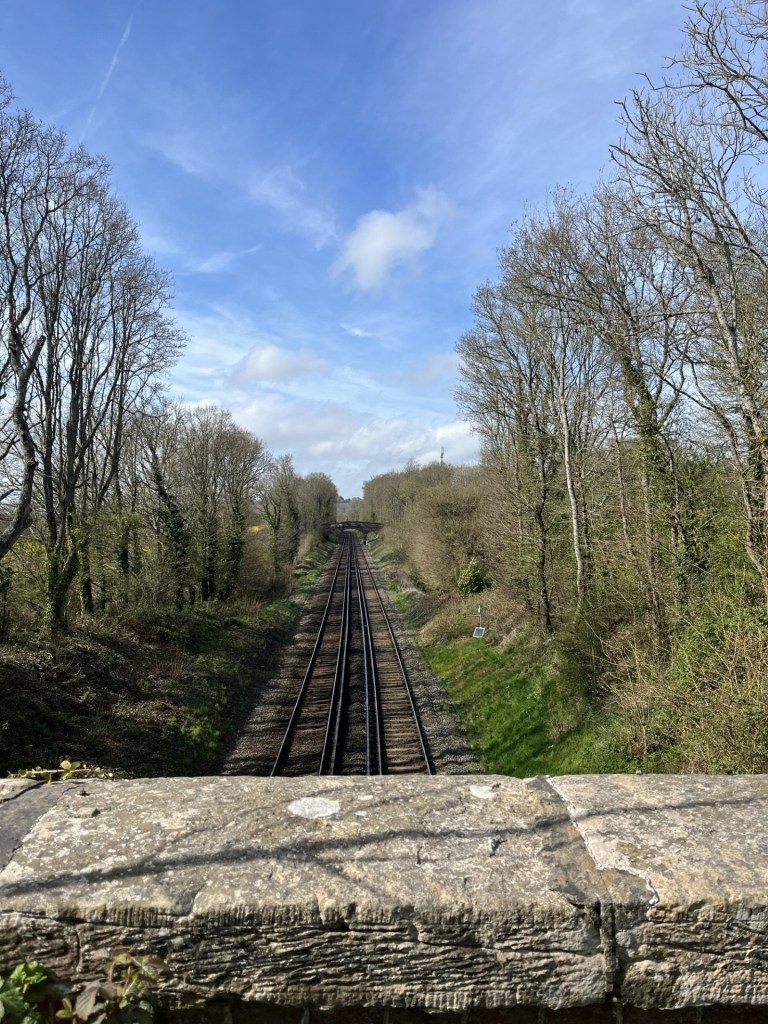
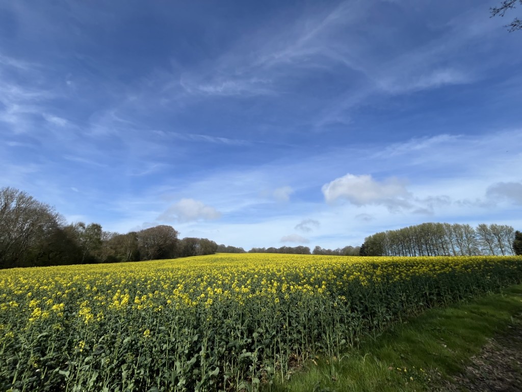
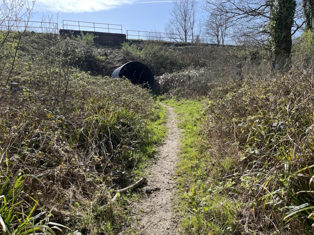
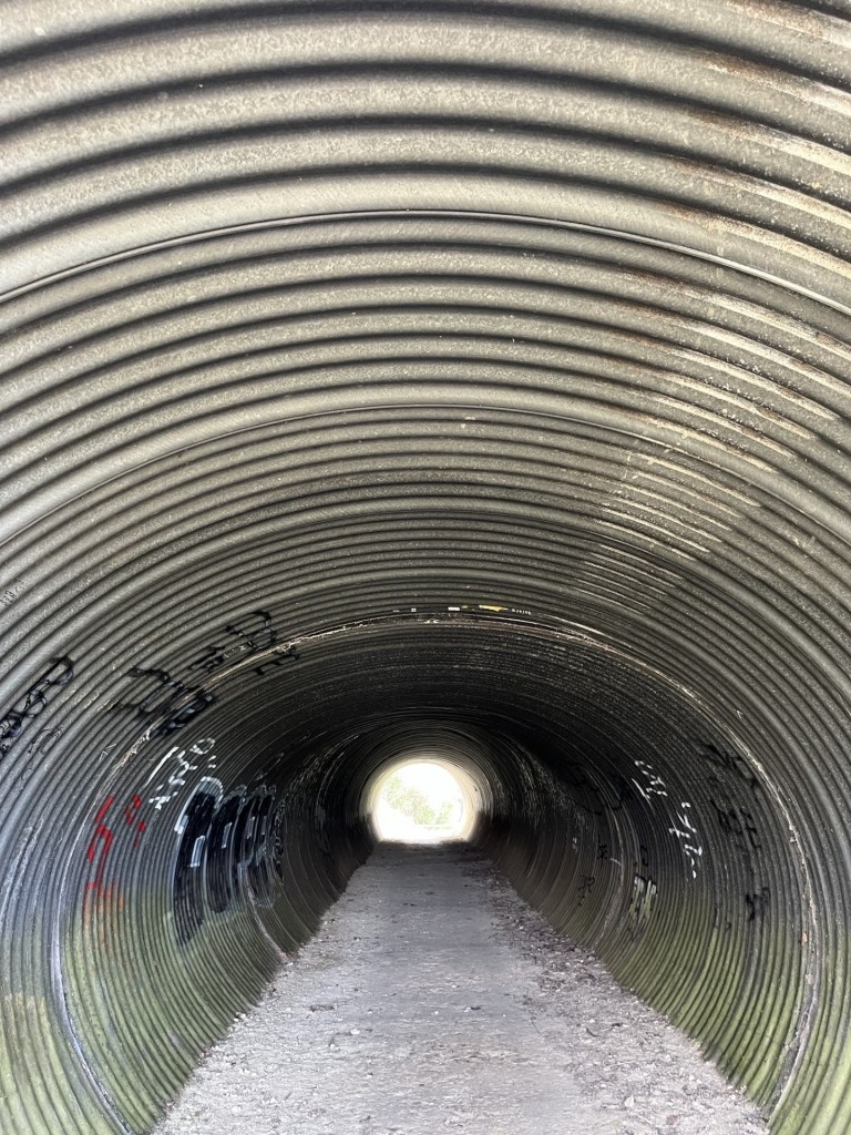
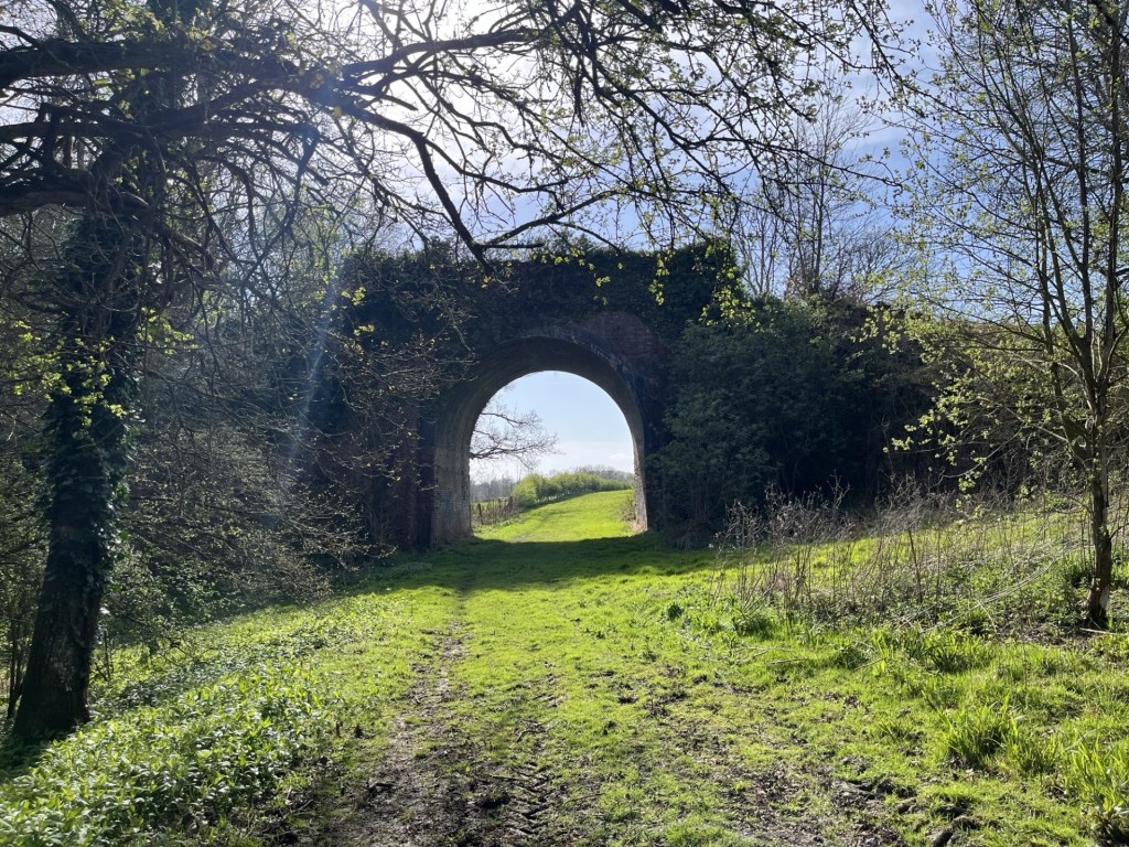
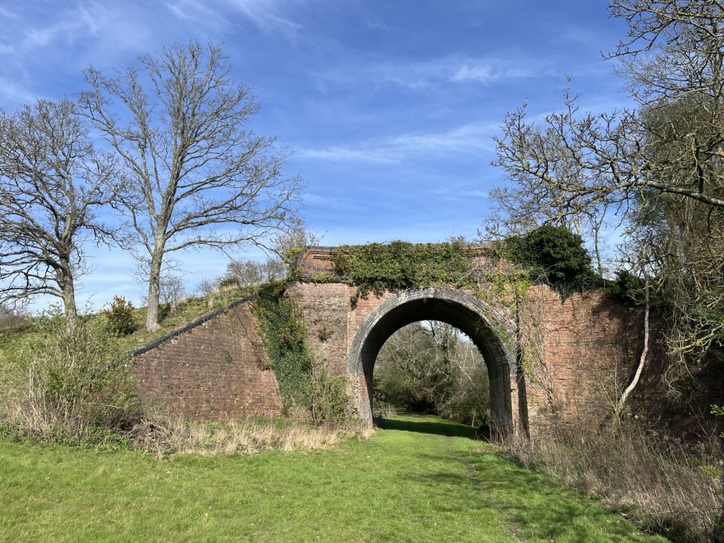
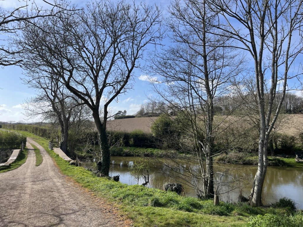
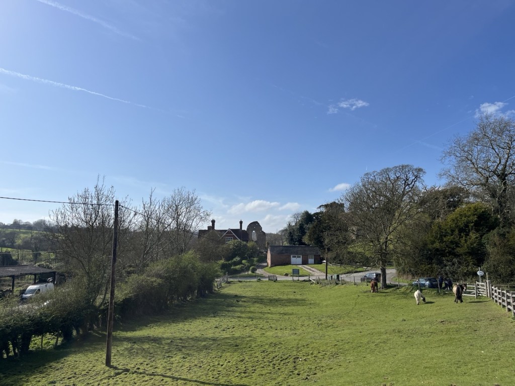
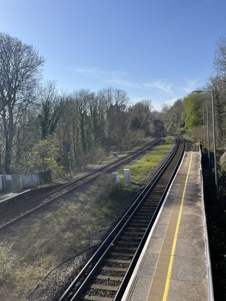
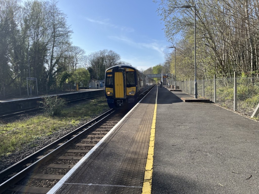
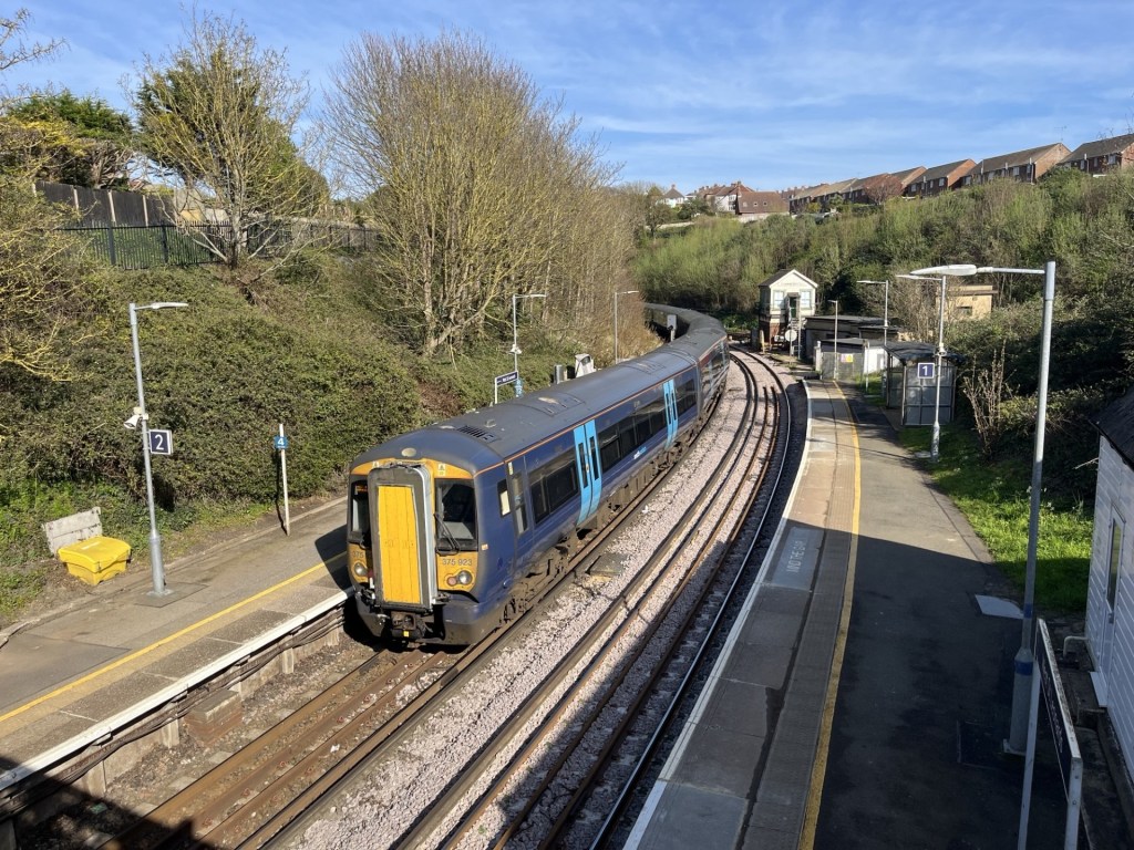
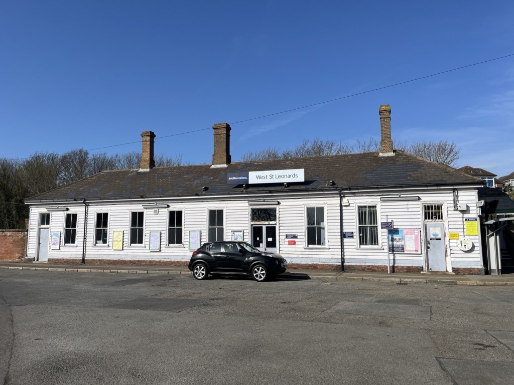
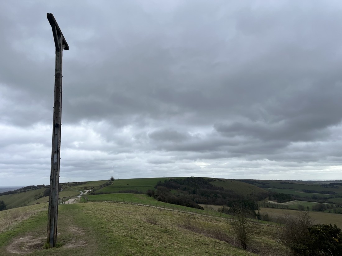
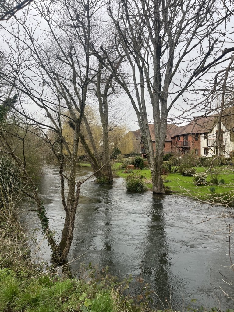
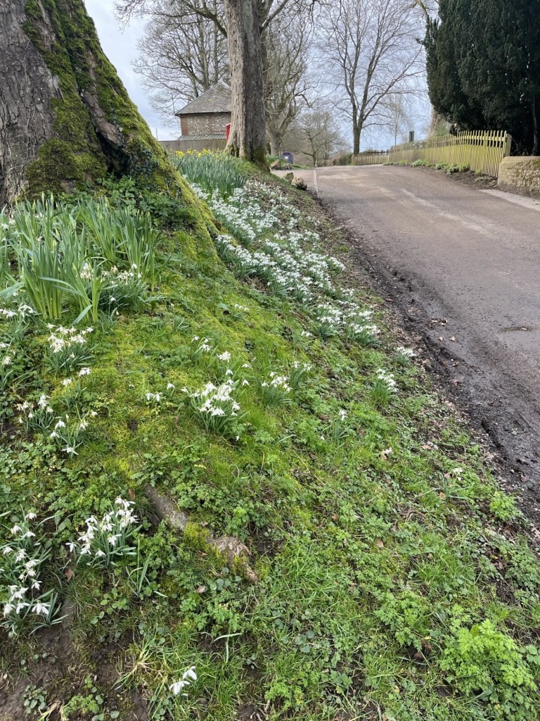
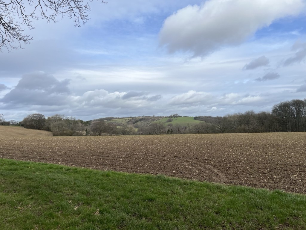
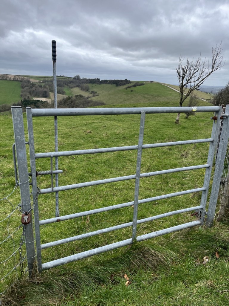
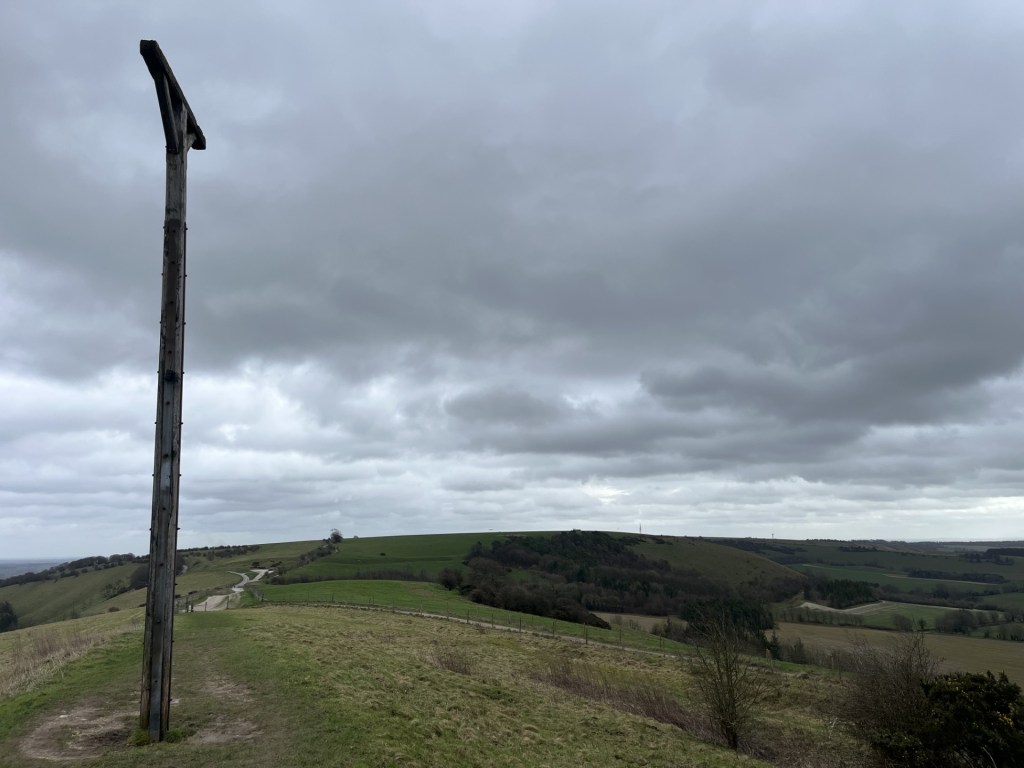
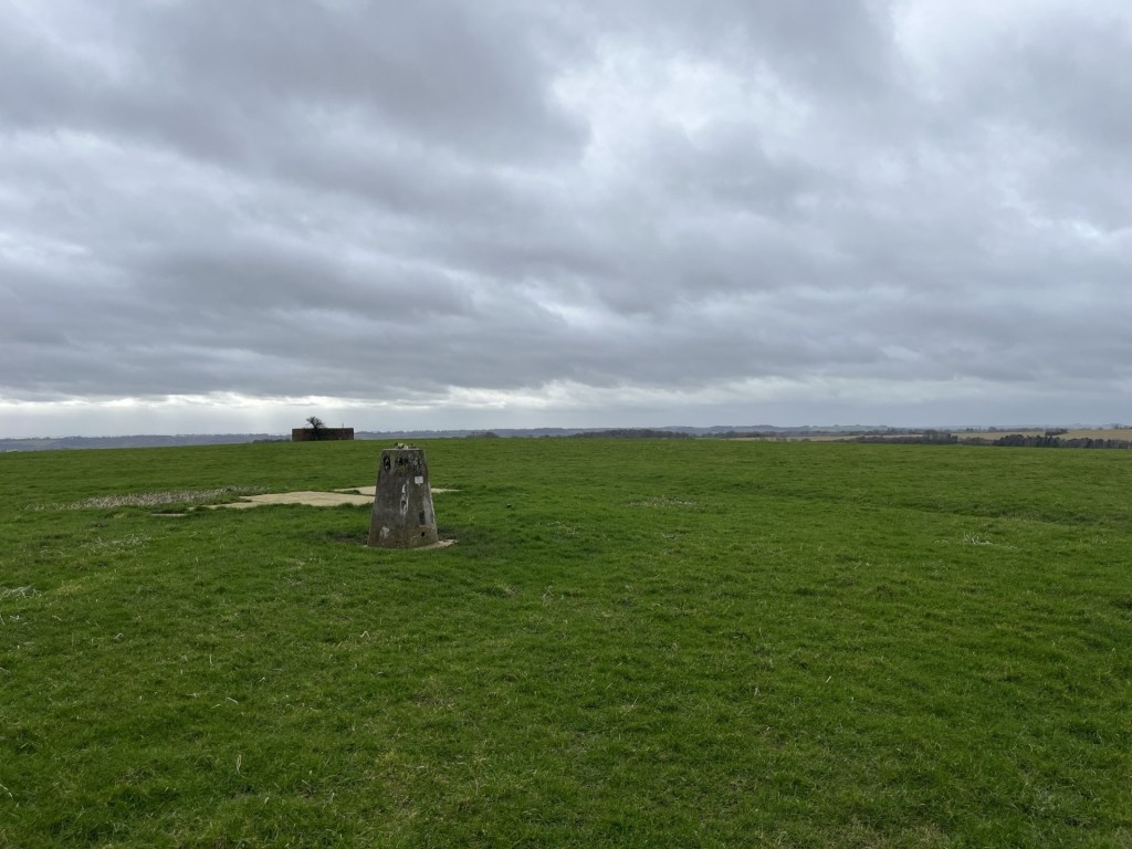
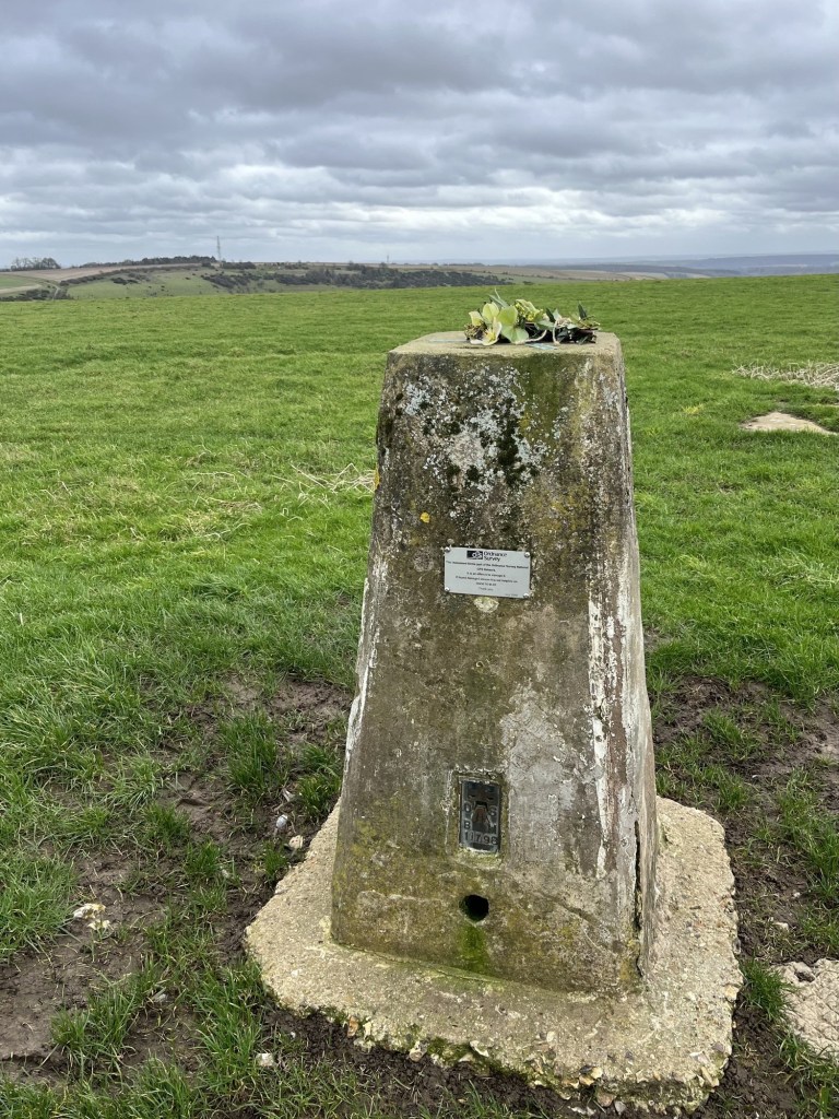
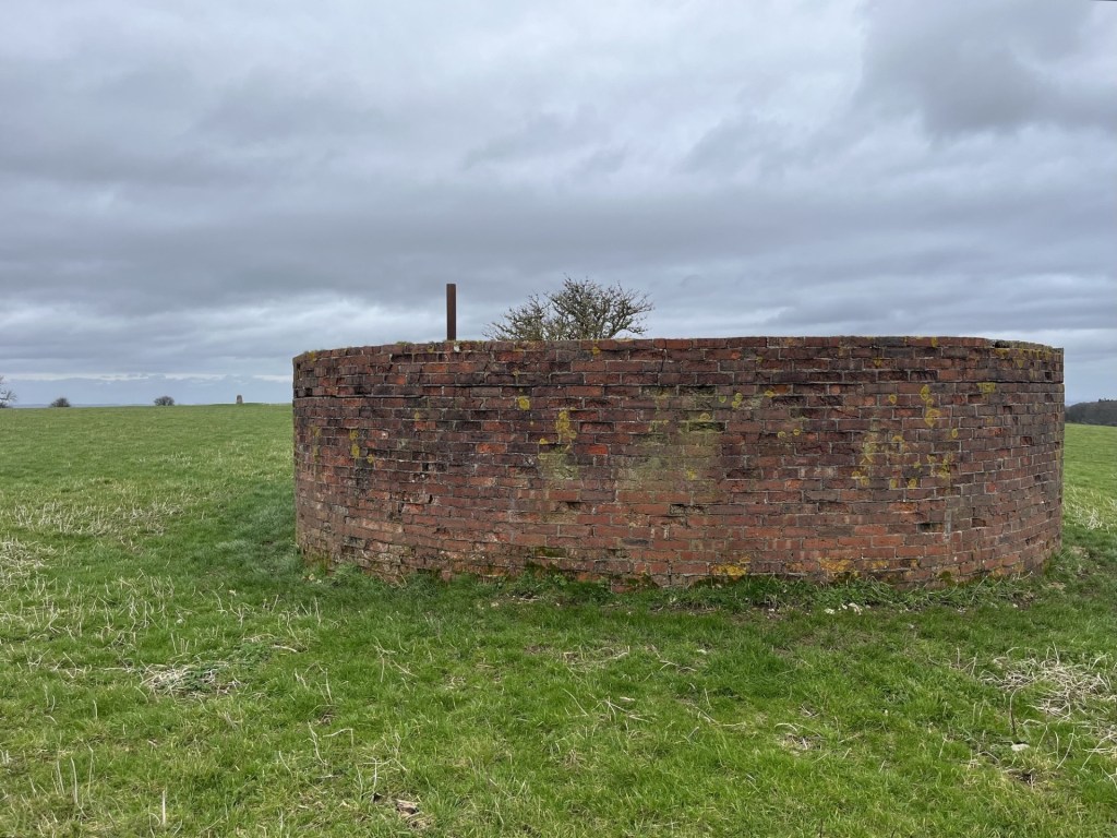
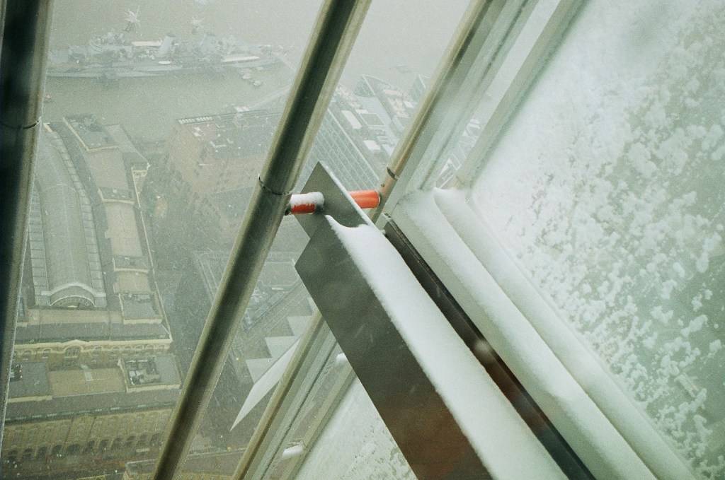
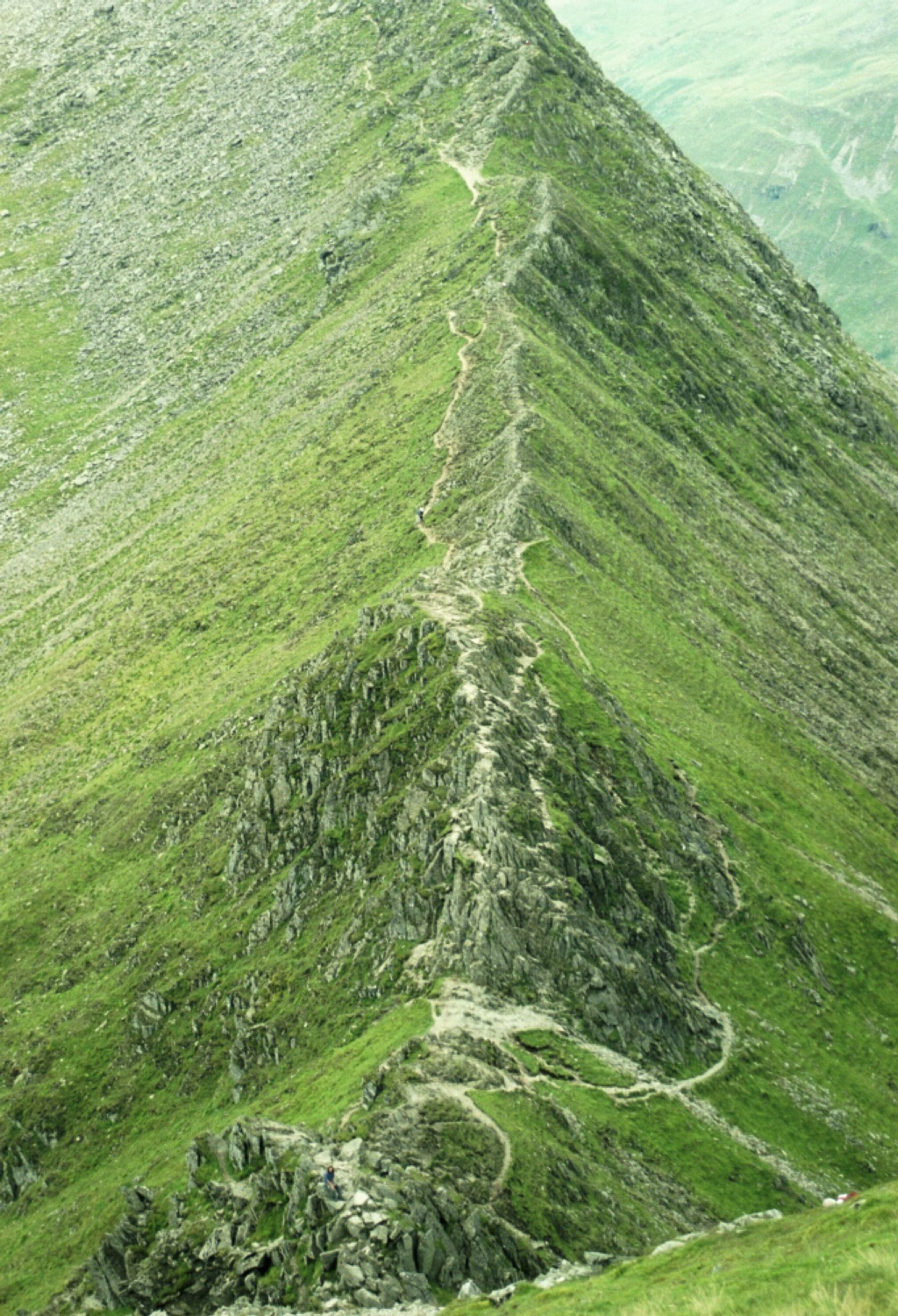

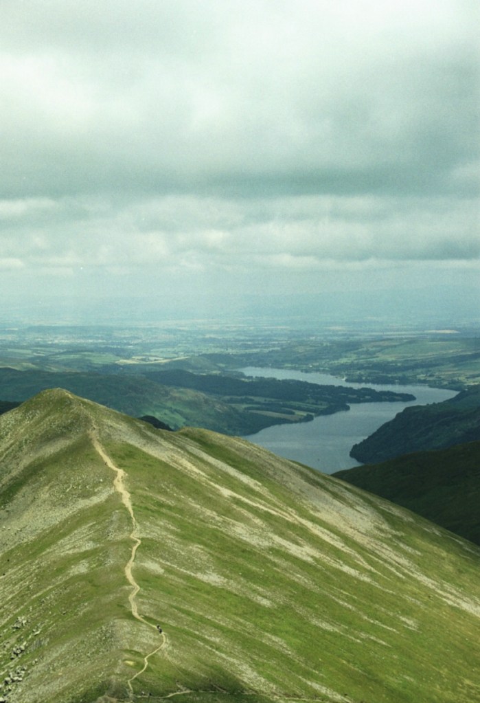

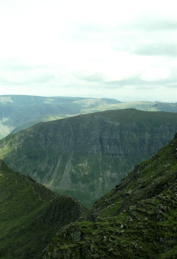
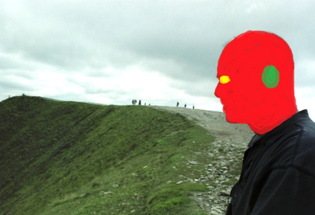

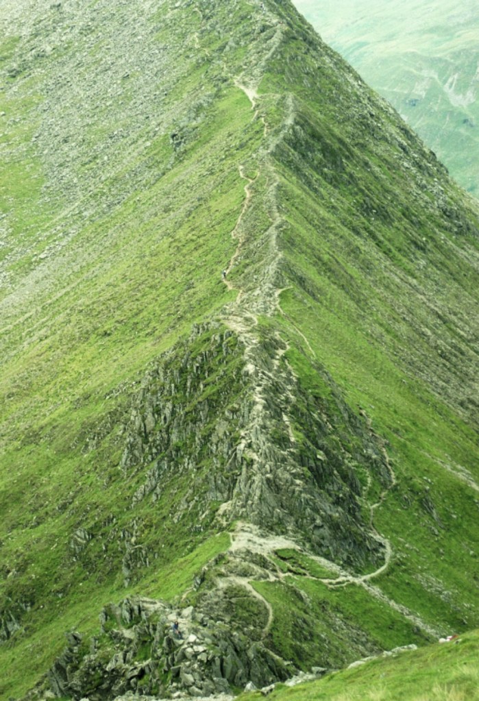
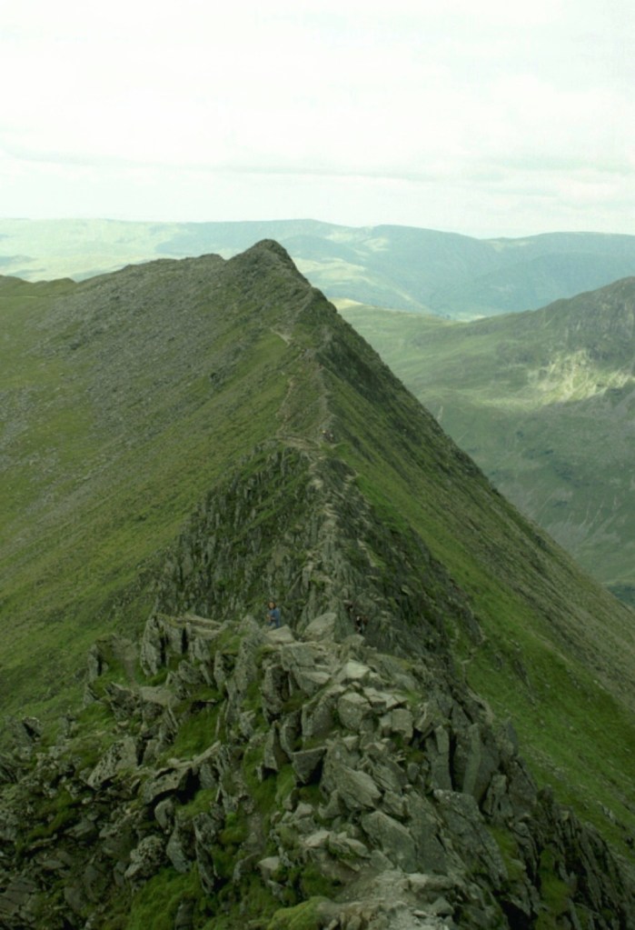
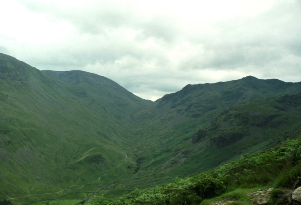

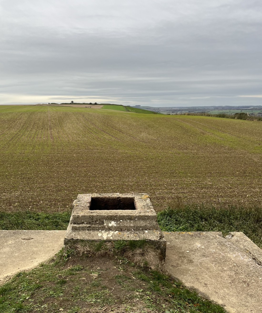
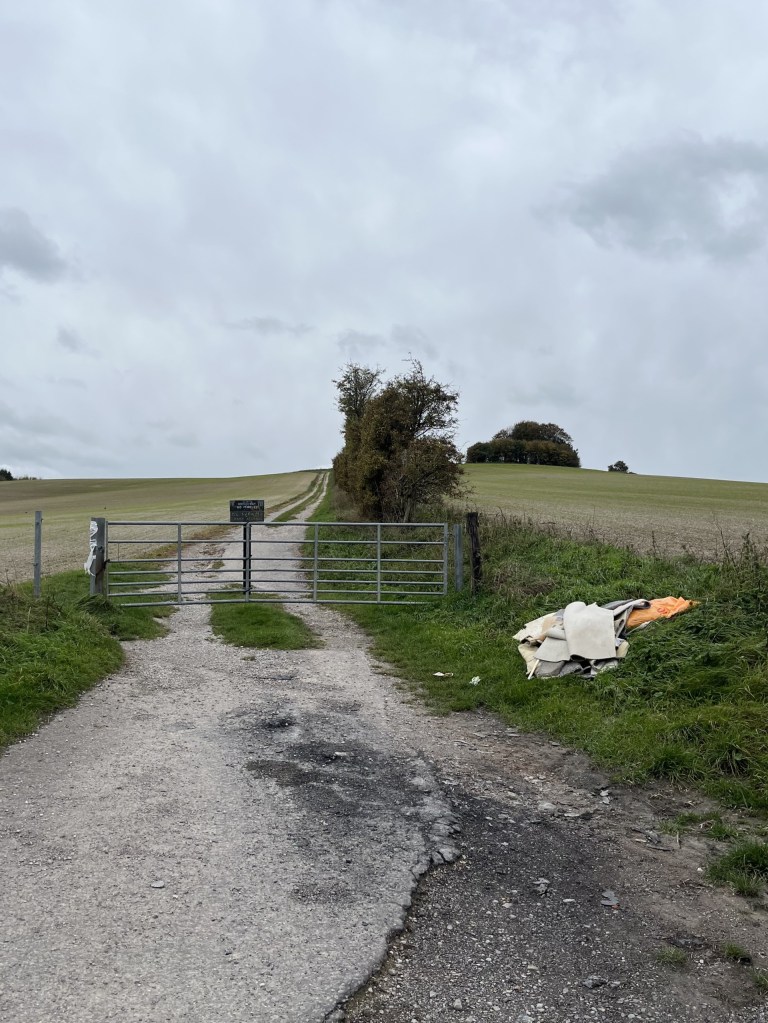
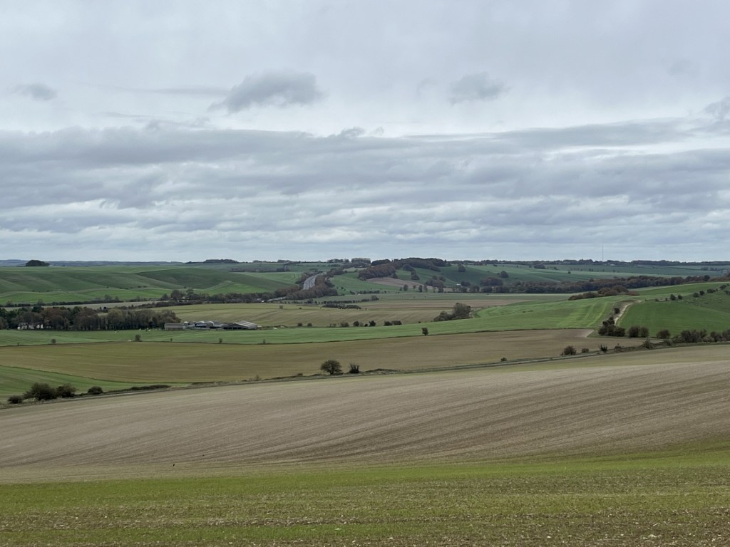
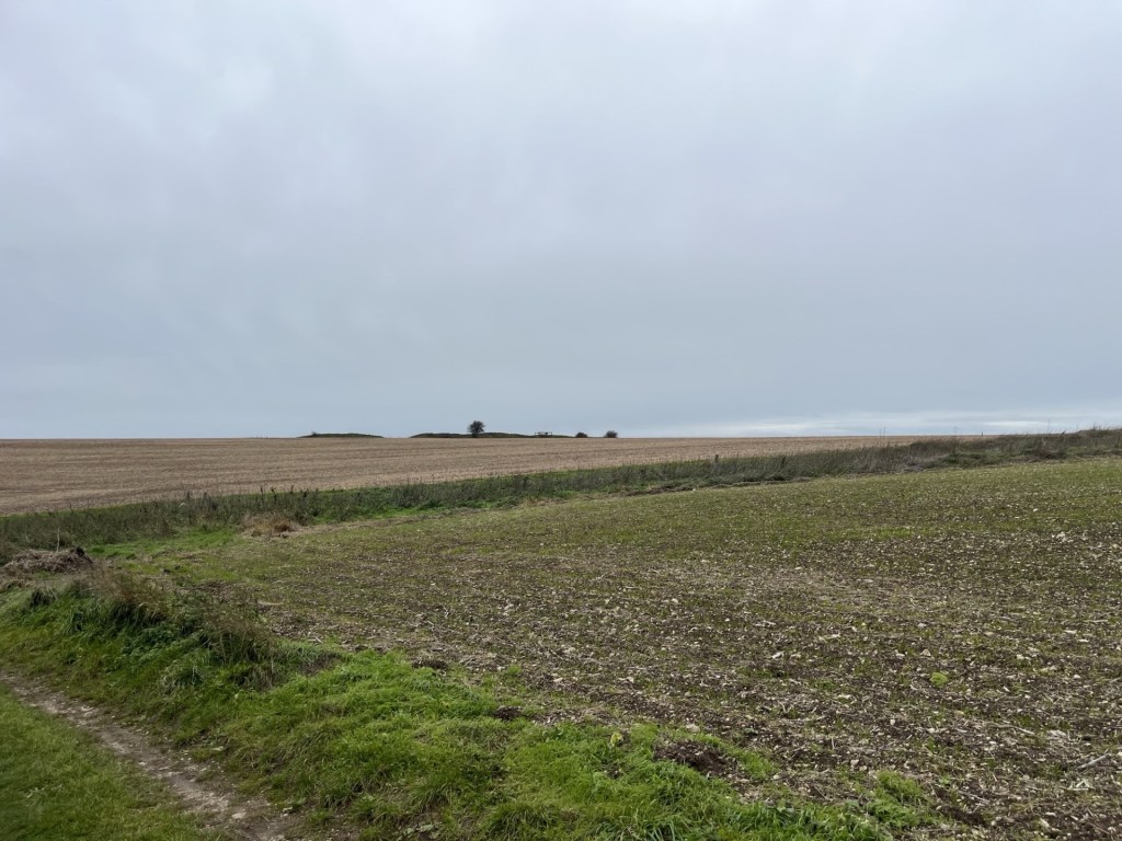
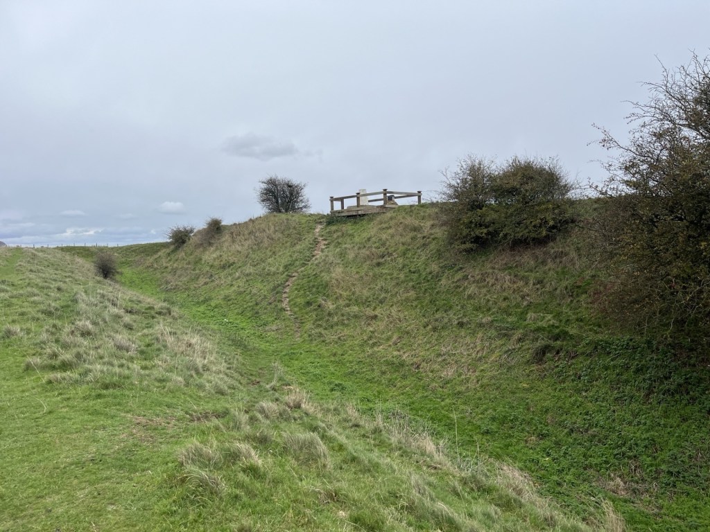
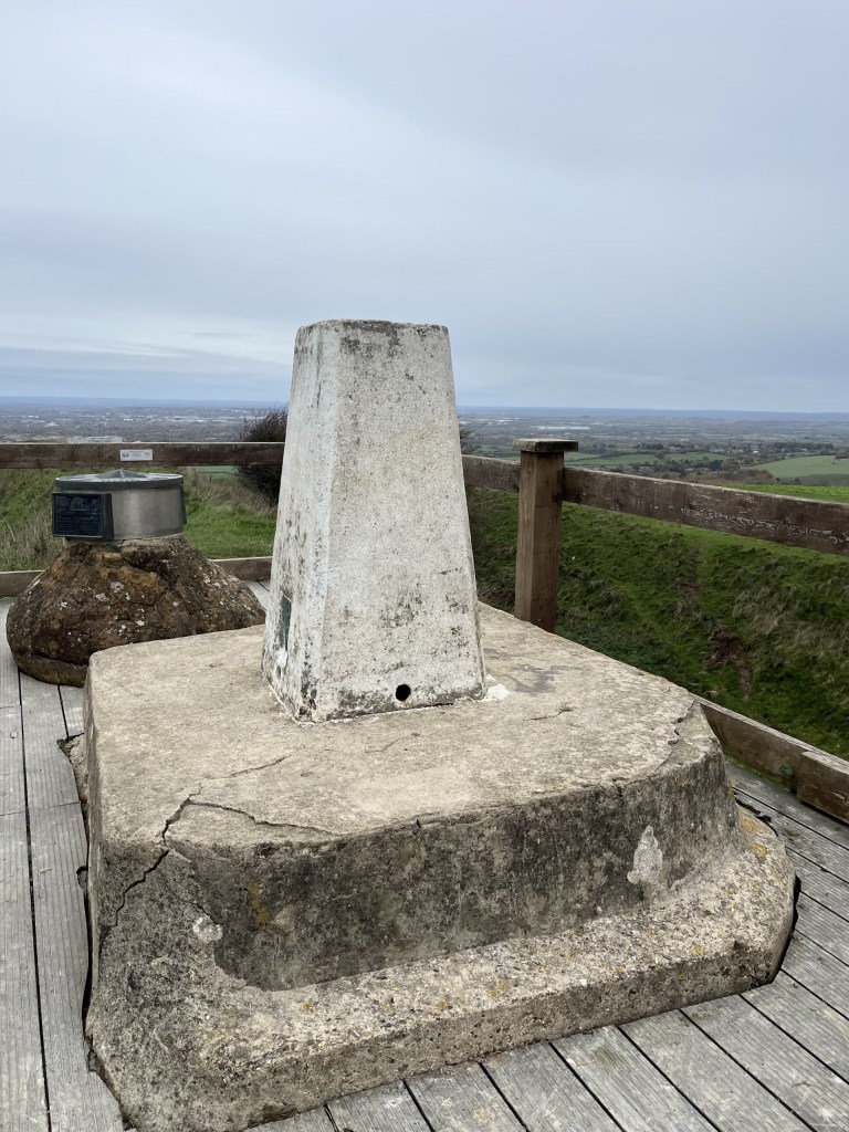
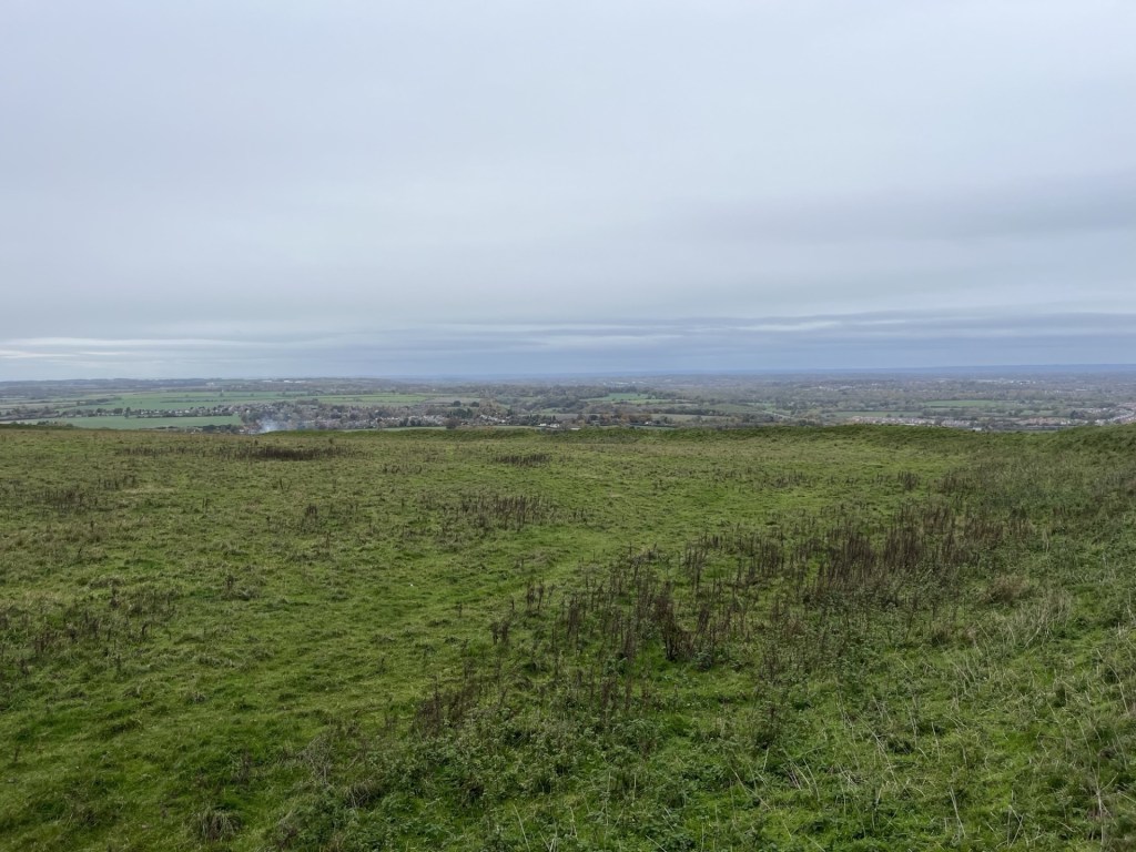
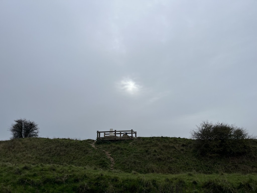
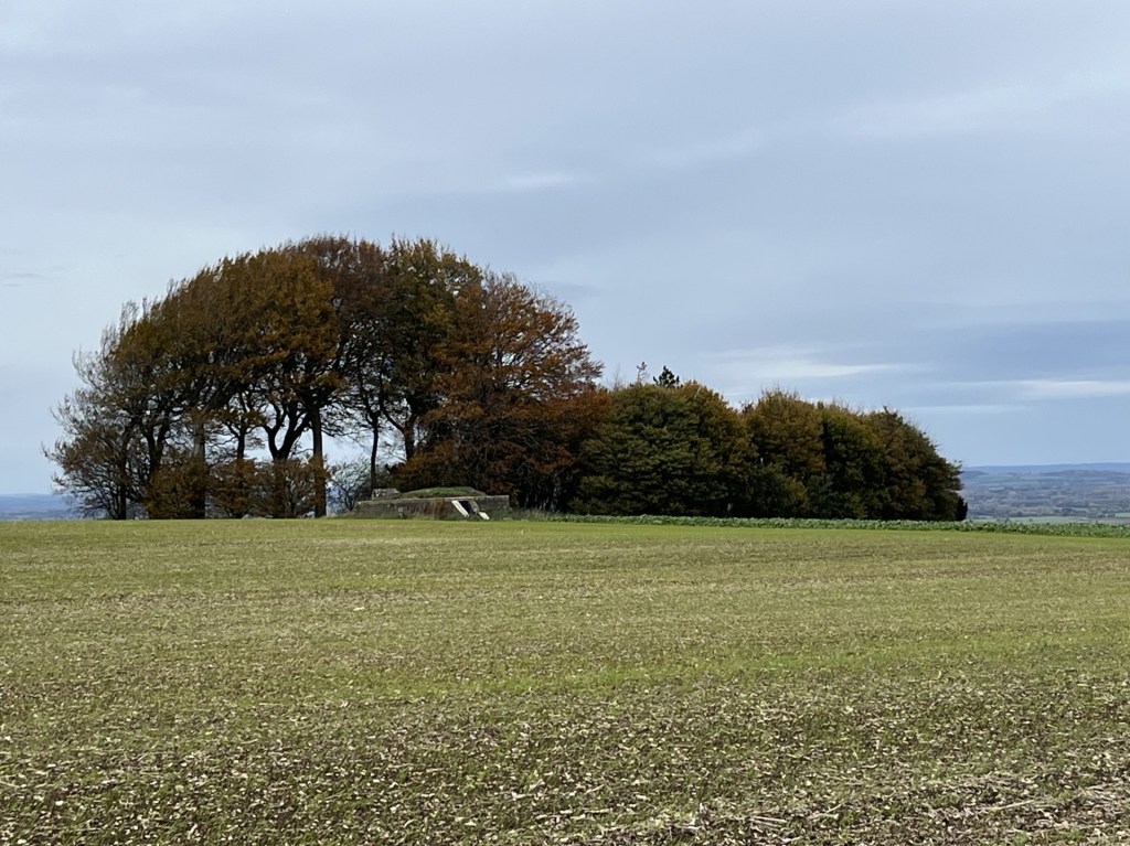
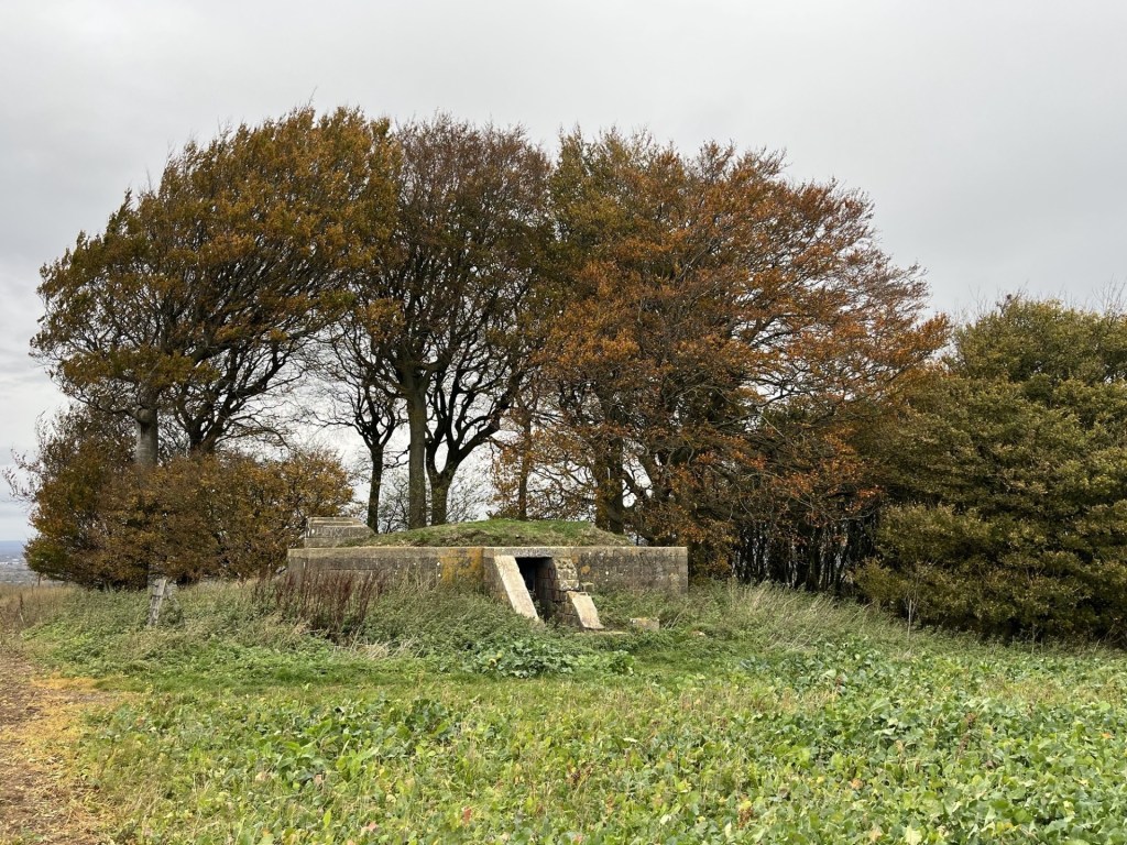
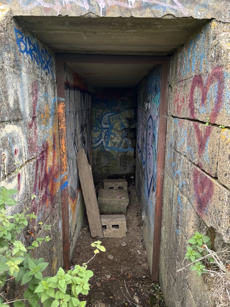
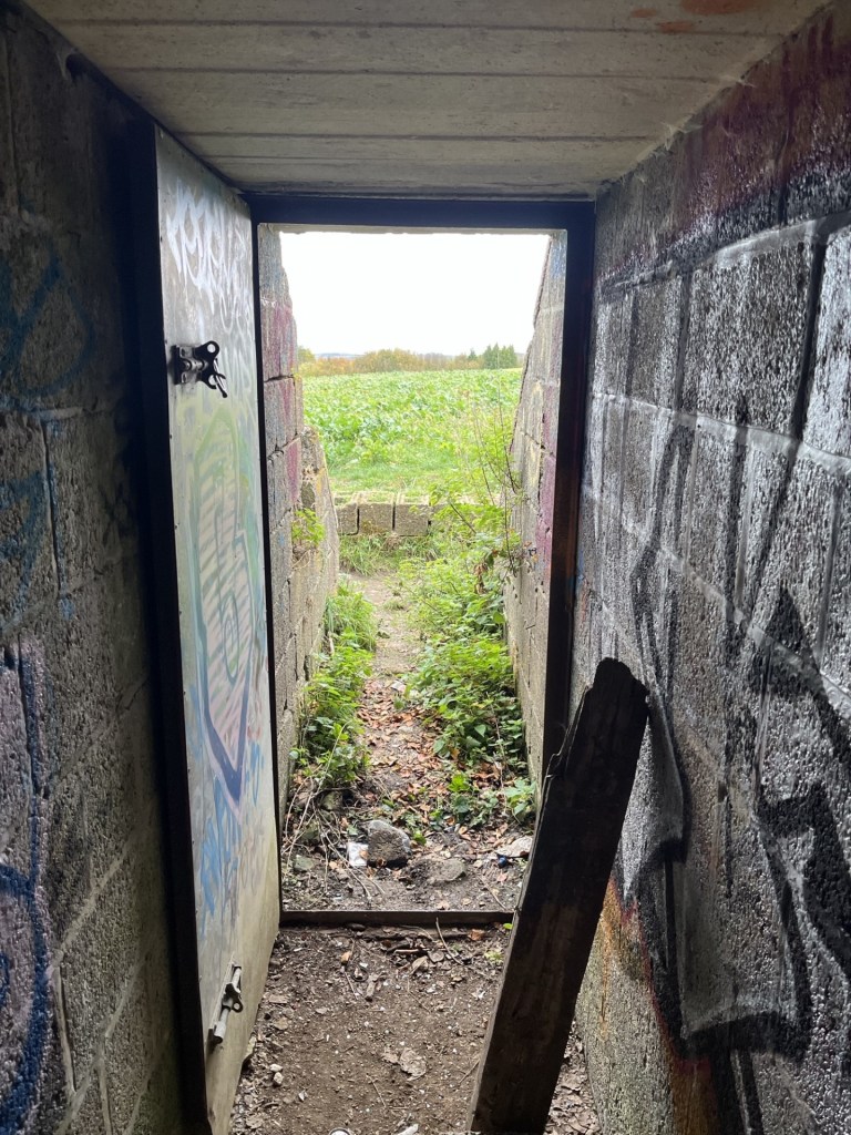
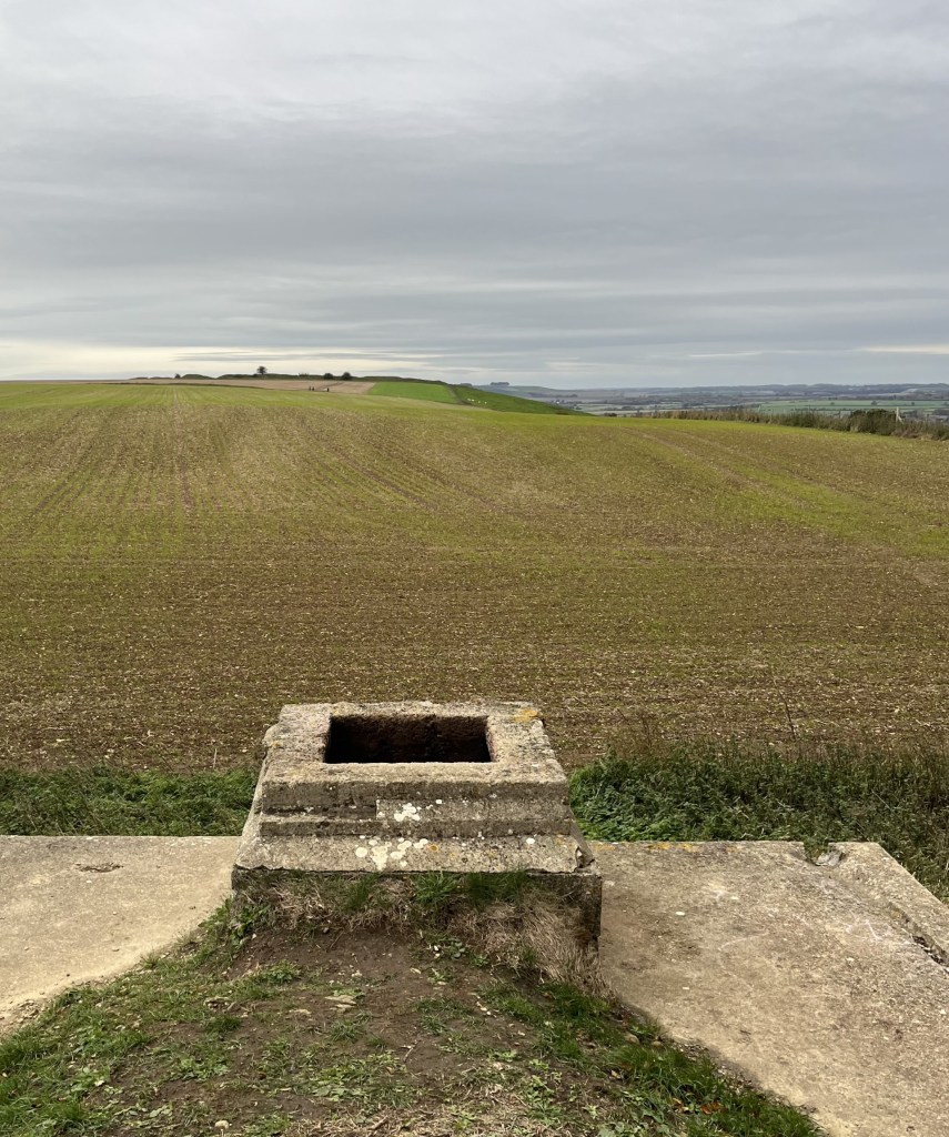
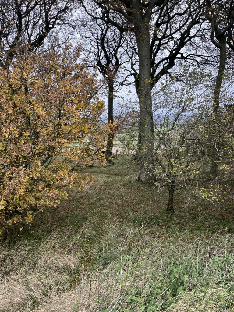

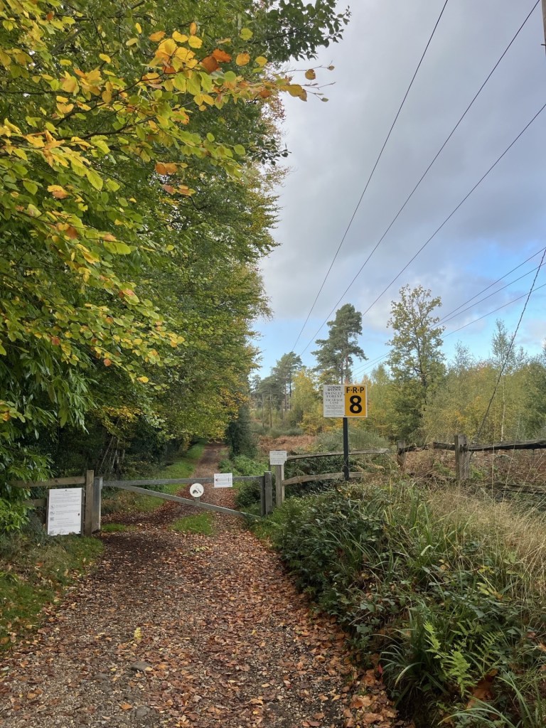
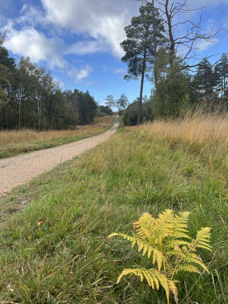
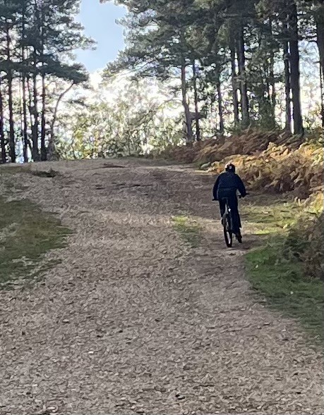
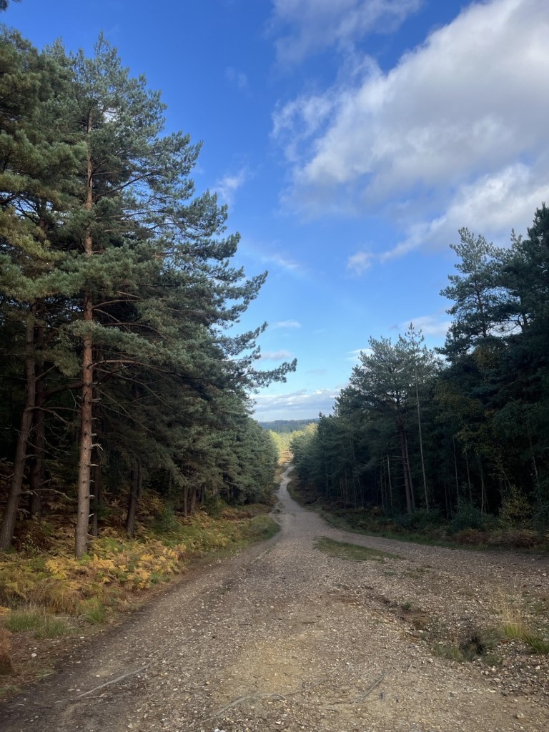
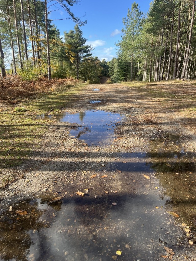

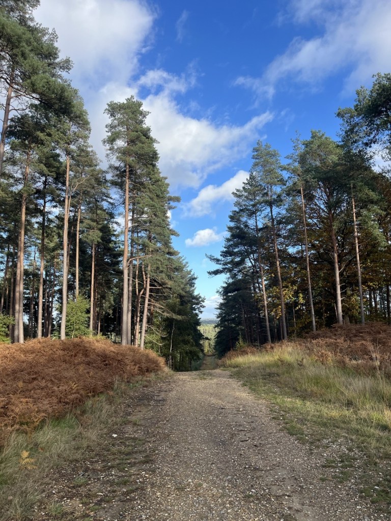
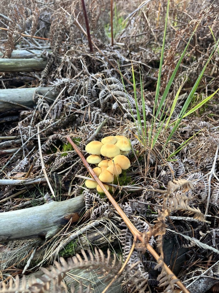
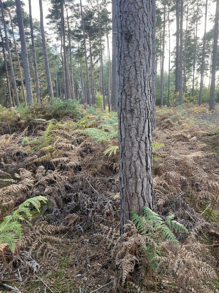
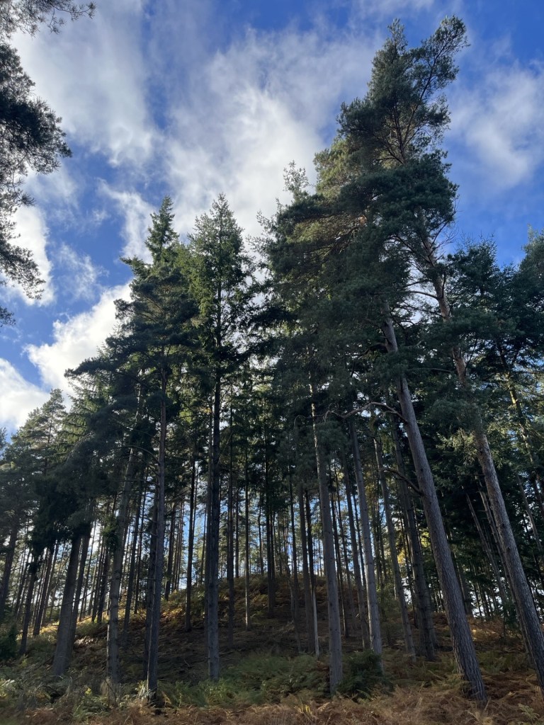
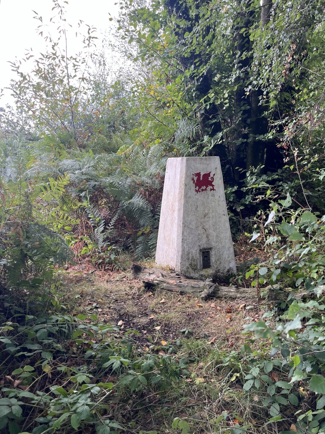
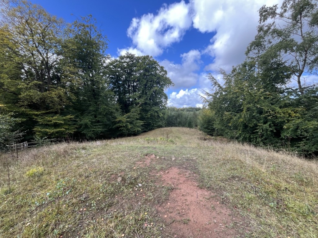
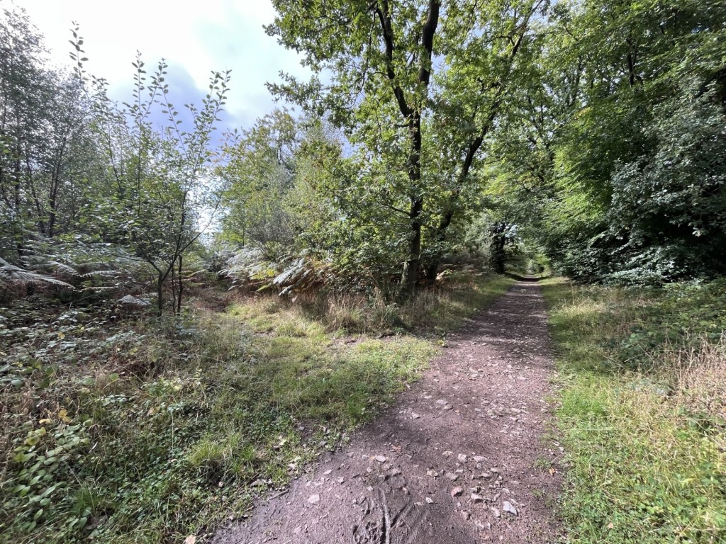
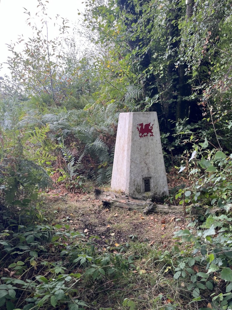
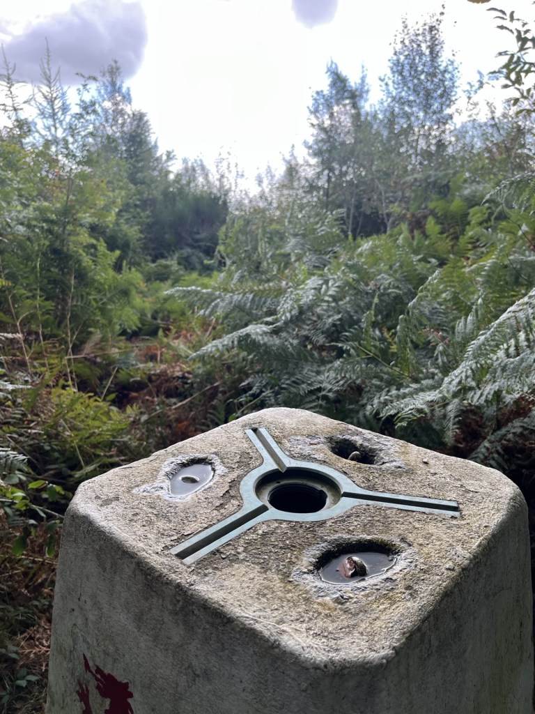
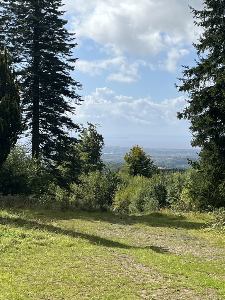
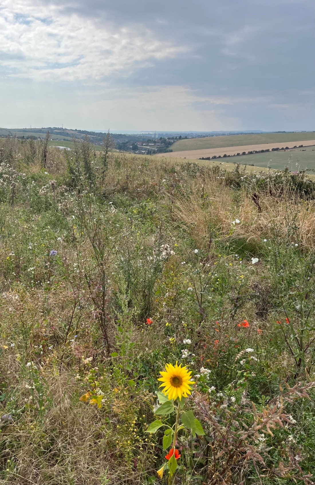


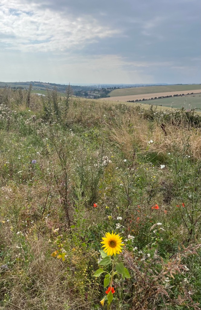

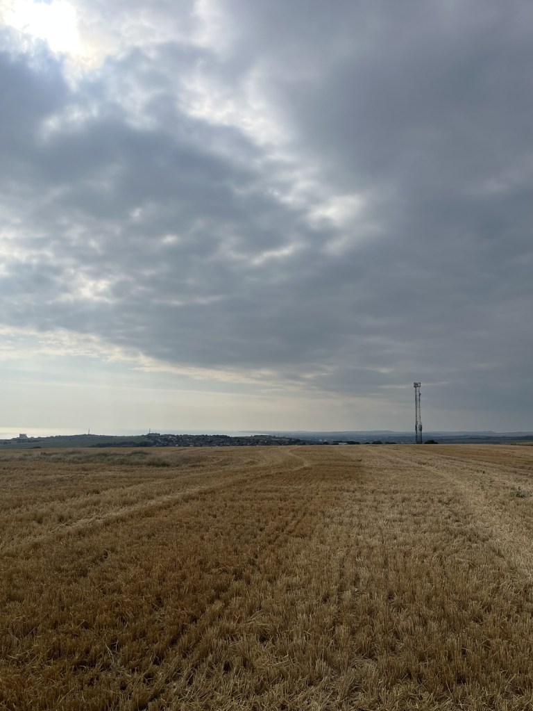


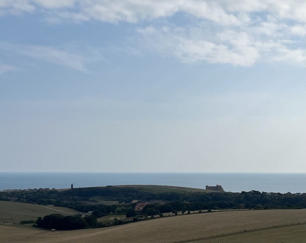
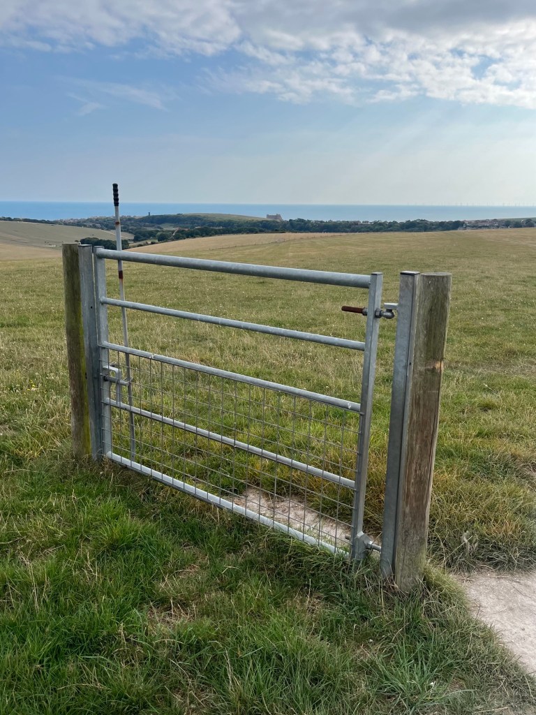

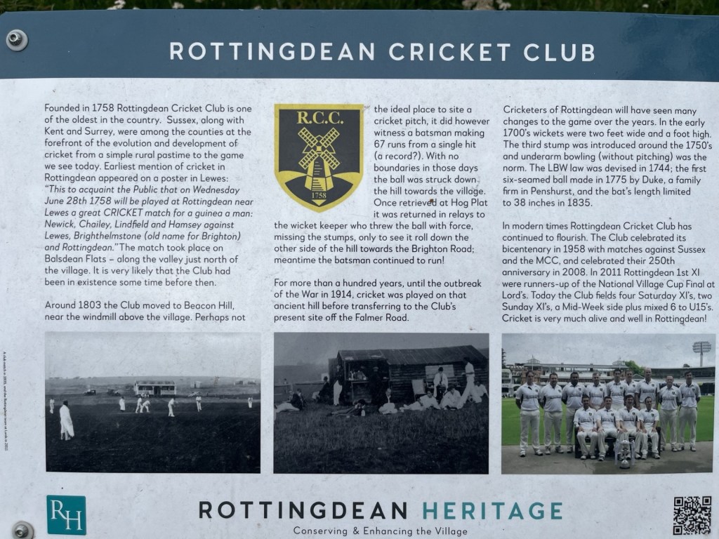
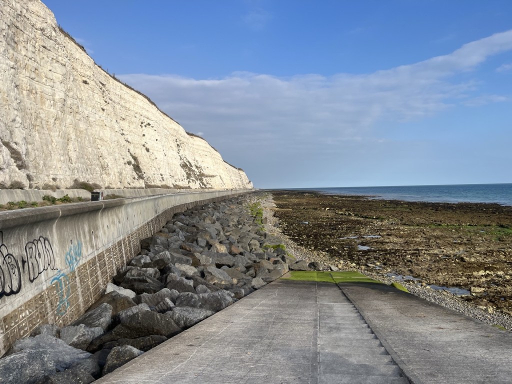


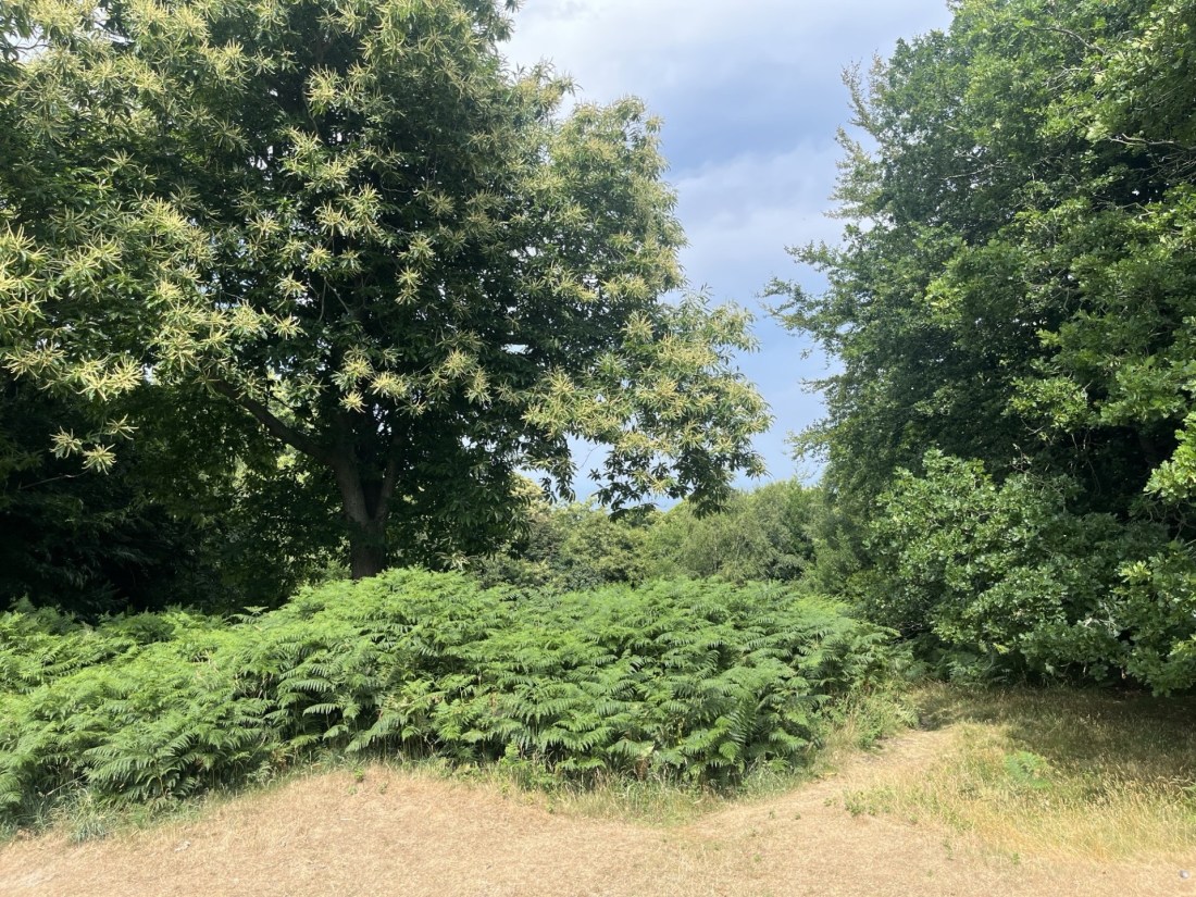
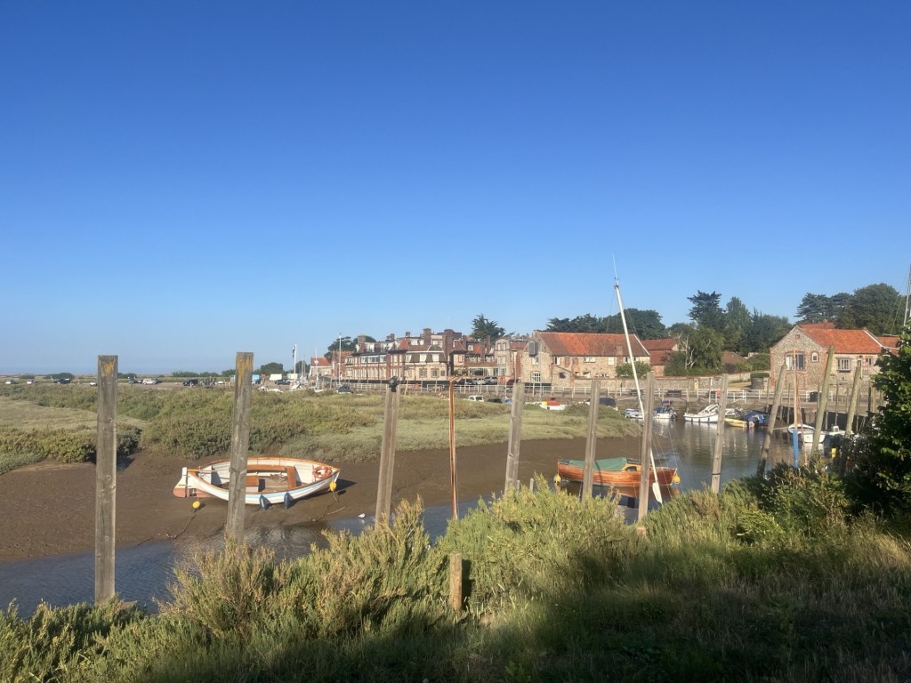
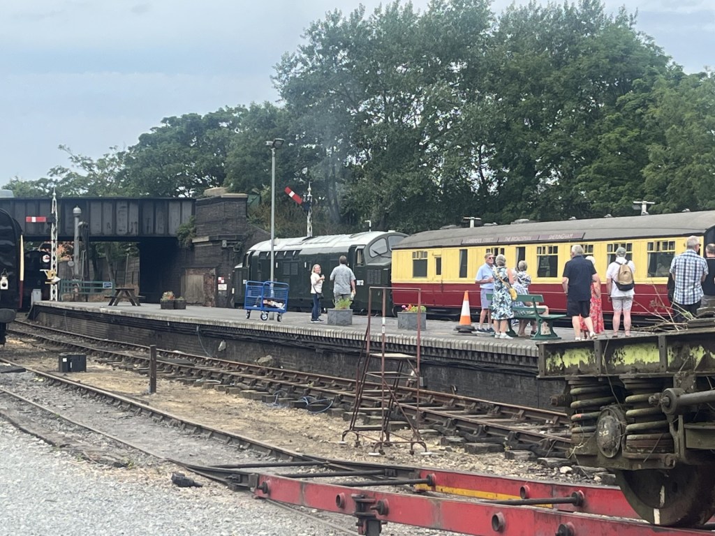



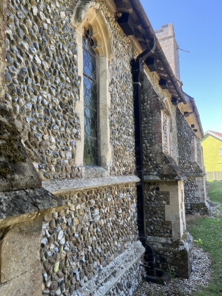
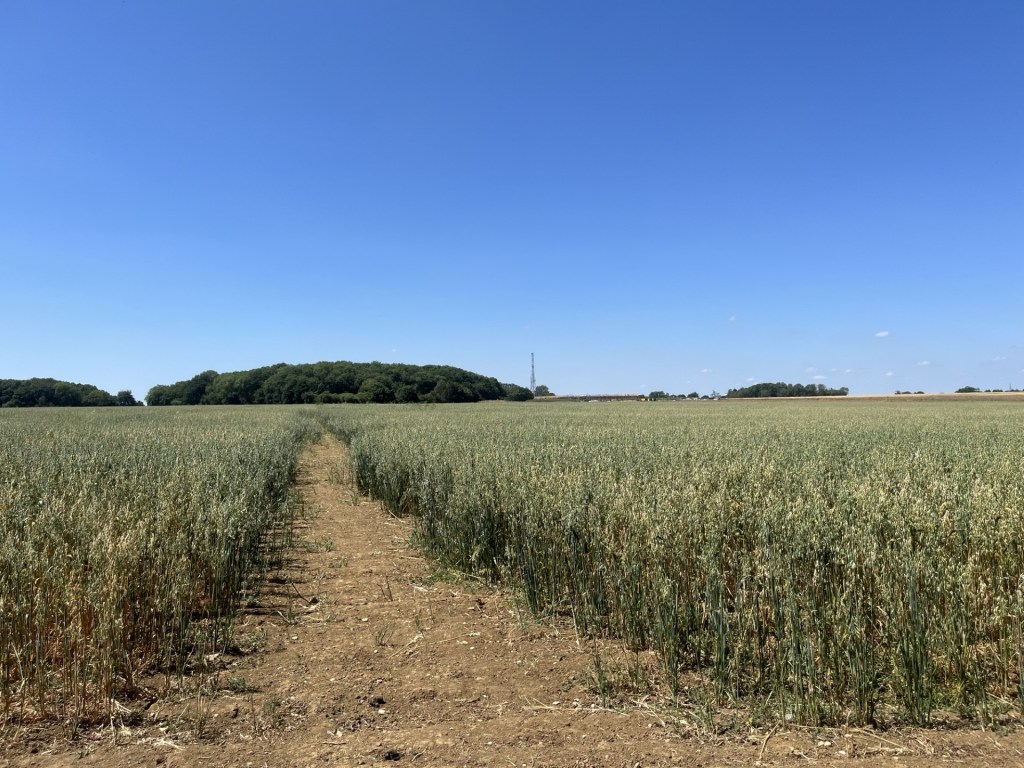



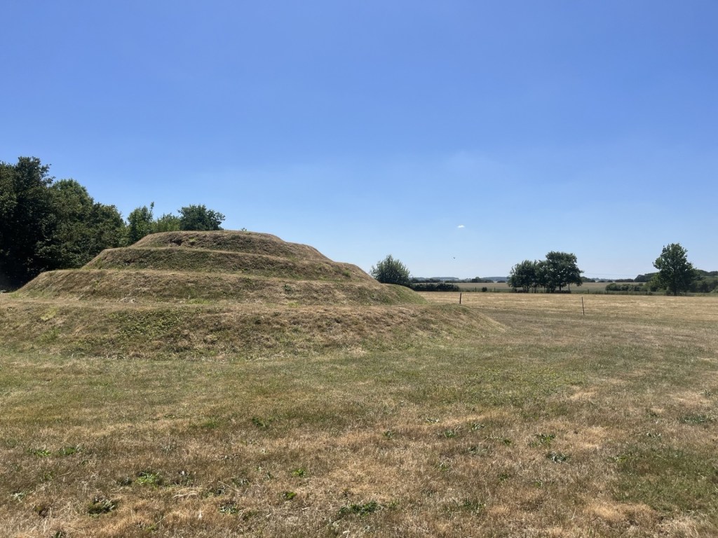
 El Colmado 57